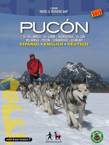
Completely revised and up-to-date map of the Villarrica – Pucón area. For drivers, hikers and mountainbikers, with a list of the best hikes, a city map of Pucón, a register of tourism providers in Pucón, pictures of the most beautiful attractions and drawings of the local fauna. Information in three languages (English-German-Spanish).
Map sheet 70 x 100 cm: Detailed, georeferenced representation (WGS-84) of the area between the lakes Colico, Caburgua, Villarrica, Calafquén and Tromén, wth National parks Huerquehue, Villarrica and El Cañi containing Villarrica (2853 m), Quetrupillán (2350 m) and Lanín (3725 m) volcanoes. Hiking. climbing and biking routes, thermal baths, campsites and lodgings. Scale: 1:100,000
City Map Pucón, including all accommodations, restaurants, agencies and other services.

