€ 14.95
Wegenkaart - landkaart Fuerteventura | Freytag & Berndt

Gedetailleerde wegenkaart met uitgebreide legenda en plaatsnamenregister. Als wandelkaart minder geschikt, maar voor een gewone appartement met auto vakantie prima geschikt. Stranden en toeristische bezienswaardigheden staan goed gemarkeerd.

Fuerteventura at 1:100,000 on a map from Freytag & Berndt with icons highlighting numerous places of interest and recreational facilities including campsites. The island’s topography is well presented by relief shading with spot heights, names of peaks and other geographical features, and boundaries of protected areas.


The map highlights scenic roads and gives driving distances on main routes. Large icons clearly mark various places of interest, including campsites, beaches, viewpoints, cultural and historical sites, golf courses, etc. The map has no geographical coordinates and is not indexed. Map legend includes English.

€ 13.95
Wegenkaart - landkaart Japan North & Hokkaido | ITMB

Een degelijke kaart met aanduidingen van o.a. nationale parken, vliegveld, benzinepomp, dirt-roads en kleine plattegrond van hoofdstad. Als overzichtskaart goed te gebruiken.

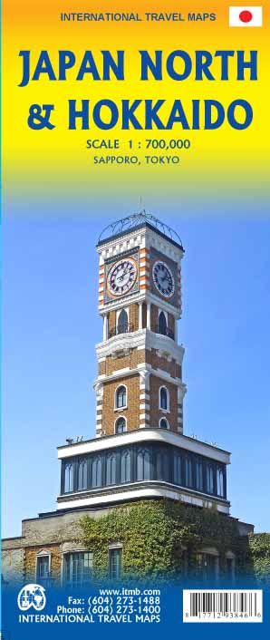
In one sense, this is a brand new map, in that the artwork is all brand new. In another sense, it is our map of Hokkaid re-worked into a more marketable format. In any case, it is a very much-needed sectional map of that portion of Japan from Tokyo northwards. Hokkaido is actually one of the most interesting parts of Japan to visit. The island was opened to settlement only after the Ameicans forced Japan to allow contacts with foreign countries in 1868, thanks to Admiral Peary and Gunboat Diplomacy. Hokkaido has been relatively untouched by Japan’s rush to economic dominance, so is the country’s skiing capital in winter and the part of Japan most similar to America. An inset map of Sapporo is included. The other side shows the main island of the country from Nagoya and Toyama (which are considerably west of Tokyo) through Tokyo itself (inset map included) north all the way to Aomori and the tunnel to Hokkaido. All known touristic sites are included, as well as the famous Shinkensen rail lines (and regular rail lines as well), motorways, all main and secondary highways, and everything is shown at a better scale that would be possible on our Japan map. ITMB also publishes a map of the southern portion of the country, called Kyoto and Southern Japan. This map is printed on paper, double-sided.

€ 13.95
Wegenkaart - landkaart 06 UrlaubsKarte Tirol, Vorarlberg, Südtirol | ADAC

Deelkaart van Oostenrijk: als het gaat om een specifiek deel van Oostenijk is dit de beste keuze. Met een goede schaal geeft het een gedetailleerd beeld met alle dorpen, steden, en andere topografische details.

"Es ist gut zu wissen, wo sich im Urlaubsgebiet die bedeutenden kulturellen und landschaftlichen Sehenswürdigkeiten befinden. Das präzise und klar lesbare Kartenbild der ADAC UrlaubsKarte führt Sie nicht nur zu diesen wirklich interessanten Stellen einer Region, sondern zeigt Ihnen außerdem noch viele andere wissenswerte Details. Dank des großen Maßstabs 1:150 000 können Sie sich gut in der fremden Landschaft orientieren und finden auch auf interessanten, abgelegenen Straßen sicher zum Ziel."


Diese Serie der ADAC UrlaubsKarten stellt Österreich im optimalen Detailmaßstab 1:150 000 und in gewohnt guter ADAC Qualität kartografisch dar.


"Hauptkarte 1:150 000 mit mehrsprachiger Legende (D, GB, F, I) Registerheft: 15 Zentrumspläne mit Zeichenerklärung, wichtigen Daten und Telefonnummern: - Bludenz - Bozen/Bolzano - Bregenz - Dornbirn - Feldkirch - Götzis - Hall in Tirol - Hohenems - Imst - Innsbruck - Lustenau - Rankweil - Schwaz - Telfs - Wörgl Ortsverzeichnis mit Postleitzahl, Bundesland, Bezirk / Gemeindezugehörigkeit und Suchfeldangabe"