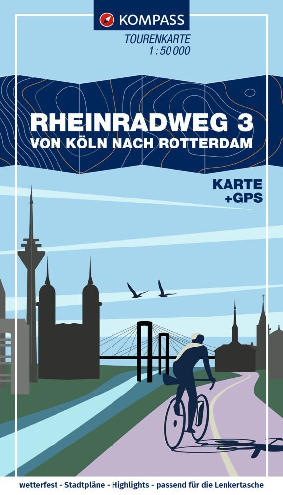
Fietskaart 7058 Rheinradweg 3 Köln, Keulen - Rotterdam | Kompass
€ 16,-De KOMPASS-fietskaartenserie heeft volgende overtuigende eigenschappen: - duidelijke cartografie op een schaal v…
De Zwerver →
De KOMPASS-fietskaartenserie heeft volgende overtuigende eigenschappen: - duidelijke cartografie op een schaal v…
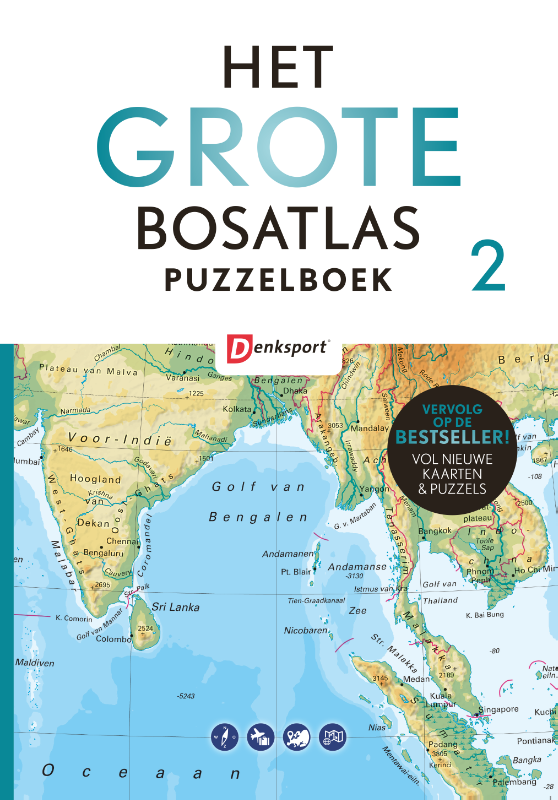
Liefhebbers van kaarten, atlassen en puzzels wisten editie 1 van Het Grote Bosatlas puzzelboek (meer dan 70.000 ex…
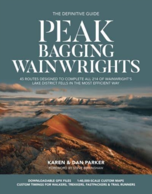
Over fifty years ago, renowned British hillwalker and guidebook author Alfred Wainwright described 214 peaks in th…

Big Trails: Great Britain and Ireland Volume 2 is the second volume of this inspirational guide to the most iconic…

Michaël Cassaert ging op zoek naar de meest iconische natuurgebieden in Vlaanderen en stippelde er 20 heerlijke on…
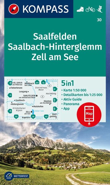
Goede wandelkaart met vrijwel alle topografische details als hoogtelijnen, vegetatie, schaduwtekening maar ook de …
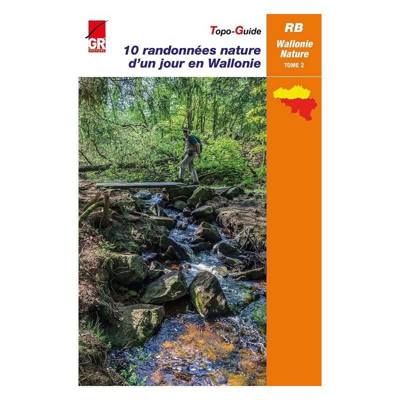
In navolging van deel 1, nodigt nu ook deel 2 van de populaire topogids 10 randonnées nature d’un jour en Wallonie…
Navigate your way around Oxford with detailed street maps from A-Z This up-to-date, folded A-Z street map include…
Navigate your way around Leeds with detailed street maps from A-Z This up-to-date, folded A-Z street map includes…

Offizielle Karte des ADFC Allgemeiner Deutscher Fahrrad-Club e.V. die ideale Karte für Planung und Durchführung vo…