Wandelkaart 36 Innsbruck - Brenner | Kompass
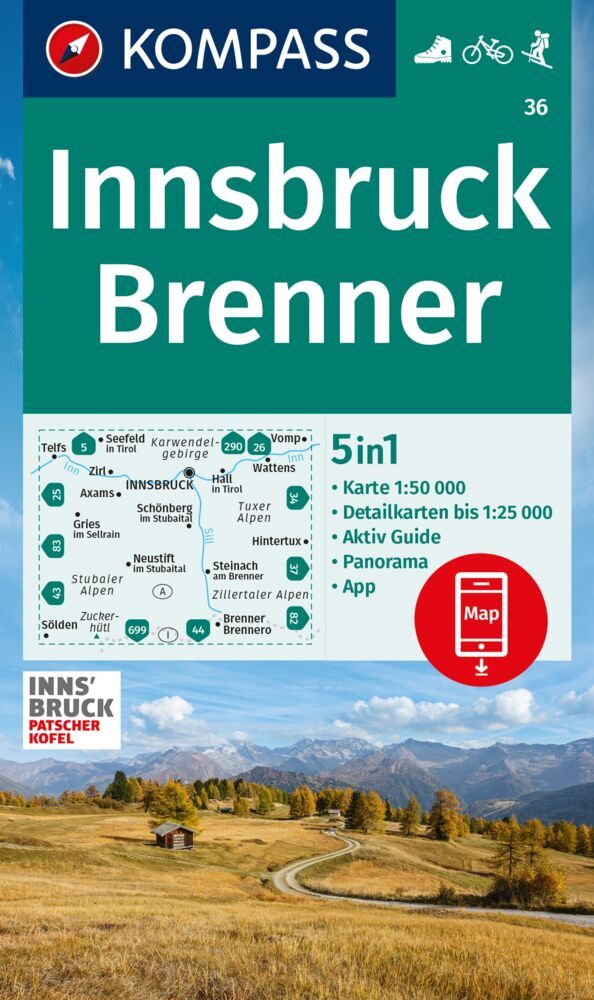
€ 15,-Goede wandelkaart met vrijwel alle topografische details als hoogtelijnen, vegetatie, schaduwtekening maar ook de …
De Zwerver →
Goede wandelkaart met vrijwel alle topografische details als hoogtelijnen, vegetatie, schaduwtekening maar ook de …
Une collection qui porte bien son nom. Les plus belles randonnées, issues d'une sélection rigoureuse, réunies en u…
Goede wandelkaart met vrijwel alle topografische details als hoogtelijnen, vegetatie, schaduwtekening maar ook de …
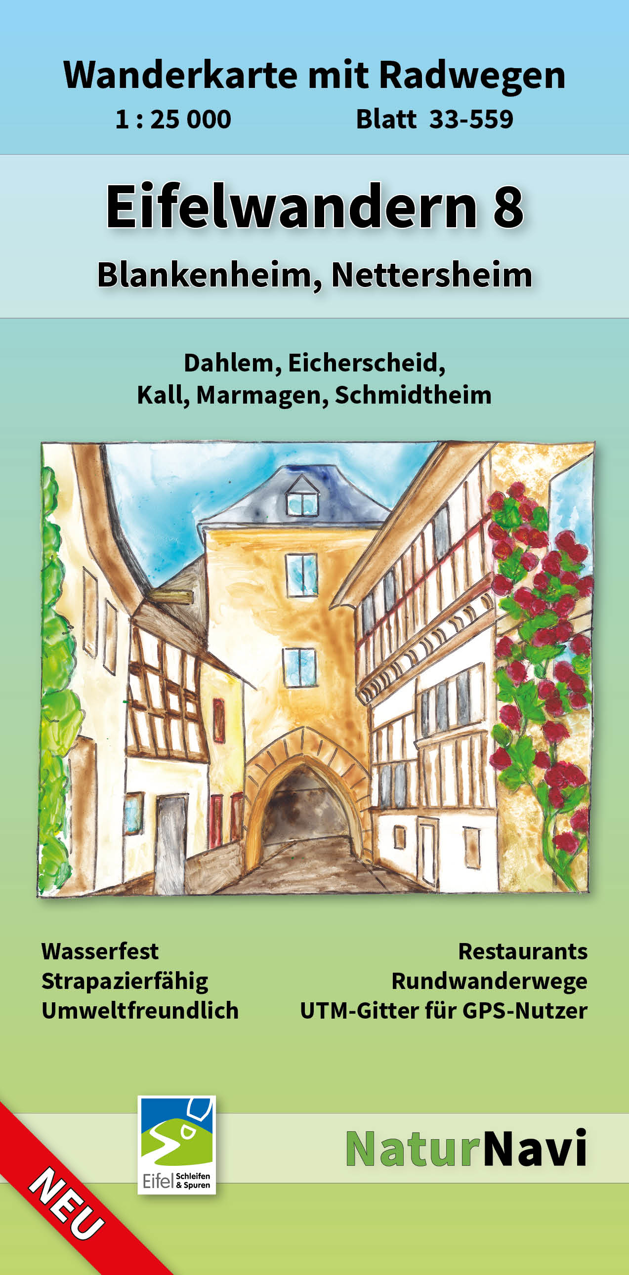
Uitstekende geplastificeerde wandelkaart van de Eifel • Sehr genaue und aktuelle topografische Kartographie im…

Das Rhein-Main-Gebiet ist eine der kulturell und landschaftlich vielseitigsten Regionen Deutschlands. Hinter jeder…
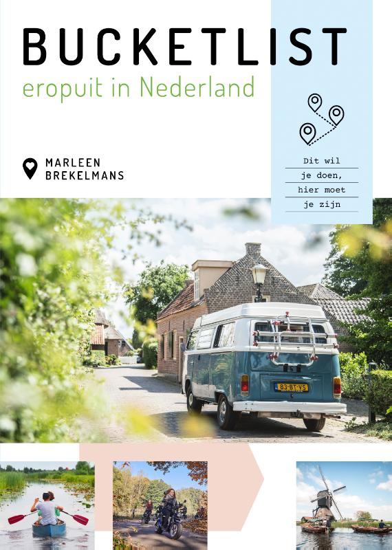
Marleen Brekelmans zorgt er met 'Bucketlist eropuit in Nederland' voor dat elk dagje uit onvergetelijk wordt. Zij …
A portrait of Istanbul's outposts of good food, design, retail, and more, this definitive travel guide will make y…
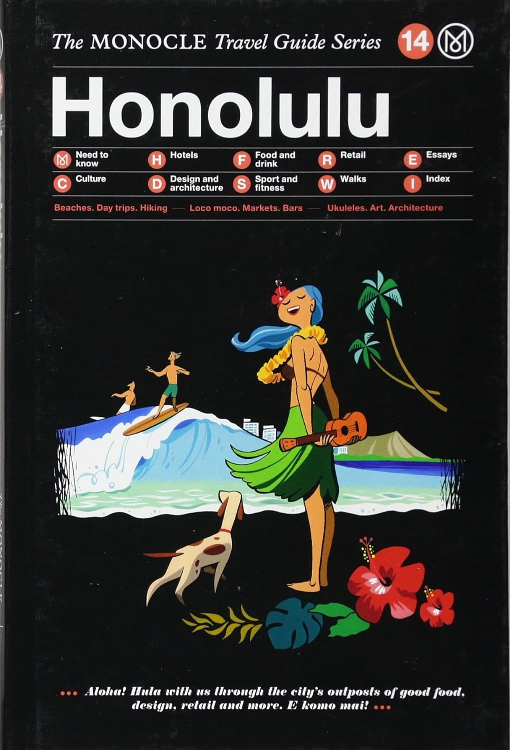
Honolulu - where surfers and hula dancers mingle on pristine beaches beneath a volcano. The capital of paradise, H…
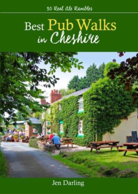
CHESHIRE IS WELL KNOWN for both its beautiful countryside and its country pubs. This fully revised and updated, 3r…
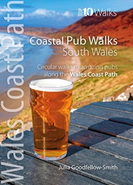
South Wales’ best coastal pub walks This pocket-sized guide gives walkers ten easy, circular walks to amazing coa…