Wandelgids Vallemaggia - Tessin | Rotpunktverlag
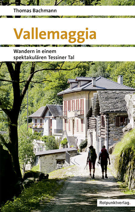
€ 37,-Verästelt, verzweigt, verwinkelt - Vallemaggia, Val Bavona, Val Lavizzara, Valle di Peccia. Das Maggiatal und sein…
De Zwerver →
Verästelt, verzweigt, verwinkelt - Vallemaggia, Val Bavona, Val Lavizzara, Valle di Peccia. Das Maggiatal und sein…
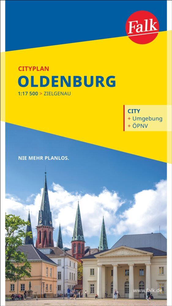
Goede uitgebreide stadsplattegrond van Oldenburg met een extra gedetailleerde kaart van het centrum en een registe…
Nieuwe druk 2020, nu waterbestendig gemaakt! Goede kaarten, de route staat ingeketend, daarnaast een duidelijke b…
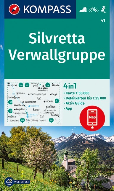
Goede wandelkaart met vrijwel alle topografische details als hoogtelijnen, vegetatie, schaduwtekening maar ook de …
Een degelijke kaart met aanduidingen van o.a. nationale parken, vliegveld, benzinepomp, dirt-roads en kleine platt…
FRANSTALIG Les Amis de Saint-Jacques de Compostelle, het genootschap van onze zuiderburen, onderhoudt eveneens…
De Peloponnesus is een van de meest bezochte en tegelijk een van de meest verrassende regio’s van Griekenland. Het…
Goede geplastificeerde wegenkaart van Taiwan. Aan beide kanten bedrukt. Met veel toeristische aanduidingen als nat…
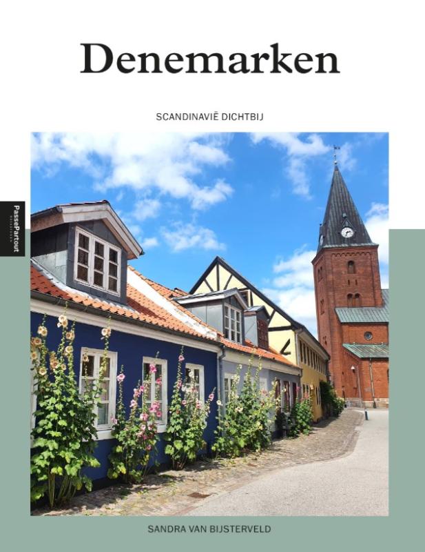
Scandinavië wordt steeds populairder als vakantiebestemming. Je vindt er nog volop rust, ruimte en gematigde tempe…
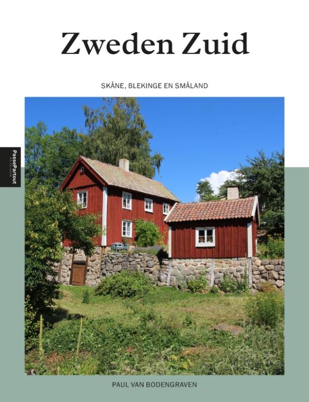
In Zuid-Zweden vind je alles wat Zweden zo’n prachtig vakantieland maakt. Een eindeloze kust, met witte stranden e…