Reisgids PassePartout Oxford en Cotswolds | Edicola
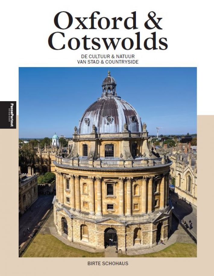
€ 25,-Wie Oxford zegt, heeft het vaak over de beroemde universiteit. En terecht, de stad en de onderwijsinstelling zijn …
De Zwerver →
Wie Oxford zegt, heeft het vaak over de beroemde universiteit. En terecht, de stad en de onderwijsinstelling zijn …

Sevilla overdondert je van bij aankomst met haar rijke en monumentale verleden. De zonovergoten hoofdstad van Anda…

De la Bretagne à la Corse, partez à la découverte de la France avec cette EDITION 2024 du guide Escapades en camp…
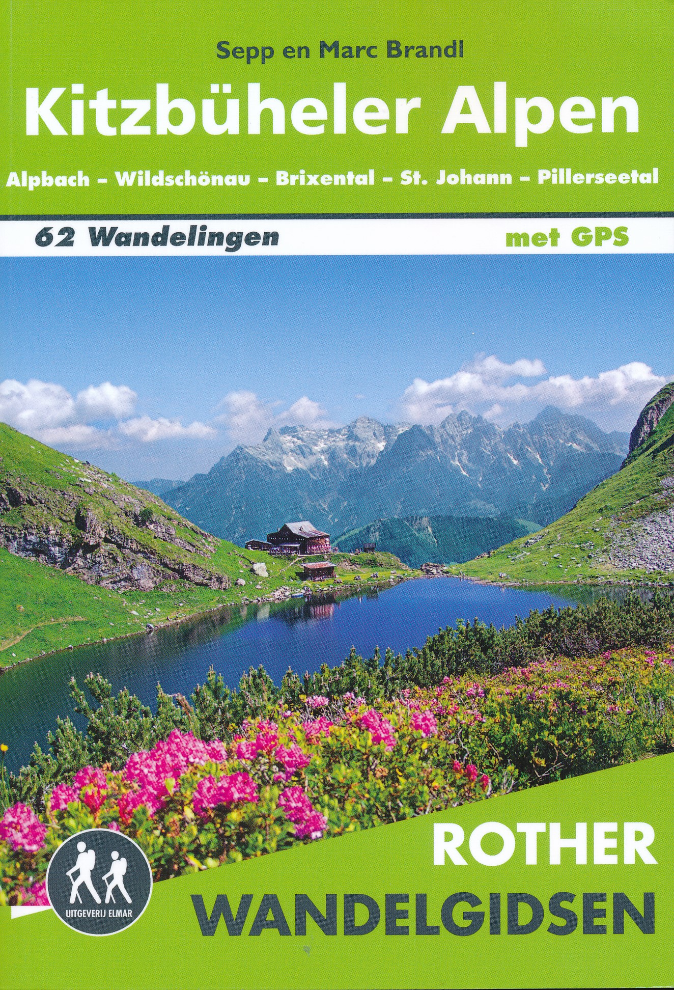
Uitstekende wandelgids met een groot aantal dagtochten. Met praktische informatie en beperkt kaartmateriaal! Wande…
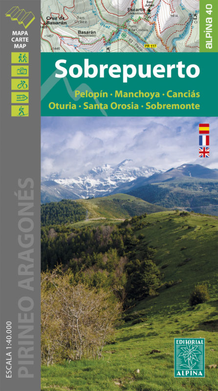
Goede wandelkaart van dit gebied met alle noodzakelijke informatie als berghutten, campings. Kleurgebruik vrij fel…
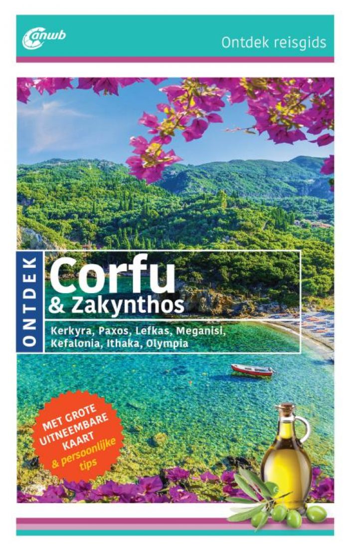
ANWB Ontdek reisgids Corfu & Zakynthos Verken Corfu, Zakynthos en de andere Ionische Eilanden – Paxos, Léfkas, Ith…
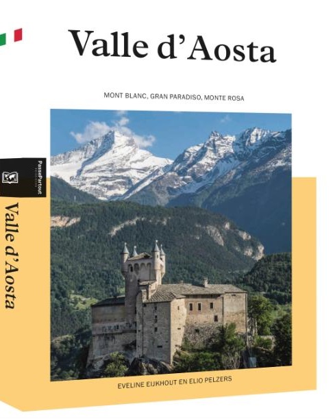
Ingepakt tussen de hoogste Alpentoppen ligt het indrukwekkende Val d’Aosta op het kruispunt van Italië, Frankrijk …
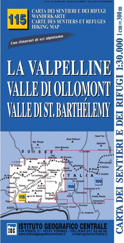
Gedetailleerde wandelkaart met hoogtelijnen, wandelroutes en hutten ingetekend. Wandelkaarten van het IGC zijn…
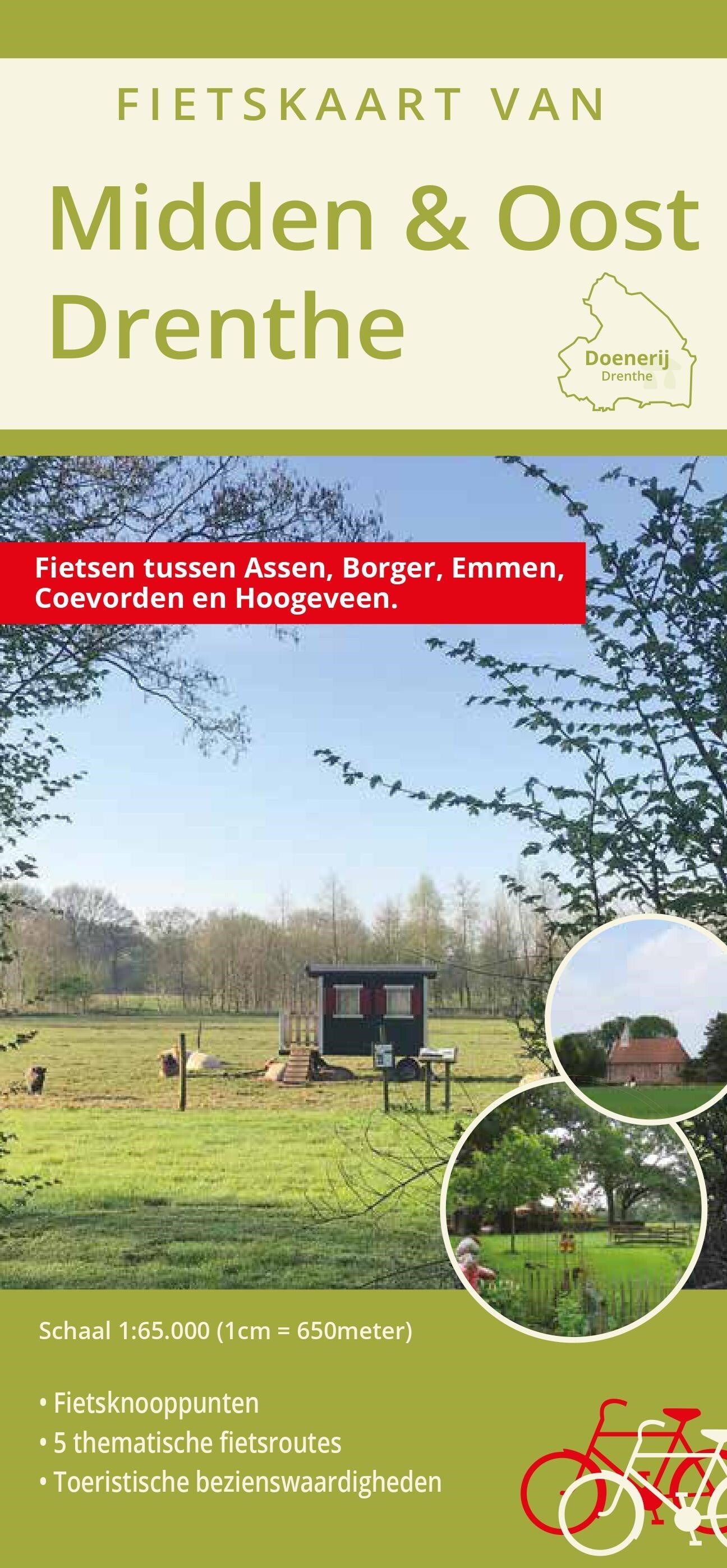
Een mooie overzichtskaart voor wie Oost Drenthe per fiets of auto wil verkennen. Met een keur aan toeristische bez…
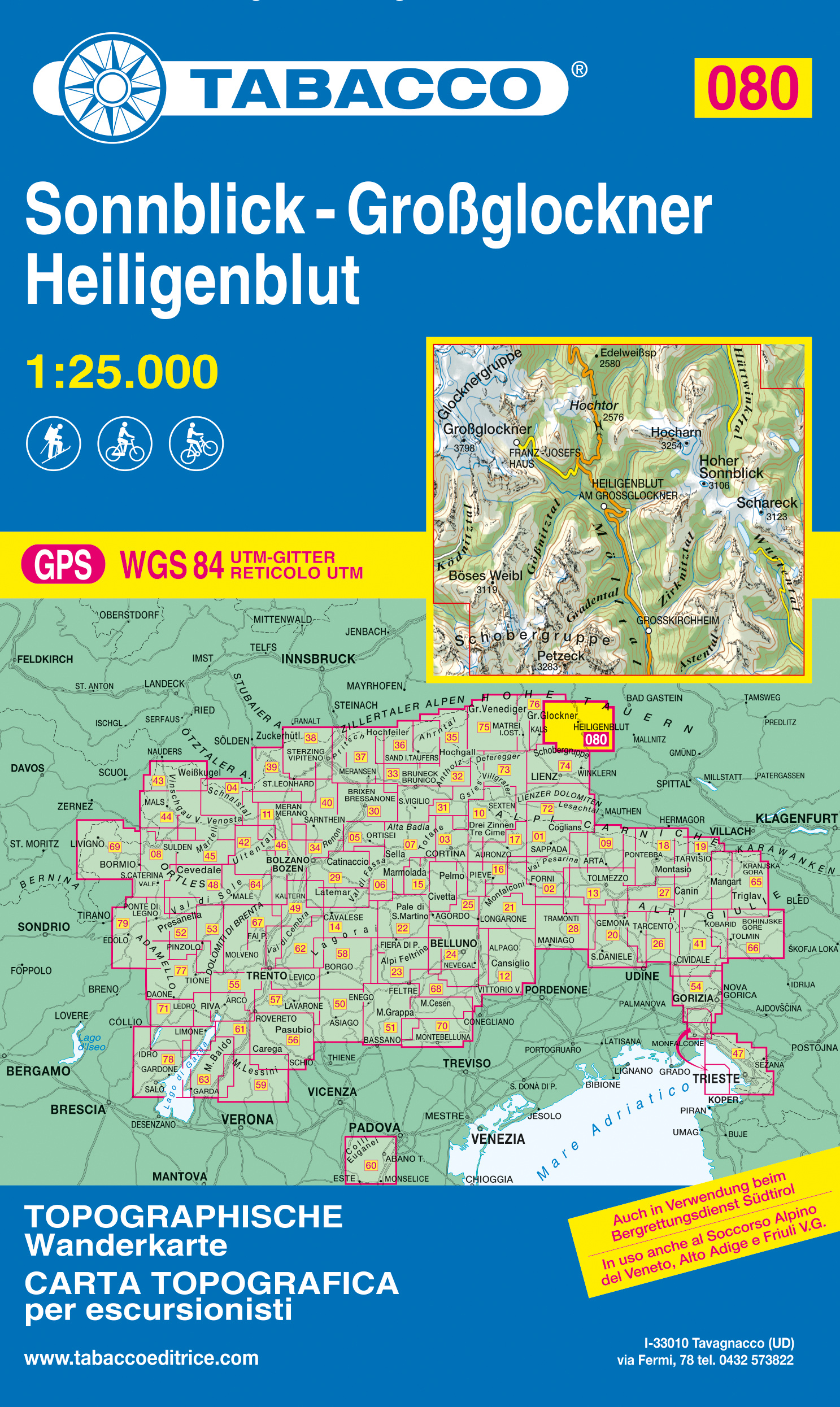
De beste wandelkaarten voor de Dolomieten. Zeer veel topografische details met secure hoogtelijnen (25 meter inter…