Fietsgids Best Bike Rides Frankrijk - France | Lonely Planet
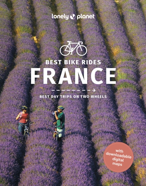
€ 23,-Lonely Planet's Best Bike Rides France is your passport to 40 day trips on two wheels. Use pedal power to see a de…
De Zwerver →
Lonely Planet's Best Bike Rides France is your passport to 40 day trips on two wheels. Use pedal power to see a de…
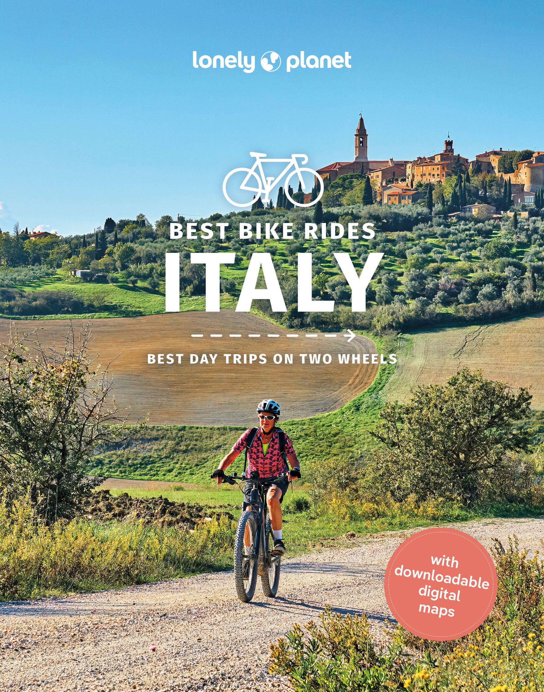
Lonely Planet's Best Bike Rides Italy is your passport to 40 day trips on two wheels. Use pedal power to see a des…
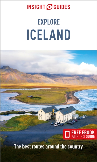
Insight Guides Explore is an illustrated, practical pocket-sized travel guide to Iceland with ready-made cycling, …
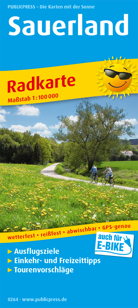
The Sauerland cycling map promises pure nature. The typically swinging landscape with its hills, mountains, forest…
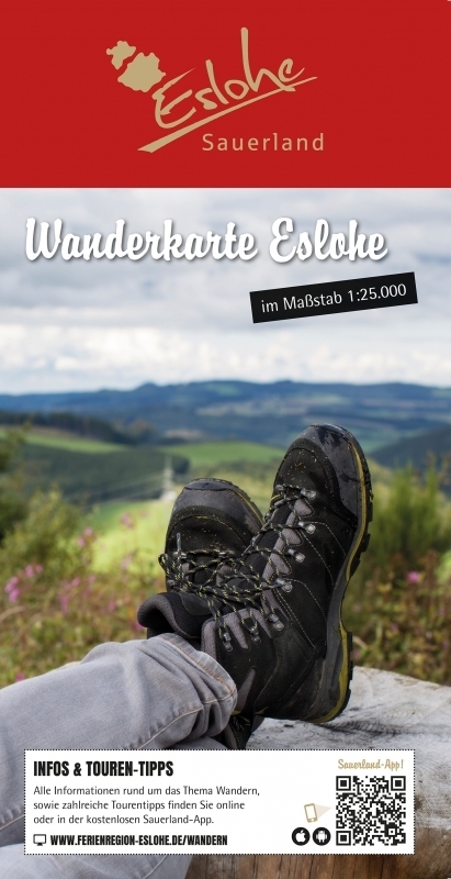
Die Ferienregion Eslohe und das Schmallenberger Sauerland sind Teil der "1. Qualitätsregion Wanderbares Deutschlan…
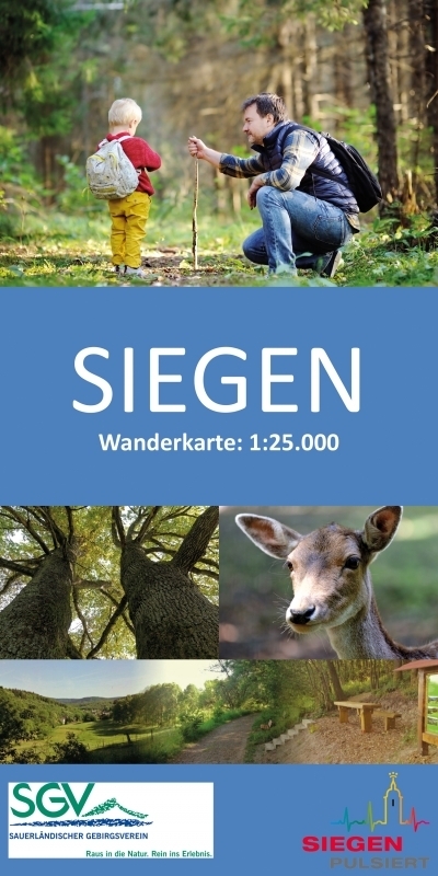
Wen es in die Ferne zieht, der gelangt von Siegen aus zum Beispiel über den Rothaarsteig bis nach Brilon oder Dill…
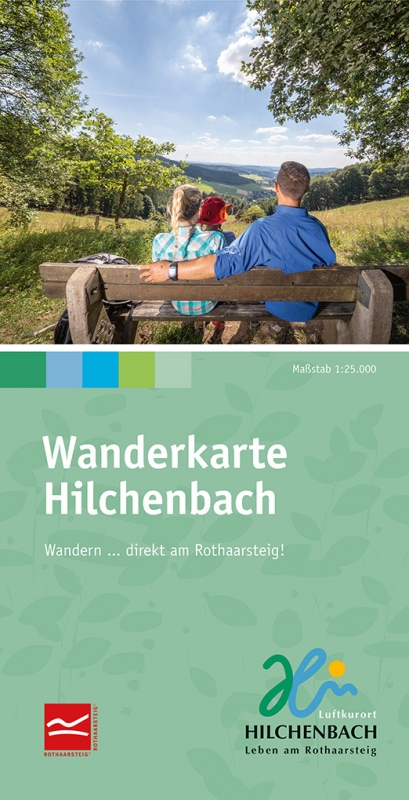
"Leben am Rothaarsteig" ist unser Motto und für Sie heißt das: Natur pur, direkt vor der Haustür! Aktiv sein, wand…
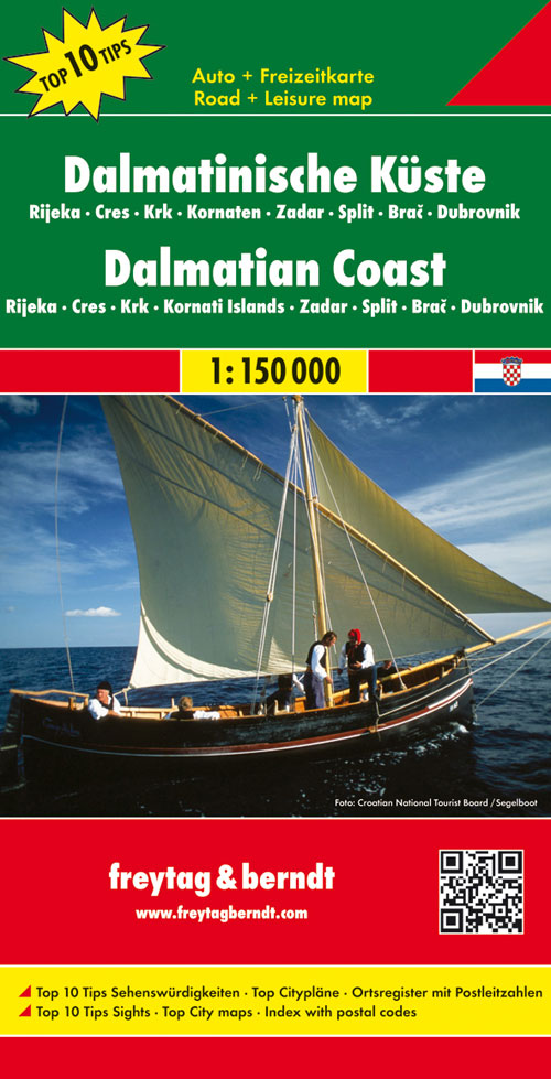
Uitstekende tweezijdige wegenkaart van een groot deel van de Dalmatische kust van Kroatie. Zeer gedetailleerde ka…
Til je gastronomische ervaring in Japan naar een hoger niveau, en ontdek de heerlijke verscheidenheid en unieke id…

Two iconic cities that have rewritten the record books, Dubai and Abu Dhabi are futuristic playgrounds packed with…