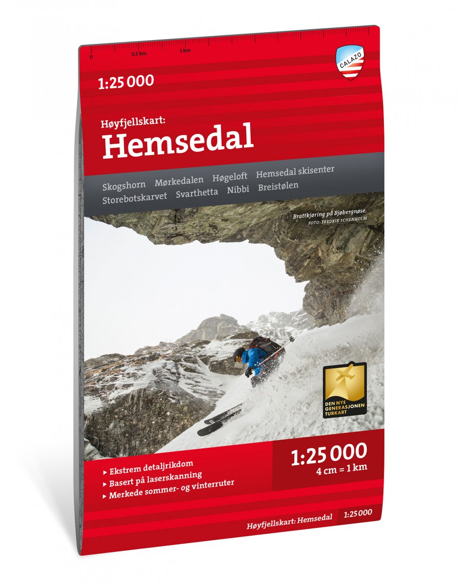
Wandelkaart Hoyfjellskart Hemsedal | Noorwegen | Calazo
€ 25,-Calazo, een kaartenmaker uit Zweden, maakt heel goede wandelkaarten van bekende en minder bekende gebieden in Scan…
De Zwerver →
Calazo, een kaartenmaker uit Zweden, maakt heel goede wandelkaarten van bekende en minder bekende gebieden in Scan…
Voor vele landen net zo goed, zo niet beter dan de Planet. Beduidend soberder uitgevoerd, maar ook met veel inform…
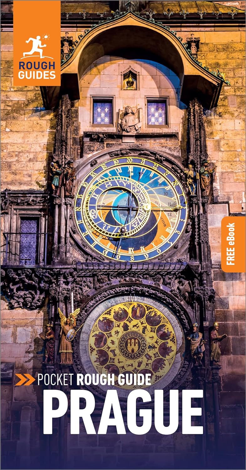
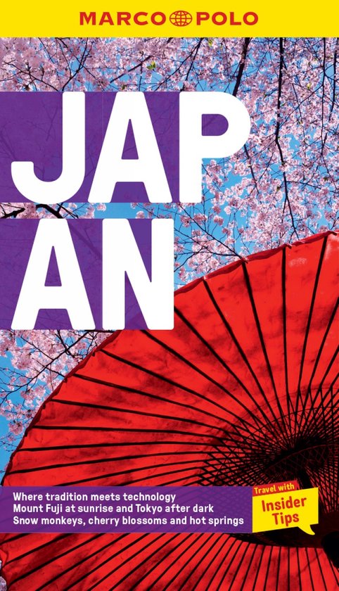
Een kleinere versie in zakformaat van de grotere versies van de Rough Guides. Als altijd weer vol met goede inform…
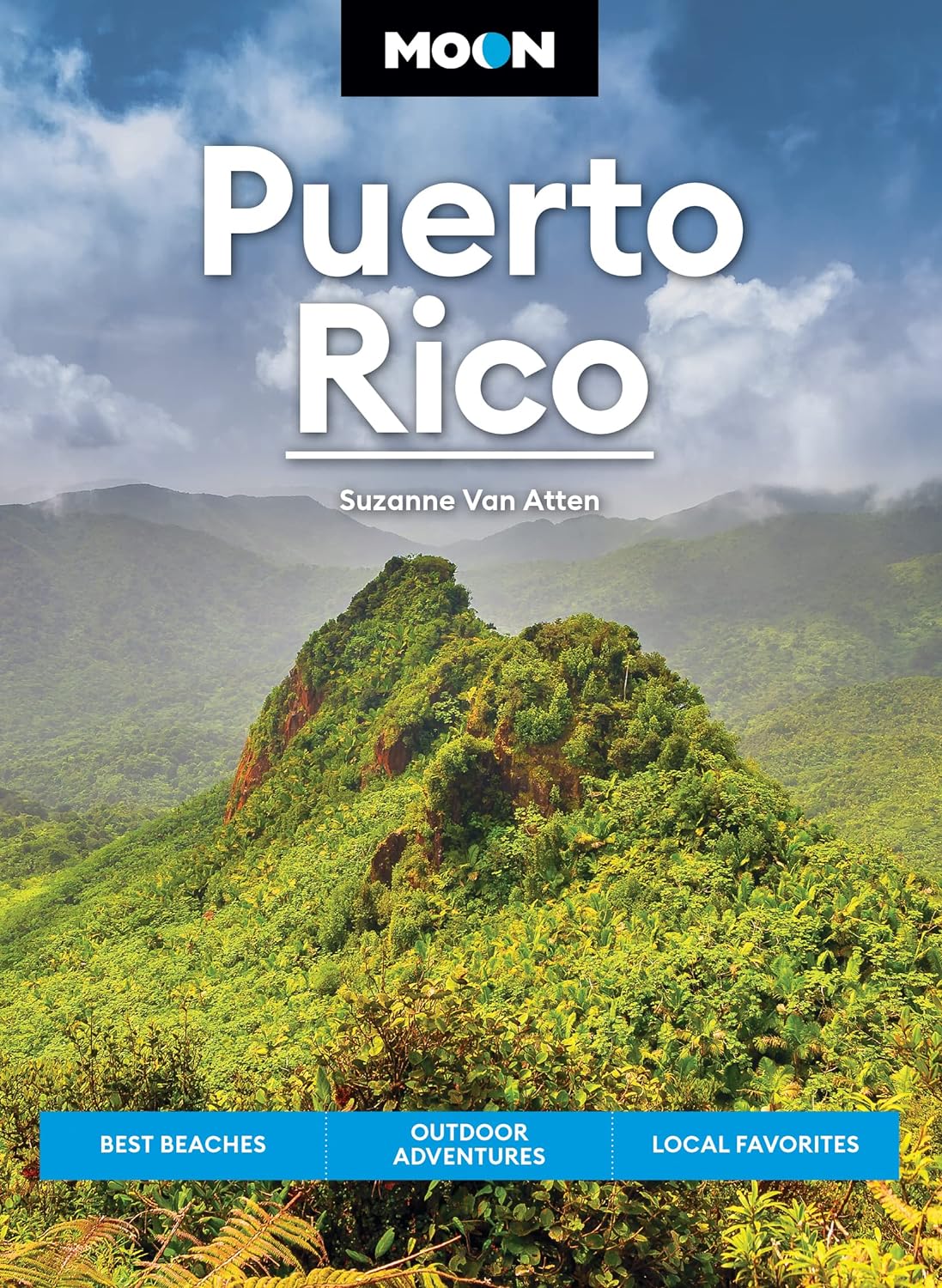
Uitstekende Amerikaanse reisgids van uitgever Moon. De gids is vergelijkbaar met Lonely Planet en Rough guide en i…

Handige en overzichtelijke, kleine reisgids voor een eerste kennismaking met de vakantiebestemming. Globale uitkla…
Handige en overzichtelijke, kleine reisgids voor een eerste kennismaking met de vakantiebestemming. Globale uitkla…

An ambitious and magnificent new travelogue by internationally bestselling, prizewinning writer Erika Fatland. …
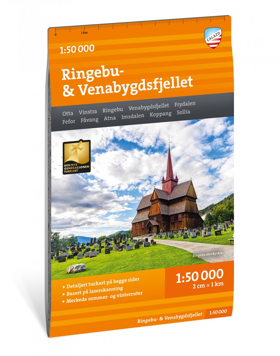
Calazo, een kaartenmaker uit Zweden, maakt heel goede wandelkaarten van bekende en minder bekende gebieden in Scan…
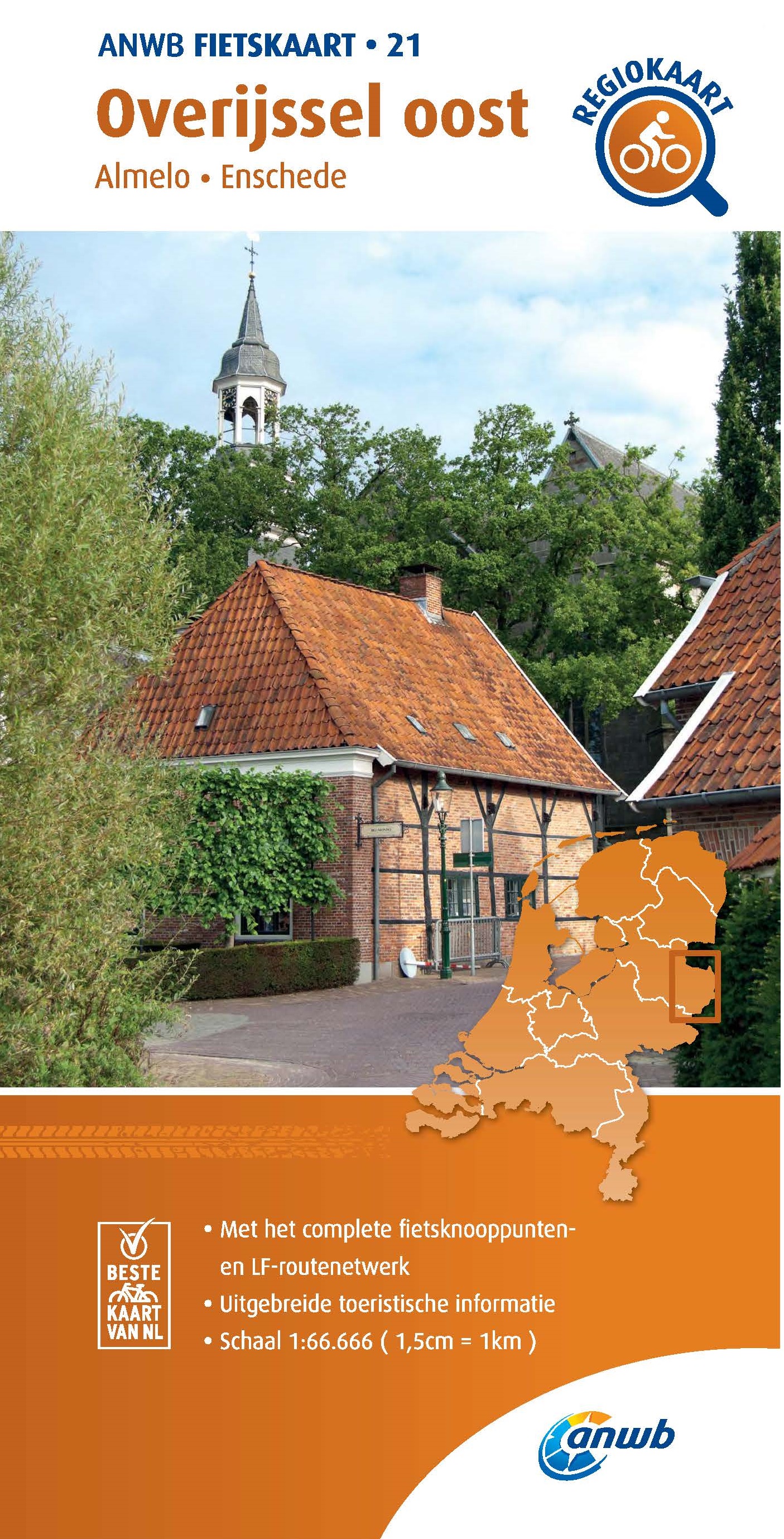
Met een bijzondere schaal van 1:66.666 heeft de ANWB haar fietskaarten vernieuwd: voor het hele land zijn nu maar …
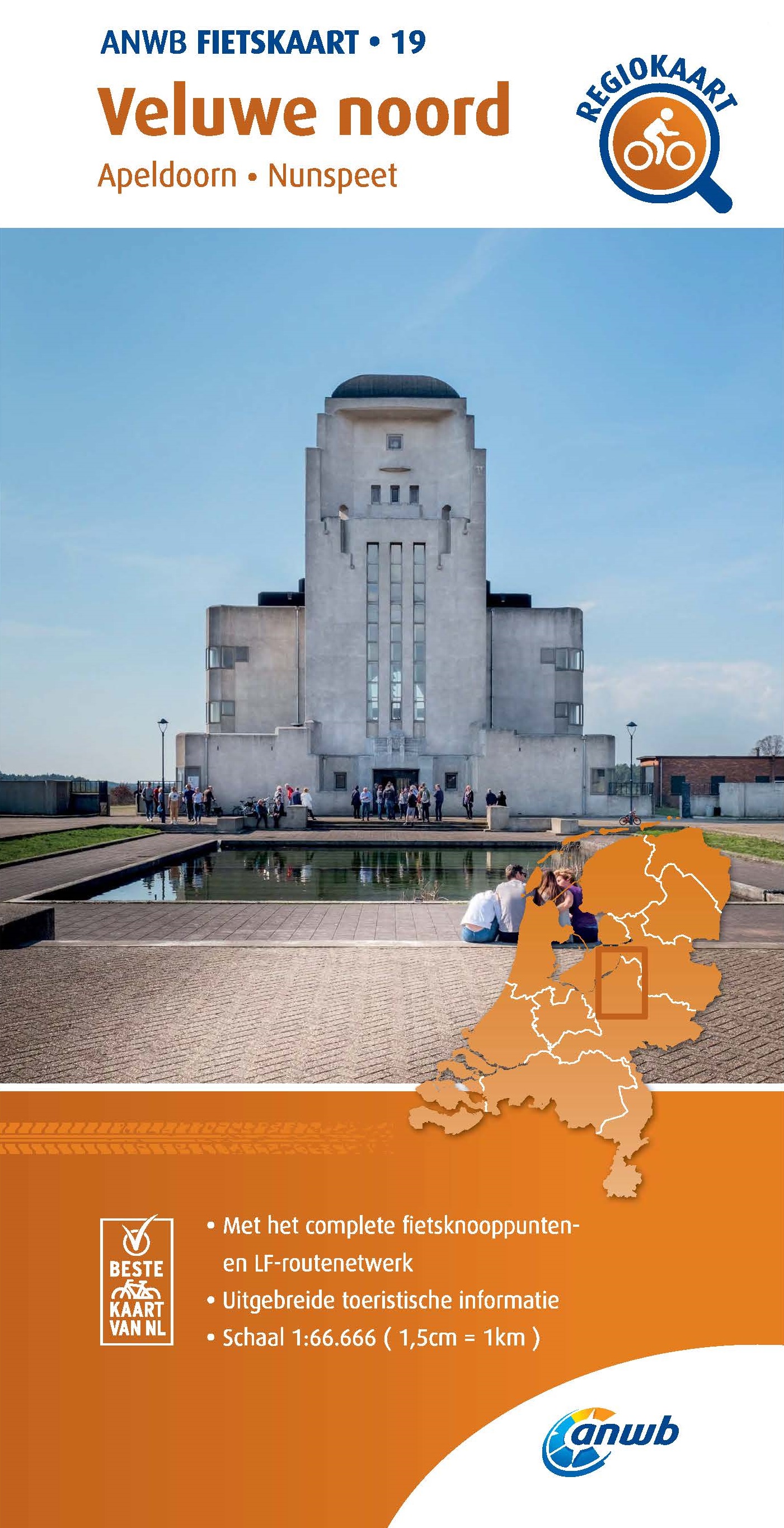
Met een bijzondere schaal van 1:66.666 heeft de ANWB haar fietskaarten vernieuwd: voor het hele land zijn nu maar …