Reisgids ANWB Wereldreisgids Thailand | ANWB Media
€ 33,- De Zwerver →
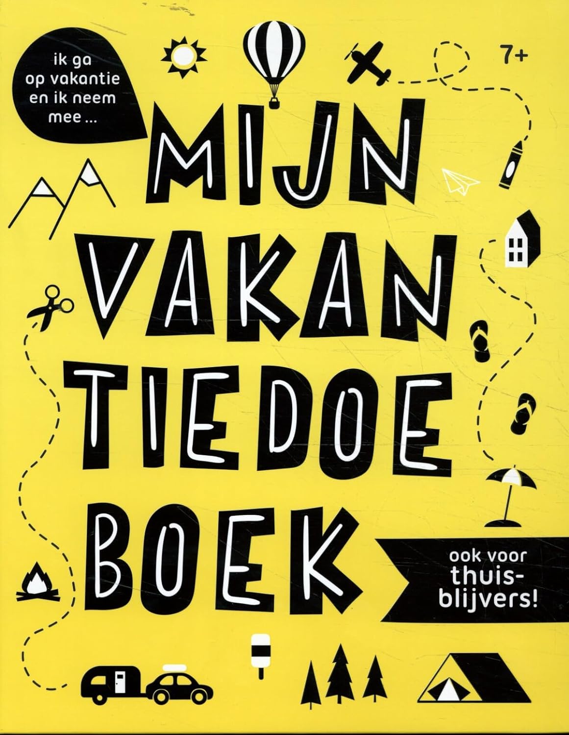
Is er even niemand om mee te spelen? Geen probleem, want jij verveelt je niet! In dit gave doeboek vind je kleur …
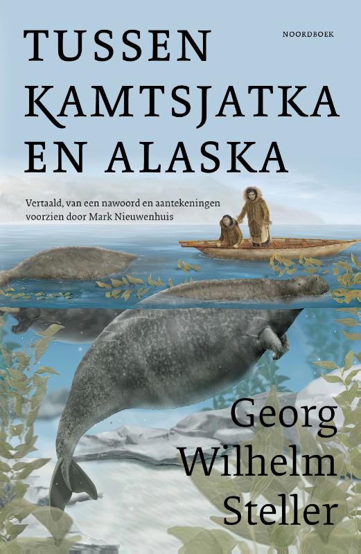
Georg Wilhelm Steller hoort thuis in het rijtje natuurhistorische onderzoekers zoals Darwin, von Humboldt en Walla…
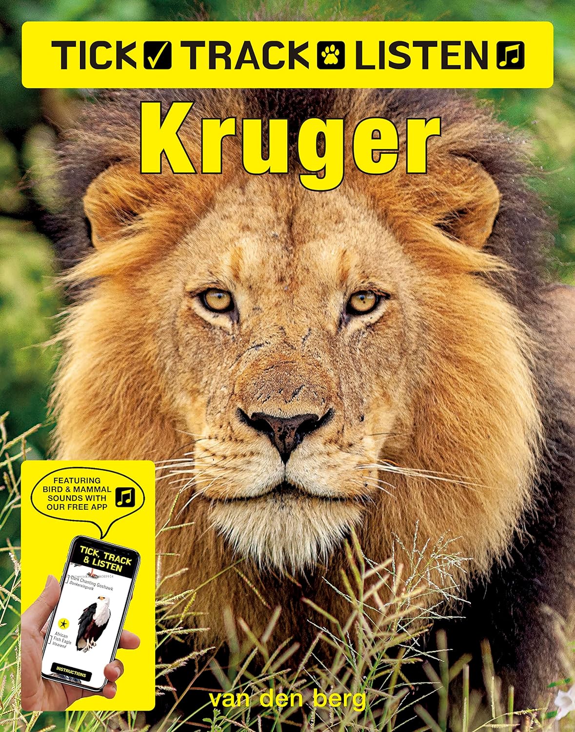
Brand new and unique, this book works with our free app to play animal and bird calls and sounds simply by pointin…