Reisgids ANWB Ontdek Japan | ANWB Media
€ 24,- De Zwerver →
Is er even niemand om mee te spelen? Geen probleem, want jij verveelt je niet! In dit gave doeboek vind je kleur …
Georg Wilhelm Steller hoort thuis in het rijtje natuurhistorische onderzoekers zoals Darwin, von Humboldt en Walla…
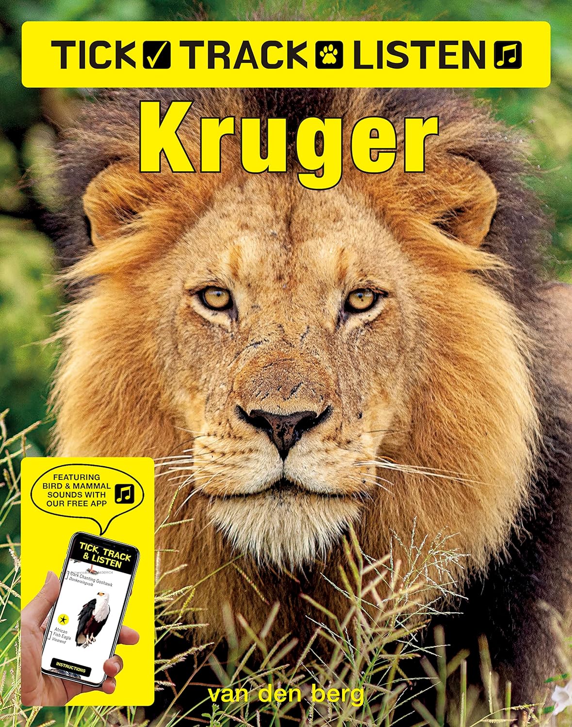
Brand new and unique, this book works with our free app to play animal and bird calls and sounds simply by pointin…
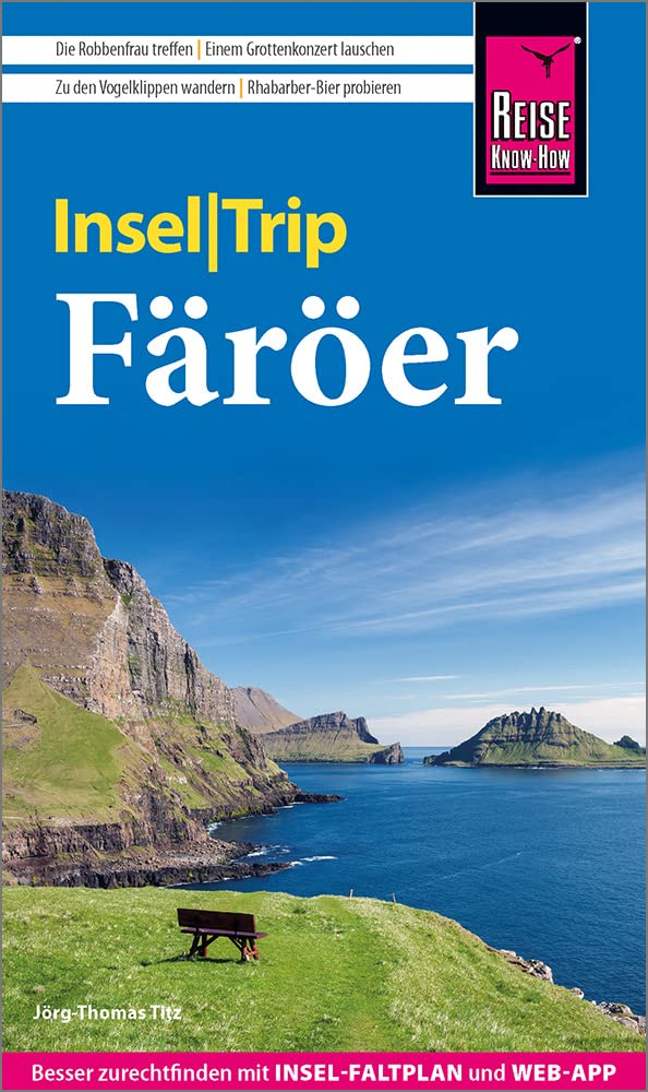
Die 18 "Schafsinseln" der Färöer leuchten in intensiven Farben. Die raue, ungezähmte Natur ermöglicht vielfältige …
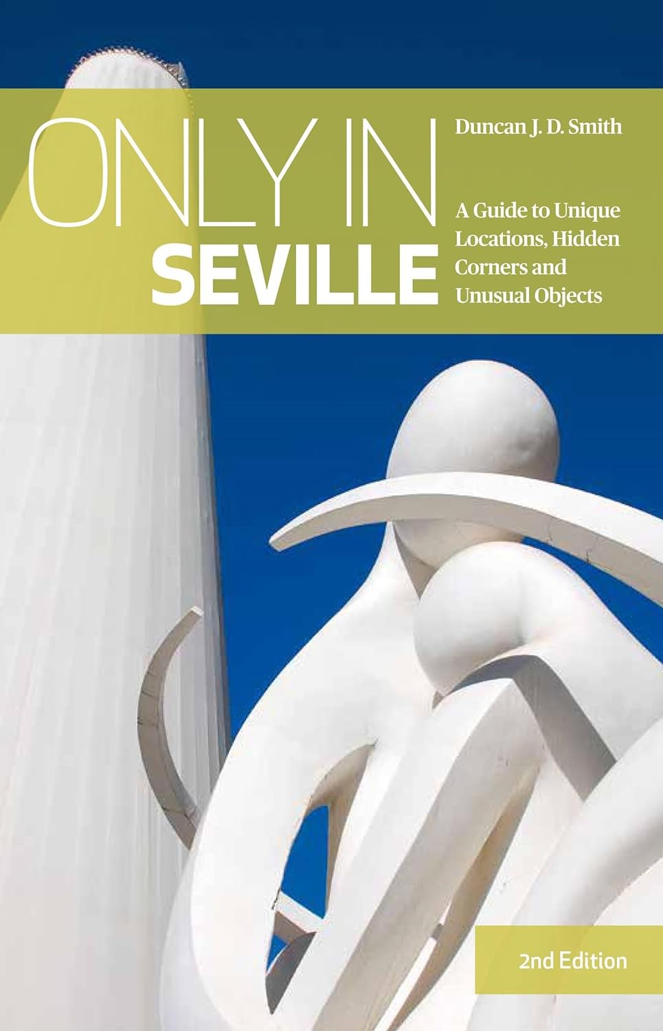
Discover Seville's colourful history, astonishing architecture, and dynamic street life with this explorer's guide…
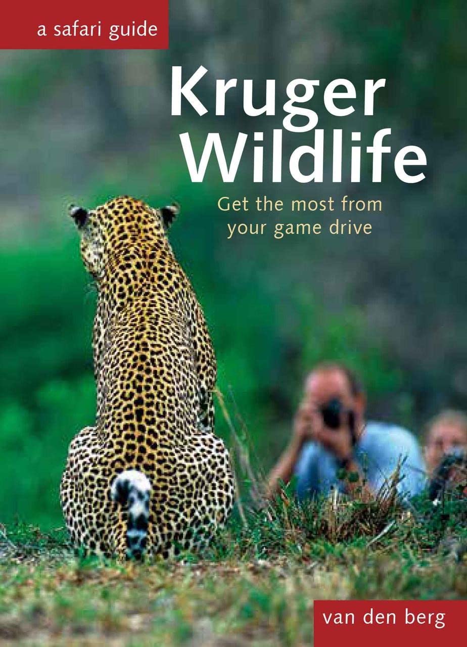
This excellent book's size belies its incredible utility. The perfect companion to any foray into the savannah, Kr…
Gedetailleerde wegenkaart met aanduiding van de wandelwegen, lijst van hotels en toeristische informatie. Voor all…
Lonely Planet's Best Bike Rides France is your passport to 40 day trips on two wheels. Use pedal power to see a de…