€ 17.50
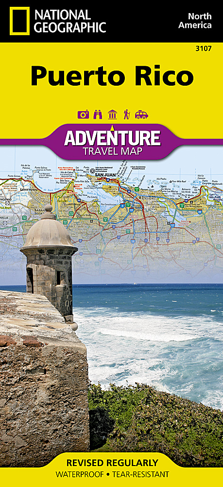
Wegenkaart - landkaart 3107 Adventure Map Puerto Rico | National Geographic

Wegenkaart van Puerto Rico met vermelding van veel bezienswaardigheden, nationale parken en attrakties. Watervast en scheurvast. Juist door deze vermeldingen onderscheidt de kaart zich van andere wegenkaarten.

Like all Adventure maps, Puerto Rico contains detailed topographic information, plus useful traveling tips, and regional information. Printed on the same waterproof, tear-resistant material as our Trails Illustrated maps—our adventure series maps will stand up to rigorous travel, and contain the navigation aids necessary for backcountry use with GPS or compass.

€ 16.55
Wandelkaart South Loch Ness Trail | Harvey Maps

Mooie, duidelijke kaart van de South Loch Ness Trail in Schotland. Geplastificeerd met veel extra informatie en uitsnedes van de route.


This map has been produced in association with Destination Loch Ness Ltd.


The South Loch Ness Trail is 28 miles long and is an exciting new trail for all types of users. The Trail of the Seven Lochs at South Loch Ness is 50 miles long and offers stunning views for walkers and riders alike.


This map is your essential piece of equipment. Although the route is waymarked it is never a good idea to walk in remote areas without a map and compass.

€ 25.95
Wandelkaart Shropshire Way | Harvey Maps

Mooie, duidelijke kaart van de Shropshire Way in het midden van Engeland. Geplastificeerd met veel extra informatie en uitsnedes van de route.


Shropshire Way, Shropshire Hills


Map of the Shropshire Way Shropshire Hills section.


Tough, light and 100% wateproof


Compact and light - the map itself weighs just 60gms - a third of the weight of a laminated map, and much less bulky. And you can fold or refold it time and again, or stuff it in your back pocket and it won't fall to pieces. Shows the routes in the southern (Shropshire Hills) section


Information on finding accommodation, camping, food. Directions to the start. Also Ranger Service contact numbers and enlargements of towns/villages showing facilities available and tips on weather and clothing


Detailed mapping, full legend. National Grid - can be used with GPS. 1:40,000 scale. Waterproof. Supplied in clear plastic pocket

€ 17.50
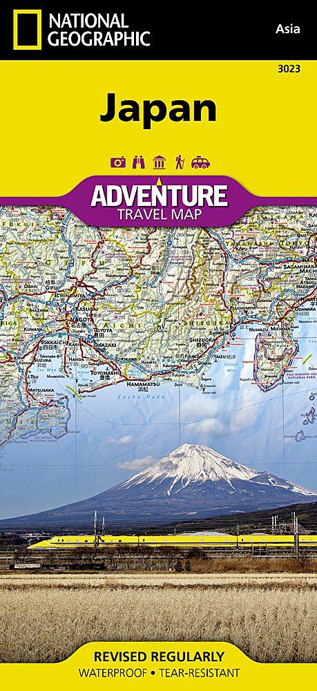
Wegenkaart - landkaart 3023 Adventure Map Japan | National Geographic

Wegenkaart van Japan met vermelding van veel bezienswaardigheden, nationale parken en attrakties. Watervast en scheurvast.

National Geographic's Japan Adventure Map is designed to meet the unique needs of adventure travelers with its durability and accurate information. Each folded map provides global travelers with the perfect combination of detail and perspective, highlighting the area’s terrain and best locations for adventure activities like snorkeling, surfing, fishing, and more. Adventure Maps include hundreds of points of interest that highlight diverse and unique destinations within the country.


The map includes the locations of thousands of cities and towns with a user-friendly index, plus a clearly marked road network complete with distances and designations for major highways, main roads, and tracks and trails for those seeking to explore more remote regions.


Key Features:

Waterproof and tear-resistant

Detailed interpretive information and local travel tips

Detailed topography complete with activity symbols, ideal for exploring the country

City overview maps

Hundreds of points of interest, including the location of World Heritage sites, national parks and nature reserves, aboriginal settlements and protected lands, mines, archeological sites, wildlife parks and more

Thousands of place names

Important travel aids including airports, lighthouses, ferry routes and rail lines

Developed in cooperation with local agencies

Updated regularly to ensure accuracy

€ 17.50
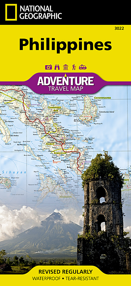
Wegenkaart - landkaart 3022 Adventure Map Philippines - Filipijnen | National Geographic

Wegenkaart van de Filipijnen met vermelding van veel bezienswaardigheden, nationale parken en attrakties. Watervast en scheurvast.


National Geographic's Philippines Adventure Map is designed to meet the unique needs of adventure travelers with its durability and accurate information. Each folded map provides global travelers with the perfect combination of detail and perspective, highlighting the area’s terrain and best locations for adventure activities like snorkeling, surfing, fishing, and more. Adventure Maps include hundreds of points of interest that highlight diverse and unique destinations within the country.


The map includes the locations of thousands of cities and towns with a user-friendly index, plus a clearly marked road network complete with distances and designations for major highways, main roads, and tracks and trails for those seeking to explore more remote regions.


Key Features:

Waterproof and tear-resistant

Detailed interpretive information and local travel tips

Detailed topography complete with activity symbols, ideal for exploring the country

City overview maps

Hundreds of points of interest, including the location of World Heritage sites, national parks and nature reserves, aboriginal settlements and protected lands, mines, archeological sites, wildlife parks and more

Thousands of place names

Important travel aids including airports, lighthouses, ferry routes and rail lines

Developed in cooperation with local agencies

Updated regularly to ensure accuracy

€ 25.95
Wandelkaart Cotswold Way | Harvey Maps

Mooie, duidelijke kaart van de Cotswold Way in Engeland. Geplastificeerd met veel extra informatie en uitsnedes van de route. 


A leap forward in technical excellence: Tough, durable and 100% waterproof - virtually indestructible in normal use. Compact and light - the map itself weighs just 60gms - a third of the weight of a bulky laminated map. You can fold or refold it time and again, or stuff it in your back pocket and it won't fall to pieces.


Shows the entire route on one sheet.


166km (103miles) of winding trail through the Cotswolds from Chipping Campden to Bath, passing through Broadway, Winchcombe, Stroud, Wooton-under-Edge and Chipping Sodbury.


Information on finding accommodation, camping, food. Directions to the start. Also Ranger Service contact numbers and enlargements of towns/villages showing facilities available and tips on weather and clothing


Detailed mapping, full legend. National Grid - can be used with GPS. 1:40,000 scale. Waterproof. Supplied in clear plastic pocket

€ 25.95
Wandelkaart Cleveland Way | Harvey Maps

Mooie, duidelijke kaart van de Cleveland Way in Noord-Engeland. Geplastificeerd met veel extra informatie en uitsnedes van de route. 


Leap forward in technical excellence. Tough, light and 100% waterproof

Compact and light - the map itself weighs just 60gms - a third of the weight of a laminated map, and much less bulky. And you can fold or refold it time and again, or stuff it in your back pocket and it won't fall to pieces. Shows the entire route on one sheet.


174km (109 miles) from Helmsley across the North York Moors National Park to Saltburn and along the coast via Scarborough ending at Filey.


Information on finding accommodation, camping, food. Directions to the start. Also Ranger Service contact numbers and enlargements of towns/villages showing facilities available and tips on weather and clothing.


Detailed mapping, full legend. National Grid - can be used with GPS. 1:40,000 scale. Waterproof. Supplied in clear plastic pocket

€ 29.95
Wandelkaart 2241 Turkart Finse | Nordeca

Uitstekende wandelkaart van een deel van Noorwegen. De Noren zelf gebruiken deze kaarten ook voor hun wandeltochten in de berggebieden. Afhankelijk van de moeilijkheidsgraad van het gebied voldoet een 1:25.000, 1:50.000 of 1:100.000 kaart. 


Alle noodzakelijke informatie vind je er op terug: bemande en onbemande hutten, campings, rivier-oversteken, wandelroutes en veelal ook langlaufroutes; daarnaast natuurlijk de topografische details als hoogtelijnen, soort landschap of wegennet. Met UTM grid


De legenda is in het Noors en Engels, verdere informatie op de achterzijde van de kaart is in het Noors. De kaart wordt geleverd in een papieren hoesje.


Gebied: tussen Hardangervidda en Jotunheimen in

Plaatsnamen op de kaart: Eidfjord, Finse, Folarskardnuten, Hallingskarvet, Hallingskarvet nasjonalpark, Halnefjorden, Hardangerjøkulen, Måbødalen, Vøringsfossen


€ 17.50
Wegenkaart - landkaart 3011 Adventure Map India | National Geographic

Wegenkaart van India met vermelding van veel bezienswaardigheden, nationale parken en attrakties. Watervast en scheurvast.


National Geographic's India Adventure Map is designed to meet the unique needs of adventure travelers with its durability and detailed, accurate information. The map includes the locations of thousands of cities and towns with a user-friendly index, as well as a clearly marked road network complete with distances and designations for highways, major routes and secondary roads.


The India Adventure Map differs from a traditional road map for it includes hundreds of points of interest that highlight diverse and unique destinations in the region. The map features UNESCO World Heritage sites, national parks, archaeological sites, nature reserves, Hindu and Buddhist temples, and other points of interest, making it an invaluable resource to travelers hoping to experience all the history and culture India has to offer. Additional travel aids include the location of airports, rail lines, harbors and ferry routes. The front side of the map covers India’s southern half, from the Vindhya Range extending south to the city of Trivandrum. The map also includes the island of Sri Lanka and an inset map of the Andaman and Nicobar Islands in the Bay of Bengal. The reverse side of the map features the northern half of the country, spanning its borders with Pakistan, China, Nepal, Bhutan, Myanmar (Burma) and Bangladesh. The India Adventure Map is printed in the United States on a durable synthetic paper, making it waterproof, tear-resistant and tough—capable of withstanding the rigors of international travel.


Key Features:

Waterproof and tear-resistant

Detailed topography complete with activity symbols, ideal for exploring the country

Hundreds of points of interest including UNESCO World Heritage sites, archaeological sites, Hindu and Buddhist temples

Thousands of place names

Important travel aids including airports, ferry routes, and rail lines

€ 19.95
Reisgids Vermont | Moon Travel Guides

De Amerikaanse uitgever Moon is een vergelijkbare gids met uitgever Lonely Planet > veel praktische informatie met veel diepgang! Het feit dat het een Amerikaanse uitgever is, maken deze gidsen zeer aantrekkelijk voor de staten en nabije landen afzonderlijk. De Lonely Planet haalt dat nivo niet!

From snowy resorts and fall foliage to maple syrup and artisanal cheese, get to know the Green Mountain State with Moon Vermont. Inside you’ll find:

Strategic, flexible itineraries like a week touring the food scene, the great outdoors, and the best of the state, with ideas for families, foodies, outdoor adventurers, and more

Must-see highlights and unique experiences: Wander through historic Montpelier, quirky Brattleboro, or charming Woodstock. Take a horse-drawn sleigh ride through fresh, fluffy snow, visit the woods that inspired Robert Frost, or stock up on flannels at an old-fashioned country store. Cruise the highway to see the stunning changing leaves, go cross-country skiing, hike a segment of the Long Trail, or cool off in a swimming hole. Dine at innovative restaurants serving forest-foraged cuisine and sample small-batch artisanal cheese, a flight of craft brews, and maple syrup

Scenic drives in Vermont for viewing fall foliage, the best romantic getaways, and the top ski areas in the state

Honest recommendations from Vermont local Jen Rose Smith on when to go, where to eat, and where to stay, from budget campgrounds to historic bed-and-breakfasts

Full-color photos and detailed maps throughout

Accurate, up-to-date information on the landscape, wildlife, and history

Handy tips for international visitors, seniors, travelers with disabilities, and more

With Moon Vermont’s practical tips and local know-how, you can find your adventure.


Abonneer op