€ 7.50
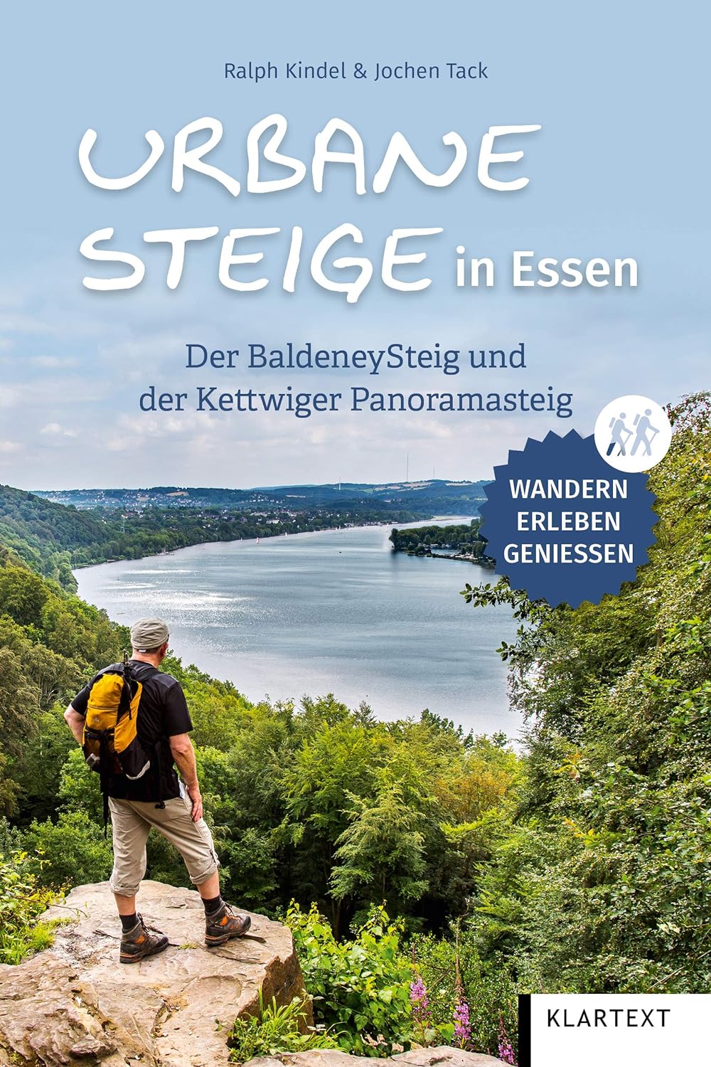
Opruiming - Wandelgids Urbane Steige in Essen | Klartext

opruiming = oude druk

Seit jeher gehören die Ufer- und Höhenwege am Baldeneysee und an der Ruhr zu den beliebtesten Zielen für Wanderer in Essen. Durch den BaldeneySteig wurden nun erstmals die attraktivsten Wege miteinander verbunden. Im großen Bogen führt dieser Rundwanderweg um den See herum und bietet auf knapp 27 Kilometern und 600 Höhenmetern alles, was das Wandererherz begehrt: naturnahe, teils anspruchsvolle Wege, reizvolle Landschaften, schöne Ausblicke und eine durchgehende, präzise Beschilderung. Der Kettwiger Panoramasteig folgt einem ähnlichen Prinzip. Auf 34 Kilometern geht es durch die historisch bedeutenden Stadtteile Werden und Kettwig mit ihrer grünen Umgebung, zahlreiche Aussichtspunkte auf die Landschaft des Ruhrtals säumen den Weg. Beide Steige lassen sich gut miteinander kombinieren.Der Wanderführer stellt die beiden Rundwanderwege detailliert vor, bietet Hintergrundinformationen zu historischen Orten und Sehenswürdigkeiten am Wegesrand. Zudem gibt es praktische Tipps zu Einkehr- und Übernachtungsmöglichkeiten. Beeindruckende Panoramafotografien ergänzen den Band und liefern einen Vorgeschmack auf das abwechslungsreiche Wandererlebnis im Essener Süden.

€ 10.95
Wandelkaart 10.60 Kythera, Antikythera | Anavasi

Compatible card printed on lightweight, waterproof and tear-resistant plastic paper.


Kythera is a unique island in many ways. First of all, she has an interesting body shape. It is a vast plateau bordered by hills cut by deep gorges, some dry and majestic, others filled with water, ending in beaches of exceptional beauty.


Explore this unique terrain and traditional villages of Kythira along the ancient trails depicted on the map. Through this landscape, the history of the island takes shape: from mythology to the present day, it has dotted the island with numerous monuments.


Antikythera, due to its geographical position, has always been a springboard between the Peloponnese and Crete, both for sailors and for migratory birds. In modern times, the name has become famous due to the shipwreck and the unique finds.

Otherwise, it is a destination of absolute tranquility and abstraction.

€ 13.00
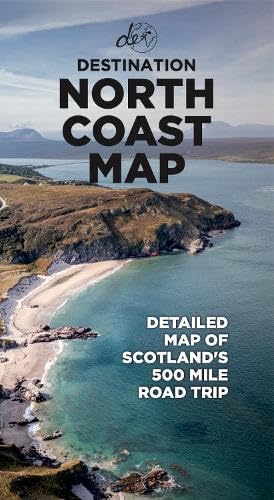
Wegenkaart - landkaart North Coast Road Trip Map | Destination Earth

This North Coast road trip map is the essential tool that will guide you through the breathtaking landscapes, stunning coastal views, and enchanting villages of the North Coast 500 in Scotland. Designed by travel enthusiasts, for travel enthusiasts, our map is more than just a navigation tool. It's a gateway to adventure, a treasure trove of hidden gems, and a companion that will make your journey even more extraordinary. Featuring a detailed and easy-to-read layout, this Destination NC500 Map will assist you in planning and navigating your way along the 500-mile route. With precise mile markers, highlighted attractions, and recommended stopping points, this map will ensure you don't miss a single sight along the way.


NC500 A1 Map Features:


Exact Locations: All of the exact locations of over 110+ Sights and Attractions, as well as Accommodation, Restaurants, Campervan Water and Waste Facilities, Electric Vehicle Charging Points, Train Stations, Airports, and much more!

Must-know Details: Directions to over 110+ sights and attractions across the northern coast of Scotland. Know exactly how to reach each of Scotland’s ost beautiful attractions.

Simple Design and Informative Layout: Plan your trip with this large and portable A1 folded map, containing all of the information that you need to know about the NC500 road trip.

Produced with care: During the production of this map, the authors spent years living on the NC500 route, turning over every rock and leaf to ensure that all the best-hidden sights and attractions that the NC500 has to offer are included.

FREE Electronic Version: Scan the QR code inside for the FREE electronic version of the map, making navigation easy and stress-free.

Perfectly Paired with Destination NC500: Pair this detailed map with the Destination NC500 guidebook to make your North Coast 500 journey as easy as it can be.


Main Features

● Large A1 size folded down to a pocket-size for ease of use

● Campervan water and waste facility locations

● Electric Vehicle Charging Points and exact locations

● 110+ of the best sights and attractions

● Exact directions to each location

● Restaurants and cafes around the route

● Accommodation locations - Hotels, B&Bs, Campsites

€ 18.95
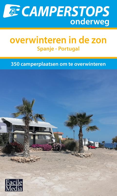
Campergids Camperstops onderweg - Overwinteren in de zon | Facile Media B.V.

Selectie van camperplaatsen om te overwinteren in Spanje en Portugal!

Deze handzame campergids is de perfecte reisgenoot voor wanneer je de wintermaanden wil doorbrengen in Spanje en Portugal! Alle camperplaatsen in deze campergids worden getoond incl. meerdere foto's, adres, GPS-coördinaten, tarieven, openingstijden, geboden servicefaciliteiten & praktische informatie m.b.t. de omgeving. Als extra toevoeging in deze gids wordt van iedere camperplaats het klimaat getoond. Van de maanden oktober t/m maart zie je in een oogopslag de maximum en minimum temperatuur, het gemiddeld aantal droge dagen en het gemiddeld aantal zonuren per dag. Ook wordt er bij iedere camperplaats aangegeven of je de mogelijkheid hebt om te reserveren. Zo maak je altijd de juiste keuze om optimaal te genieten tijdens je camperreis in de winter.


In navolging op de zeer succesvolle en populaire reeks van Camperstops onderweg, verschijnt er nu een geheel nieuwe editie in deze reeks. Voor alle camperaars die in de wintermaanden nog optimaal willen genieten van de zon in het zuiden verschijnt de campergids "Camperstops onderweg - Overwinteren in de zon". Deze praktische campergids is speciaal samengesteld voor camperaars die naar het zonnige Spanje en/of Portugal reizen, om daar de wintermaanden door te brengen. Door het ruime aanbod van camperplaatsen in deze uitgave, is het vinden van een geschikte camperplaats om te overwinteren zo gevonden. 


Als extra toevoeging in deze gids wordt van iedere camperplaats het klimaat getoond. Van de maanden oktober t/m maart zie je in een oogopslag de maximum en minimum temperatuur, het gemiddeld aantal droge dagen en het gemiddeld aantal zonuren per dag. Ook wordt er bij iedere camperplaats aangegeven of je de mogelijkheid hebt om te reserveren. 


Alle camperplaatsen in deze campergids worden o.a. getoond incl. meerdere foto's, adres, GPS-coördinaten, tarieven, openingstijden, geboden servicefaciliteiten & praktische informatie m.b.t. de omgeving.


€ 10.90
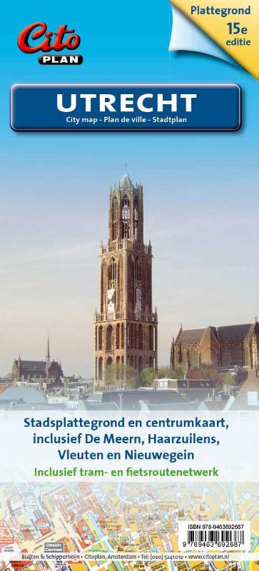
Stadsplattegrond Citoplan Utrecht | Buijten & Schipperheijn

– praktisch voor wandelaar, fietser en automobilist

– overzichtskaartje van de regio met hoofdverkeersstructuur, afrit- en wijknaamgeving

– vergrote centrumkaart van Utrecht 1 : 10.000

– alle straatnamen, belangrijke en toeristische bestemmingen

– betrouwbaar en duidelijk leesbaar kaartbeeld

€ 23.95
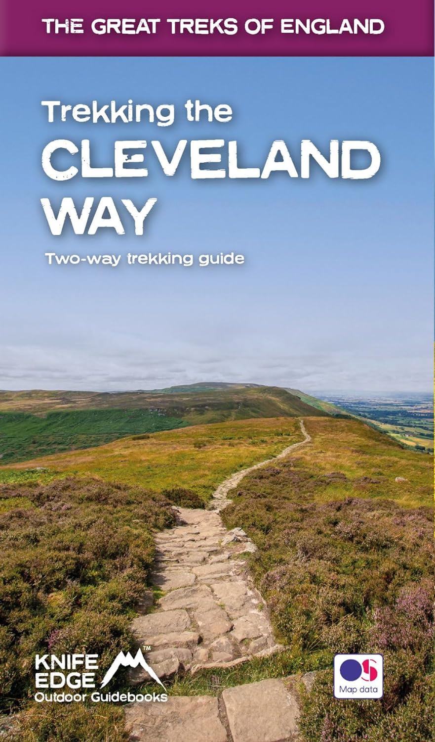
Wandelgids Trekking the Cleveland Way | Knife Edge Outdoor

The definitive two-way guide to the Cleveland Way, one of England's epic National Trails: both eastbound and westbound routes are described in full.


Real Maps: Full Ordnance Survey mapping inside (1:25,000). All accommodation is numbered and marked on the maps.

20 different itineraries: schedules of 5, 6, 7, 8, 9, 10 and 11 days for hikers and runners. Includes both eastbound and westbound itineraries. Difficult calculations of time, distance and altitude gain/loss are done for you.


Also includes:

- Detailed information on equipment and travelling light

- Full accommodation listings: the best pubs, B&Bs and hotels

- Detailed section on camping, including wild camping

- Everything the trekker needs to know: route, costs, difficulty, weather, travel, and more

- Essential info for both self-guided and guided trekkers

- Information on plants and wildlife

- Numbered waypoints linking the Real Maps to our clear descriptions


Yorkshire's Cleveland Way is one of the most beautiful long-distance walking routes in Britain. It is one of England's official 'National Trails'.


The route circumnavigates the spectacular North York Moors National Park. It explores both the evocative expanses of Yorkshire's famous heather moorland and the never-ending cliffs of its coastline. This is England at its best and it will be an adventure that you will never forget.

Abonneer op