€ 5.95
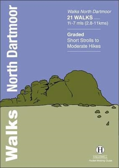
Wandelgids North Dartmoor | Hallewell Publications

Rewalked and updated in 2020, Walks North Dartmoor features walks in and around the northern half of the Dartmoor National Park - an area famous for its rolling moorland, ponies and dramatic tors (weathered granite outcrops rising from the moorland). This guide covers the area between the town of Okehampton, in the north, and an east-west line just north of Tavistock. (For the southern half of the area, see Walks South Dartmoor.) The 21 walks in the guide range from 1.75 to 7 miles (2.8 11km). There are some fine low-level and woodland walks (notably the walk by the River Teign to Castle Drogo), but the bulk of the routes lead onto the moor, passing splendid features such as Hound Tor and Haytor Rocks. Walks North Dartmoor is part of a popular series of A6 pocket walking guides which describe routes which are suitable for walkers of all abilities and to suit all tastes. Route descriptions are accompanied by 2-colour sketch maps. The guides are illustrated with line illustrations, and will provide walkers with a good introduction to what each area covered has to offer.


€ 5.95
Wandelgids Hawes and Wensleydale | Hallewell Publications

Rewalked and updated in 2016, Walks Hawes & Wensleydale covers the Northern part of the Yorkshire Dales National Park - an area of rolling green hills, dramatic limestone features and quaint villages. The guide features walks in Wensleydale, which includes the popular towns of Hawes and Leyburn. Although there are no high peaks in the area, there are some fine hill walks, as well as paths passing the area's numerous waterfalls. The 21 walks featured range from 1 mile to 11 miles (1.5-18km). Routes include: Aysgill Force, Hardraw Force & Sedbusk, Semer Water, Aysgarth to Castle Bolton and Leyburn Shawl. The guide is part of a popular series of A6 pocket walking guides which describe routes which are suitable for walkers of all abilities and to suit all tastes. Route descriptions are accompanied by 2-colour sketch maps. The guides are illustrated with line illustrations, and will provide walkers with a good introduction to what each area covered has to offer.


€ 5.95
Wandelgids Angus | Hallewell Publications

This guide covers the old county of Angus: from the cliffs and beaches of the coast, through the wide farmland of Strathmore to the fine hill paths of the Angus Glens. Walks range from 0.5 miles to 14 miles (1-22.5km). Routes include: Glen Clova to Glen Muick, Glen Esk to Glen Tanar, Montrose Basin and Arbroath Cliffs.

€ 5.95
Wandelgids Walks Fort William and District | Hallewell Publications

Including Glencoe and the lower Great Glen, this guide covers the mountainous district of central Lochaber, including Britain’s highest peak – Ben Nevis – and the dramatic scenery around Glen Coe, as well as gentler routes around the southern end of the Caledonian Canal.  Walks range from 1 mile to 15.5 miles (1.5-25km).  Routes include: Loch Oich Circular, Ben Nevis, Glenfinnan and Glen Coe to Glen Etive.


€ 27.50
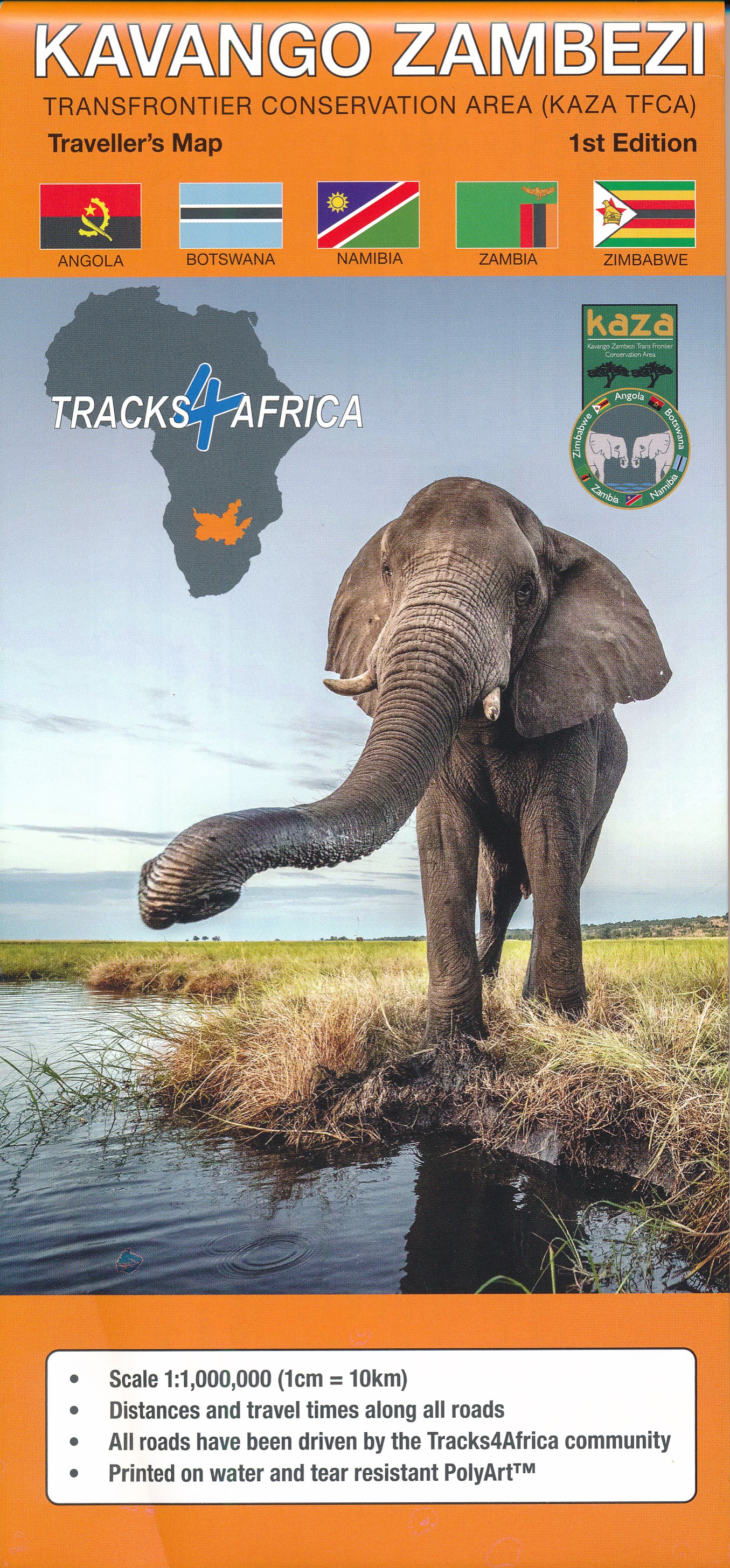
Wegenkaart - landkaart Kavango (Okavango) - Zambezi | Tracks4Africa


Uitstekende wegenkaart van het gebied van de Okavango en Zambesi en ver daar buiten (zie uitsnede van kaart) , gemaakt door gerenommeerde kaartenmaker Track4Africa in Afrika. Met afstanden en reistijden tussen steden en op alle wegen vermeld. GPS via hun website te downloaden. De kaart wordt door vrijwel elke reisorganisatie geadviseerd als je met een eigen auto er rond gaat rijden.


Deze kaart is ontworpen op je te helpen het gebied van de Okavango en Zambesi  in volle vertrouwen te verkennen. Of je nu op asfalt-, of grindwegen, of een combinatie van de twee reist, deze kaart is zowel een navigatie-instrument, als een hulpmiddel om je trip te plannen.


Tracks4Africa, een bedrijf gevestigd in Zuid-Afrika is gekend voor zijn kaarten met GPS verwijzingen. Van Kaapstad tot Timboektoe worden deze kaarten gewaardeerd omwille van hun betrouwbaarheid. De gegevens op de kaart zijn opgetekend door een grote groep van reizigers over het land en hierdoor ontstaat er een continue update en verificatie. Tracks4Africa staat dan ook voor een kwaliteitsvolle cartografie.

Deze kaarten hebben een grote schaal van 1: 1.000.000. Kenmerkend voor deze kaarten is de combinatie van geografische informatie en GPS verwijzingen, ideaal voor 4WD routes. Verder bevat elke kaart een plaatsnamenregister, aparte kaartjes van de Nationale parken en stadsplannen van de belangrijkste steden uit de regio.

Deze kaarten bieden u het perfecte instrument om uw volgende reis naar Zuidelijk Afrika te plannen. U weet perfect de reistijd en afstand over het gehele wegennet, zij het op asfalt, grind of zand. Verder staat er gedetailleerde informatie vermeld over toeristische bestemmingen en bezienswaardigheden. U kunt zo ook gemakkelijk vouwen zodat u enkel het gebied ziet dat u nodig heeft.


De belangrijkste kenmerken zijn:

Grote schaal 1/1.000.000

Reistijden afstanden zijn opgenomen op de kaart

Uitgebreid net van wegen en paden in de natuurreservaten

Gedetailleerde informatie over campings en attracties

Grensovergangen aangegeven met openings- en sluitingstijden

Bij elke stad staan de recente toeristische diensten vermeld

Gedrukt op waterproof papierUitgever: Do you also like your good old fashioned paper maps when travelling through Africa? Tracks4Africa is well known for its GPS maps, but we know that you like to have a paper map as well.


These maps are huge, 1m wide and even longer than that at a scale of 1:1 000 000. They are cleverly engineered to be used inside your car by folding open only the sections you need.


Our maps are the first maps to provide travel times over and above the normal travel distances on paper maps.


The Tracks4Africa paper maps are printed on high quality PolyArt paper which is tear and water resistant, making it a perfect material for outdoor use.

€ 25.99
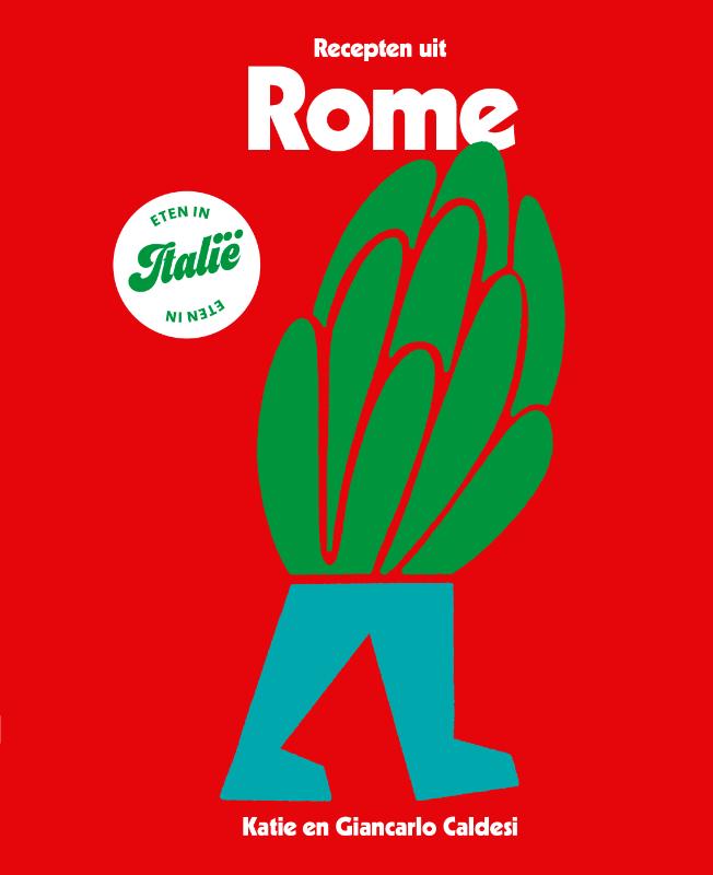
Kookboek - Reisgids Eten in Italië - Recepten uit Rome | Kosmos Uitgevers

Eten in ... is de nieuwe reis- & kookserie van Kosmos Uitgevers over de wereldberoemde Italiaanse keuken, met Recepten uit Rome als eerste deel: een culinaire ontdekking van een van ’s werelds meest geliefde steden. Van klassieke recepten die al generaties in de trattoria's prijken tot aan nieuwe, spannende recepten van de beste Romeinse chefs van het moment. Eten in Italie – Recepten uit Rome is een prachtige souvenir en heerlijke ode aan la cucina Italiana.

Abonneer op