€ 19.50
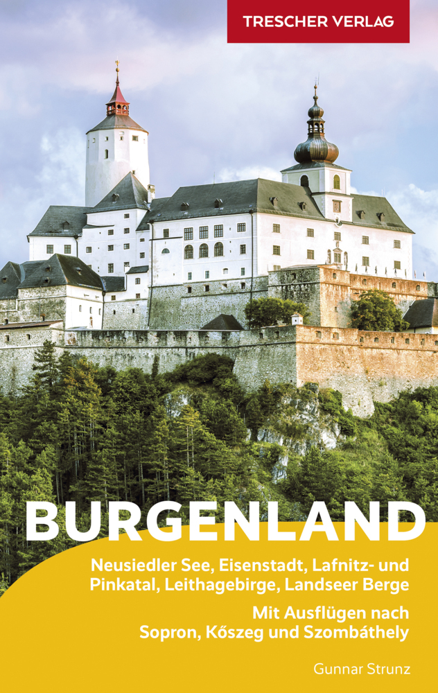
300 Sonnentage im Jahr zählt das Burgenland. Vom Neusiedler See bis zur südlichen Weinidylle vereint es eine Fülle an Baudenkmälern und Naturschönheiten. Kunst und Kulinarik, ein riesiges Rad- und Wanderwegenetz, Wellness und Wassersport sorgen für einen geruhsamen Mix aus Kultur-, Natur- und Aktivurlaub. Weithin bekannt sind die Burgen und Schlösser im Land, darunter imposant Burg Forchtenstein oder prunkvoll Schloss Esterházy. Der Reiseführer BURGENLAND aus dem Trescher Verlag beschreibt alle Sehenswürdigkeiten: malerische Städtchen und Dörfer wie Rust mit seinen Arkadenhöfen oder Mörbisch am See, berühmt für seine pittoresken Hofgassen. Wassersportler und Wellnesstouristen locken die zahlreichen See- und Thermalbäder. Im traditionsreichen Weinland dürfen die schönsten Kellergassen und besten Gastro-Empfehlungen der pannonischen Küche natürlich nicht fehlen. Ausflüge führen ins Nachbarland Ungarn. Mit seiner Fülle reisepraktischer Tipps ist dieser Reiseführer der einzige seiner Art. Aktiv- und Genussurlauber, Natur- und Kulturreisende finden darin gleichermaßen einen verlässlichen Reisebegleiter. >>> Weitere Reiseführer zu Österreich finden Sie auf der Website des Trescher Verlags
€ 15.50
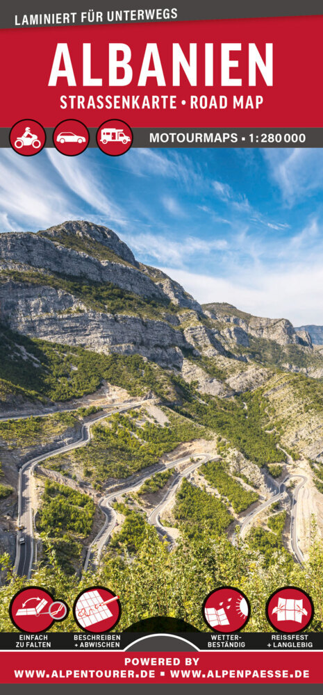
Die laminierte MoTourMaps Albanien Auto- und Motorradkarte im Reliefstil deckt im besonders tourentauglichen Maßstab 1:280.000 das Land Albanien vollständig ab. Die Kartenlegende ist in deutscher, englischer sowie niederländischer Sprache ausgeführt. Das gesamte Straßensystem ist deutlich erkennbar. MoTourMaps sind beidseitig laminierte Auto- und Motorradkarten mit einem neuartigen Faltsystem. Durch klare Trennung der einzelnen Kartenteile verschwinden Informationen nicht mehr in der Falz. Sie sind zudem beschreibbar und abwaschbar, äußerst reißfest und haltbar und für jede Witterung geeignet. Die Karten sind gut lesbar und bieten alle wesentlichen Informationen wie: Aktuelles Straßennetz, Straßennummerierung, Entfernungen in Kilometern, Nationalparks, Reliefkarte, Ortsregister. LAMINIERTE STRASSENKARTEN ZU BELIEBTEN REISEREGIONEN IN EUROPA – VON MOTOURMEDIA ▶ Aktuelles Kartenmaterial ▶ Beidseitig laminiert zum Schutz ▶ Patentiertes Falzsystem ▶ Beschreibbar und abwaschbar ▶ Wetterbeständig und reißfest
€ 13.95
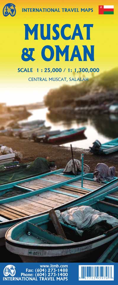
The very name Muscat and Oman entices one! The peninsula at the access point to the Persian/Arabian Gulf sounds very exotic – and it is! This double-sided map focuses on the city and region of Muscat on side one at a detailed scale, noting the Grand Mosque, the Mutrah Souk, and the Royal Opera House as well as showing hotels, shopping areas, and other sites of touristic interest. Muscat used to be a British protectorate, but is now part of Oman, albeit physically separated from it by a portion of the UAE. The country fills side 2. Oman is portrayed as a north-south alignment, as it is long and not particularly wide, and nicely fills the sheet, with an inset of Salalah, close to the Yemeni border. Connections to nearby Abu Dhabi and Dubai are also shown. Oman is a haven of peaceful co-existence, and tourists are welcome, so this map is designed to encourage visitors
€ 13.50
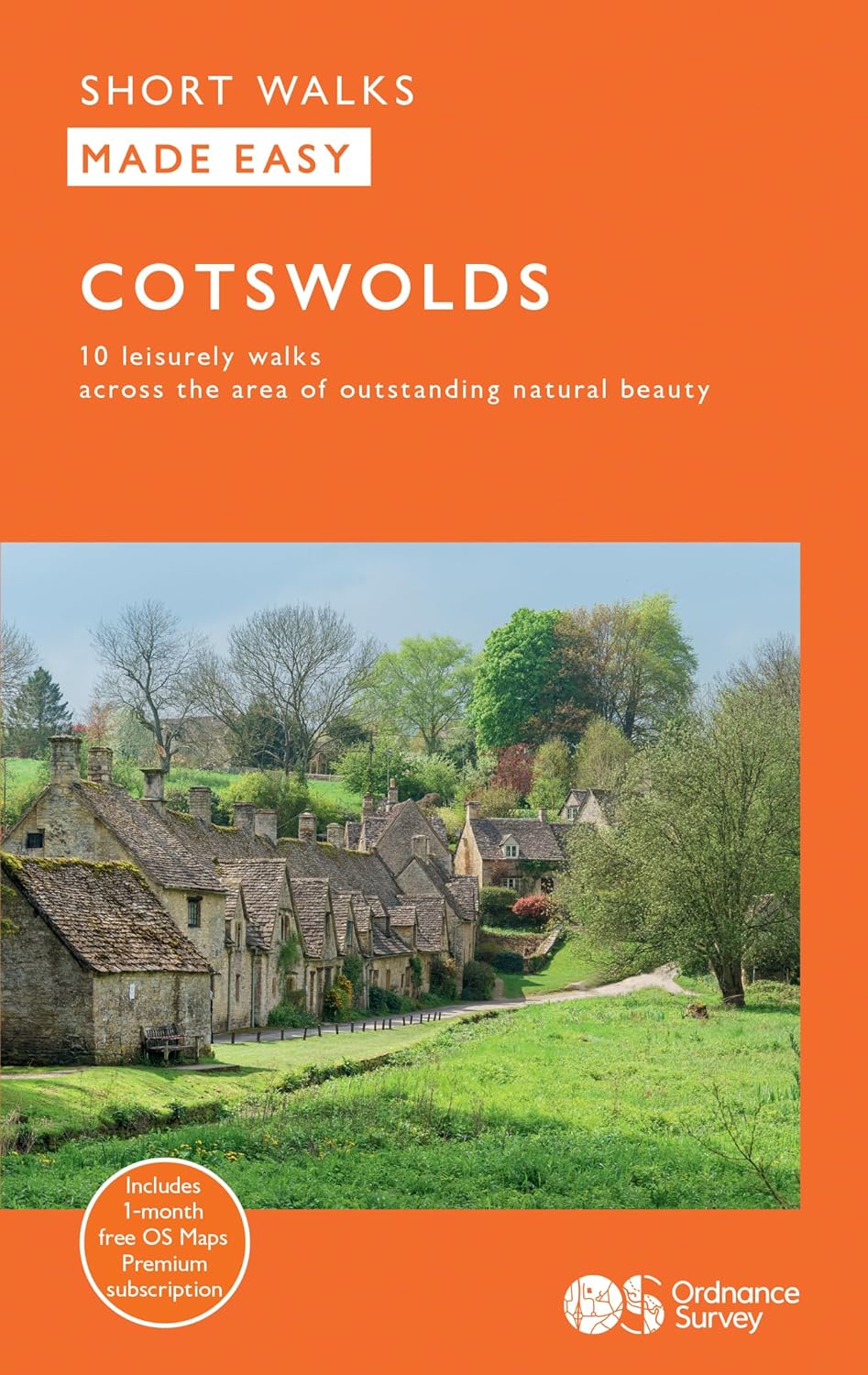
Explore ten easy-paced, family-friendly short walks across the Cotswolds Area of Outstanding Natural Beauty. Originating from a Saxon term meaning ‘wooded hollows, amid gentle hills’, the AONB straddles six counties, and is best known for its honey-coloured stone cottages, lush rolling hills, and deeply-cut wooded valleys. Walks explore quieter corners of the region, covering fine gardens, rivers, parkland, and charming villages.
What to expect from Cotswolds Short Walks Made Easy:
• For quintessential Cotswold views, follow the trail from Broadway, escaping the crowds up a gently sloping hill to a sleepy hamlet and tempting tearooms
• Take a stroll down the magnificent Broad Ride in Cirencester Park, briefly enjoying the beautiful Roman town of Cirencester
• Have your camera ready to snap the country’s most photographed cottages at Arlington Row, whilst on an outing from Bibury
• Admiring formal gardens at the stately homes of Sudeley Castle and Blenheim Palace, you can relax in the Arts and Crafts-inspired planting at Hidcote
• The beautifully wooded valley of Woodchester Park and the ancient deer parkland at Cornbury offer away-from-it-all rambles
• Don’t miss the waterside wildlife-spotting opportunities along the Thames and Severn canal from Chalford
OS Short Walks Made Easy:
• 10 accessible walks suitable for the whole family – no walking experience needed!
• All routes are between 1½ to 4½ miles and can be completed all year round
• Know what to expect before you go: Information on locations of cafes/pubs and toilets, terrain, hilliness and accessibility for pushchairs and wheelchairs
• Large-scale Ordnance Survey maps for ultra-easy navigation and route-finding, featuring intuitive pictorial symbols
• Numbered points and route photographs which tie maps to route descriptions and walk profiles
• Enhance your adventure with stories behind each walk and nature notes
• Get active outside and enjoy the physical and mental health benefits
€ 13.50
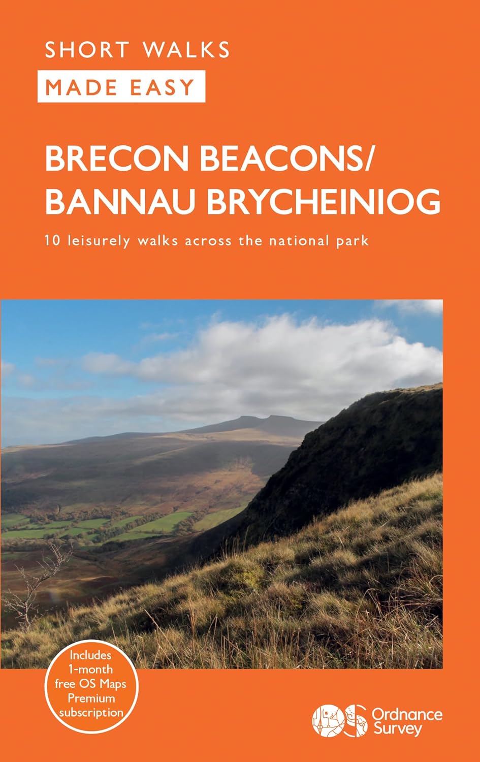
Get outside and enjoy ten short leisurely strolls across the Brecon Beacons National Park, indulging in wonderful mountain views across Southern Britain’s hilliest terrain. With routes for all abilities, enjoy a diverse range of experiences, including waterfalls, woodlands, riversides and even 12th century castle ruins.
Brecon Beacons Short Walks Made Easy routes include:
• Discover great mountain views from relatively level ground with routes at Mynydd Illtud and Craig y Cilau
• Or for a more strenuous walk, the ascent of Sugar Loaf will reward your uphill efforts with stupendous views across the national park
• Enjoy the thunderous sounds of the spectacular cascading waterfalls of Sgŵd Clun-gwyn and Sgŵd yr Eira, some of Wales most impressive!
• Delve into the Usk Valley for soothing riverside rambles from Brecon and Abergavenny, blessed with stunning views southwards towards the park’s highest peaks
• Spot an abundance of wildlife from the towpath along the Monmouthshire and Brecon Canal, where you will have the chance to see a working lock at the start
• Combine a fine stroll and bookshop browsing from the vibrant riverside town of Hay-on-Wye to the tranquillity of the Warren – a colourful riverside meadow
• For history lovers, explore the 17th century Newton House and 12th century castle via a magical stroll through Dinefwr Park, as well as castle ruins along a walk from Abergavenny
OS Short Walks Made Easy:
• 10 accessible walks suitable for the whole family – no walking experience needed!
• All routes are between 1 to 5 miles and can be completed all year round
• Know what to expect before you go: Information on locations of cafes/pubs and toilets, terrain, hilliness and accessibility for pushchairs and wheelchairs
• Large-scale simplified Ordnance Survey mapping for ultra-easy navigation and route-finding, featuring intuitive pictorial symbols
• Numbered points and route photographs which tie maps to route descriptions and walk profiles
• Enhance your adventure with stories behind each walk and nature notes
• Get active outside and enjoy the physical and mental health benefits
€ 17.50
Im gebirgigen Südwesten Deutschlands bringt Sie der Heidelberg-Schwarzwald-Bodensee-Radweg auf einer Strecke von gut 300 Kilometern quer durch Baden-Württemberg. Die bestens beschilderte und steigungsreiche Route führt durch ruhige, oft ländlich geprägte Regionen, vorbei an mittelalterlichen Fachwerkstädtchen und trutzigen Festungsanlagen, beeindruckenden Naturschauspielen und zahlreichen kulturhistorischen Schätzen. Sie starten in der alten Universitätsstadt Heidelberg. Durch die hügelige Landschaft des Kraichgaus gelangen Sie in die "Goldstadt" Pforzheim. Auf dem ausgedehnten Abschnitt im östlichen Schwarzwald radeln Sie durch beschauliche Flussauen, über aussichtsreiche Höhen und durch schattige Täler. Gegen Ende der Radreise durchstreifen Sie den burgenreichen Hegau mit seinen faszinierenden Vulkankegeln und erreichen am Alpenvorland nach herrlichen Abfahrten den größten See Deutschlands, den Bodensee.
€ 14.50
The Hohe Mark Steig leads over a length of about 160 kilometres through the natural park of the same name and usually crosses the northeastern Lower Rhine, the northern Ruhr area and the southern Münsterland far away from noise and stress. The landscape could hardly be more varied: starting from Wesel on the Rhine, you can hike through various forest areas such as the Diersfordt Forest with its wild gate, the twilight forest with its wilderness development area or the Haard with its numerous elevations and wonderful distant views. In addition, you can roam through unique wet and moor areas such as the Great Veen, the Black Water or the Brinksknapp and reach the banks of charming waters such as the Halterner reservoir or the so-called Dattelner Sea. The meanders of Lippe or Stever radiate a very special calm. In addition to the enchanting nature, also interesting cities such as Wesel, Haltern on the lake or Olfen invite you to explore with their sights.
Der Hohe Mark Steig führt auf einer Länge von etwa 160 Kilometern durch den gleichnamigen Naturpark und durchquert dabei meist fernab von Lärm und Stress den nordöstlichen Niederrhein, das nördliche Ruhrgebiet und das südliche Münsterland.Die Landschaft könnte dabei kaum abwechslungsreicher sein: Ausgehend von Wesel am Rhein wandern Sie durch verschiedene Waldgebiete wie den Diersfordter Wald mit seinem Wildgatter, den Dämmerwald mit seinem Wildnisentwicklungsgebiet oder die Haard mit ihren zahlreichen Erhebungen und wunderbaren Fernsichten. Daneben streifen Sie durch einzigartige Feucht- und Moorgebiete wie das Große Veen, das Schwarze Wasser oder den Brinksknapp und gelangen immer wieder an die Ufer von reizvollen Gewässern wie dem Halterner Stausee oder dem sogenannten Dattelner Meer. Eine ganz besondere Ruhe strahlen die Mäander von Lippe oder Stever aus. Neben der bezaubernden Natur laden auch sehenswerte Städte wie Wesel, Haltern am See oder Olfen mit ihren Sehenswürdigkeiten zu einer Erkundung ein.


