€ 14.50
Wegenkaart - landkaart Grossbritannien, Irland - Groot Britannie, Ierland | Hallwag

Prima kaart van heel Groot Brittannie en Ierland , dubbelzijdig bedrukt met plaatsnamen index. 

Road map Great Britain / Ireland Road map with transit plans, location index, tourist information and places of interest.Up-to-date information, clear presentation, easy handling: the hallmark of Hallwag road maps. The international programme with new ideas for better travel offers you convincing advantages.

€ 11.95
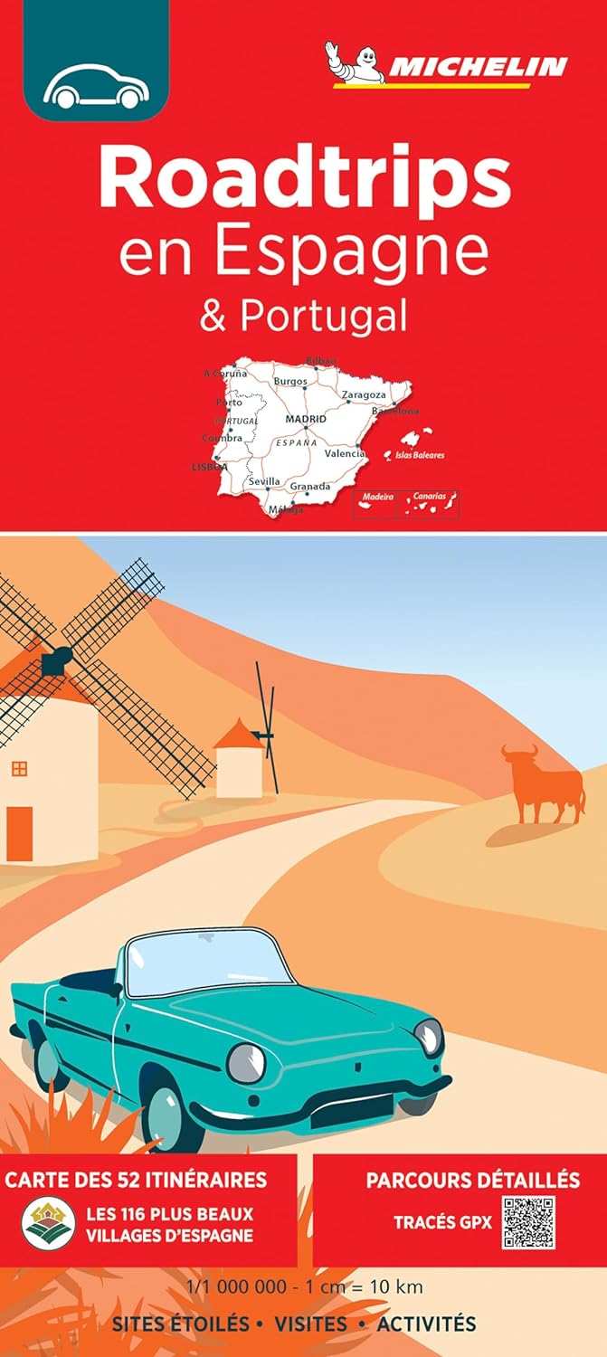
Camperkaart 680 Spanje & Portugal roadtrips - Espagne & Portugal | Michelin


Nieuwe ROADTRIPS IN SPANJE kaart, om Spanje en zijn erfgoed (opnieuw) te ontdekken.


Schaal: 1/1 000 000 (1cm = 10km)


Formaat: 11.2 x 3.1 x 25 cm


Ontdek aan de voorkant:


52 route suggesties van 164 tot 677 km; van 3 tot 16 dagen.


De mooiste dorpen van Spanje.


Ontdek aan de achterkant:


Het detail van elke route


Onze selectie van met sterren beoordeelde locaties (*, ** of ***)


Onze favorieten


Een selectie van unieke ervaringen


Extra: GPX-tracks om te downloaden.


Met de MICHELIN kaart vind je veel meer dan alleen je weg!

€ 29.95
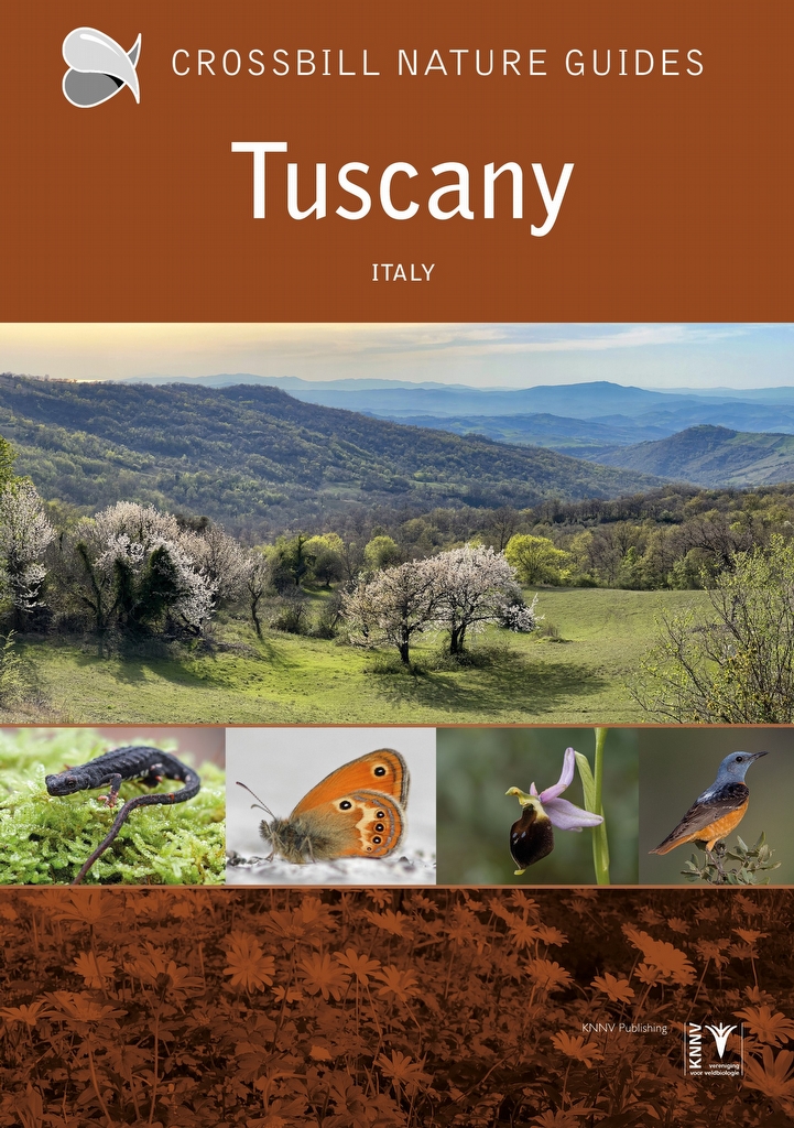
Natuurgids - Reisgids Crossbill Guides Tuscany - Toscane | KNNV Uitgeverij

Crossbill Guide Tuscany is de ideale natuurreisgids voor vogelaars, wandel- en natuurliefhebbers. Een gloednieuwe bestemming en een gloednieuw land in de Engelstalige serie Crossbill Guides: Toscane, Italië. Schrijver, vogelaar, natuurliefhebber en natuurbeschermer Graham Chisholm laat je de wilde kant zien van deze beroemde regio van Italië.


Deze gids beschrijft de hele regio van Toscane, van de Apuaanse Alpen in het noorden en Apennijnen in het oosten tot de prachtige Toscaanse Archipel in de Middellandse Zee. Het boek omvat 280 pagina's met informatie over de Toscaanse natuur en het landschap, plus de meest veelbelovende 23 routes en 16 locaties om vogels, vlinders, orchideeën en andere bijzonderheden te vinden.


This Crossbill Guide Tuscany (Toscana) covers the famous Italian region of Tuscany including the Tuscan Islands. The book covers the wildlife side of the famous regions of Siena, Florence, San Gimignano and Pisa as well as less known sites that are great for wildlife – places like the Orbetello lagoons and the botanically rich peninsula of Monte Argentario and the Maremma Regional Nature Park, but also the Apuan Alps and the Tuscan part of the Apennine Mountains.


The Crossbill Guide Tuscany is a thorough and practical guide for birdwatchers, naturalists and nature lovers. It offers background information, routes and site descriptions, plus tips on finding and watching all kinds of wildlife. Each route offers detailed descriptions of where to find wildlife and wildflowers. The book offers a mix of walking routes and car itineraries with stops and short walks. Although some are challenging, all the walks in this book are designed to explore the landscape and find birds and wildlife rather than simply covering ground.


This nature travel guidebook to the Tuscany contains routes and background info on landscape, flora and fauna.


Landscape history

Ecosystems

Geology

Flora and Fauna

Where to watch birds

Finding mammals, reptiles, butterflies, dragonflies and wildflowers

23 detailed routes with tips for finding wildlife and 16 site descriptions

€ 16.95
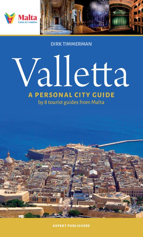
Reisgids Valletta | Aspekt

Manoel de Vilhena is renowned as the Grand Master who gave Valletta one of its architectural treasures – the Manoel Theatre. Not so widely known is the fact that in putting up this statue on the corner where East Street meets Archbishop Street, he was also giving Valletta its flag. This statue of a lion holding De Vilhena coat of arms resulted in Valletta adopting the lion symbol on its flag. Valletta started off as Humilissima Civitas Valletta—The Most Humble City of Valletta. Subsequent years saw the embellishment of the city with fortifications, palaces and other architectural gems, and these corner statutes and niches. A single lion does not make a pride, but the ruling houses of Europe would eventually move away from its humility to the pride of its nickname Superbissima – Most Proud!


€ 18.50
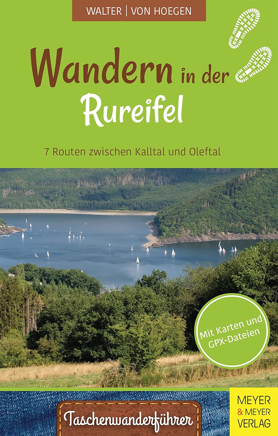
Wandelgids Wandern in der Rureifel | Meyer & Meyer Sport

Die Rureifel liegt zwischen dem Hohen Venn und der Kalkeifel. Ihr Untergrund besteht aus gefalteten Tonschiefern und Sandsteinen der Unterdevon- Zeit. Heute haben sich steile Kerbtäler der Kall, der Rur, der Urft und der Olef tief in ihre zwischen 400 Meter und 500 Meter hoch gelegene, fast ebene Hochfläche eingeschnitten. Die Hochfläche ist größtenteils waldfrei und wird überwiegend landwirtschaftlich genutzt. Hier liegen auch die meisten Dörfer. Die engen Kerbtäler begünstigten die Anlage zahlreicher Talsperren. Mit ihren Stauseeen und dem Nationalpark Eifel ist die Rureifel heute ein attraktives Wander- und Erholungsgebiet. Alle vorgeschlagenen Wanderungen sind Rundwanderungen. Die Routenbeschreibungen umfassen eine Routenkarte mit Wegweisern und Markern, die auf erdgeschichtlich, historisch oder aktuell interessante Orte hinweisen. Solche Hingucker werden im Textteil jeweils als Stopp durch ein Foto illustriert und beschrieben. Darüber hinausgehende Erläuterungen zu interessanten Einzelthemen sind in einem ausführlichen Anhang zu finden. Die Streckenverläufe der Wanderungen können einzeln mithilfe eines QRCodes als GPX-Datei heruntergeladen werden.


€ 22.50
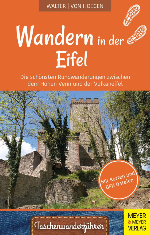
Wandelgids Wandern in der Eifel | Meyer & Meyer Sport

Die Eifel ist Teil des Rheinischen Mittelgebirges bis zur belgischen und luxemburgischen Grenze. Viele hundert Kilometer Wanderwege erschließen ihren Besuchern außergewöhnlich abwechslungsreiche Landschaften: großflächige Moore im Hohen Venn, tiefe Täler und Stauseen in der Rureifel, südländisch anmutende Kalktriften in der Kalkeifel und Vulkankegel und Maarseen in der Vulkaneifel. Für alle diese Landschaften gilt, dass sie in langen Zeiträumen entstanden sind. Ihre historische Gestaltung zur heutigen Kulturlandschaft vollzog sich in Jahrhunderten. Die Formung der heutigen Hochflächen, Hügel und Täler dauerte viele hunderttausend Jahre. Für die meisten Gesteine ihres Untergrundes liegt ihre Entstehungszeit um Millionen Jahre zurück. So ist die heutige Gestalt der Eifel untrennbar mit der Zeit ihrer Gesteinsbildung, der Zeit der Entstehung ihres Reliefs und der Zeit ihrer Menschen verbunden. Alle Wanderungen sind Rundwanderungen. Die Routenbeschreibungen umfassen eine Routenkarte mit Wegweisern und Markern, die auf erdgeschichtlich, historisch und aktuell besondere Orte unterwegs hinweisen. Solche "Hingucker" werden jeweils durch ein Foto dokumentiert und durch einen kurzen Text erläutert.

€ 18.50
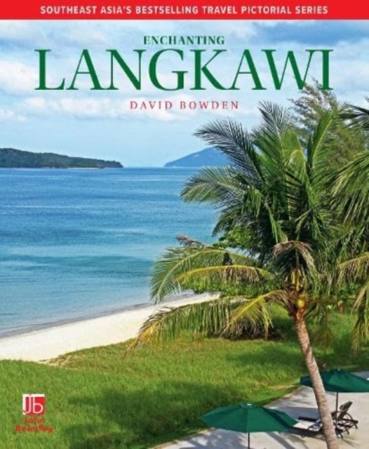
Reisgids Enchanting Langkawi | John Beaufoy

Langkawi is the premier island destination in Malaysia. This beautiful tropical archipelago surrounded by an azure sea has an unbeatable combination of sun, surf and sand as well as international beachfront resorts, iconic restaurants and easy access by flight from Kuala Lumpur and Penang. There are also hidden charms to be explored by taking a sunset cruise around the offshore islets or exploring the natural attractions on land. Langkawi wetlands are particularly scenic as steep limestone walls rise from the mangrove-lined mudflats. They are home to various species of mangrove and rare cycads. For slowing down the pace, there are the picturesque beaches of Pantai Cenang, Datai Bay with Pantai Tengah. For holidaymakers looking for more active pursuits, there is diving around the four small coral islands just south of Langkawi where there is also a large floating pontoon facility offering snorkelling for all the family. As well as other watersports, including parasailing and kayaking, there’s jungle trekking, mountain climbing, caving, fishing or taking an adventurous journey through the rainforest canopy all to be explored. This fully updated edition reveals all of the scenic wonders and adventure opportunities that make Langkawi so special, to provide both a guide to and a souvenir of a memorable holiday.


€ 27.50
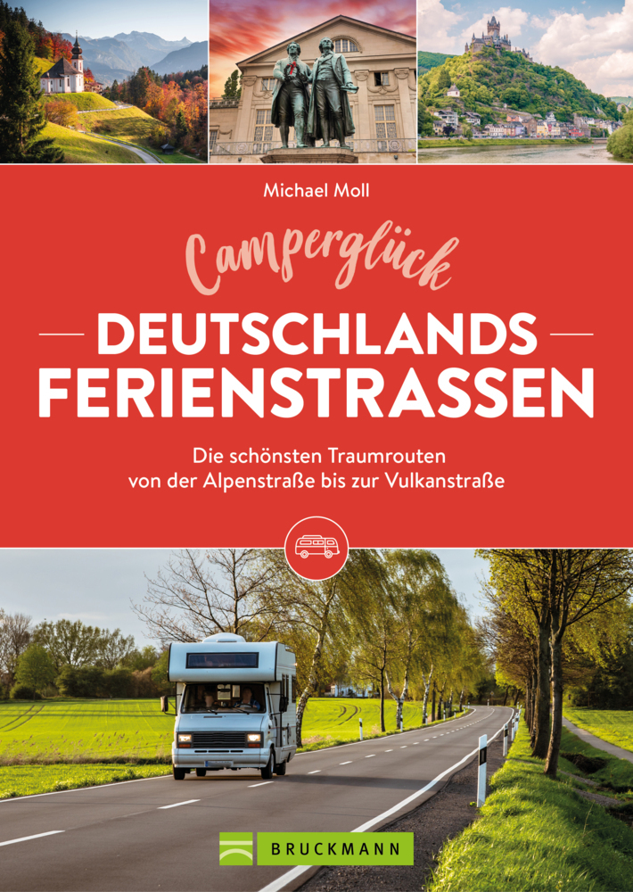
Campergids Camperglück Deutschlands Ferienstraßen | Bruckmann Verlag

Thementouren mit dem Wohnmobil

Touristische Ferienstraßen: Sie führen quer durch Deutschland oder zu reizvollen Zielen einer Region. Also: Thema wählen - und den Routen in diesem Camping Buch folgen.


Es gibt die Klassiker, die jeder kennt: etwa die Deutsche Alpenstraße, die Romantische Straße oder die Straße der Industriekultur. Doch haben Sie schon von der Deutschen Spielzeugstraße gehört? Oder von der Straße der Deutschen Sprache? Und überhaupt: Wo genau verlaufen alle diese Ferienstraßen und was gibt es entlang ihrer Routen zu sehen? Unser Camper Buch lotst Sie auf 14 Touren entlang deutscher Ferienstraßen kundig quer durch Deutschland.


Wohnmobil Tourguide: 14 Touren entlang deutscher FerienstraßenMit detaillierten Routenbeschreibungen für WohnmobilistenErgänzt um viele Tipps zu Übernachtung, Einkehr und Sightseeing vor Ort

€ 7.95
Wegenkaart - landkaart in your pocket Isle of Skye | Nicolson

The Isle of Skye In Your Pocket is our new essential map for visiting Skye. The front has exceptionally clear road mapping of the whole island showing main tourist attractions, EV charge points and full index to places & tourist attractions. The reverse has detailed town maps of Portree and Broadford at 1:14,000, useful travel information and glorious full colour photographs of some of the famous sights - you will want to visit them and many more. Don't leave home without it! 


Featuring: 


Exceptionally clear, fully indexed road mapping

Detailed town plans of Portree & Broadf ord

EV charging points and tourist attractions shown

Travel information and glorious full colour photographs

Abonneer op