€ 4.95
Stadsplattegrond Utrecht centrumkaart | Benjaminse Uitgeverij

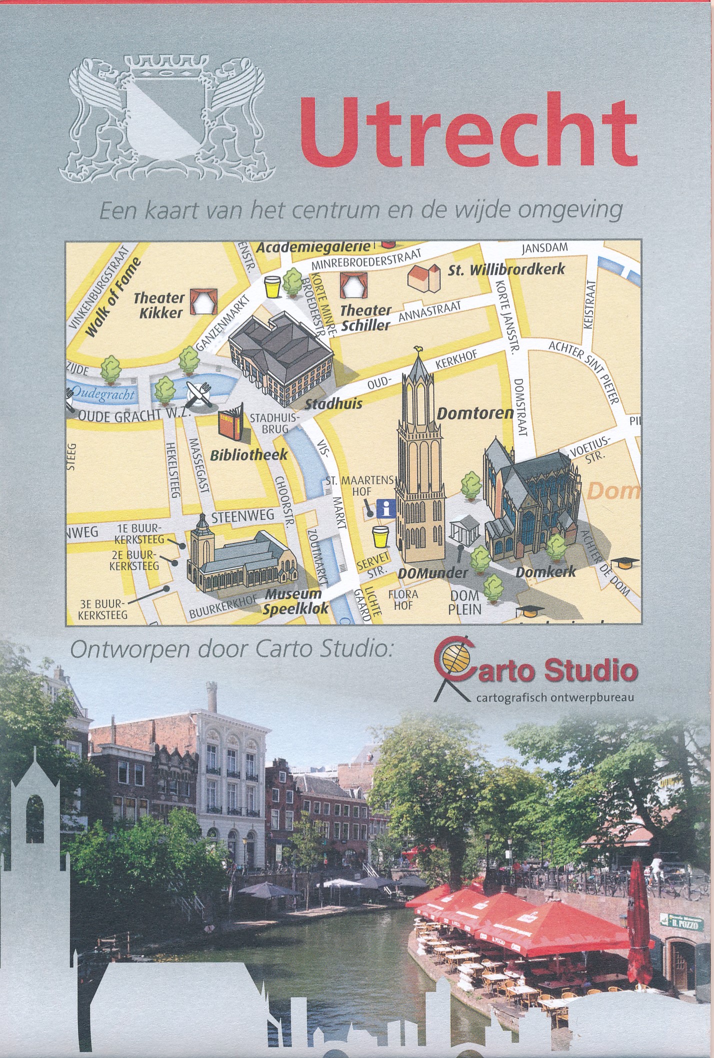
Mooie duideljke kaart van het grotere centrum van Utrecht. Op de andere kant een wat groter gebeid van de stad, de buitenwijken staan er niet op. Als centrumkaart voldoet deze plattegrond uitstekend. 

Wij hebben als makers er voor gekozen om een rustig ontwerp en daardoor inzichtelijk ontwerp te maken zonder toevoeging van reclame op de kaart. Wij zijn als ontwerpers twintig jaar geleden begonnen om de belangrijkste monumenten van de stad als 3-dimensionale gebouwtjes aan de kaart toe te voegen. De kaart is zeer gedetailleerd (schaal 1 : 7 500) en geeft alle straten met de namen weer. Het openbaar vervoer is in de kaart opgenomen, alsmede taxistandplaatsen, politiebureau’s, parkeergarages, etc.

€ 22.50
Vogelgids Birds of Ireland - Ierland | Gill Books

Written in association with BirdWatch Ireland, Ireland’s leading bird-conservation organisation, here Jim Wilson and Mark Carmody provide the definitive identification guide for birds in Ireland. You will discover everything you need to know to become a confident birdwatcher, whether you are looking at the most common species or in the presence of something more unusual.


Containing details of more than 260 species and over 1,600 photos, the key identification features of each bird are shown in detail not seen before in an identification guide to Ireland’s birds, with concise descriptions and pointers that will help you identify birds in an easy, quick-reference format. This beautiful new pocket-sized edition includes up-to-date distribution maps for all common species and an updated list of birds of conservation concern in Ireland.

€ 10.50
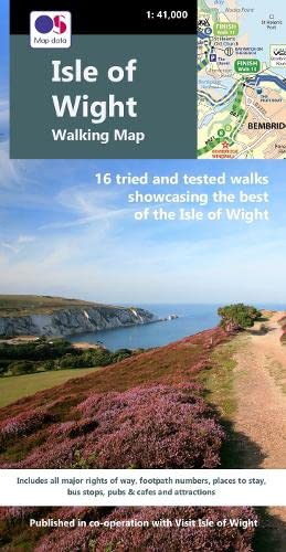
Wandelkaart Isle of Wight Walking Map | Heritage House

Produced in co-operation with Visit Isle of Wight using Ordnance Survey cartography under licence, this second edition of our double-sided walking map shows all the major rights of way across the Island together with 16 colour-coded long distance walks. Fully checked on foot by a local walker, and showing all the relevant footpath numbers, these include the popular coastal path broken into six manageable sections; Yar River Trail; Worsley Trail; Warrior Trail; Bembridge Trail; Hamstead Trail; Nunwell Trail; Stenbury Trail; Freshwater Way; Tennyson Trail; and the Shepherd’s Trail.


For each walk a choice of bus stops and car parks are shown at each end of the route as well as along the way, enabling walkers to plan their journeys. The Southern Vectis bus route map is also included together with a range of other useful information including pubs and cafes, viewpoints, ferry routes, visitor attractions and walker-friendly accommodation. 

€ 18.50
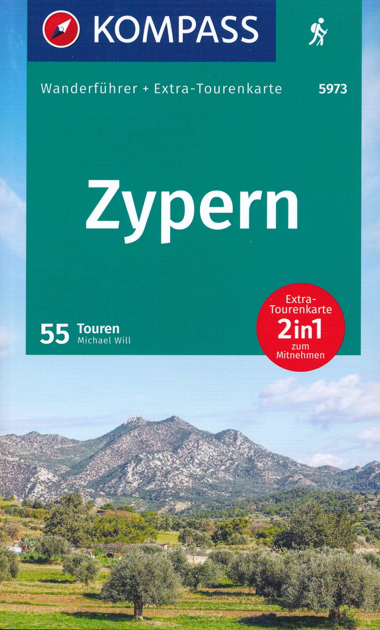
Wandelgids Wanderführer Zypern - Cyprus | Kompass

Wandelgids van Cyprus,. 55 wandelingen ingedeeld per gebied, en een handige vergelijkingstabel en uitgebreide index. Exacte beschrijvingen, mooie wandelkaarten en hoogteprofielen. Bevat veel achtergrondinformatie. Bijgevoegd is een extra 'tourenkarte', een kaart met schaal 1:140.000.


Der 2in1 Wanderführer mit Extra-Tourenkarte liefert die relevanten Informationen, die Sie zur geplanten Wanderung benötigen. Er begleitet Sie sicher durch Ihre gewählte Wanderdestination und bietet weitere Tipps rund um die bis zu 84 Wandertouren. Kartenausschnitte geben Ihnen örtliche Orientierung. Fakten und Berichte im Wanderführer erzählen Ihnen Geschichten rund um die Gegend. Der 2in1 Wanderführer mit der Extra-Tourenkarte sorgt für den sofortigen Überblick in Ihrer Region, gibt nützliche Hinweise und Tipps rund ums Wandern, damit Sie immer auf den richtigen Wegen unterwegs sind

Abonneer op