€ 18.50
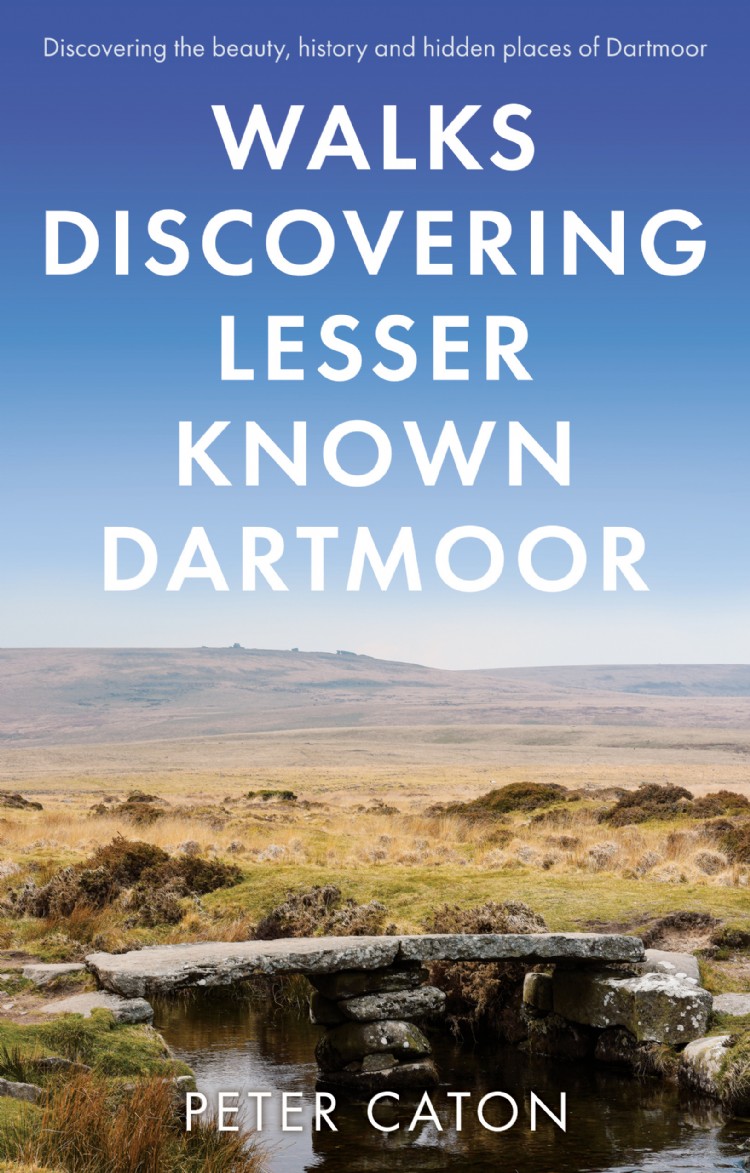
Wandelgids Walks Discovering Lesser Known Dartmoor | Matador

A guide describing routes of 1½ to 10 miles, enabling walkers to discover the beauty, history and hidden places of Dartmoor, the wildest, most remote and arguably the most beautiful area in Southern England.


The walks will take you to antiquities dating from the Bronze Age and even earlier, to hidden waterfalls and gorges, abandoned remote dwellings, fascinating industrial archaeology, majestic tors and wonderful viewpoints.


For those who don’t know Dartmoor they provide routes for interesting walks of varying length and difficulty. Whilst some of the points of interest will be familiar to those who know the moor well, the walks will take you to places that very few people visit, passing little known artefacts with something new for almost everyone.


Produced in full colour with routes clearly marked on OS maps, the book includes comprehensive background information on the moor and the history, stories and legends of the many places visited on each walk.


An author of walking and travel books, Peter Caton has walked on Dartmoor for more than 50 years.

€ 9.95
Stadsplattegrond Glasgow Illustrated Map | Collins

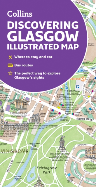
Explore new places with dependable maps from Collins. As the largest city in Scotland, Glasgow is a vibrant and bustling hub, enjoyed by thousands of visitors each year. This updated map displays delightful water-colour mapping, and includes individual illustrations of all the main sights and landmarks in the city.


Covers the centre of Glasgow from the Botanic Gardens in the north and the Riverside Museum to the west to the 12th century Cathedral and the gritty Barras Market to the east. Further mapping stretches southwest to Pollok Park and the newly refurbished Burrell Collection. The map features: Historical and contemporary anecdotesPopular areas at larger scale, hundreds of shops, restaurants, cafes and barsComprehensive travel information and indexShop-by-shop street maps of Buchanan Street and the Merchant CityRailway stations, taxi ranks and car parksBus routes shown for tour companies and airport linksBeautiful illustrations of Glasgow's top sights The perfect companion or souvenir for visitors to Glasgow.

€ 18.50
Wandelgids 5944 Wanderführer Provence | Kompass

Goede Duitstalige wandelgids met heldere beschrijvingen van de wandeltochten. Met hoogteprofiel, kaartje en de benodigde praktische informatie als bijvoorbeeld de startlocatie met GPS coordinaten. De wandelingen zijn ingedeeld in zwaarte en dan op verschillende kleuren weergegeven. Beschreven worden eenvoudige wandelingen tot pittige (berg)tochten, voor getrainde en ongetrainde wandelaars, een aantal wandelingen zijn geschikt om met kinderen te doen. Belangrijke toevoeging bij de Kompass wandelgidsen is een bijgevoegde losse wandelkaart van het betreffende gebied waarop de wandelingen uit de gids op de kaart heel duidelijk zijn ingetekend.


€ 7.95
Spel Kleine Astronauten weetjes kwartet | Identity Games

Kwartet is het leukste kaartspel voor de hele familie. Kinderen zijn dol op kwartet! Op de kaarten staan de bijpassende plaatjes en de leukste weetjes uit het heelal! Wie was de eerste persoon in de ruimte? Hoeveel sterren zijn er? Speel, onthoud, verzamel en win! De weetjeskwartetten: daar speel & leer je verder mee!


€ 13.50
Stadsplattegrond Marseille | ExpressMap

La basilique Notre-Dame-de-la-Garde richement décorée, le port historique et l'abbaye Saint-Victor sont que quelques-unes des nombreuses attractions qu'offre la ville de Marseille. Laminée et facile à plier, la carte de Marseille sera un compagnon indispensable lors d’un voyage dans cette ville magnifique. De plus, elle contient un plan supplémentaire détaillé du centre-ville à l'échelle de 1 : 10 000 (1 cm – 100 m).


Les atouts de la carte :


- riche contenu touristique, par exemple musées, monuments


- réseaux du metro et du tramway


- schéma du métro et des tramways


- plan détaillé du centre-ville


- index des rues.

€ 26.50
Wandelgids - Reisgids The England Coast Path | Bloomsbury

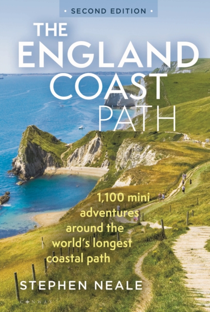
The definitive guidebook to the entire 3,000-mile length of the new England Coast Path. For anyone planning a trip to the coast or a UK summer holiday, the new England Coast Path national trail is a hugely exciting prospect, and this guidebook shows you how to make the most of every single glorious mile. Environmentalists, volunteers, campaigners, land owners and politicians all came together to create this 'ninth wonder of the world', and from the opening of the path in 2020 onwards, anyone has been able to walk and wild camp along the entire 3,000-mile length of the English coast.


It's a fantastic opportunity for all walkers, campers, fans of the coast and the outdoors. Stephen Neale has spent many happy months walking, camping and surveying the path, and from that experience has written a fantastically detailed and rich guidebook covering the route itself, along with everything from the best places to swim, hunt for fossils and eat seafood to hidden away beaches and canoeing spots. Fully updated for its second edition, with 100 extra adventures from the newly opened sections of the path and spectacular new aerial photography, the book is divided up into the 16 coastal counties and features 1,100 places to see, camp and explore around the coast.


Each place has map coordinates and basic directions from the path, allowing walkers to either visit specific places or link highlights together, walking between them along the path. The England Coast Path represents what makes England so great: a little bit mad, a little bit proud, and the lucky host to one of the most spectacular and wild coastlines in the world. With this book you too can join the adventure.

€ 27.95
Wandelgids Outstanding Scenic Walks of New Zealand | New Holland

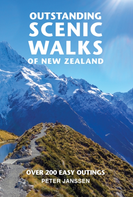
Outstanding Scenic Walks of New Zealand is for everyone who enjoys walking. this fully up-to-date edition contains an irresistible selection of quick, enjoyable excursions throughout the country. 

Every walk includes a highlight, wheter it's a spectacular natural feature, such as the Craters of the Moon near Lake Taupo or the dramatic scenery in Fiordland; or an enounter with the penguins found in colonies along the Otago Coast in the South Island. Natural history notes draws walkers' attention to particular features of New Zealand flora and fauna, describing endemic and native plants, birds, and animals likely to be discovered during the walk. 

Each walk entry includes:

Travel directions

Walking time

Track and nature notes

€ 9.95
Wegenatlas Road Atlas Ireland | Collins

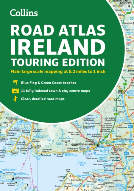
Explore Ireland with this accurate and fully updated road atlas. This road atlas is at A4 size, covering the whole of Ireland and features clear and detailed Collins colour mapping at a scale of 5.2 miles to 1 inch. Perfect for both residents and visitorstouring Ireland.


This revised edition includes: Places of tourist interestContact information for Tourist Information Centres with grid references to the mappingFully indexed street maps of 11 cities and towns - Dublin, Belfast, Cork, Limerick, Waterford,Londonderry (Derry), Galway, Bangor, Dun Laoghaire, Drogheda and KillarneyBlue Flag & Green Coast beachesFerry and airport information; Distance chart; Distances marked on the roads in miles and kilometresRoute planning map of the whole of Ireland at 15.8 miles to 1 inchAdministrative map of Irish counties and districts.

€ 15.50
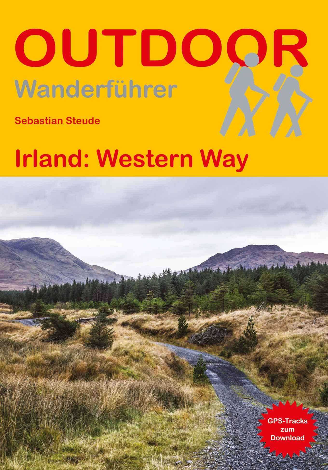
Wandelgids Irland (Ierland) | Conrad Stein Verlag

Handzaam boekje met routebeschrijvingen inclusief een heleboel praktische informatie. De beschrijving is uitstekend, maar kaarten zijn beperkt en schetsmatig aanwezig. Duits


Hier im Nordwesten Irlands, in der historischen Provinz Connemara, lässt sich noch das ursprüngliche Irland erfahren. Mit dem Western Way führt auch ein 240 km langer Wanderweg in 13 Etappen durch diese landschaftlich äußerst abwechslungsreiche Region. Sie kommen an zahlreichen Seen vorbei, überschreiten karge Bergpässe und Ruinen erzählen von der wechselvollen Vergangenheit. Aufgrund der Länge einzelner Etappen und der stellenweise großen Abgeschiedenheit ist der Weg als moderat einzustufen - eine solide Kondition und eine gewisse Wetterfestigkeit sind Grundvoraussetzungen.Das Buch unterstützt bei der Planung und Durchführung der Wanderung. Es gibt praktische Tipps sowie alles Wissenswerte zu den 13 Etappen des Western Way: landschaftliche Besonderheiten, Einkehr-, Einkaufs- und Übernachtungsmöglichkeiten entlang des Weges und Informationen über den öffentlichen Nahverkehr. Ergänzt werden die Wegbeschreibung durch Karten und Höhenprofile sowie GPS-Tracks zum Download.


Land und Leute; Reise-Infos von A bis Z; Beschreibung des Western Way in 13 Etappen. 

€ 24.95
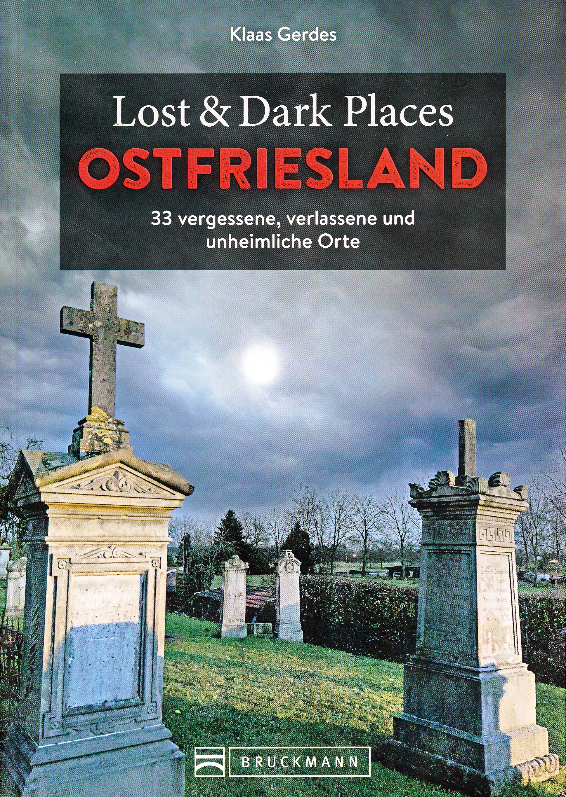
Reisgids Lost & Dark Places Ostfriesland | Bruckmann Verlag

Verfolgte Hexen und Freibeuterei

Hünengräber neben idyllischen Höfen, Blutsteine neben Badestränden, Friedhöfe neben Fischkutterromantik: Ostfriesland kann auch herb und düster.

Ostfriesland ist so flach, dass man morgens schon sehen kann, wer abends zu Besuch kommt. Doch neben den idyllischen Bauernhöfen und verträumten Sielhäfen gibt es auch das andere Ostfriesland, das von dunklen Orten, versunkenen Dörfern und gefährlichen Mooren oder den Schrecken der Hexenverfolgung erzählt. Diese Orte liegen häufig gut versteckt irgendwo auf dem flachen Land, tief im Wald oder sogar mitten in der Stadt und entfalten dort ihren ganz besonderen Zauber. Ein ideales Ausflugsziel für True Crime Fans!

Abonneer op