€ 17.50
Fotoboek Amazônia | Taschen

Compact fotoboek met prachtige zwart-wit fotografie van de Amazone en de inheemse bevolking.

For six years Sebastião Salgado traveled the Brazilian Amazon and photographed the unparalleled beauty of this extraordinary region: the rainforest, the rivers, the mountains, the people who live there--this irreplaceable treasure of humanity in which the immense power of nature is felt like nowhere else on earth.

€ 9.95
Wandelkaart Tafelgebergte, Wałbrzyskie, Kamienne, Gory Stolowe | Sygnatura

Een gevouwen, dubbelzijdige toeristenkaart van het Stołowe-, Wałbrzyskie- en Kamienna-gebergte in de schaal 1: 50.000 uitgegeven door Sygnatura.


De kaart bevat steden als: Kudowa-Zdrój, Radków, Duszniki-Zdrój, Nowa Ruda, Wambierzyce, Szczytna, Polanica-Zdrój, Kłodzko, Kamienna Góra, Lubawka, Szczawno-Zdrój, Boguszów-Gorce, Mieroszów, Wałbrzych, Jedlina-Zdrój , Głuszyca aan de Poolse kant en Mezimesti, Teplice nad Metuji, Upice, Rtyne v Podkrkonosi, Starkov, Police nad Metuji, Hronov, Nachod, Broumov aan de Tsjechische kant.


Op de kaart staan onder andere:

- wegennet met nummering, afstanden in kilometers,

- spoorlijnen met stations, haltes met namen,

- parkeergarages, benzinestations, inreisverboden,

- wandelpaden met passeertijden, liften,

- fietsroutes paardrijden , skiën en kanoën,

- accommodaties, restaurants, bergbuffetten, geldautomaten,

- verhuur van mountainbikes en skimateriaal,

- musea, sacrale gebouwen, kastelen, paleizen, herenhuizen, ruïnes,

- toeristische informatiepunten, toiletten,

- natuurschatten en historische ,

- uitkijkpunten, schuren,

- bronnen, watervallen, beschermde gebieden.


Verder bevat de publicatie een kaart van Skalne Miasto op schaal 1:25.000, een korte toeristische gids en contactgegevens van opvanghuizen en andere contactvoorzieningen.


De kaart maakt gebruik van plastic arcering van het reliëf.

€ 23.95
Wandelgids 2 Walking the Corbetts: Volume 2 | Cicerone

Uitstekende wandelgids, goed beschreven met veel praktische informatie om de route te kunnen lopen, inclusief redelijke kaarten.

This guide describes routes up all 109 Corbetts north of the Great Glen. The Corbetts offer challenging ascents and descents on steep slopes.

The Corbetts (Scotland's 2500-2999ft mountains) are every bit as interesting as the Munros (3000ft and over), often clear when the Munros are in cloud, walkable on short winter days, free of the peak-bagging crowds of their taller neighbours.


Walking the Corbetts is divided into two volumes. The guide covers the Corbetts to the north of the Great Glen, which runs from Fort William to Inverness and includes those in Knoydart, Applecross, Torridon and the isles of Skye, Mull, Rum and Harris. Choosing the best, rather than the quickest, routes up each summit the author covers 109 peaks in 90 routes, illustrated with custom 1:100,000 mapping.


South of the Great Glen it is the Munros which attract most attention, but along the western seaboard and in the far north it is the Corbetts that dominate the landscape with isolated rocky peaks rising steeply above the sea and inland lochs, in a wilderness of heather and bog dotted with sparkling lochs and lochans. There are spectacular Corbetts all the way from Ardgour to Cape Wrath. The far north-west provides some of the most magnificent mountain scenery in the world and it is difficult to beat the magical islands of Mull, Rum, Skye and Harris.

€ 10.95
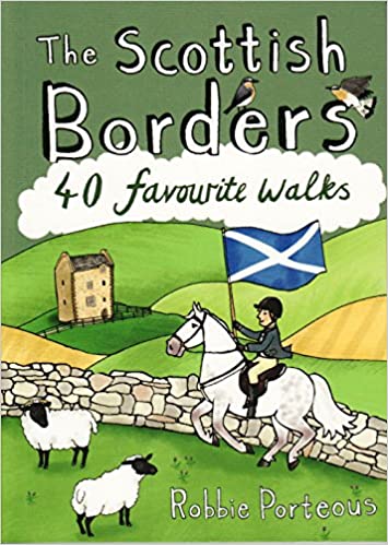
Wandelgids The Scottish Borders | Pocket Mountains

Handige compacte wandelgids met 40 dagwandelingen. Deze gids bevat kleine kaartjes en leuke uitgebreide informatie over wat er langs de route te zien is. Goede wandelkaarten zijn echter we noodzakelijk voor deze tochten: de Ordnance Survey explorer maps of Landanger maps zijn zeer geschikt.


The Scottish Borders cover a vast area, stretching from the east coast to rural Dumfriesshire and from the more populous Lothians to the border with England. Although there are no very high mountains, the Borders have always attracted walkers keen to explore the quiet moorlands, rolling hills, ancient woodland and rugged coast, as well as the romantic ruins of abbeys and castles, grand estates and rich literary heritage of the area.Ancient native tribes and Roman legions left their mark on this landscape, as did years of fierce warfare with our southern neighbours and raiding by ruthless Border Reivers. These 40 walks will introduce you to some of the fascinating history which shaped this most intriguing, as well as beautiful region.


€ 10.95
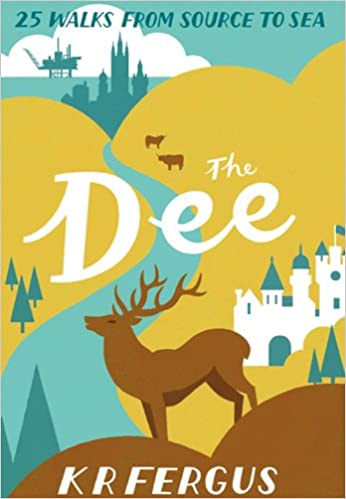
Wandelgids The Dee | Pocket Mountains


Handige compacte wandelgids met 40 dagwandelingen. Deze gids bevat kleine kaartjes en leuke uitgebreide informatie over wat er langs de route te zien is. Goede wandelkaarten zijn echter we noodzakelijk voor deze tochten: de Ordnance Survey explorer maps of Landanger maps zijn zeer geschikt.


Bounded by the highest mountains in Britain, the majestic River Dee winds its way through some of Scotland's most celebrated scenery. From its source in the shadow of Ben Macdui and Braeraich high in the Cairngorm mountains, the Dee cascades over waterfalls and meanders through the remnants of the ancient Caledonian forest before making its way to Aberdeen and the North Sea. There is no better way to discover the wildlife, architecture and history of this area of Scotland than to walk.


Whatever your ability - walking at high or low level, following tough terrain or level paths - the 25 routes in this guide offer something for everyone.


€ 19.95
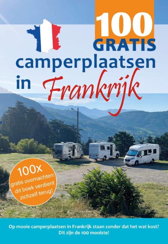
Campergids 100 GRATIS camperplaatsen in Frankrijk | Orange Books

100x gratis overnachten: Dit boek verdient zich snel terug! Hét boek voor iedereen die graag • met de camper op vakantie gaat naar Frankrijk • niet teveel geld kwijt wil zijn • en toch graag op de mooiste plekken staat! In dit boek vind je maar liefst 100 mooie camperplaatsen met veel foto's, de meest actuele gegevens en duidelijke omschrijvingen van camperplaats en omgeving. Met extra aandacht voor plekken die geschikt zijn voor: - doorreis - fietsen - wandelen - wijn - wintersport

€ 24.95
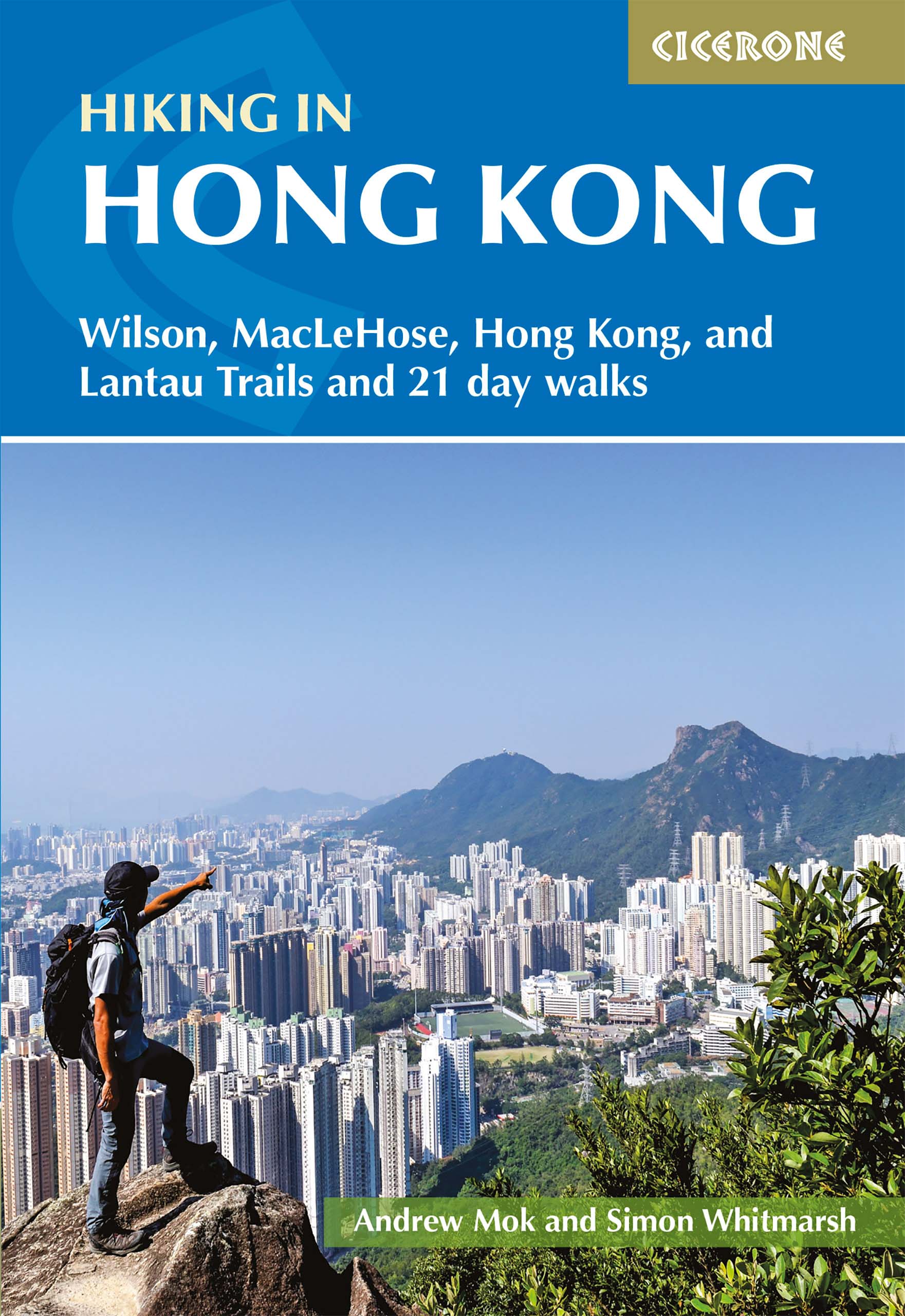
Wandelgids Hiking in Hong Kong | Cicerone

Although Hong Kong is often thought of as intrinsically urban, just a short distance from the big cities are lush mountains and attractive and varied countryside. This guide presents the highlights of this hiking-friendly territory, detailing 21 graded day walks and four short treks: Hong Kong Trail (presented in 3 day stages), Lantau Trail (5 days), MacLehose Trail (5 days) and Wilson Trail (5 days). The day walks - of 5 to 22.5km - cover Hong Kong, Kowloon, the New Territories and the islands and range from easy hikes suitable for families to challenging ascents of Hong Kong's highest peaks. The territory's compact nature and excellent public transport infrastructure make it easy to access the routes.


The guide has all you need to explore Hong Kong's excellent network of trails. Route description is accompanied by clear mapping and there are comprehensive notes - including Chinese place names - to help visitors navigate the public transport system. Alongside practicalities such as getting there, equipment and weather, information on local points of interest offers an insight into Hong Kong's rich geology, history and culture.


The Hong Kong archipelago is one of surprising diversity and contrast, where high-rise modern cities are set against a backdrop of verdant green mountains, and sandy beaches lie right alongside dense jungle. There are also plenty of opportunities for wildlife-spotting and chances to experience the fascinating 'East meets West' culture. This guide is the perfect companion to discovering the fantastic walking on offer in the 'Pearl of the Orient'.

€ 17.95
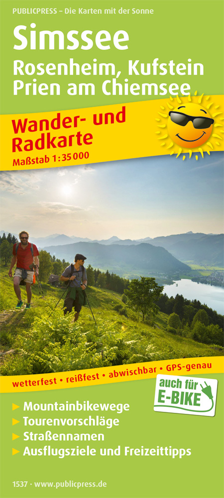
Wandelkaart 1537 Simssee | Publicpress

Handige, geplastificeerde kaart. Fietsroutes, enkele MTB routes en wandelpaden zijn met verschillende kleuren ingetekend.

Eingebettet in eine sanfte, einzigartige Hügellandschaft, liegt der Simssee idyllisch zwischen Voralpen und „Bayerischem Meer“, dem Chiemsee, vor den Toren der Kreisstadt Rosenheim. Der ruhige, relativ unbekannte See ist Biotop, Kulturlandschaft und Freizeitmagnet in einem. Die Region ist ein echtes Paradies für Wanderer und Radfahrer mit Wegen für alle Ansprüche: Im Norden eben für Genusswanderer und -Radfahrer, im Süden locken die Berge die Alpinisten und dazwischen laden malerische kleinere und größere Orte zur Rast ein.

€ 19.50
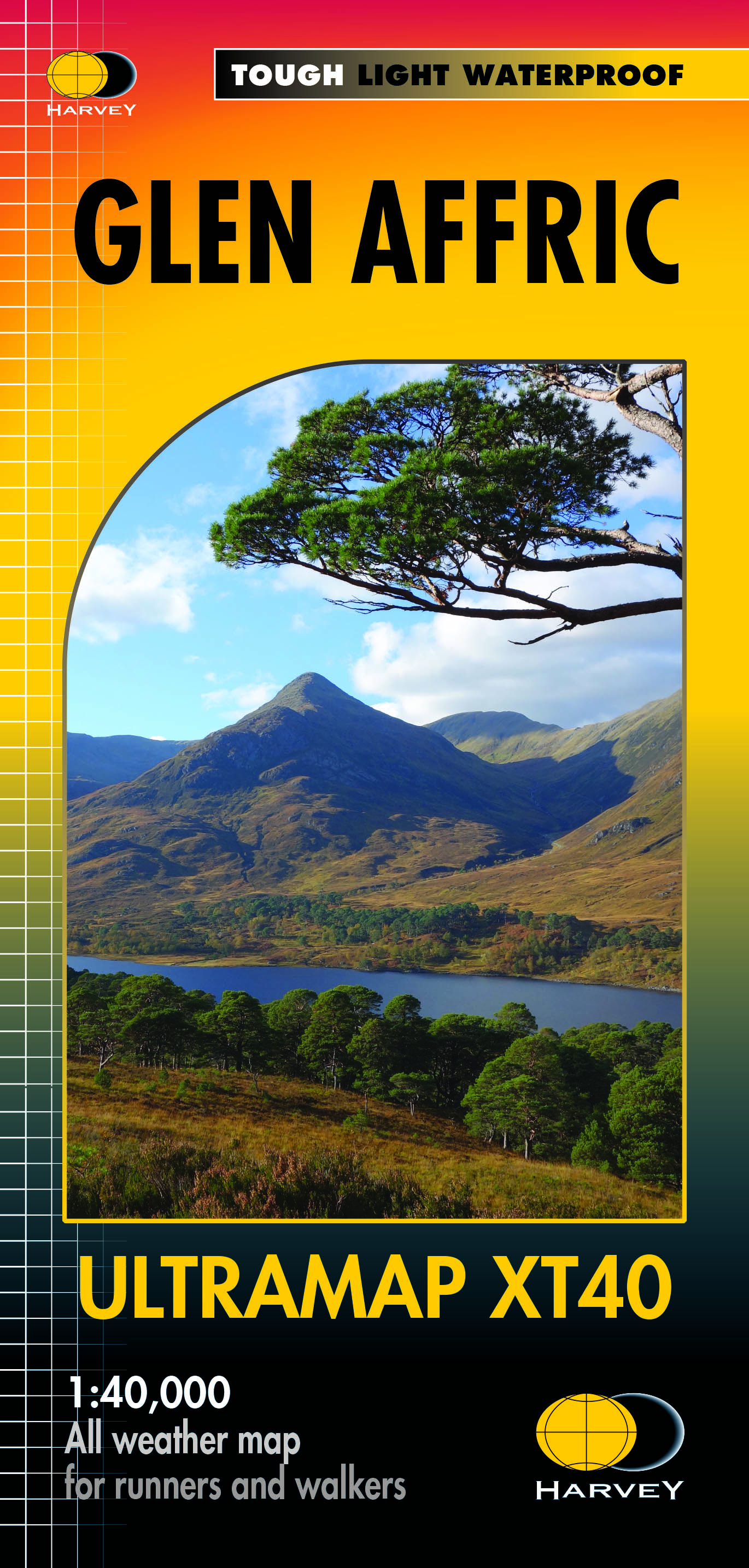
Wandelkaart Glen Affric | Harvey Maps

Covers a large area yet is handily compact. Pocket perfect!


Detailed map for runners and walkers of the remote Glen Affric area at the magic scale of 1:40,000.


Shows hills from Glen Shiel to Loch Mullardoch.


Includes 26 Munros, 8 Corbetts and 4 Grahams.

€ 19.50
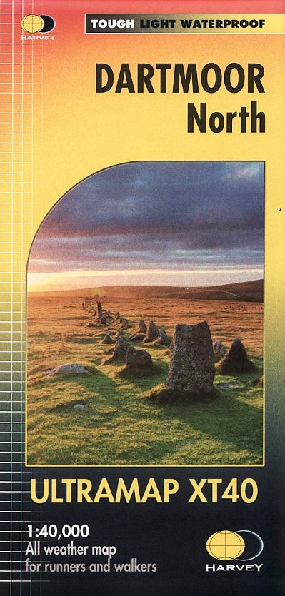
Wandelkaart Dartmoor Noord | Harvey Maps

Covers a large area yet is handily compact. Pocket perfect!


Detailed map for runners and walkers of the north section of Dartmoor National Park at the magic scale of 1:40,000.


Features Dartmoor's famous Tors including Haytor Rocks, Yes Tor and High Willhays.


Archaeological sites include standing stones, stone circles and ancient travel routes are also shown.


Fully detailed genuine HARVEY mapping

Includes Rights of Way

Use without a map case: tough and 100% waterproof

Opens directly to either side of the sheet

Abonneer op