€ 23.50
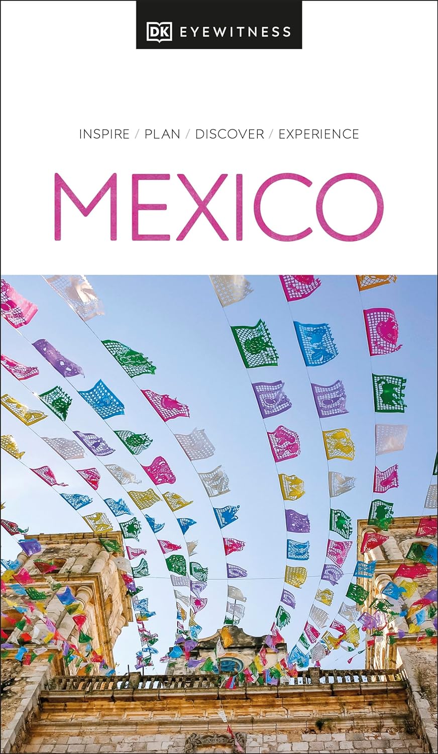
Reisgids Eyewitness Travel Mexico | Dorling Kindersley

Prachtig geillustreerde reisgids met o.a. 3D tekeningen, fraaie kaarten en geweldige foto’s. Daarnaast uitgebreide achtergrondbeschrijvingen. Echt om in de stemming te komen! Groot formaat gids. Engelstalig.

Whether you want to explore jungle-clad Mesoamerican pyramids, swim in the crystal-clear waters of a cenote, or devour freshly made and flavorful street food. There are so many things to see and do in Mexico. Whatever your dream trip involves, this DK Eyewitness travel guide is the perfect companion.


Our updated guide brings Mexico to life, transporting you there like no other travel guide does with expert-led insights, trusted travel advice, detailed breakdowns of all the must-see sights, photographs on practically every page, and our hand-drawn illustrations, which take you inside the country's buildings and neighbourhoods.


You'll discover:


-Our pick of Mexico's must-sees and top experiences

-The best spots to eat, drink, shop and stay

-Detailed maps and walks that make navigating the region easy

-Easy-to-follow itineraries

-Expert advice: get ready, get around and stay safe

-Colour-coded chapters for each part of Mexico

-A lightweight format, so you can take it with you wherever you go


Want to explore one of Mexico's most popular spots? Try Top 10 Cancún and the Yucatán.

€ 16.95
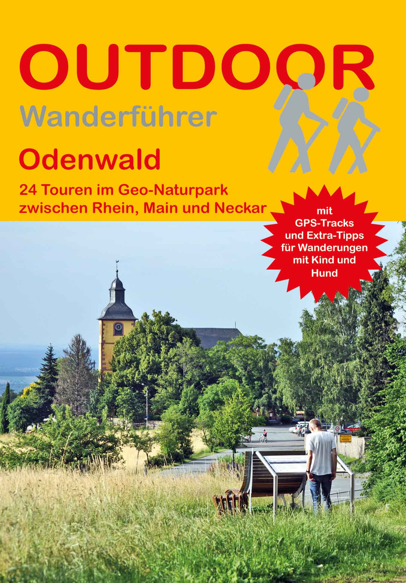
Wandelgids Odenwald | Conrad Stein Verlag

Der Odenwald ist ein Mittelgebirge, welches sich im Westen zur Rheinebene öffnet. Die Hänge sind als Bergstraße mit ihrem südländischen Flair und als Weinanbaugebiet bekannt. Im Norden zeichnet sich die Grenze weniger klar ab und verläuft in Höhe von Darmstadt Richtung Osten bis an den Main. An der Ostseite führt der Main entlang und trennt den Odenwald vom Spessart. Im Süden wird der Odenwald naturräumlich durch den Neckar begrenzt, wobei der anschließende Kleine Odenwald geografisch noch zum Mittelgebirge Odenwald dazugehört.

Dieser Wanderführer beschränkt sich auf den Naturraum Odenwald nördlich des Neckars mit dem Naturpark Bergstraße-Odenwald. Er liegt zwischen den Städten Darmstadt in Südhessen, Heidelberg im nördlichen Baden und Miltenberg in Unterfranken in Bayern.


Bekannt ist der Odenwald für seine Vielzahl an sagenumworbenen Burgen und Schlössern. Fast jede Wanderung kann mit einer Burg- oder Schlossbesichtigung verbunden werden. Die bekannteste Sage ist das Nibelungenlied. Der Odenwald ist ein entscheidender Handlungsort, denn hier wird Siegfried an einer Quelle ermordet. Ein genauer Ort ist nicht überliefert und so bleibt ungewiss, wo sich der „Siegfriedbrunnen“ befindet.

Der Odenwald überzeugt mit vielfältige Wandermöglichkeiten auf einem 10.000 km umfassenden Streckennetz. Es ist eine waldreiche Gegend. Der Wald wechselt sich mit kleinen Ortschaften und Weideflächen sowie Feldern ab, die den Blick über sanfte Hügel öffnen. Mit 24 Tagestouren liefert der Wanderführer die Grundlage für die Erkundungen dieser wunderschönen Region. Alle vorgeschlagenen Touren sind mit dem öffentlichen Nahverkehr erreichbar. Einzelne Touren sind aufgrund ihrer Länge und den Angeboten am Wegesrand besonders für Familien geeignet, aber auch der sportliche Wanderer findet Touren mit bis zu 1.000 Höhenmetern.

€ 26.50
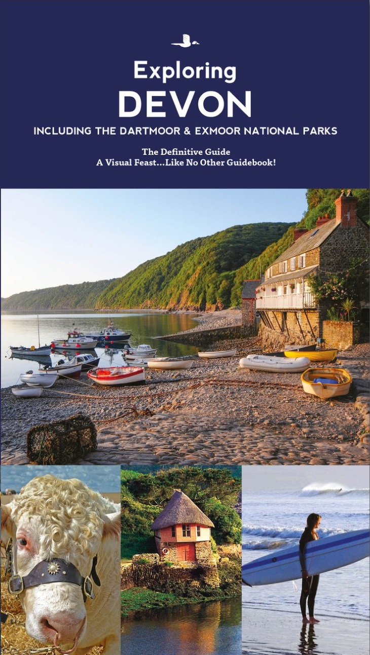
Reisgids Devon Guide Book | Goldeneye

In this Devon guide book, which includes the Dartmoor and Exmoor National Parks, experienced West Country writer and photographer (and former Devon resident), William Fricker, provides his opinion on this wonderful area of England. Offering a unique perspective on this well-travelled area of Britain, William reveals little-known corners of Devon that will delight and surprise. * Discover the best beaches and harbours, the most beautiful villages and river valleys* Experience a full range of activities from surfing and exploring the coast path to visiting gardens, exploring the brilliant architecture of the country houses and churches, to hiring a Salcombe Yawl* Enjoy a wide range of interesting and quirky places to stay, from tree houses to country house hotels, to pubs, and restaurants with rooms* Immerse yourself in the best variety of eateries, from delis and coffee shops, to dining pubs and traditional hostelries, as well as the best local craftspeople, and art galleries* Includes over 300 photographs and illustrations really bringing your trip to life before you've even left home* Over 43 pages of touring maps so you can plan your timeHere is a refreshing and enlightening take on what Devon has to offer visitors and locals alike.


All entries are chosen on merit, and what they have in common is that extra Something Special. 'This is both an attractive guidebook and a refreshingly different read...what marks this guide out in particular is the excellent use it makes of Goldeneye's specialist mapping skills.' Devon Life Magazine 'In photography, layout and design, Goldeneye Guides look unbeatable' Sebastian FaulksA visual feast - like no other guidebook!

€ 10.50
Wegenkaart - landkaart 17619 Pays Basque - Baskenland | Michelin

Toeristische wegenkaart van een deel van Fraknrijk. Op de ene zijde een een Michelin kaart afgebeeld op een schaal van ca. 1:200.000, het gaat hier om de originele Michelin wegenkaart met alle postieve aspecten die hier bij horen: duidelijk kaarttbeeld met toch veel detail. Daarnaast enkele plattegronden (het centrum) van de belangrijkste steden in dat gebied. Op de achterzijde (in het Frans) vindt u beknopt de hoogetepunten beschreven van de streek met leuke dingen om te doen of te zien.


Deze kaart is gedrukt op speciaal papier en is daardoor scheur- en watervast: een duurzame kaart!

La carte routière Michelin lisible et détaillée. Contient l'essentiel pour découvrir la région tous les sites étoilés du Guide Vert visibles en un coup d'oeil, les incontournables et les coups de coeur des éditeurs, les activités à faire en famille, les routes pittoresques, des suggestions d'itinéraires de 1 à 5 jours.

Bayonne, Biarritz, Cambo-les-Bains, Donostia/San Sebastian, Oloron-Ste-Marie, Orthez, Pays basque, St-Jean-de-Luz, St-Jean-Pied-de-Port

€ 10.50
Wegenkaart - landkaart 17618 Côte d'Azur | Michelin

Toeristische wegenkaart van een deel van Fraknrijk. Op de ene zijde een een Michelin kaart afgebeeld op een schaal van ca. 1:200.000, het gaat hier om de originele Michelin wegenkaart met alle postieve aspecten die hier bij horen: duidelijk kaarttbeeld met toch veel detail. Daarnaast enkele plattegronden (het centrum) van de belangrijkste steden in dat gebied. Op de achterzijde (in het Frans) vindt u beknopt de hoogetepunten beschreven van de streek met leuke dingen om te doen of te zien.


Deze kaart is gedrukt op speciaal papier en is daardoor scheur- en watervast: een duurzame kaart!

NOUVELLE carte routière et touristique MICHELIN : l évasion à la carte ! Lisible et détaillée, la NOUVELLE carte Côte d'Azur au 1 / 190 000 (1cm = 1,9 km) contient les informations essentielles pour partir à la découverte de la région : les sites étoilés du Guide Vert visibles en un coup d'oeil, les incontournables et les coups de coeur des éditeurs, les routes pittoresques, des suggestions d itinéraires et enfin les activités à faire en famille. Vous apprécierez également son format pratique à manipuler, idéal pour une utilisation nomade. Enfin, grâce à son support plastifié, vous pourrez écrire et effacer directement sur la carte (avec un feutre effaçable ou un fluo). Idéal pour tracer vos itinéraires et partagez vos bons plans avec vos proches !

Cannes, Draguignan, Grasse, Hyères, Menton, Nice, St-Raphaël, St-Tropez

€ 13.95
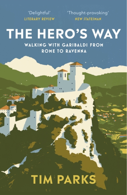
Reisverhaal The Hero's Way | Tim Parks

In the summer of 1849, Giuseppe Garibaldi, Italy's legendary revolutionary hero, fled Rome and led 4,000 of his men hundreds of miles through Umbria and Tuscany, then across the Apennines, Italy's mountainous spine, toward the refuge of the Venetian Republic. After thirty-two exhausting days of skirmishes and adventures, only 250 survivors reached the Adriatic coast.


This hair-raising journey is brought vividly to life by bestselling author Tim Parks, who in the blazing summer of 2019, followed in Garibaldi's footsteps. A fascinating portrait of Italy past and present, The Hero's Way is a celebration of determination, creativity and desperate courage.

€ 26.50
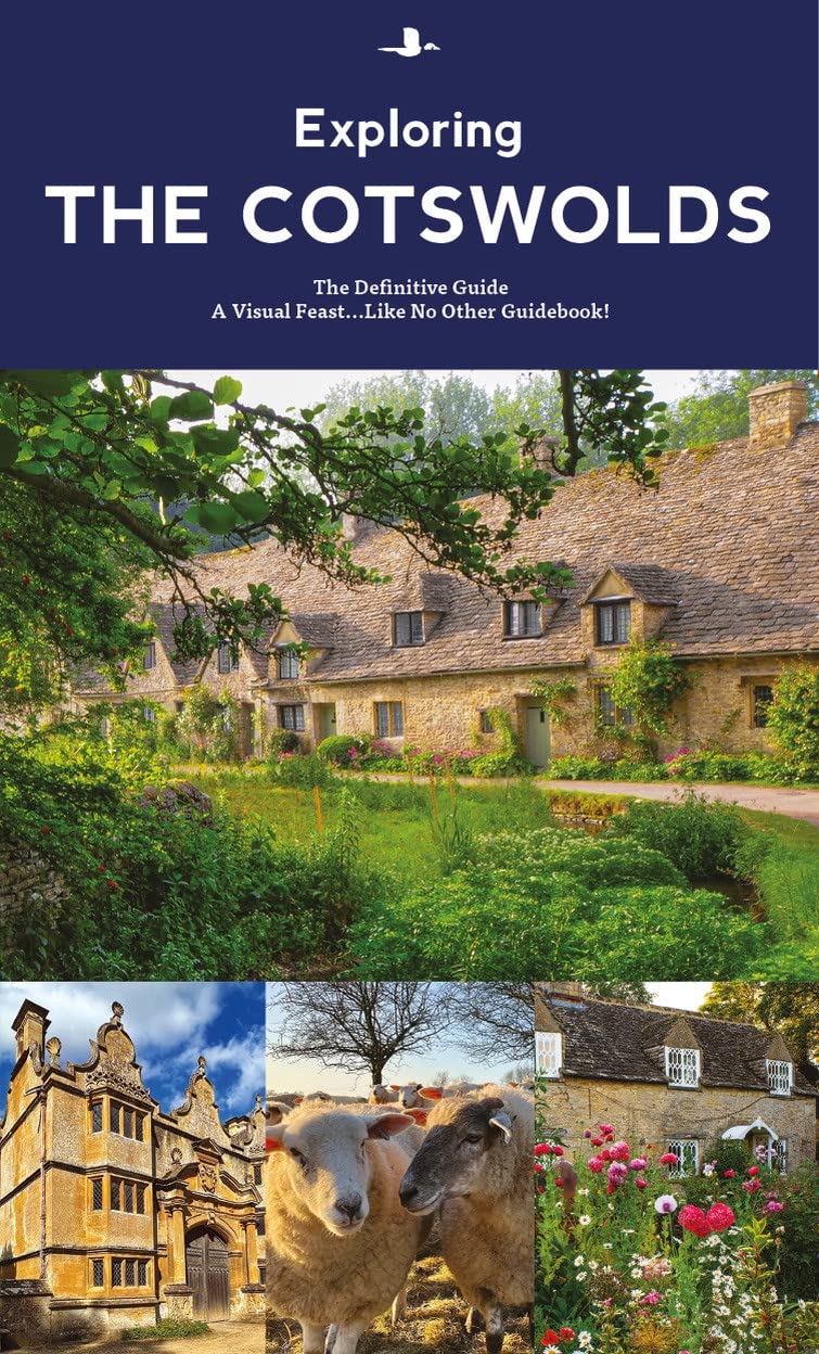
Reisgids The Cotswolds Guide Book | Goldeneye

The definitive guide to The Cotswolds.

In this fully revised and updated Cotswolds guide book, Cotswold specialist, William Fricker, provides his insightful advice on what to see and where to stay in this wonderful area of England. Offering a unique perspective on this glorious corner of Britain, William reveals little-known corners of the Cotswolds that will delight and surprise.

Discover the most beautiful villages and valleys in this Area of Outstanding Natural Beauty.

Experience a full range of activities from visiting gardens to exploring the brilliant architecture of the country houses, barns and churches.

Enjoy a wide range of interesting and luxurious places to stay, from B&B's to country houses to inns and restaurants with rooms.

Immerse yourself in the best variety of eateries, from delis and coffee shops, to dining pubs and traditional hostelries, as well as the best local craftspeople, and art galleries.

Includes over 340 photographs and illustrations really bringing your trip to life before you've even left home.

Over 20 pages of touring maps so you can plan your time.

Here is a refreshing and enlightening take on what the Cotswolds have to offer visitors and locals alike. All entries are chosen on merit, and what they have in common is that extra Something Special.

This book includes Bath, Broadway, Burford, Cheltenham, Chipping Camden, Malvern, Stratford-Upon-Avon, Witney and Woodstock.

€ 34.95
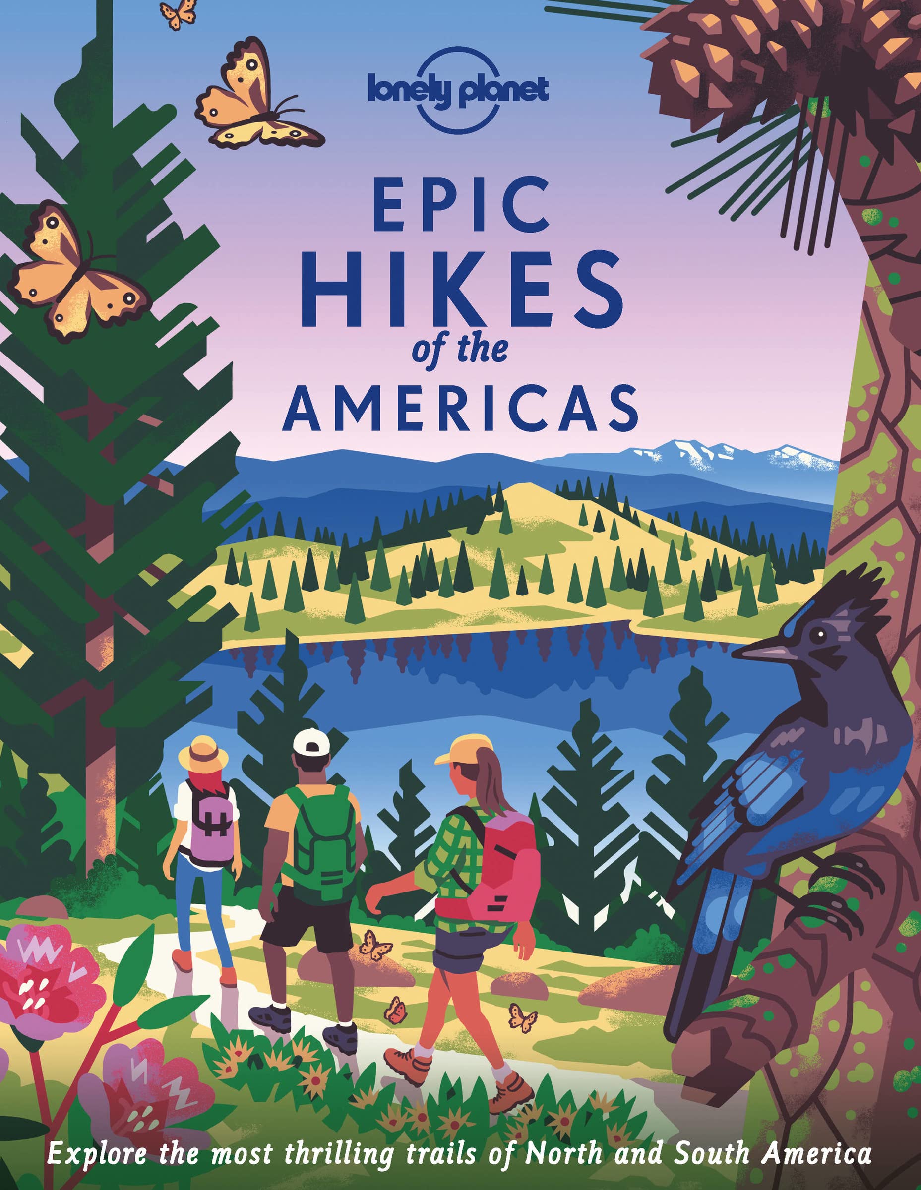
Wandelgids Epic Hikes of the Americas | Lonely Planet

Lace up your hiking boots for the next in Lonely Planet's highly successful Epic Hikes series, this time exploring 50 of the Americas' most rewarding treks and trails. From Canada's longest hut-to-hut hike, the Sunshine Coast Trail, to a descent through Havasu Canyon in the USA, and the Santa Cruz Trail of northern Peru, we cover a huge variety of themes and experiences across routes that range from one-day walks to multi-day treks.

Each of the featured hikes includes:

First-person accounts from writers who have completed the hike

Challenge level grading: easy / harder / epic

Inspirational photography, maps and practical information to follow in the writer's footsteps

Orientation toolkit: when is the best time of year to hike, how to get there, special equipment required

Expert travel advice: where to stay, recommended tours, the best places to eat

Suggestions for similar hikes

50 epic hikes across the Americas, including:

The Chilkoot Trail, Alaska (USA)

Joshua Tree Trail, California (USA)

Highline Trail, Glacier National Park, Montana (USA)

Halawa Valley, Hawaii (USA)

Wonderland Trail, Washington (USA)

Huemul Circuit, Parque Nacional Los Glaciares (Argentina)

The Black Rock Lodge Summit Hike (Belize)

Wild Pacific Trail (Canada)

Isla Navarino (Chile)

Tayrona National Park (Colombia)

Corcovado National Park (Costa Rica)

Comandancia de la Plata and Pico Turquino (Cuba)

Boiling Lake Hike (Dominica)

Quilotoa Loop (Ecuador)

The Arctic Circle Trail (Greenland)

Camino del Cobre (Mexico)

Santa Cruz Trail (Peru)

With a vibrant cover illustrated by Ross Murray, this beautiful hardback continues this collectible series. Whether you're a seasoned hiker, a novice embarking on your very first trek, or looking for a gift to suit an adventurer in your life, Epic Hikes of the Americas will inspire a lifetime of epic journeys on foot.

About Lonely Planet: Lonely Planet is a leading travel media company, providing both inspiring and trustworthy information for every kind of traveller since 1973. Over the past four decades, we've printed over 145 million guidebooks and phrasebooks for 120 languages, and grown a dedicated, passionate global community of travellers. You'll also find our content online, and in mobile apps, videos, 14 languages, armchair and lifestyle books, ebooks, and more, enabling you to explore every day.

'Lonely Planet guides are, quite simply, like no other.' - New York Times

'Lonely Planet. It's on everyone's bookshelves; it's in every traveller's hands. It's on mobile phones. It's on the Internet. It's everywhere, and it's telling entire generations of people how to travel the world.' - Fairfax Media (Australia)

€ 10.99
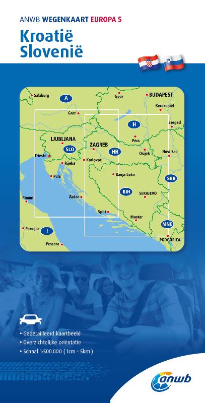
Wegenkaart - landkaart 5 Kroatië - Slovenië | ANWB Media

De ANWB heeft een grote serie wegenkaarten van de belangrijkste landen en streken. Het zijn echte overzichtskaarten van vaak een wat groter gebied. Deze keuze zorgt er voor dat de schaal vrij grof is en bepaalde details zijn weggelaten. De kleurstelling is een beetje flets waardoor je niet altijd even makkelijk onderscheid kan maken tussen verschillende landschappen of natuurlijke aspecten. 

Ook het register ontbreekt. Het grote voordeel is vaak dat het gebied op de kaart overeenkomt met de vraag van klanten. Voor het plannen van een vakantie een prima kaart!


Vergeleken met andere uitgevers van kaarten als Michelin, Freytag und Berndt of Reise KnowHow heeft de ANWB duidelijke keuzes gemaakt en gekozen voor een echte overzichtskaart. 


MET DE ANWB WEGENKAART, WEET JE WAAR JE STAAT! ANWB wegenkaarten zijn een begrip in het land. Dat laten de verkoopcijfers ook zien. Afgelopen decennia zijn meer dan 10 miljoen kaarten over de toonbank gegaan. De wegenkaarten zijn allemaal vernieuwd, met dikker karton voor de omslagen en papier dat minder makkelijk scheurt, zodat ze veelvuldig in- en uitgevouwen kunnen worden. Ze bieden een duidelijker overzicht van het wegennet en zijn nu nog compacter en handzamer. 

€ 13.95
Wegenkaart - landkaart Mexico - Chihuahua & Coahuila | ITMB

Een degelijke kaart met aanduidingen van o.a. nationale parken, vliegveld, benzinepomp, dirt-roads. Als overzichtskaart goed te gebruiken.

Northern Mexico is a vast desert-like plateau deeply steeped in Spanish colonial heritage. The very first settlement inside what is now the USA was the town of Presidio (long before the English thought of settling Jamestown) and is still one of the few crossings of the Rio Grande into Texas (itself a former Mexican province). There are two major cities in the region, Chihuahua, 300 kms south of El Paso, and Monterrey, the largest city in northern Mexico. There are major touristic attractions at Monclova, Saltillo, Parras, Torreon, and Cuauhtemoc, the end of the famous Copper Canyon rail line. The map extends a bit into Sinaloa, to include Los Mochis on the Pacific coastline. The entire rail line is also shown. This is an important part of North American history. It may not be as well-known to Europeans who favour the beaches of the Yucatan, but it is a fascinating part of Mexico on the American border. Ciudad Juarez, for example, is larger than its partner on the Rio Grande, El Paso. An inset map of the old colonial city of Saltillo is included, as well as our Top Attractions list.

Roads by classification, Rivers and Lakes, National Park, Airports, Points of Interests, Highways, Main Roads, Zoos, Fishing, and much more...


Abonneer op