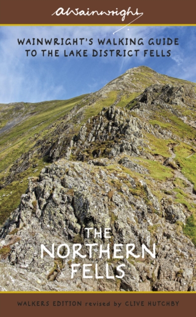
One name above all others has become associated with walking in the Lake District: Alfred Wainwright, whose seven-volume Pictorial Guide to the Lakeland Fells, first published in 1955–66, has become the definitive guidebook. Wainwright’s meticulously hand-drawn maps, diagrams and drawings take you up the 214 principal hills and mountains of the Lake District, describing the main routes of ascent from different starting points, as well as lesser-known variants, showing the summit viewpoint panoramas and the ridge routes that can be made to create longer walks. The Northern Fells, Book Five of Wainwright’s Walking Guide, covers an area that encompasses both the gentler gradients of the Uldale and Caldbeck Fells and the spectacular mountains of Skiddaw and Blencathra. This new edition has been comprehensively revised by writer and designer Clive Hutchby, author of The Wainwright Companion. Paths, maps, diagrams and route descriptions have been checked and corrected throughout in this new portable, pocket-sized flexibound format that can easily be packed and carried in a walker’s rucksack.
€ 23.50
€ 20.95
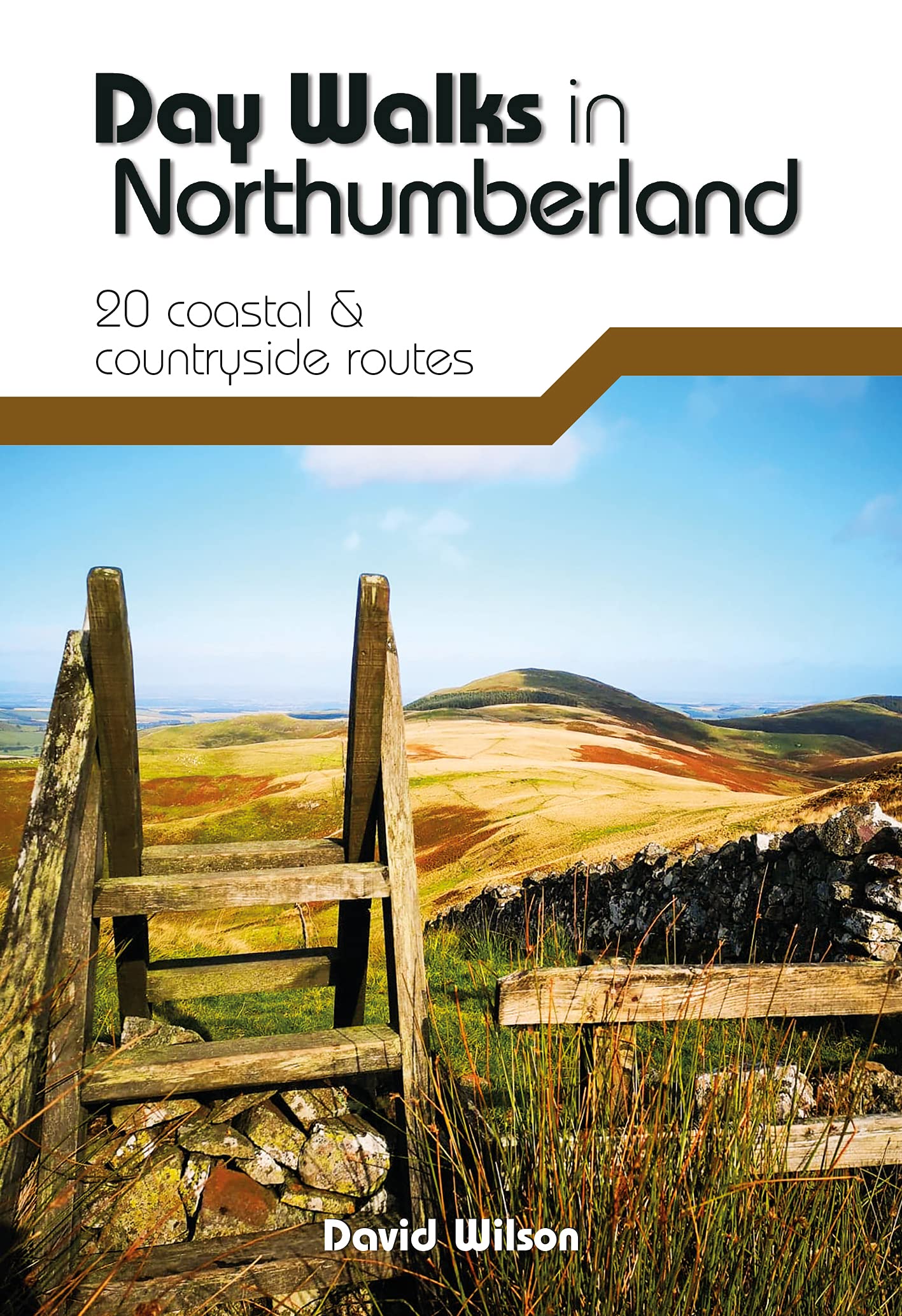
Day Walks in Northumberlandfeatures 20 routes between 7.6 and 14.5 miles (12.2km and 23.3km) in length, spread across the coast and the countryside of Northumberland and suitable for hillwalkers of all abilities. Researched and written by local walking guide David Wilson, this book covers the best that this varied county has to offer. Walk over sand dunes and past castles at Bamburgh and Dunstanburgh, discover the history of Roman Britain at Hadrian's Wall, explore the industrial heritage around the River South Tyne and follow the Pilgrim's Way to Lindisfarne. Together with stunning photography, each route features Ordnance Survey 1:25,000 maps, easy-to-follow directions, details of distance and navigation information, and refreshment stops and local information.
€ 23.95
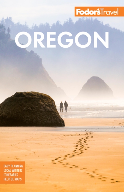
Whether you want to explore Portland, drink wine in the Willamette Valley, or hike the Columbia River Gorge, the local Fodor's travel experts in Oregon are here to help! Fodor's Oregon guidebook is packed with maps, carefully curated recommendations, and everything else you need to simplify your trip-planning process and make the most of your time. This new edition has been fully-redesigned with an easy-to-read layout, fresh information, and beautiful color photos. Fodor's Oregon travel guide includes:AN ILLUSTRATED ULTIMATE EXPERIENCES GUIDE to the top things to see and doMULTIPLE ITINERARIES to effectively organize your days and maximize your timeMORE THAN 20 DETAILED MAPS to help you navigate confidentlyCOLOR PHOTOS throughout to spark your wanderlust!HONEST RECOMMENDATIONS FROM LOCALS on the best sights, restaurants, hotels, nightlife, shopping, performing arts, activities, side-trips, and morePHOTO-FILLED "BEST OF" FEATURES on "Willamette Valley's Best Wineries," "Best Things to do in Portland," "Best Roadside Attractions" "Oregon's Best Beaches," and moreTRIP-PLANNING TOOLS AND PRACTICAL TIPS including when to go, getting around, beating the crowds, and saving time and moneyHISTORICAL AND CULTURAL INSIGHTS providing rich context on the local art, architecture, cuisine, music, geography, and moreSPECIAL FEATURES on "Wine Tasting in the Willamette Valley," and "Whale Watching in the Pacific Northwest"LOCAL WRITERS to help you find the under-the-radar gemsUP-TO-DATE COVERAGE ON: Portland, Powell's Bookstore in Portland, Columbia River Gorge, Multnomah Falls, Crater Lake National Park, Mt.
Hood, Oregon Sand Dunes, Cannon Beach, Willamette Valley Wine Country, Bend, Eugene, Oregon Caves National Monument, the Oregon Trail, John Day Fossil Beds National Monument, and more. Planning on visiting other destinations in the Pacific Northwest? Check out Fodor's Pacific Northwest, Fodor's Seattle, and Fodor's Inside Portland. *Important note for digital editions: The digital edition of this guide does not contain all the images or text included in the physical edition.
ABOUT FODOR'S AUTHORS: Each Fodor's Travel Guide is researched and written by local experts. Fodor's has been offering expert advice for all tastes and budgets for over 80 years. For more travel inspiration, you can sign up for our travel newsletter at fodors.com/newsletter/signup, or follow us @FodorsTravel on Facebook, Instagram, and Twitter.
€ 19.95
Franstalige wandelgids met een beschrijving van een aantal dagtochten / rondwandelingen. Uitstekende beschrijvingen met duidelijk kaartmateriaal. Mislopen is nauwelijks mogelijk, maar ja .. de franse taal! Ook praktische informatie staat in deze gids. Alle gidsen bevatten een door ons toegevoegde uitgebreide frans - nederlandse wandelwoordenlijst.
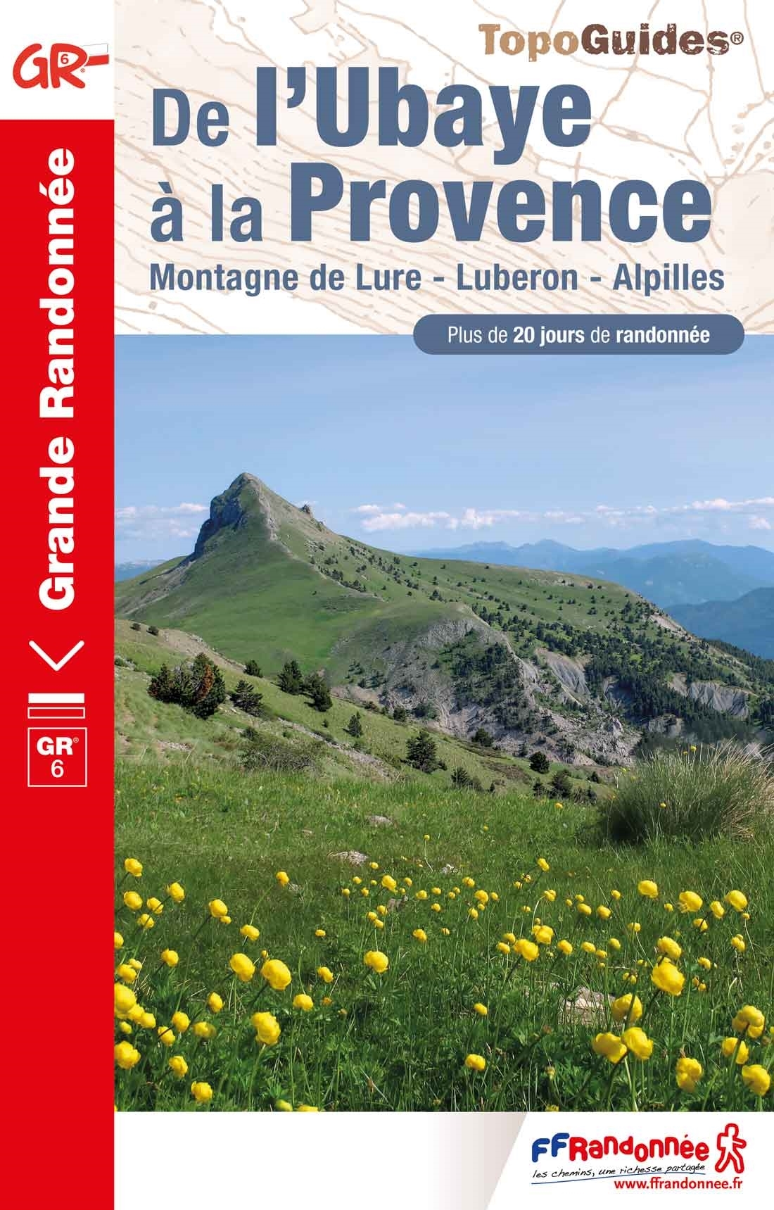
20 jours de randonnée sur le GR® 6, des Alpes-de-Haute-Provence aux Bouches-du-Rhône. Partez à la découverte de la montagne de Lure, du Luberon et des Alpilles.
Entre sommets alpins et plaine du Rhône, rigueur montagnarde et douceur méditerranéenne, le GR® 6 traverse des paysages très divers à l'identité marquée : la haute vallée de l'Ubaye, le massif des Monges et la montagne de Lure, le bassin Forcalquier, les monts du Vaucluse, les ocres colorées de la région de Rustrel, le Petit Luberon et les Alpilles.
Traits d'union de ce vaste territoire provençal, des traditions fortes et vivantes, une biodiversité surprenante ; une lumière soulignant la palette de couleurs, vert des pâturages, jaune de la pierre sèche, bleu de la lavande, argenté des oliveraies...
€ 14.95
Gedetailleerde wandelkaart van Cinque Terre op een scheur- en watervaste kaart: het is de meest gedetailleerde kaart van dit gebied.
De kaart is gebaseerd op topografische kaarten met belangrijke zaken als hoogtelijnen, bergtoppen en woningen. Daarnaast zijn er voor de wandelaars nuttige feiten als hutten, campings maar ook markeringen aangegeven; de wandelpaden staan heel duidelijk ingetekend. Voor een kaart van Italiaanse makelij van ongekend hoge kwaliteit
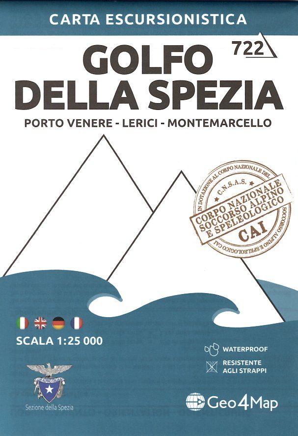
Carta dei sentieri del Golfo della Spezia, con reticolo chilometrico, stampata su supporto in Stonepaper, impermeabile e riciclabile
€ 9.95
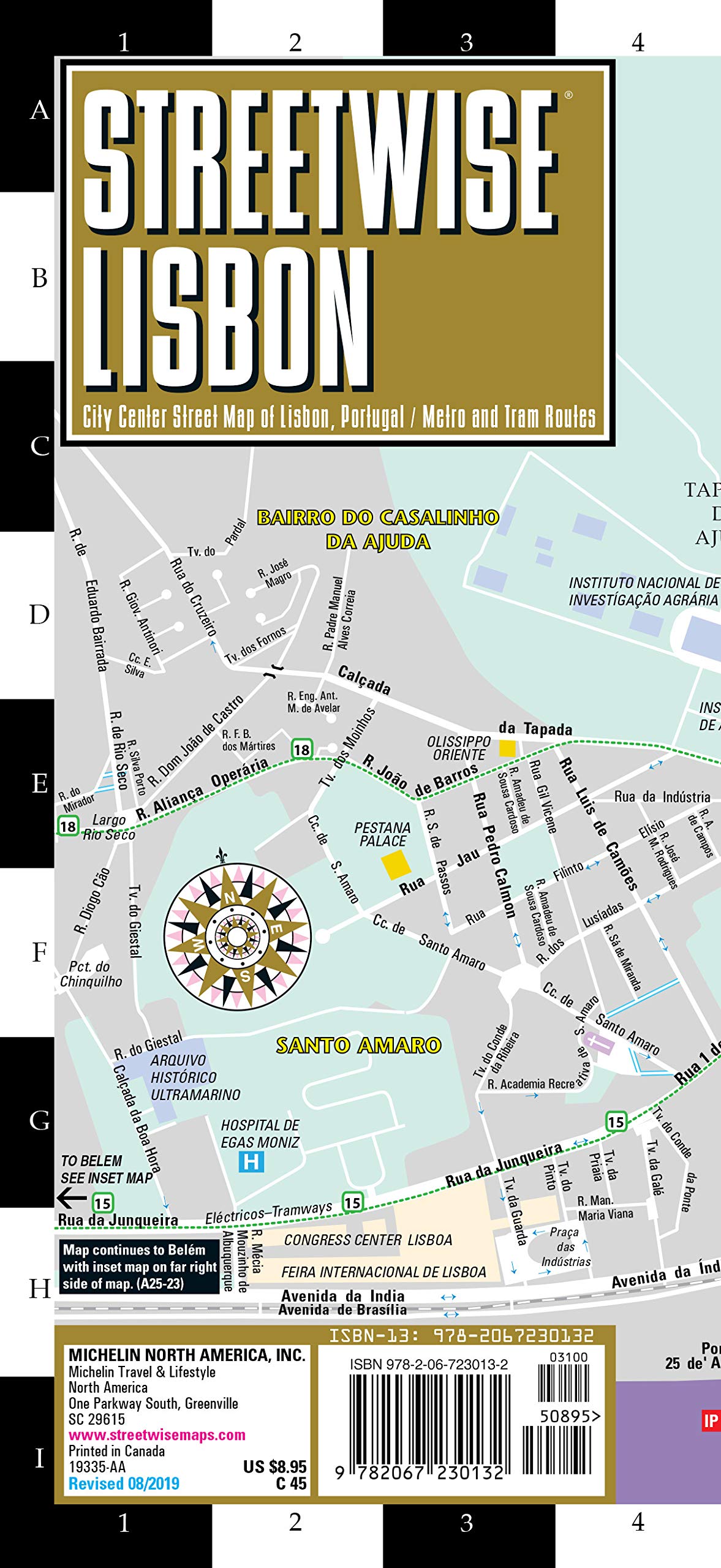
Michelin City Plans come in practical formats, paper, laminated and accordian folds. Suited for tourist use and with clear precise mapping. Starting at 1/8000 scale and upwards
€ 34.95
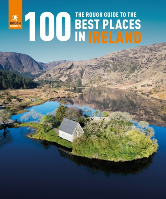
The Rough Guide to the 100 Best Places in Ireland - the latest picture-packed addition to Rough Guides' Inspiration range - shines a light on Ireland's most spectacular places in a brand-new coffee-table book. From remote rolling hills, to vibrant cities, Rough Guides have combed every corner of Ireland to bring you its most awe-inspiring spots in this photo-rich, first edition gift book. Our exploration of Ireland's iconic natural landscapes and remote historic hotspots is complemented by spotlights on the country's exciting cities and urban hubs.
This staggering photography collection - with more than 150 fabulous images - features spell-binding vistas, gritty cityscapes and fascinating historic highlights. Text and images combine to give a strong flavour of each destination, including what makes each spot unique and - ultimately - unmissable. Every place has been carefully selected by Rough Guides' dedicated team of expert authors and editors, with the contents helpfully organised geographically by region.
No matter what draws you to Ireland, this brand-new, hardback book shines a light on it, and will inspire you to explore every corner of the country. Features of the Rough Guide to the 100 Best Places in Ireland - Uncovers the top places to visit in Ireland- Stylish coffee-table book with more than 150 inspiring photographs- Suffused in Rough Guides' "tell it like it is" ethos- Organised geographically by region- Carefully curated by Rough Guides' team of expert authors and editors
€ 22.50
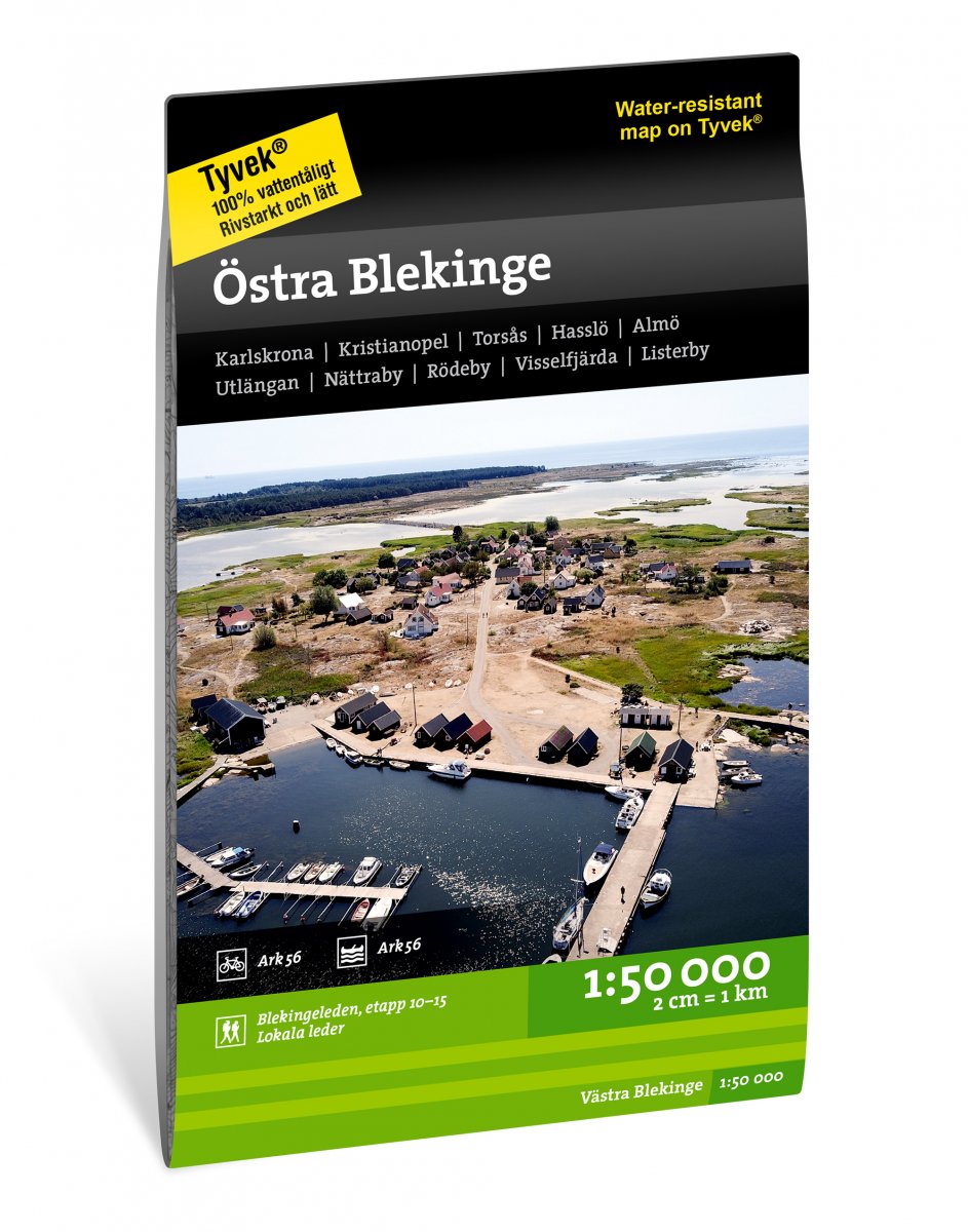
Calazo, een kaartenmaker uit Zweden, maakt heel goede wandelkaarten van bekende en minder bekende gebieden in Scandinavie. Wandelroutes, berghutten, bruggen en andere kenmerken in het landschap staan duidelijk ingetekend, de kaarten zijn zeer betrouwbaar en gedrukt op Tyvek, een watervast en superlicht materiaal wat echt duurzaam is en lang meegaat.
Karlskrona, Kristianopel, Torsås, Hasslö, Almö, Utlängan, Nättraby, Rödeby, Visselfjärda, Listerby
uitgever:
Calazo heeft twee kaartbladen van Blekinge ontwikkeld waarin het buitenleven centraal staat. Naast actuele informatie over de huidige route van de Blekingeleden en het Sydostleden fietspad, hebben we een aantal lokale wandelroutes en de aanbevolen peddelroute ARK56 toegevoegd.
We drukken onze kaarten altijd af op een materiaal genaamd Tyvek. Het is gemaakt van een synthetische vezel die de kaart volledig ongevoelig maakt voor water en zeer scheurvast is. Een tyvek-kaart scheurt niet in de vouwen en verliest geen kleur als je hem gebruikt.
€ 22.50
Calazo, een kaartenmaker uit Zweden, maakt heel goede wandelkaarten van bekende en minder bekende gebieden in Scandinavie. Wandelroutes, berghutten, bruggen en andere kenmerken in het landschap staan duidelijk ingetekend, de kaarten zijn zeer betrouwbaar en gedrukt op Tyvek, een watervast en superlicht materiaal wat echt duurzaam is en lang meegaat.
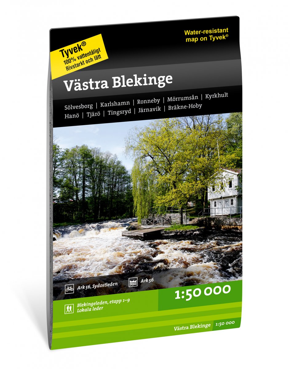
Sölvesborg, Karlshamn, Ronneby, Mörrumsån, Kyrkhult, Hanö, Tjärö, Tingsryd, Järnavik, Bräkne-Hoby
uitgever:
Calazo heeft twee kaartbladen van Blekinge ontwikkeld waarin het buitenleven centraal staat. Naast actuele informatie over de huidige route van de Blekingeleden en het Sydostleden fietspad, hebben we een aantal lokale wandelroutes en de aanbevolen peddelroute ARK56 toegevoegd.
We drukken onze kaarten altijd af op een materiaal genaamd Tyvek. Het is gemaakt van een synthetische vezel die de kaart volledig ongevoelig maakt voor water en zeer scheurvast is. Een tyvek-kaart scheurt niet in de vouwen en verliest geen kleur als je hem gebruikt.
€ 16.95
Een duidelijke wandelkaart op gedetailleerde schaal met alle noodzakelijke informatie als berghutten, moeilijke passages, afstanden etc.
Het is de grote tocht die de twee hoogste toppen van de Pyreneeën oversteekt. De Aneto met zijn 3.404 m en de Posets met zijn 3.375 m zijn de twee reuzen van de Pyreneeën, evenals de Tuc de Molières (3.010 m) en de Tuca de Salvaguardia (2.738 m).
Het circuit loopt door het hart van het natuurpark en ontdekt de grootste gletsjers, spectaculaire watervallen, verborgen bergmeren, mythische toevluchtsoorden of verdwijnende rivieren...

