€ 74.95
Wereldkaart 22086 Politiek & antiek, 185 x 122 cm | National Geographic

Een prachtige, stijlvol gekleurde kaart - bruin, antieke kleurstelling - met een modern kaartbeeld. Alle landen staan er met grenzen en belangrijke steden keurig op, maar de nadruk ligt op de kleurstelling: deze is ‘ouderwets‘ en past goed in een klassiek interieur. Door het kleurgebruik is het reliëf van de bodem van oceanen goed te zien.

De kaart is geplastificeerd ( de kleuren blijven daardoor langer mooi).

Maat 185 x 122 cm. Deze kaart wordt verzonden in een koker. Het is raadzaam bij ontvangst deze kaart te controleren op beschadigingen tijdens het transport. Alleen dan bent u verzekerd van een eventueel vervangende kaart in geval van beschadiging!

A current political map that features our world in rich, earth-toned colors. Astounding detail and boardroom quality make this map excellent for reference in your home or office. Features the Winkel Tripel projection to reduce distortion of land masses as they near the poles

National Geographic is a renowned authority in cartography. For 120 years the Society's maps have helped spread geographic knowledge around the globe. A vast database allows National Geographic to combine the latest data gained by space-age technology with innovative digital mapping techniques to create state-of-the-art political, physical, and thematic maps. The Society's meticulous research and attention to detail have established a standard of achievement that is unparalleled.

€ 179.50
Wereldkaart 26H Politiek & antiek, 117 x 76 cm | National Geographic

Een prachtige, stijlvol gekleurde kaart  - bruin, antieke kleurstelling - met een modern kaartbeeld. Alle landen staan er met grenzen en belangrijke steden keurig op, maar de nadruk ligt op de kleurstelling: deze is ‘ouderwets‘ en past goed in een klassiek interieur. Door het kleurgebruik is het reliëf van de bodem van oceanen goed te zien.

De kaart is geplastificeerd ( de kleuren blijven daardoor langer mooi) en is boven en onder voorzien van blank houten stokken als een ouderwetse schoolkaart. De bovenste stok heeft een linnen touw waar je hem aan kunt ophangen.

Maat 116 x 77 cm. Deze kaart wordt verzonden in een brede koker met een lengte van van 120 cm.

National Geographic is a renowned authority in cartography. For 120 years the Society's maps have helped spread geographic knowledge around the globe. A vast database allows National Geographic to combine the latest data gained by space-age technology with innovative digital mapping techniques to create state-of-the-art political, physical, and thematic maps. The Society's meticulous research and attention to detail have established a standard of achievement that is unparalleled.


A current political map that features our world in rich, earth-toned colors. Astounding detail and boardroom quality make this map excellent for reference in your home or office. Features the Winkel Tripel projection to reduce distortion of land masses as they near the poles.

€ 7.95
Stadsplattegrond Pocket Street Map Cambridge | A-Z Map Company

Stadsplattegrond van Cambridge in 48 pagina´s, inclusief index met straatnamen en belangrijke plaatsen. Bevat tevens een detail weergave van het centrum.


Navigate your way around Cambridge with detailed street maps from A-Z This up-to-date, folded A-Z street map includes more than 2,000 streets in and around Norwich. As well as the Norwich Cathedral and central Norwich, the other areas covered include Cringleford, Lakenham, Whitlingham Country Park, Thorpe St Andrew, New Catton and Hellesdon. The large scale 1 mile to 5.5 inch (1 km to 8.68 cm) street map includes the following: • Places of interest • One-way streets and car parks • Index to streets, places of interest, place and area names, park and ride sites, national rail stations, hospitals and hospices The perfect reference map for finding your way around Norwich.


€ 11.95
Wandelkaart 8.4 Mani - Peloponnesos | Anavasi

Uitstekende topografische kaarten van een deel van Griekenland: zonder meer hele goede kaarten voor wandeltochten in een onbekend stuk Griekenland! Ze zijn gedrukt op scheurvast en watervast papier op een schaal van
1:30.000 met een UTM grid voor GPS gebruikers.

Op de meeste kaarten is geven de hoogtelijnen een interval van 20m. aan. Met schaduwkleuren, punten met hoogtemeters, bronnen, riviertjes en landgebruik geven ze de topografie van het land goed weer.

Lokale voetpaden, herbergen en berghutten zijn duidelijk weergegeven. De wegen zijn in gradaties getekend: verhard en onverhard, groot en klein, met afstanden en benzinepompen.

Toeristische bezienswaardigheden als kloosters, grotten, kerken etc staan ingetekend. Achterop de kaart worden suggesties gegeven voor wandelroutes met wandeltijd in uren.


€ 27.50
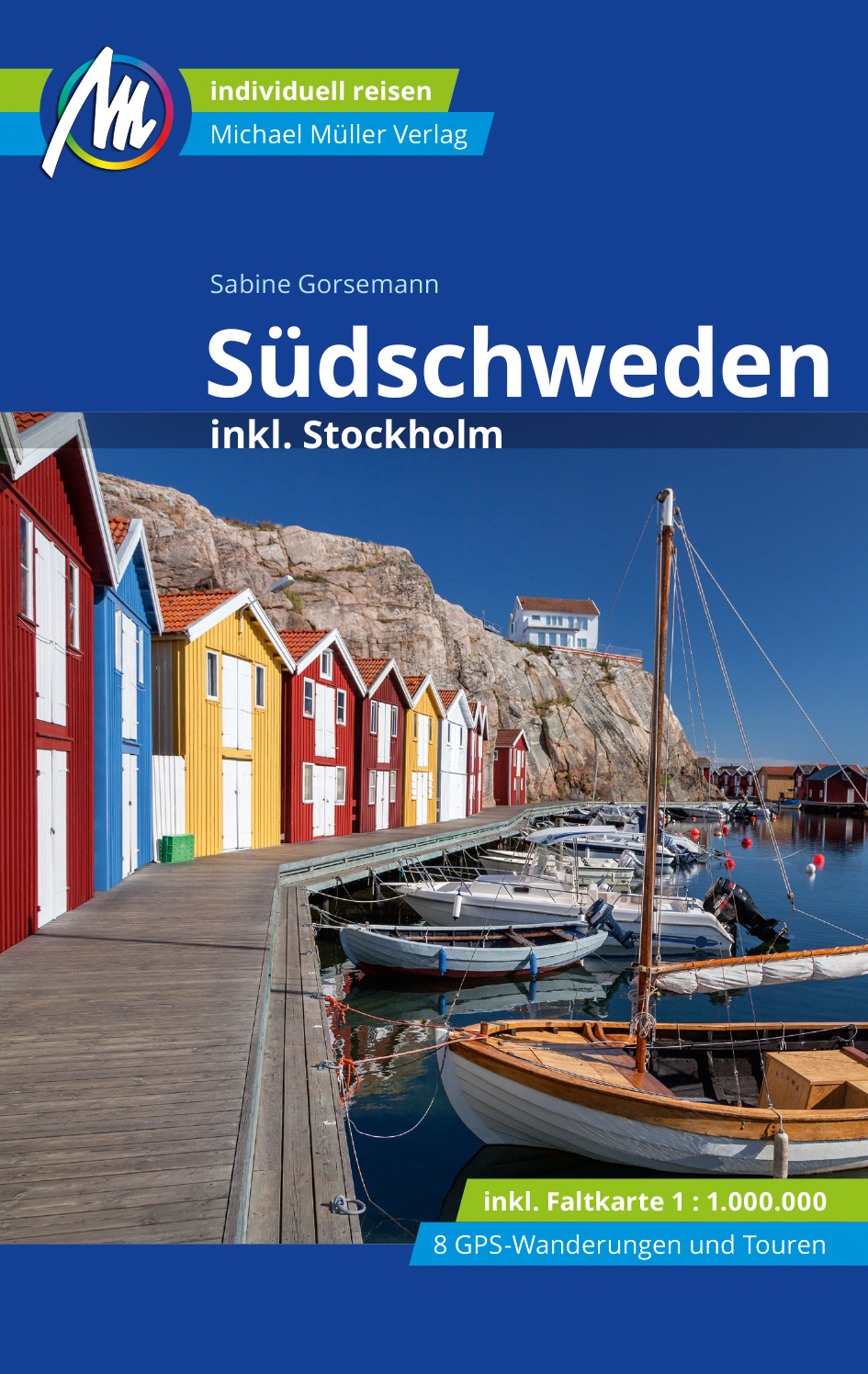
Reisgids Reiseführer Südschweden inkl. Stockholm | Michael Müller Verlag

Zeer gedegen duitse reisgids. Zowel achtergronden over cultuur, bevolking als landschap, maar ook veel praktische informatie over hoe je waar wat zou willen zien. Aandacht voor alle aspecten van de regio.

Anders reisen und dabei das Besondere entdecken

Mit den aktuellen Tipps aus den Michael-Müller-Reiseführern gestalten Sie Ihre Reise individuell, nachhaltig und sicher.


Pippi Langstrumpf und Michel aus Lönneberga sind für viele liebenswerte Kindheitserinnerungen. Sabine Gorsemann nimmt Sie an der Hand und zeigt Ihnen im Reiseführer „Schweden“ auf 552 Seiten mit 225 Farbfotos, was Schweden und Stockholm noch zu bieten hat. Dank 34 Karten verlaufen Sie sich im Urlaub garantiert nicht! Inklusive Wanderführer und virtuellen Wanderwegen: Acht GPS-Wanderungen und drei Fahrradtouren lassen Sie das Land und alles Sehenswerte der Region hautnah erleben.


Ökologisch, regional und nachhaltig wirtschaftende Betriebe sind kenntlich gemacht. Alles vor Ort für Sie recherchiert und ausprobiert. Zahlreiche eingestreute Kurz-Essays im Buch vermitteln interessante Hintergrundinformationen für Ihre Reise. Wandern Sie auf den Spuren der berühmten schwedischen Autorin Astrid Lindgren.


Dank der Geheimtipps von Sabine Gorsemann entdecken Sie neben den Must-Sees auch die verstecken Perlen der Region zwischen Malmö und Stockholm, zwischen Halland, Skåne und Sörmland. Die leckersten Restaurants? Die schönsten Ferienhäuser? Mit unserem Buch wissen Sie auf Ihrer Reise immer Bescheid! Bewährte Tipps und nützliche reisepraktische Ratschläge runden den Reiseführer "Schweden" ab. profil schreibt: "Der aktuellste und umfangreichste Führer durch Südschweden inklusive Stockholm und der Schäreninseln."


€ 23.95
Reisgids City Guide London - Londen | Lonely Planet

De perfecte reisgids voor zowel de georganiseerde als de zelfstandige reiziger. Naast een algemene inleiding van de stad vol met praktische informatie over hoe je er het beste kunt reizen: slapen, eten, vervoer, excursies ... alles kun je er in vinden.

Lonely Planet's London is our most comprehensive guide that extensively covers all the city has to offer, with recommendations for both popular and lesser-known experiences. Walk through history at Westminster Abbey, take a picnic to Hyde Park and experience a West End musical; all with your trusted travel companion.


Inside Lonely Planet's London Travel Guide:


Lonely Planet's Top Picks - a visually inspiring collection of the destination's best experiences and where to have them


Itineraries help you build the ultimate trip based on your personal needs and interests

Local insights give you a richer, more rewarding travel experience - whether it's history, people, music, landscapes, wildlife, politics


Eating and drinking - get the most out of your gastronomic experience as we reveal the regional dishes and drinks you have to try


Toolkit - all of the planning tools for solo travellers, LGBTQIA+ travellers, family travellers and accessible travel


Colour maps and images throughout

Language - essential phrases and language tips


Insider tips to save time and money and get around like a local, avoiding crowds and trouble spots


Covers the West End, City of London, South Bank, Kensington, Hyde Park, Clerkenwell, Shoreditch, Spitalfields, Docklands, Hampstead, Notting Hill, Greenwich, Brixton, Peckham, Richmond, Kew, Hampton Court and more!


€ 20.95
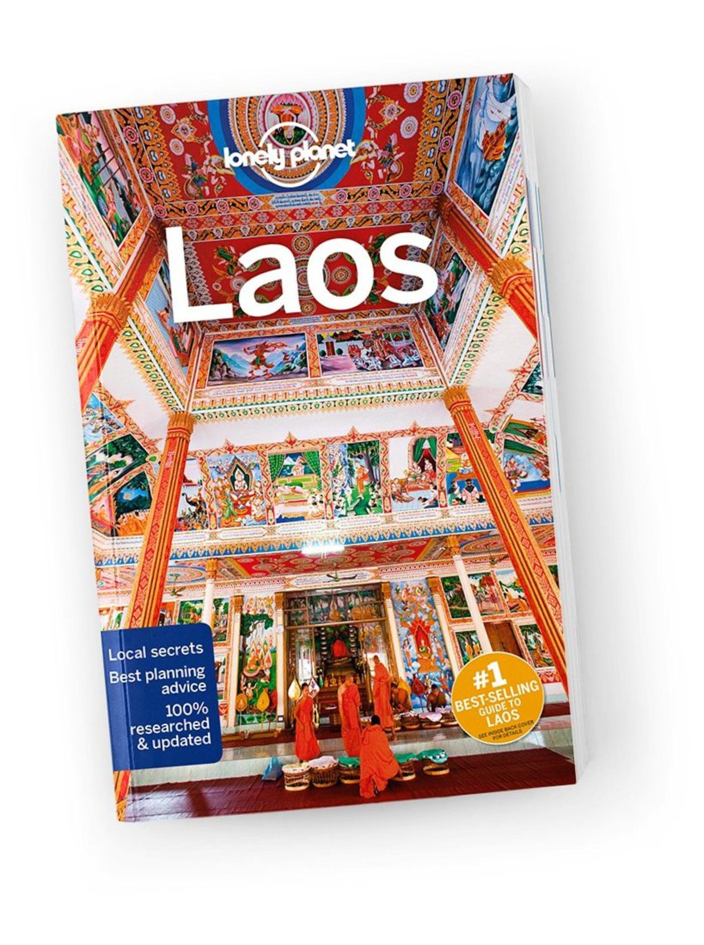
Reisgids Laos | Lonely Planet

De perfecte reisgids voor zowel de georganiseerde als de zelfstandige reiziger. Naast een algemene inleiding van het land / streek vol met praktische informatie over hoe je er het beste kunt reizen: slapen, eten, vervoer, excursies ... alles kun je er in vinden. Engelstalig. Lonely Planet

Vivid nature, voluptuous landscapes and a vibrant culture collide with a painful past and optimistic future to make Laos an enigmatic experience for the adventurous. Lonely Planet is your passport to Laos, with amazing travel experiences and the best planning advice.


Explore the backstreets of Luang Prabang by bike, soak up sun or grab a kayak on Si Phan Don, or embark on a community-based trek with a traditional homestay; all with your trusted travel companion. Get to the heart of Laos and begin your journey now!


Inside Lonely Planet’s Laos Travel Guide:


Colour maps and images throughout

Highlights and itineraries help you tailor your trip to your personal needs and interests

Insider tips to save time and money and get around like a local, avoiding crowds and trouble spots

Honest review for all budgets - eating, sleeping, sight-seeing, going out, shopping, hidden gems that most guidebooks miss

Cultural insights give you a richer, more rewarding travel experience - history, people & culture, environment

Coverage includes: Luang Prabang & Around, Northern Laos, Vientiane, Vang Vieng & Around, Central Laos, Southern Laos and more


€ 20.95
Reisgids City Guide Kyoto | Lonely Planet

De perfecte reisgids voor zowel de georganiseerde als de zelfstandige reiziger. Naast een algemene inleiding van de stad vol met praktische informatie over hoe je er het beste kunt reizen: slapen, eten, vervoer, excursies ... alles kun je er in vinden. Nu met pull-out map!

Kyoto is old Japan writ large: atmospheric temples, sublime gardens, traditional teahouses and geisha scurrying to secret liaisons. Lonely Planet will get you to the heart of Kyoto, with amazing travel experiences and the best planning advice.


Lonely Planet’s Kyoto is your passport to the most relevant, up-to-date advice on what to see and skip, and what hidden discoveries await you. Walk through thousands of vermillion entrance gates towards the summit of Fushimi Inari-Taisha; glimpse ‘old Japan’ in the lanes of Gion; and time your trip for the best cherry blossom and crimson maple leaves. All with your trusted travel companion. Get to the heart of destination and begin your journey now!


Inside Lonely Planet’s Kyoto:


Colour maps and images throughout

Highlights and itinerarieshelp you tailor your trip to your personal needs and interests

Insider tipsto save time and money and get around like a local, avoiding crowds and trouble spots

Essential info at your fingertips- hours of operation, phone numbers, websites, transit tips, prices

Honest reviews for all budgets- eating, sleeping, sightseeing, going out, shopping, hidden gems that most guidebooks miss

Cultural insightsprovide a richer, more rewarding travel experience - covering history, people, music, cuisine, politics, etiquette

Coverage Includes: Downtown Kyoto, Kyoto Station Area, Southern Higashiyama, Northern Higashiyama, Central Kyoto, Northwest Kyoto, Arashiyama & Sagano, Kitayama Area & North Kyoto


€ 27.95
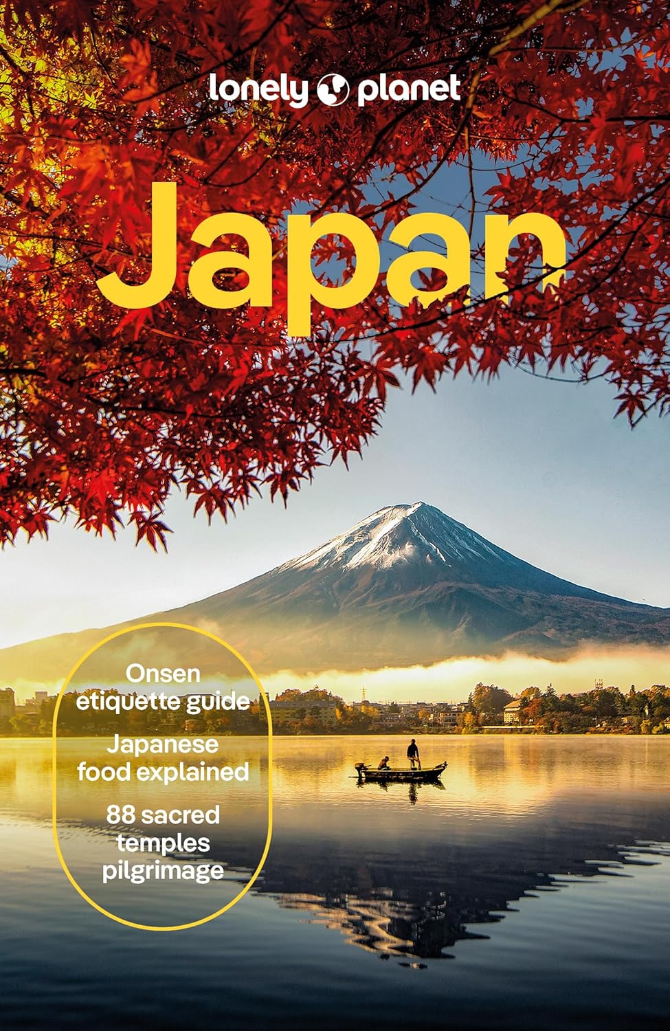
Reisgids Japan | Lonely Planet

Lonely Planet Japan 

De Lonely Planet Japan is de perfecte reisgids voor zowel de georganiseerde als de zelfstandige reiziger. Naast een algemene inleiding van het land / streek vol met praktische informatie over hoe je er het beste kunt reizen: slapen, eten, vervoer, excursies ... alles kun je er in vinden. Engelstalig. Lonely Planet Japan

Discover popular and off the beaten track experiences from visiting Yoshino for Japan's most famous cherry-blossom-viewing festival to sipping sake at a 300-year-old brewery in Niigata, and exploring the Unesco-listed streetscapes of Hagi. 


Build a trip to remember with Lonely Planet'sJapan Travel Guide:


Our classic guidebook format provides you with the most comprehensive level of information for planning multi-week trips

Updated with an all new structure and design so you can navigate Japan and connect experiences together with ease

Create your perfect trip with exciting itineraries for extended journeys combined with suggested day trips, walking tours, and activities to match your passions

Get fresh takes on must-visit sights including climbing Mt Fuji, visiting Sens?-ji, Tokyo's oldest temple, and experiencing the extravagant shrine of T?sh?-g?

Special features on onsen etiquette, Japanese food, and the 88 sacred temples pilgrimage

Expert local recommendations on when to go, eating, drinking, nightlife, shopping, accommodation, adventure activities, festivals, and more

Essential information toolkit containing tips on arriving; transport; making the most of your time and money; LGBTIQ+ travel advice; useful words and phrases; accessibility; and responsible travel

Connect with Japanese culture through stories that delve deep into local life, history, and traditions 

Inspiring full-colour travel photography and maps including a pull out map of Tokyo

Covers Tokyo, Mt Fuji & around Tokyo, Central Honsh? & the Japan Alps, Kyoto, Kansai, Hiroshima & Western Honsh?, Northern Honsh?, Sapporo & Hokkaid?, Shikoku, Ky?sh?, Okinawa & the Southwest Islands


€ 19.95
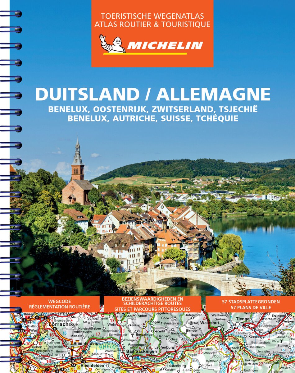
Wegenatlas Duitsland Benelux Zwitserland Oostenrijk Tsjechie | Michelin

Zoals je van deze landkaart van Michelin mag verwachten is deze wegenkaart Duitsland zeer overzichtelijk en heeft een duidelijk helder kaartbeeld. De kaart geeft uitgebreid toeristische informatie weer.

De toeristische wegenatlas Michelin Duitsland 2022 bevat wegenkaarten van Duitsland, Benelux, Oostenrijk, Zwitserland en Tsjechië. De schalen van de wegenkaarten verschillen per land. De wegenatlas Duitsland bevat wegcodes, 57 stadsplattegronden, een plaatsnamenregister, bezienswaardigheden en schilderachtige routes. De spirale binding is gemakkelijk in gebruik en maakt deze atlas ideaal!

Abonneer op