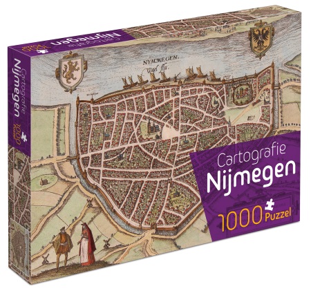
Prachtige Cartografische puzzel van de stad Nijmegen gebaseerd op een stadsplattegrond van Guicciardini uit ca. 1560. Rondom de antieke kaart zie je foto's van Nijmegen uit het begin van de 20e eeuw.
Aantal puzzelstukjes: 1000
Formaat: 66 x 47 cm

Prachtige Cartografische puzzel van de stad Nijmegen gebaseerd op een stadsplattegrond van Guicciardini uit ca. 1560. Rondom de antieke kaart zie je foto's van Nijmegen uit het begin van de 20e eeuw.
Aantal puzzelstukjes: 1000
Formaat: 66 x 47 cm

Praktische fietsgids met detailkaarten, ingetekende route, informatie over overnachten en fietsenmakers, zwaarte en hoogteprofiel. In spiraalbinding, Duitstalig. Met watervaste geplastificeerde kaarten!
Radrunde durch das Fränkische Seenland, den Naturpark Altmühltal und die Ferienregion Romantisches Franken
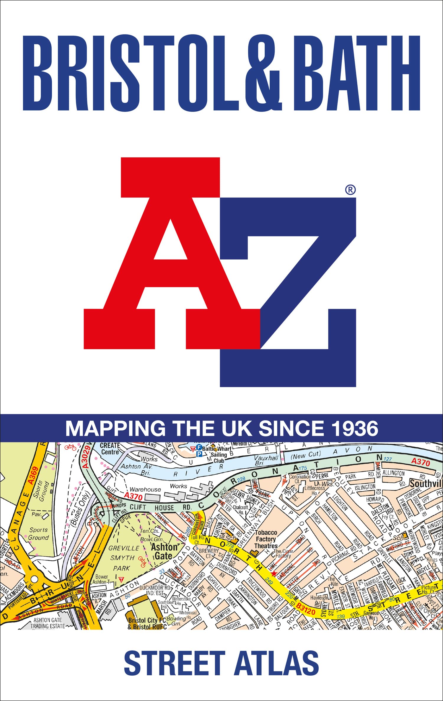
Navigate your way around Bristol and Bath with this detailed and easy-to-use A-Z Street Atlas.
Printed in full-colour, paperback format, this atlas contains 104 pages of continuous street mapping. More than 12,800 streets indexed. Large scale 6.25 inches to 1 mile map.
Areas covered include: Avonmouth, Bradley Stoke, Filton, Keynsham, Kingswood, Mangotsfield, Portishead, Yate, Frampton Cotterell, Chipping Sodbury, Oldland, Swainswick, Batheaston, University of Bath, Combe Down, Bath Spa University, Saltford, Whitchurch, Bedminster, Long Ashton, Easton-in-Gordano, Cribbs Causeway.
Also included are large scale city centre maps of both Bristol and Bath and a postcode map of the atlas area.
Postcode districts, one-way streets and safety camera locations with their maximum speed are featured on the street mapping.
A comprehensive index lists streets, selected flats, walkways and places of interest, place, area and station names. Additional healthcare (hospitals, walk-in centres and hospices) and transport connections are indexed as well.
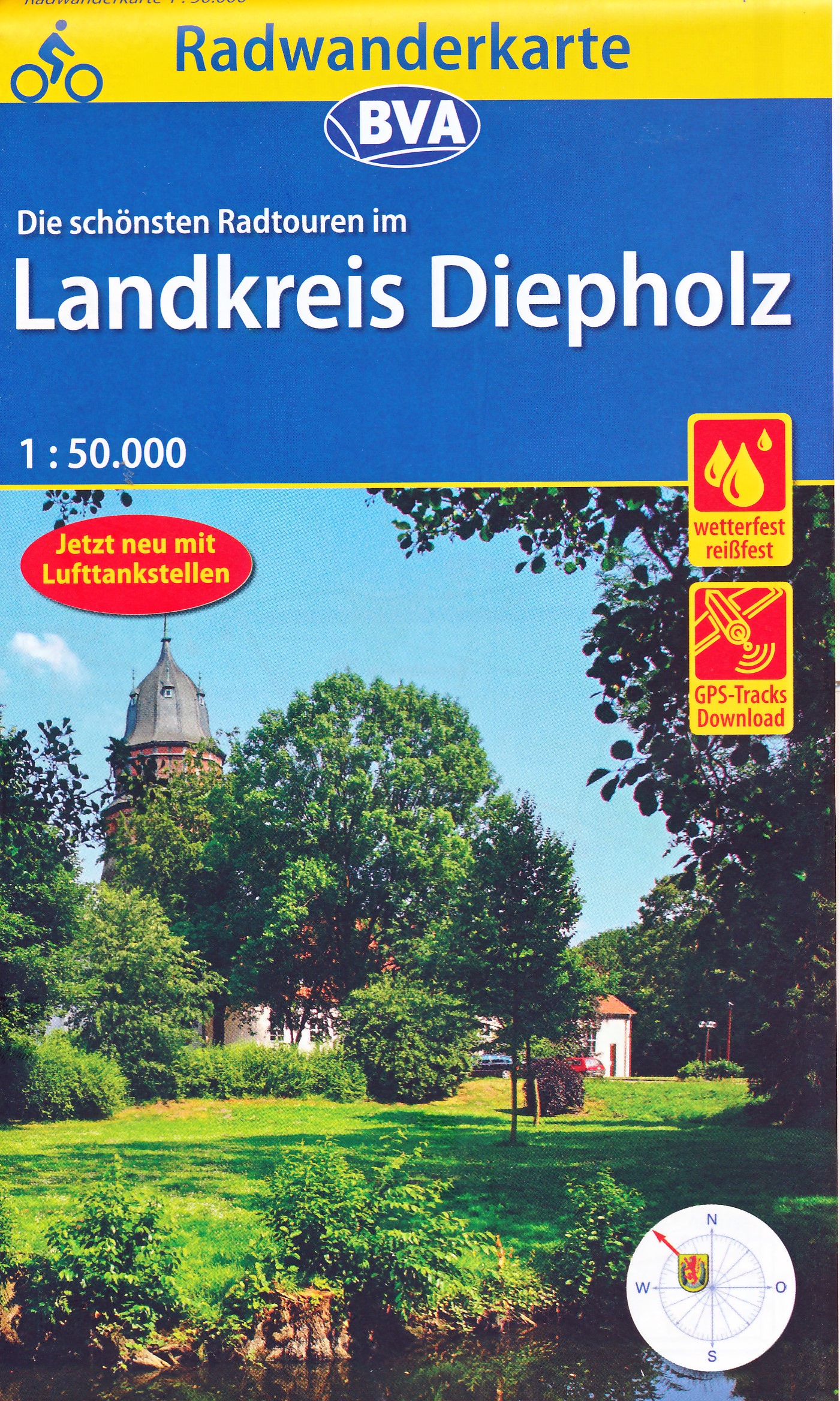
Heel duidelijke fietskaart van Landkreis Diepholz. Afstanden, fietspaden, verkeersluwe wegen, fietsenmakers, restaurants ... alles staat er op !
Radwandern im Landkreis Diepholz
ideal für Tagesausflüge und Wochenendtouren
Die Fahrradkarte umfasst das Gebiet Achim, Weyhe, Syke, Bassum, Twistringen, Vechta, Sulingen, Diepholz, Rahden, mit Dümmer See und Hunte.
mit dem speziellen Radwegenetz und allen Radfernwegen der Region
mit ausgewählten Straßennamen zur besseren Orientierung
mit UTM-Koordinatengitter zur Entfernungsmessung und Standortbestimmung mit GPS-Geräten
wetterfestes und reißfestes Papier
zusätzliche kostenfreie Online-Angebote:
gpx-Tracks der Themenrouten, Radfernwege und Tourenvorschläge zum Download
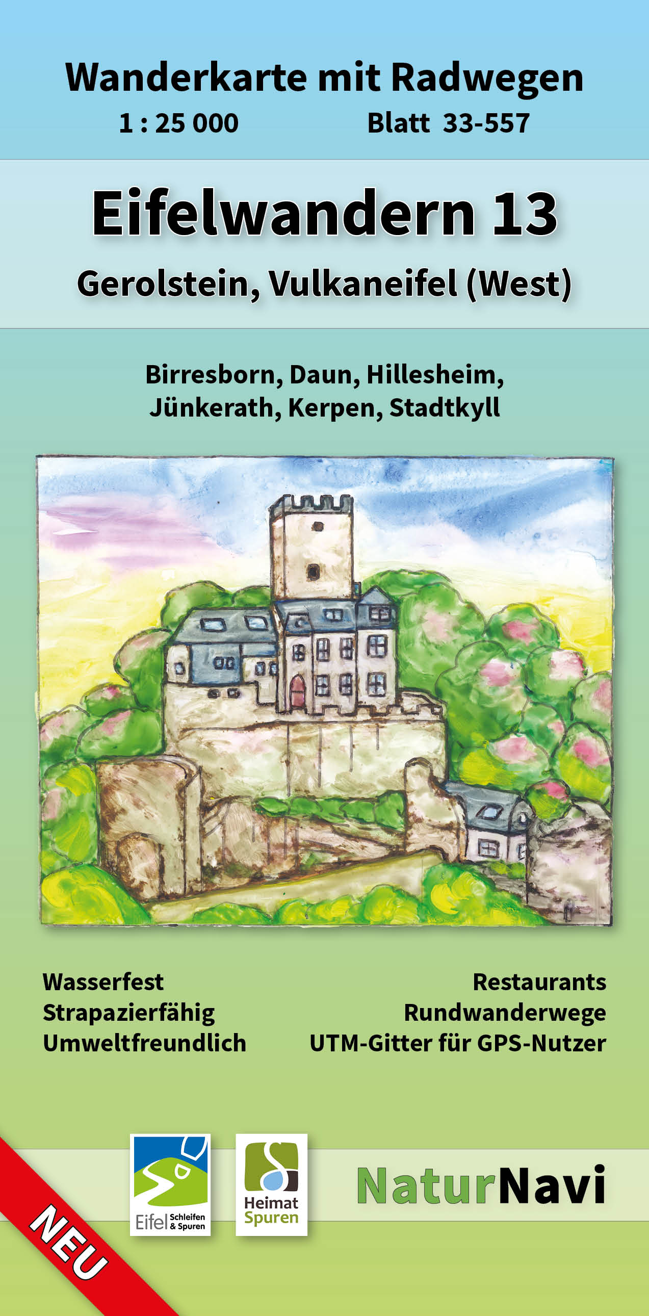
Uitstekende geplastificeerde wandelkaart van de Eifel
• Sehr genaue und aktuelle topografische Kartographie im Ideal-Maßstab 1 : 25 000
• Detaillierte Wander- und Radwege inkl. Rund- und Fernwege
• 3D-Darstellung der Landschaft und Höhenlinien im 10 m Abstand inkl. Höhenlinienzahlen
• Die Verkehrsstruktur von Bahn, S-Bahn, Straßenbahn sowie Bushaltestellen sind übersichtlich enthalten
• Viele Einkehrmöglichkeiten (Restaurants) sind dargestellt und namentlich bezeichnet
• Darstellung der Wanderwege mit den Symbolen der Ausschilderung
• Parkplätze, Parkflächen und Parkhäuser sind blau gekennzeichnet
• Die farbliche Abstimmung ist lebhaft, an der Realität orientiert und angenehm für das Auge
• Gedruckt auf wasserfestem, strapazierfähigem und umweltfreundlichem Papier
• UTM-Koordinatennetz für GPS-Nutzer mit feinem 1000 m Abstand
• Schnellsuch-Register für Städte, Gemeinden und Ortsteile
• Inklusive Übersichtskarte
Plaatsen op de kaart
Stadtkyll, Jünkerath, Gönnersdorf, Lissendorf, Steffeln, Oberbettingen, Müllenborn, Büdesheim, Birresborn, Oberstadtfeld, Pützborn, Daun, Kirchweiler, Gerolstein, Pelm, Berndorf, Wiesbaum, Feusdorf, Leudersdorf, Niederehe, Nohn, Brück, Dreis, Dockweiler
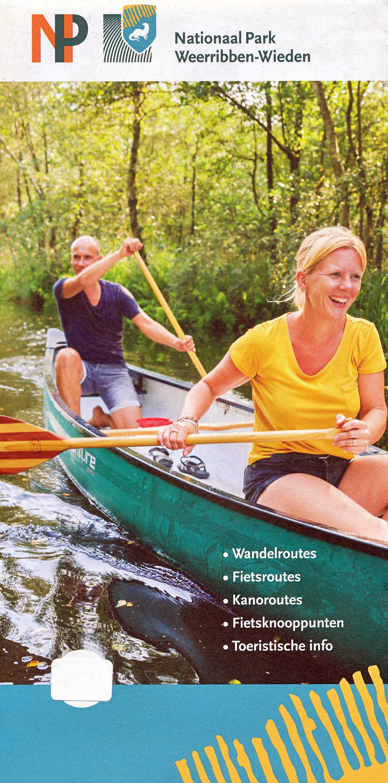
Duidelijke en gedetailleerde kaart van Nationaal Park De Weeribben - De Wieden met alle plaatsen, campings, verblijfsrecreatie, havens, horeca maar ook met ingetekende wandelrouts, kanoroutes en fietsroutes met de fietsknooppunten. Achterop de kaart nog eens extra uitleg van bezienswaardigheden en natuur.
Met plaatsen als Ossenzijl, Kalenberg, Steenwijk, Blokzijl, Vollenhove, Zwartsluis, en Giethoorn.

Duidelijke wegenkaart van Marco Polo: alle wegen, zowel de verharde als belangrijke onverharde wegen zijn weergegeven. Mooie toeristisch interessante wegen die de moeite waard zijn, zijn groen gearceerd. Veel toeristische informatie is toegevoegd zoals de nationale parken, campings, kastelen en vliegvelden. Afstanden tussen belangrijke steden en benzinestations staan ook op de kaart. Een plaatsnamenregister ontbreekt niet.
---
This Marco Polo map features really easy to read cartography. Topography is highlighted with relief shading and loads of spot heights and the road network is clearly shown with roads ranging from motorways all the way through to minor secondary roads. The map also clearly indicates airports, places of interest, scenic/tourist routes, view points etc.
The map includes a booklet attached to the cover that contains some useful information and a very extensive index that covers locations, places of interest and geographical features. Also included are a distance/driving time chart and a fold out flap on the cover with an overview map of the region covered.
A unique feature of the Marco Polo maps is "mark it" stickers, a set of seven reusable stickers (ie they don't damage the map when removed and placed elsewhere) that can be used to highlight interesting places, the route you plan to take (to make navigation easier), or whatever you want really.
The legend is in a multitude of languages including English.
---
Die Karten bestechen durch eine leicht lesbare, neue Kartografie, in der durchgängig landschaftlich schöne Strecken und Orte markiert sind. Die Reiseroute gefunden? Mit den in der Umschlagklappe untergebrachten, selbstklebenden mark-it-Stickern lässt sich das angepeilte Ziel hervorheben und somit beim nächsten Blick auf die Karte leicht wiederfinden. Schon in der im Kartendeckel befindlichen, ausklappbaren Übersichtskarte sind die schönsten Orte mit gelben oder grünen Markierungen unterlegt, um unterwegs auch wirklich nichts zu verpassen. Die Distanzenkarte sagt, wie weit es noch ist bis zur nächsten größeren Stadt. Und mit den wichtigsten Cityplänen lässt es sich auch im Großstadtdschungel leicht navigieren. Wo alle Orte auf der Karte zu finden sind, ist im Registerheft nachzuschlagen.
Dé gids als het gaat om achtergrondinformatie en prachtige foto’s. Kwalitatief van een hoog niveau, zeer informatief.
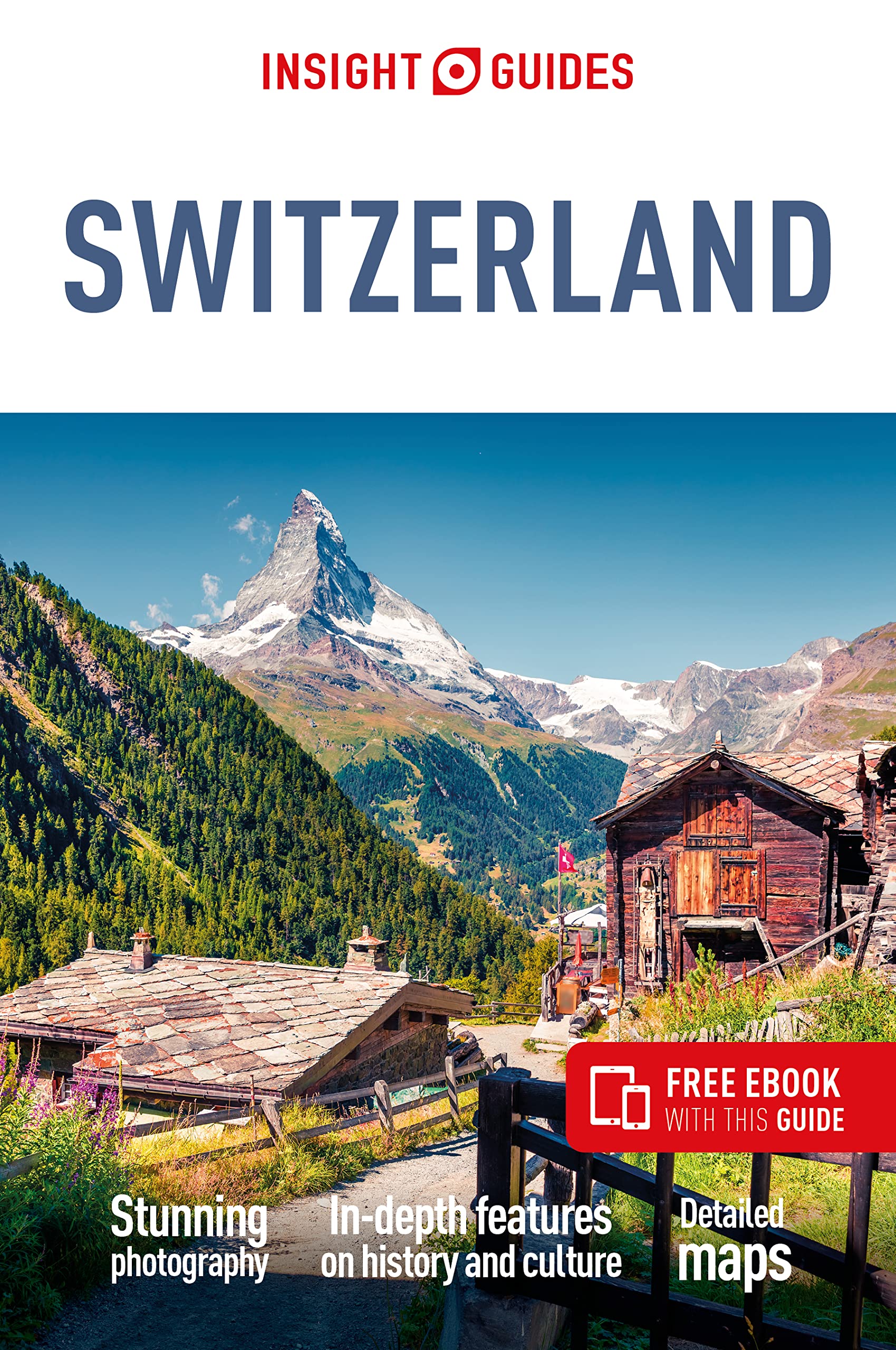
Insight Guide to Switzerland is a pictorial travel guide in a magazine style providing answers to the key questions before or during your trip: deciding when to go to Switzerland, choosing what to see, from exploring Lake Geneva to discovering Ticino or creating a travel plan to cover key places like Zurich and the Bernese Oberland. This is an ideal travel guide for travellers seeking inspiration, in-depth cultural and historical information about Switzerland as well as a great selection of places to see during your trip.
The Insight Guide Switzerland covers: The Bernese Oberland, the West, Lake Geneva, the Valais, Ticino, the Southeast, Zurich, the Northeast, Basel, the Jura, the Luzern Lowlands and Central Switzerland
In this travel guide you will find:
IN-DEPTH CULTURAL AND HISTORICAL FEATURES
Created to explore the culture and the history of Switzerland to get a greater understanding of its modern-day life, people and politics
BEST OF
The top attractions and Editor's Choice highlighting the most special places to visit around Switzerland
CURATED PLACES, HIGH QUALITY MAPS
Geographically organised text cross-referenced against full-colour, high quality travel maps for quick orientation in Basel, the Luzern Lowlands and many more locations in Switzerland.
COLOUR-CODED CHAPTERS
Every part of Switzerland, from the Bernese Oberland to Zurich has its own colour assigned for easy navigation
TIPS AND FACTS
Up-to-date historical timeline and in-depth cultural background to Switzerland as well as an introduction toSwitzerland's Food and Drink and fun destination-specific features.
PRACTICAL TRAVEL INFORMATION
A-Z of useful advice on everything from when to go to Switzerland, how to get there and how to get around, as well as Switzerland's climate, advice on tipping, etiquette and more.
STRIKING PICTURES
Features inspirational colour photography, including the stunning Matterhorn and the spectacular Lake Geneva.
FREE EBOOK
Free eBook download with every purchase of a printed book to access all the content from your phone or tablet, for on-the-road exploration.
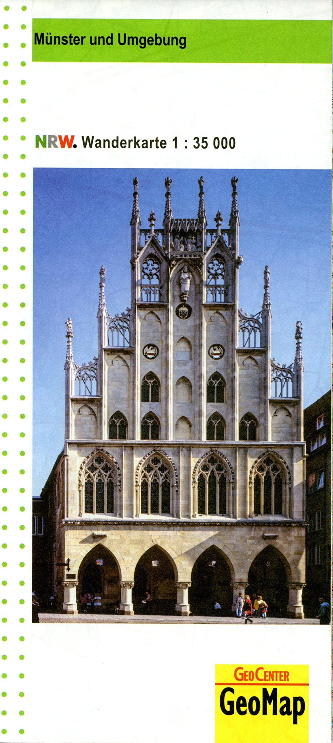
Wanderkarte Münster und Umgebung 1:35.000 auf Grundlage der amtlichen topographischen Geobasisdaten des Landes NRW und dem Freizeitkataster NRW. Topographische Karte mit Wanderwegen und Freizeitinformationen.

Toeristische wegenkaart van een deel van Frankrijk. Op de ene zijde een een Michelin kaart afgebeeld op een schaal van 1:300.000, het gaat hier om de originele Michelin wegenkaart met alle postieve aspecten die hier bij horen: duidelijk kaarttbeeld met toch veel detail. Daarnaast enkele plattegronden (het centrum) van de belangrijkste steden in dat gebied. Op de achterzijde (in het Frans) vindt u beknopt de hoogetepunten beschreven van de streek met leuke dingen om te doen of te zien.
Deze kaart is gedrukt op speciaal papier en is daardoor scheur- en watervast: een duurzame kaart!
Aix-en-Provence, Arles, Avignon, Camargue, Marseille, Montélimar, Montpellier, Nîmes, Provence, Provence-Alpes-Côte d'Azur