€ 16.90
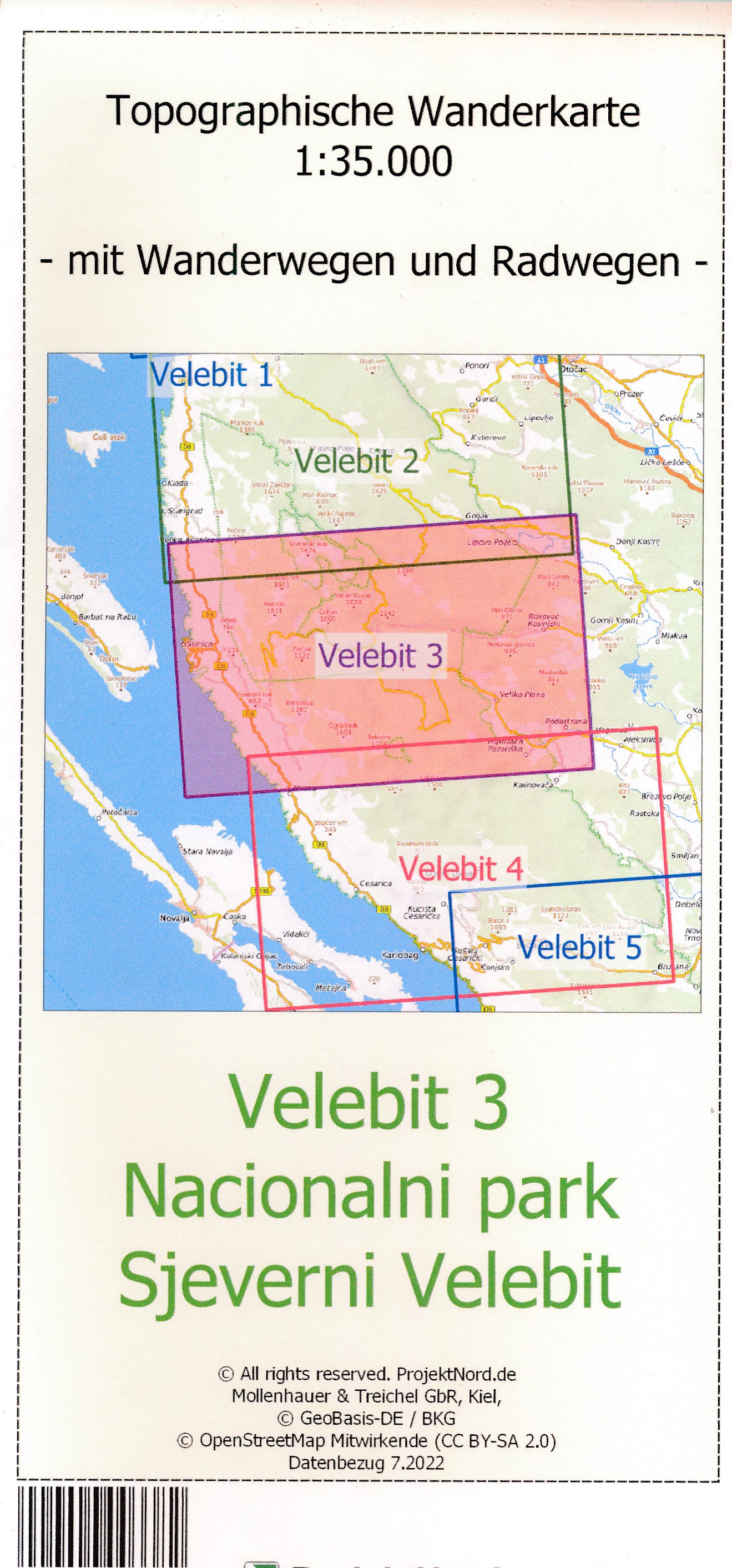
Wandelkaart Velebit 3 - Nationalpark Nördlicher Velebit | Projekt Nord

Detaillierte Wanderkarte des Gebirges Velebit in Kroatien auf der Grundlage der OpenStreetmap. Enthält Wanderwege und Radwanderwege soweit in der Datenbasis vorhanden


Gedetailleerde wandelkaart van  Velebit gebergte in Kroatië op basis van OpenStreetmap. Bevat wandel- en fietspaden voor zover beschikbaar in de database

€ 16.90
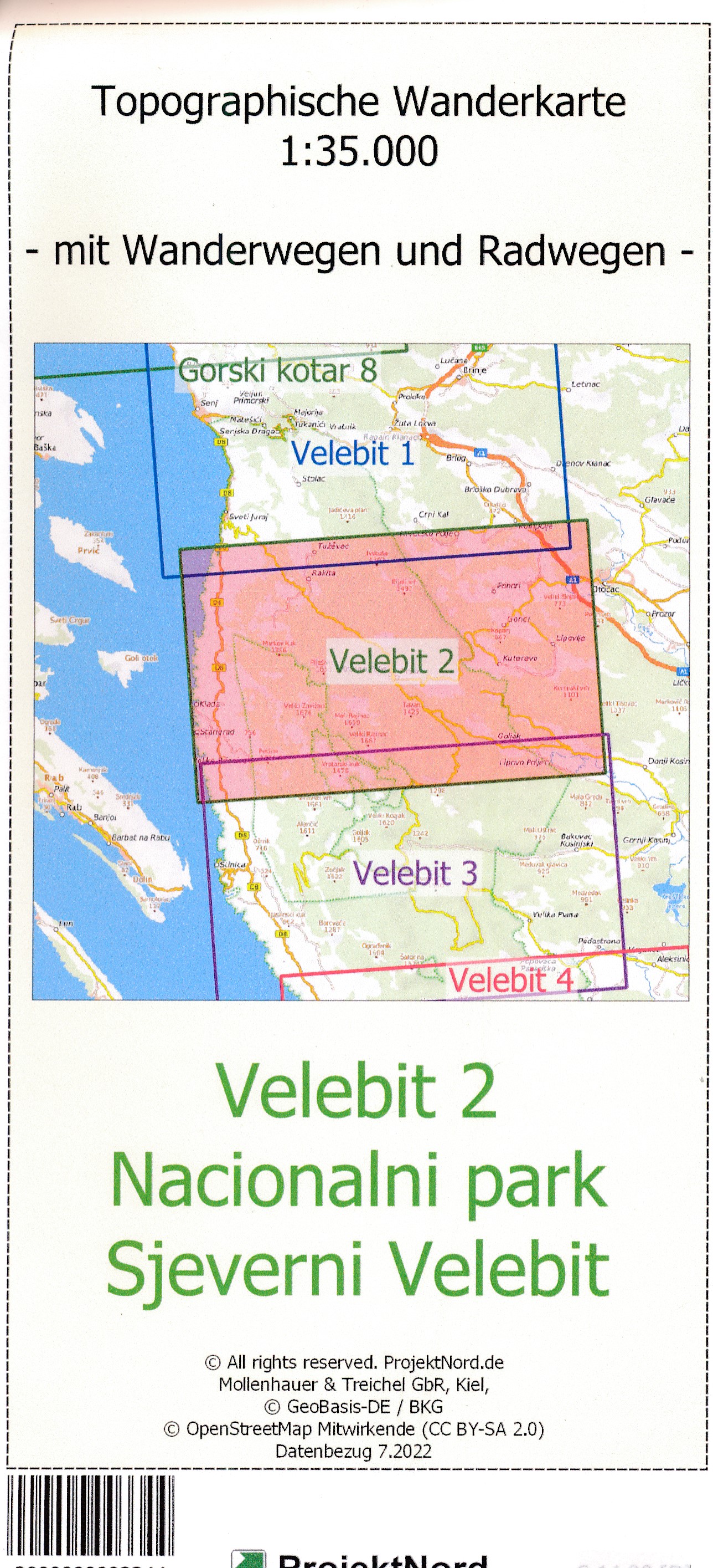
Wandelkaart Velebit 2 - Nationalpark Nördlicher Velebit | Projekt Nord

Detaillierte Wanderkarte des Gebirges Velebit in Kroatien auf der Grundlage der OpenStreetmap. Enthält Wanderwege und Radwanderwege soweit in der Datenbasis vorhanden

Gedetailleerde wandelkaart van  Velebit gebergte in Kroatië op basis van OpenStreetmap. Bevat wandel- en fietspaden voor zover beschikbaar in de database

€ 13.95
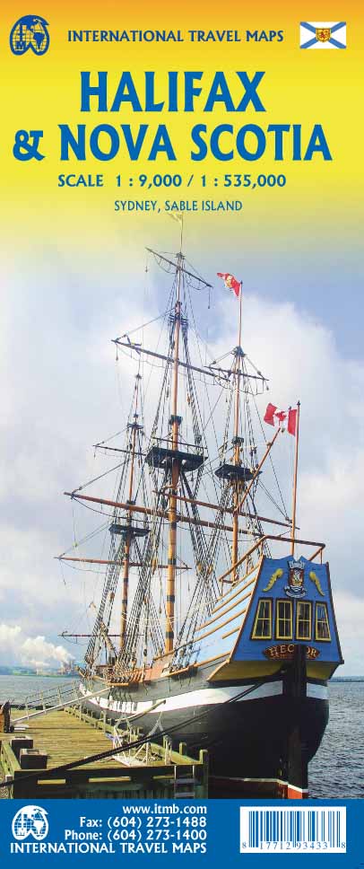
Waterkaart Halifax & Nova Scotia | ITMB

Halifax & Nova Scotia Travel Reference Map 1:9,000/1:535,000


Halifax was founded by the British navy in 1745 as a base to patrol the North Atlantic and to place pressure on the nearby French possessions of Acadia and Quebec. It has an excellent harbour, and is still the main base for the Canadian naval fleet. The city is also the eastern terminus of the Trans-Canada rail network and a major harbour for shipping goods to Europe. For modern travellers, it is also a major port call for cruise ships and its airport is convenient for flights from Europe. The urban area is actually two separate cities, with Halifax on the western side of the harbour and Dartmouth on the eastern side. Both are shown in excellent detail on this map. The downtown area of Halifax is the most historic part of the city, with the citadel dominating the landscape (well worth a visit!). The second side is a good map of Nova Scotia and most of Prince Edward Island. It isn’t as detailed as our double-sided map of the province, but it is quite adequate for those spending a few days seeing the highlights of one of Canada’s most popular travel destinations. A large inset of lovely Cape Breton Island is included, and another of Sydney, from where ferries to Newfoundland depart.

€ 22.50
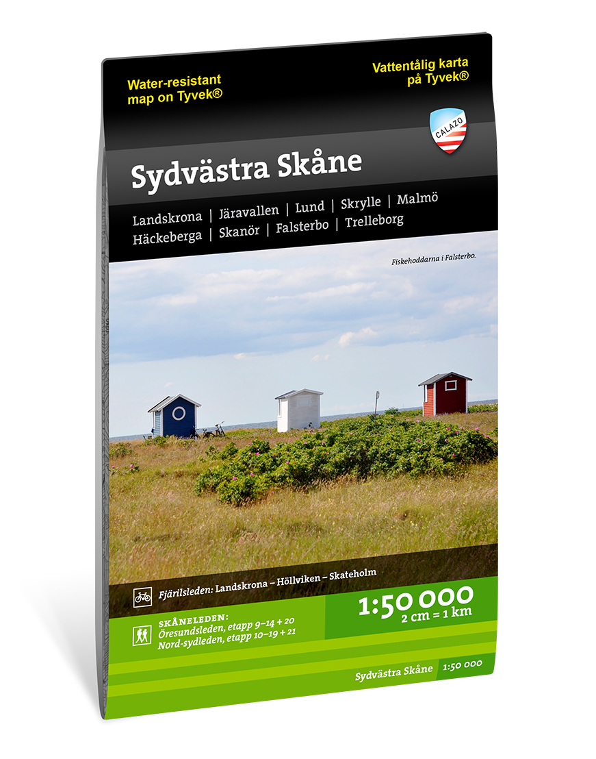
Wandelkaart - Fietskaart Terrängkartor Skåne Sydvästra - Skane zuidwest | Zweden | Calazo

Calazo, een kaartenmaker uit Zweden, maakt heel goede wandelkaarten van bekende en minder bekende gebieden in Scandinavie. Wandelroutes, berghutten, bruggen en andere kenmerken in het landschap staan duidelijk ingetekend, de kaarten zijn zeer betrouwbaar en gedrukt op Tyvek, een watervast en superlicht materiaal wat echt duurzaam is en lang meegaat.


Landskrona, Järavallen, Lund, Skrylle, Malmö, Häckeberga, Skanör, Falsterbo, Trelleborg


UItgever:


We hebben vier kaartbladen van Skåne ontwikkeld met het buitenleven centraal. Naast bijgewerkte informatie over de huidige route van de Skåneleden en de fietspaden Kattegattleden en Fjärilsleden, hebben we een groter aantal lokale wandel- en mountainbikeroutes toegevoegd.


We drukken onze kaarten altijd af op een materiaal genaamd Tyvek. Het is gemaakt van een synthetische vezel die de kaart volledig ongevoelig maakt voor water en zeer scheurvast is. Een tyvek-kaart scheurt niet in de vouwen en verliest geen kleur als je hem gebruikt.


€ 22.50
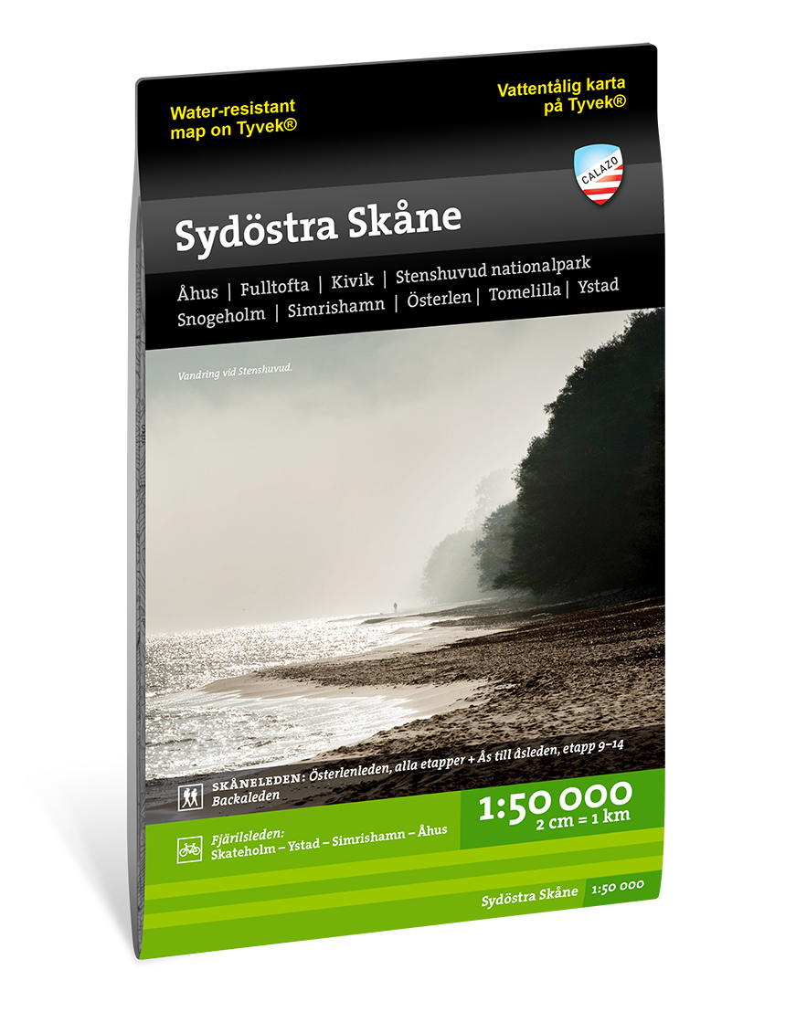
Wandelkaart - Fietskaart Terrängkartor Skåne Sydöstra - Skane zuidoost | Zweden | Calazo

Calazo, een kaartenmaker uit Zweden, maakt heel goede wandelkaarten van bekende en minder bekende gebieden in Scandinavie. Wandelroutes, berghutten, bruggen en andere kenmerken in het landschap staan duidelijk ingetekend, de kaarten zijn zeer betrouwbaar en gedrukt op Tyvek, een watervast en superlicht materiaal wat echt duurzaam is en lang meegaat.

Åhus, Fulltofta, Kivik, Stenshuvud nationalpark, Snogeholm, Simrishamn, Österlen, Tomelilla, Ystad

uitgever:


We hebben vier kaartbladen van Skåne ontwikkeld met het buitenleven centraal. Naast bijgewerkte informatie over de huidige route van de Skåneleden en de fietspaden Kattegattleden en Fjärilsleden, hebben we een groter aantal lokale wandel- en mountainbikeroutes toegevoegd.


We drukken onze kaarten altijd af op een materiaal genaamd Tyvek. Het is gemaakt van een synthetische vezel die de kaart volledig ongevoelig maakt voor water en zeer scheurvast is. Een tyvek-kaart scheurt niet in de vouwen en verliest geen kleur als je hem gebruikt.

€ 22.50
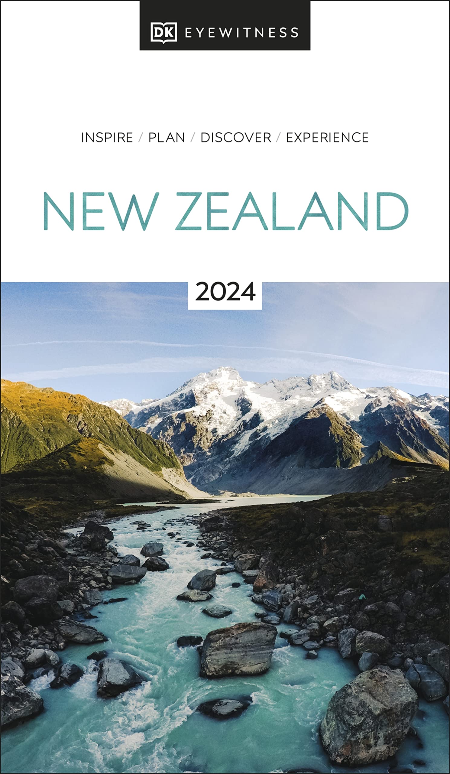
Reisgids New Zealand - Nieuw Zeeland | Eyewitness

Prachtig geillustreerde reisgids met o.a. 3D tekeningen, fraaie kaarten en geweldige foto’s. Daarnaast uitgebreide achtergrondbeschrijvingen. Echt om in de stemming te komen! Groot formaat gids. Engelstalig

Whether you're seeking your next adrenaline-fix, the best place to taste traditional Maori cuisine, or the perfect geothermal pool to unwind in, your DK Eyewitness travel guide makes sure you experience all that New Zealand has to offer.

An explosion of dramatic scenery, this far-flung Pacific island has it all: mammoth mountains, icy-blue glacial lakes, unspoiled coastlines, idyllic vineyards and cool, cultural cities. From the subtropical kauri forests of the North Island to the remote fjords of the South Island, New Zealand offers countless opportunities for adventure.

Our updated guide brings New Zealand to life, transporting you there like no other travel guide does with expert-led insights, trusted travel advice, detailed breakdowns of all the must-see sights, photographs on practically every page, and our hand-drawn illustrations which place you inside the country's iconic buildings and neighborhoods. DK Eyewitness New Zealand is your ticket to the trip of a lifetime.

Inside DK Eyewitness New Zealand you will find:

- A fully-illustrated top experiences guide: our expert pick of New Zealand's must-sees and hidden gems
- Accessible itineraries to make the most out of each and every day
- Expert advice: honest recommendations for getting around safely, when to visit each sight, what to do before you visit, and how to save time and money
- Color-coded chapters to every part New Zealand, from Northland to Southland, the Auckland to Canterbury
- Practical tips: the best places to eat, drink, shop and stay
- Detailed maps and walks to help you navigate the region country easily and confidently
- Covers: The North Island, Auckland, Northland, The Central North Island, Wellington and the South, Marlborough and Nelson, Canterbury and the West Coast, Otago and Southland.
.

About DK Eyewitness:

At DK Eyewitness, we believe in the power of discovery. We make it easy for you to explore your dream destinations. DK Eyewitness travel guides have been helping travellers to make the most of their breaks since 1993. Filled with expert advice, striking photography and detailed illustrations, our highly visual DK Eyewitness guides will get you closer to your next adventure. We publish guides to more than 200 destinations, from pocket-sized city guides to comprehensive country guides. Named Top Guidebook Series at the 2020 Wanderlust Reader Travel Awards, we know that wherever you go next, your DK Eyewitness travel guides are the perfect companion

€ 14.95
Reisverhaal Call of the Kingfisher | Nick Penny

Call of the Kingfisher is the enchanting debut from composer and wildlife recordist, Nick Penny. This love letter to a short stretch of Northamptonshire's River Nene celebrates all the wild things that live there, especially the kingfishers. Uniquely, it comes with bonus audio content to complement the text, accessed via QR codes. For four decades, Penny has walked beside the river at Oundle - a lovely but little-known part of England where where Clark Gable and thousands of American airmen were stationed during World War II, and where bandleader Glenn Miller performed his final airfield concert before going missing in action. For a whole year, Penny gave the waterway all the time it asked for. The more attention he gave, the more he saw the kingfishers and heard their high whistling calls.

Call of the Kingfisher relates a year by the river, the author's experiences there and the people he meets. Other strands weave around the feathered protagonist: explorations of history and landscape, from Roman and Bronze Age sites to watermills and centuries-old stone churches; homages to naturalists who lived nearby; forest dawns and dusks listening to the precious song of nightingales. But the background tapestry is the riverbank's sights and sounds, and its greens and browns, shot through with the blue and orange threads of a kingfisher's glowing feathers. As a composer and wildlife recordist, Penny has a deep interest in sounds in the natural environment. He uses the local landscape and wildlife sounds as inspiration, and brings fresh insights into countryside sounds.

The book includes access to an hour of high-quality birdsong recordings made alongside the River Nene - audio soundbites of nature's riches, from kingfishers and nightingales to owls and cuckoos. This is a book about the things that can be seen and heard when we approach nature with patience and curiosity. It celebrates people who have used that focus to help preserve wildlife and pass on their knowledge to future generations. Above all, Call of the Kingfisher serves as a call to appreciate what we've got, wherever we are, and to use our ears as much as our eyes when we experience the natural world.

€ 12.50
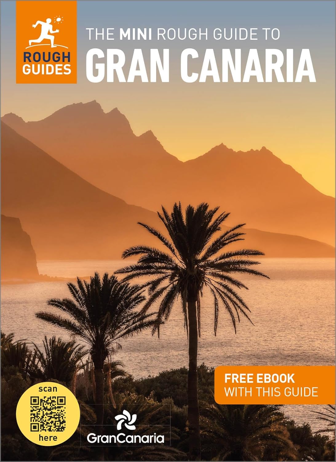
Reisgids Mini Rough Guide Gran Canaria | Rough Guides

Een kleinere versie in zakformaat van de grotere versies van de Rough Guides. Als altijd weer vol met goede informatie over cultuur en praktische zaken. Achterin kleine plattegronden.

This pocket-sized travel guide to Gran Canaria is a convenient, quick-reference companion to discovering what to do, what to see and how to get around the destination. It covers top attractions like Las Palmas de Gran Canaria, as well as hidden gems, including Parque San Telmo. Our Gran Canaria guide book will save you time and enhance your exploration of this fascinating island.


This Gran Canaria travel guide has been fully updated post-COVID-19. This Mini Rough Guide to Gran Canaria covers: Las Palmas de Gran Canaria; the East; the Southern Resorts; Going West; the North; the Central Peaks. In this guide book to Gran Canaria you will find:RECOMMENDATIONS FOR EVERY TYPE OF TRAVELLERExperiences selected for every kind of trip to Gran Canaria, from cultural explorations in Barranco de Guayadeque, to family activities in child-friendly places, like Teror, or chilled-out breaks in popular tourist areas, like the Southern resorts.


TOP TEN ATTRACTIONSThis Gran Canaria travel guide covers the destination's top ten attractions not to miss, including and a Perfect Day itinerary suggestions. COMPACT FORMATCompact, concise, and packed with essential information, with a sharp design and colour-coded sections, this guide book to Gran Canaria is the perfect on-the-move companion when you're exploring Gran Canaria. HISTORICAL AND CULTURAL INSIGHTSIncludes an insightful overview of landscape, history and culture of Gran Canaria.


WHAT TO DODetailed description of entertainment, shopping, nightlife, festivals and events, and children's activities. PRACTICAL MAPSHandy colour maps on the inside cover flaps of this travel guide to Gran Canaria will help you find your way around. PRACTICAL TRAVEL INFORMATIONPractical information on eating out, including a handy glossary and detailed restaurant listings, as well as a comprehensive A-Z of travel tips on everything from getting around to health and tourist information.


STRIKING PICTURESInspirational colour photography throughout. FREE EBOOKFree eBook download with every purchase of this Gran Canaria guide book to access all content from your phone or tablet for on-the-road exploration.

€ 22.95
Wandelgids Kompass Jouw Ogenblik Madeira | 62Damrak

Deze beetje glossy wandelgids beschrijft 30 wandeltochten, ingedeeld naar gemakkelijk, gemiddeld en zwaar. De nadruk ligt op gemakkelijk, wat meestal wandelingen zijn van ongeveer 3 uur zonder enorme hoogteverschillen. Het zijn goede wandelingen voor de beginnende of minder ambitieuze wandelaar die wel op deze manier het gebied wil leren kennen. De foto's geven het geheel een 'lekker' sausje waar je wel enthousiast van wordt. Naast een goede beschrijving van de wandeltocht met hoogteprofiel en wat andere praktische informatie is elke wandeling voorzien van een kaartfragment met schaal 1:50.000

De Kompass-serie ‘Jouw Ogenblik’ combineert voor het eerst wandelgids en fotoboek: adembenemende foto’s en gedetailleerde routebeschrijvingen in Kompass-kwaliteit. Dit is hoe dromen herinneringen worden, en verlangens momenten die je nooit meer vergeet! Ontdek de vele geheimen van deze regio op 30 verrassende, fascinerende wandelroutes, waarbij jouw ogenblik al begint als je nog zit te dromen op de bank. Trek je schoenen aan, pak je rugzak in en neem je camera mee – want je tijd is wat je er zelf van maakt! Alle routes zijn ook in GPX te downloaden van de Kompass-website.

€ 19.50
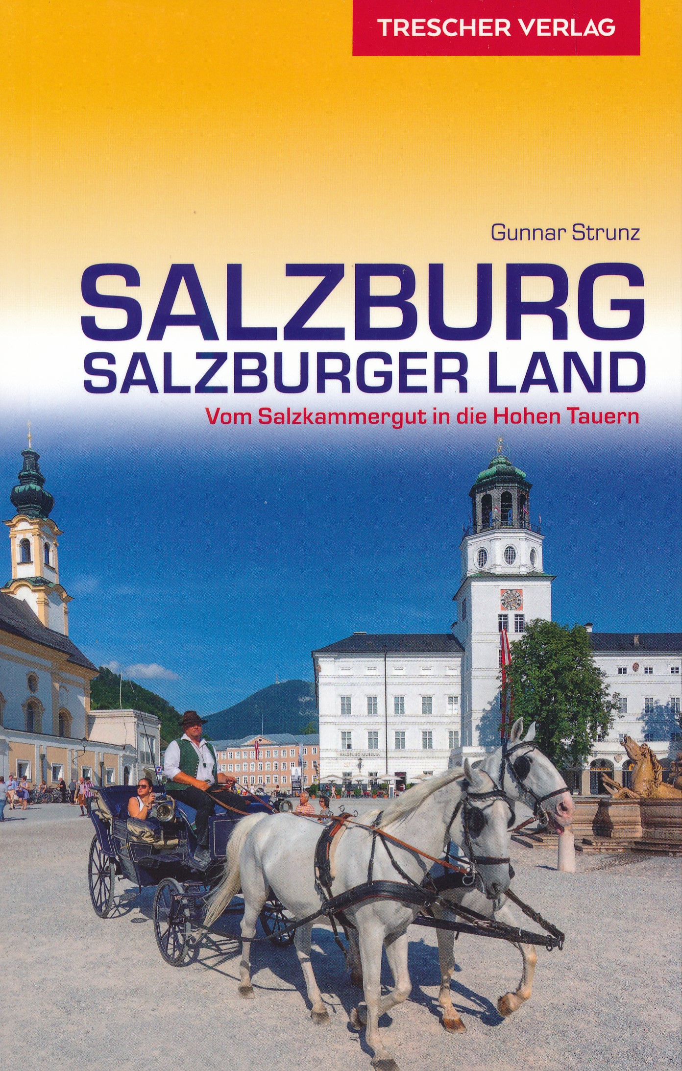
Reisgids Salzburg - Salzburger Land | Trescher Verlag

Das Salzburger Land weist auf engem Raum eine große landschaftliche Vielfalt auf. Der nördliche, etwas flachere Teil gehört zu den Voralpen, ihn prägen Seen und das breite Salzachtal. Die südlichen Landesteile gehören schon zu den Zentralalpen, hoch aufragende Gipfel, tiefe Täler und breite Gletscher verbinden sich zu einem majestätischen Gesamtbild. Die Landeshauptstadt Salzburg gilt wegen ihrer Festspiele, Theater- und Konzertveranstaltungen als eine der größten Kulturmetropolen der Welt, gleichzeitig ist sie über Jahrhunderte zu einem baulichen Gesamtkunstwerk geformt worden. Architekturinteressierten bietet das Land zudem eine Fülle von malerischen Dörfern und Wallfahrtskirchen, Burgen und Burgruinen sowie traditionsreiche Kurorte. Man kann von Frühjahr bis Herbst im Salzburger Land wunderbar radeln und wandern, im Winter finden Aktivurauber hervorragende Bedingungen vor.

Dieser Reiseführer macht mit der Vielfalt das Salzburger Landes bekannt. Er beschreibt kenntnisreich alle Regionen des Bundeslandes und gibt umfassende praktische Tipps für Kultur- und Naturinteressierte sowie Aktivurlauber.

Abonneer op