Fout lopen wordt op deze manier wel erg moeilijk. Met symbolen is weergegeven welke voorzieningen (openbaar vervoer / winkels / overnachtingen) er zijn langs of bij de route. De gids bevat een lijst met overnachtingsadressen inclusief telefoonnummers, soms aangevuld met websites/mailadressen. Alle gidsen bevatten een door ons toegevoegde uitgebreide frans nederlandse wandelwoordenlijst.
Plus de 20 jours de randonnées sur le célébre GR 21, élu en 2019: GR préféré des Français
De plage en plage, cette grande ligne de rochers blancs s'abaisse brusquement, et une petite vallée étroite, aux pentes raides couvertes de gazon ras et de joncs marins, descend du plateau cultivé vers une plage de galets où elle aboutit par un ravin semblable au lit d'un torrent.
Le Treport - Dieppe - Saint-Valery-en-Caux - Fecamp - Etretat - le Havre - Honfleur - Deauville Trouville - Cabourg - Ouistreham - Port en bessin - Carentan
€ 19.95
€ 18.50
Sur 4 départements, la région Franche-Comté offre un spectacle exceptionnel aux randonneurs, plaines, vallées et forêts sauront ravir l'ensemble de la famille
La Franche-Comté, pays à la fois d’industrie et d’agriculture, attire par sa nature si diverse, ses deux massifs montagneux des Vosges et du Jura, ses deux Parcs Naturels Régionaux.
Chaque département offre des plaisirs variés: la Haute-Saône avec la quiétude des berges de la Saône et l'air vivifiant des Vosges du Sud, le Doubs avec les salines royales d'Arc-et-Senans et la citadelle de Besançon. Sans oublier le Jura terre d'évasion connue des randonneurs avec ses paysages verdoyants et sa bio-diversité à préserver.
€ 11.50
Franstalige wandelgids met een beschrijving van een aantal dagtochten. Uitstekende beschrijvingen met duidelijk kaartmateriaal. Mislopen is nauwelijks mogelijk, maar ja .. de franse taal! Ook praktische informatie staat in deze gids. Alle gidsen bevatten een door ons toegevoegde uitgebreide frans - nederlandse wandelwoordenlijst.
Le Finistère est plus que jamais le département français le mieux couvert par nos topo-guides : 9 titres PR® et 4 titres GR®, de quoi réviser votre connaissance des sentiers bretons !
Composée de trois communautés de communes, cette partie de la Cornouaille se donne des airs de riviera avec ses baies profondes, ses côtes basses, et ses longues plages. Mais elle demeure bien bretonne avec sa campagne bocagère, le long de sa côte, ses polders, ses rias et, dans chaque détour, ses bois et ses manoirs.
Fleuve emblématique de la Cornouaille, l'Odet court du nord au sud, depuis le Pays Glazik jusqu'à la mer. A Quimper, chef-lieu du département, ville d'Art et d'Histoire, du haut du clocher de la cathédrale Saint-Corentin, juché sur son cheval, le roi Gradlon veille sur sa cité et son regard peut même porter jusqu'aux plages de Bénodet, Fouesnant et La Forêt-Fouesnant.
€ 12.50
Franstalige wandelgids met een beschrijving van een aantal dagtochten. Uitstekende beschrijvingen met duidelijk kaartmateriaal. Mislopen is nauwelijks mogelijk, maar ja .. de franse taal! Ook praktische informatie staat in deze gids. Alle gidsen bevatten een door ons toegevoegde uitgebreide frans - nederlandse wandelwoordenlijst.
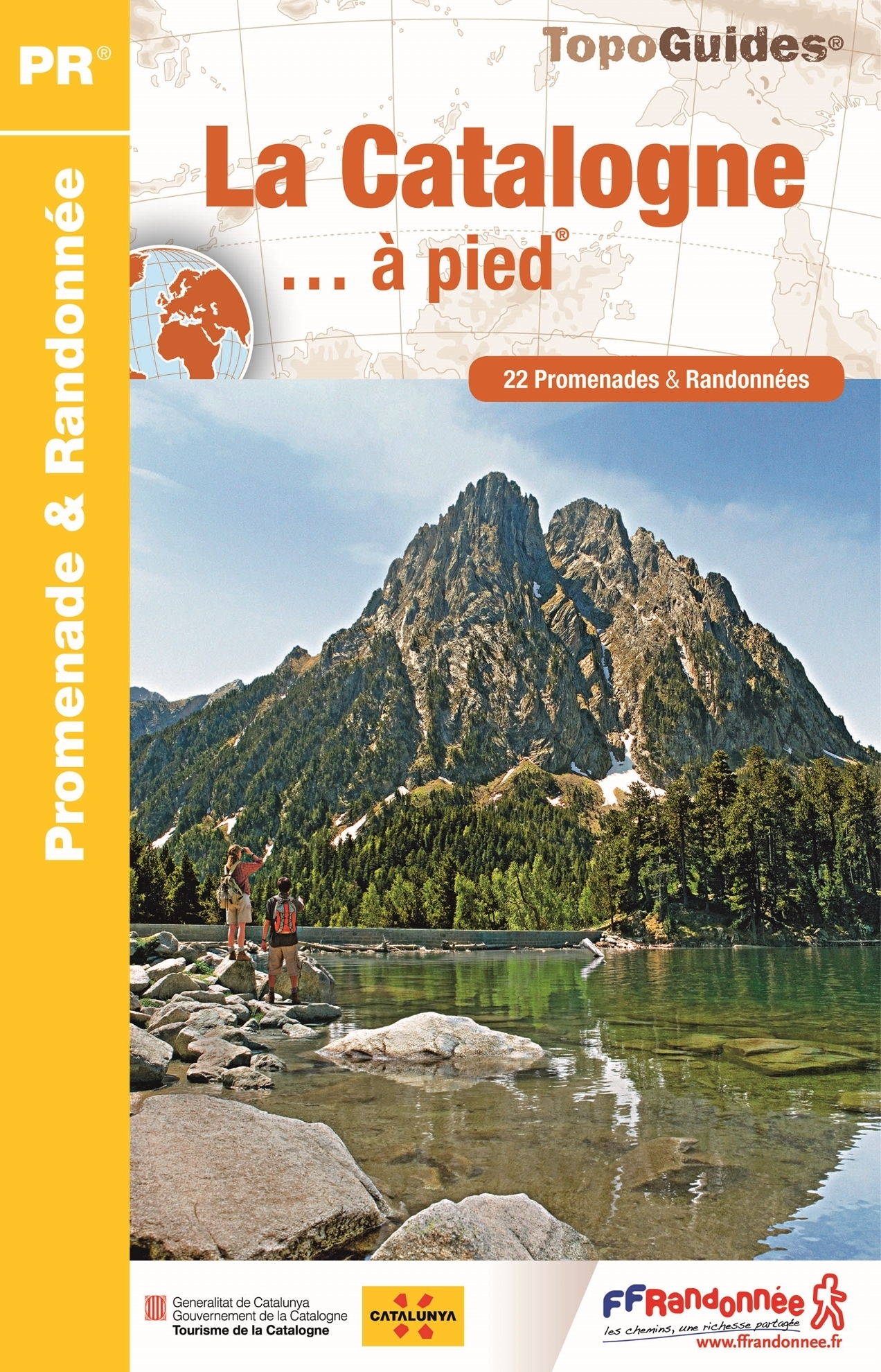
Entre chaîne pyrénéenne, Delta de l'Ebre et littoral méditerranéen, la Catalogne offre une extrême diversité de paysages, mise en valeur par le développement d'un tourisme responsable. Avec son parc national d'Aigüestortes i Estany de Sant Maurici et ses multiples parcs naturels (Delta de l'Ebre, Cadi-Moixero, serra de Montsant, Montseny, Sant Llorenç del Munt i l'Obac), la Catalogne déploie un éventail de territoires sauvages et préservés, véritable paradis du randonneur, étoffé par un patrimoine artistique et culturel d'exception.
€ 18.50
Franstalige wandelgids met een beschrijving van een aantal dagtochten. Uitstekende beschrijvingen met duidelijk kaartmateriaal. Mislopen is nauwelijks mogelijk, maar ja .. de franse taal! Ook praktische informatie staat in deze gids. Alle gidsen bevatten een door ons toegevoegde uitgebreide frans - nederlandse wandelwoordenlijst.
Des hauteurs du Mont Beuvray qui domine toute la Bourgogne, jusqu'aux portes de Nevers, célèbre pour ses faïences et son célèbre bleu, venez découvrir les multiples visages de la Nièvre : le Morvan, zone montagneuse couverte de forêts entourant de nombreux lacs et étangs, avec des vallées profondes dans lesquelles coulent ruisseaux et torrents ; le Nivernais, aux larges vallonnements bocagers recouverts de bois et de prairies ; les coteaux de la Loire et ses vins renommés ; enfin, les terres labourables séparées de haies vives du plateau de Puisaye. Dans cette collection : des itinéraires balisés sur le terrain ; des balades classées par niveau de difficulté ; l'expertise FFRandonnée associée aux cartes ; des informations pratiques indispensables ; des textes pour découvrir la région, accompagnés de nombreuses photographies et illustrations.
€ 21.50
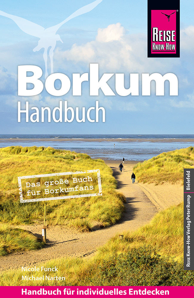
Borkum, die westlichste der sieben Ostfriesischen Inseln, ist ein ideales Reiseziel für Naturfreunde, Familien und Nordseefans. Auf der entschleunigten Insel mit wenig Autoverkehr locken kilometerlange Strände, einzigartige Naturlandschaften und eine kinderfreundliche Infrastruktur. Zahlreiche Rad- und Wanderwege laden zu Entdeckungstouren ein. Auch die Wege zum Shoppen, Schauen und Schlemmen sind meist nicht weit. Der kleine Inselort bietet vom gemütlichen Fischlokal bis zum Kurkonzert alles, was das Urlauberherz begehrt.
„Die vielen Eindrücke der Inselnatur erfreuen das Herz, der langsame insulare Lebensrhythmus färbt ab, und die Seele kommt wieder zur Ruhe. Borkum ist ein hervorragender Platz für Erholung, Entspannung, Bewegung und abwechslungsreiche Entdeckungen“, so die Autoren, die mit ihrem Reiseführer ein großes Buch für Borkumfans vorlegen. Im Borkum-Handbuch führen sie zu allen Sehenswürdigkeiten der Insel, vom alten und neuen Leuchtturm über das Heimatmuseum, das Nordsee-Aquarium und den Wasserturm bis zu den Aussichtsdünen und dem Seenotrettungskreuzer „Hamburg“.
Jedes Kapitel beginnt mit einer Doppelseite, auf der die Inhalte mit Highlights und Seitenverweisen vorgestellt werden. Im Vorspann finden sich Übersichtsseiten mit Beschreibungen aller Regionen, eine Jahresübersicht zu Festen und Veranstaltungen, Routenvorschläge und persönliche Top-Tipps der Autoren. Viele spezielle Infos, beispielsweise zur Anreise und zu den vielfältigen Möglichkeiten an Aktivitäten, sind hilfreiche Planungshelfer. Selbstfahrer finden ebenso wie Reisende, die mit öffentlichen Verkehrsmitteln unterwegs sind, alle notwendigen Informationen. Tipps zu naturnahem und nachhaltigem Reisen sowie zum Reisen mit Kindern helfen bei der Auswahl der passenden Adressen.
€ 16.95
Goede wandelkaart van dit gebied met alle noodzakelijke informatie als berghutten, campings. Kleurgebruik vrij fel, waardoor hoogtes goed uitkomen. Wandelroutes zijn ingetekend en de GR paden (doorgaande wandelpaden) zijn weergegeven met een teken of nummer.
• Mapa excursionista y guía
• Escala: 1:50.000
• Equidistancia: 20 m
• Curvas maestras: a 50 m
• Sombreado automático
• Usos del suelo representados a 3 niveles
• Cuadrícula UTM con divisiones de 1 km
• Compatible GPS
• Itinerarios marcados
• Guía con excursiones y datos de interés
€ 18.95
Uitstekende routegids met gedetailleerde kaarten en een routebeschrijving. Fout lopen wordt op deze manier wel erg moeilijk. Met symbolen is weergegeven welke voorzieningen (openbaar vervoer / winkels / overnachtingen) er zijn langs of bij de route. Een nadeel is dat de daadwerkelijke adressen dan weer niet altijd genoemd worden. Alle gidsen bevatten een door ons toegevoegde uitgebreide frans - nederlandse wandelwoordenlijst.
Dans l'ouest des Vosges, l'horizon s'adoucit, les résineux cèdent le pas aux feuillus et les nombreux cours d'eau entaillent joliment ce paysage verdoyant. Cette nature préservée empreinte d'histoire fera le bonheur des randonneurs qui partiront sur les traces de Jeanne d'Arc ou à la découverte des nombreux vestiges gallo-romains, tels que l'imposant amphithéâtre de Grand. C'est aussi un territoire où l'homme a su exploiter les ressources naturelles abondantes telles que le bois, le minerai de fer ou l'eau pour développer des savoir-faire reconnus à travers le monde, notamment dans les métiers de l'ameublement.
1 GR® de Pays et 18 balades. En complément de "La Ligne Bleue des Vosges" (880) et "Traversée du Massif des Vosges" (502).
€ 13.95
Handxaam kleine wandelgids met 30 niet al te lange wandeltochten aan de noordkust van Bretagne, van de baai van Mont-Saint-Michel tot het schiereiland Crozon. Leuke mix van natuur en cultuur, goed beschreven, maar wel in het Frans!
Van de baai van Mont-Saint-Michel tot het schiereiland Crozon
- 30 familiewandelingen om op het douanepad te wandelen op zoek naar natuur en erfgoed.
- De kusten van 3 bezochte departementen: Ille-et-Vilaine (5 wandelingen), Côtes-d'Armor (16 wandelingen) en Finistère (9 wandelingen).
- Een algemene kaart en een gedetailleerde kaart per wandeling.
- Praktische informatie (duur, afstand, toegang tot de start).
- Toeristisch toezicht tijdens de wandelingen (fauna en flora...).
€ 18.50
Goede Duitstalige wandelgids met heldere beschrijvingen van de wandeltochten. Met hoogteprofiel, kaartje en de benodigde praktische informatie als bijvoorbeeld de startlocatie met GPS coordinaten. De wandelingen zijn ingedeeld in zwaarte en dan op verschillende kleuren weergegeven. Beschreven worden eenvoudige wandelingen tot pittige (berg)tochten, voor getrainde en ongetrainde wandelaars, een aantal wandelingen zijn geschikt om met kinderen te doen. Belangrijke toevoeging bij de Kompass wandelgidsen is een bijgevoegde losse wandelkaart van het betreffende gebied waarop de wandelingen uit de gids op de kaart heel duidelijk zijn ingetekend.
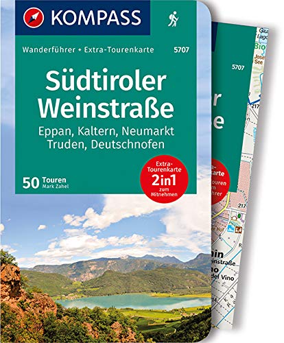
Die Südtiroler Weinstraße und das Unterland ganz in der Nähe zur Hauptstadt Bozen gelegen zählen zu den beliebtesten Urlaubsregionen in den südlichen Alpen. Wanderspaß und kulturelles Interesse lassen sich auf ideale Weise verbinden. Für Alpendestinationen außergewöhnlich lang ist die Wandersaison vom zeitigen Frühjahr bis in den Spätherbst. Das klimatisch begünstigte Etschtal findet im Mendelkamm sowie dem gegenüberliegenden Regglberg einen passenden Bergrahmen. Entsprechend breit gefächert ist das Tourenangebot: bequeme talnahe Unternehmungen, Wege auf halber Höhe und zünftige Gipfelanstiege. Im südlichsten Zipfel Südtirol dreht sich viel um Wein und kulinarischen Genuss. Die Marke "Kalterer See" ist ein Synonym dafür. Weinorte wie Eppan, Kaltern oder Tramin besitzen großes Renommee. Rund um das Trudner Horn ist die ursprüngliche Landschaft in einem Naturpark besonders unter Schutz gestellt. Kurzinfo zum Produkt: Das sportliche Highlight: Die Gipfel am Mendelkamm wie Gantkofel, Bergner Kreuz, Monte Roèn oder Treser Horn, für Kraxler außerdem der Fennberg-Klettersteig. Die Familien Highlights: Burg Hocheppan, Kalterer und Montiggler See, Rastenbachklamm und Bletterbachschlucht. Das GenussHighlight: Zur Zeit des Törggelen in einer der urigen Buschenschänken einkehren und der Südtiroler Lebensart frönen. Das persönliche Highlight: Die Überschreitung des Weißhorns, weil bergsteigerisch anregend, aussichtsmäßig großartig und geologisch interessant (Bletterbachschlucht). Das KulturHighlight: Messner Mountain Museum Firmian auf Schloss Sigmundskron für Bergbegeisterte eine vielseitige Ausstellung in geschichtsträchtigen Gemäuern.


