Main navigation
Home
Caravans
Kampeershop
Alle artikelen
Barbecueën
Caravanartikelen
Chemische toiletten
Kampeerartikelen
Koken & servies
Tenten
Voortenten & luifels
Zaklampen
Deken slaapzakken
Tenten
Campings
Campings in België
Campings in Denemarken
Campings in Duitsland
Campings in Frankrijk
Campings in Griekenland
Campings in Italië
Campings in Kroatië
Campings in Luxemburg
Campings in Nederland
Campings in Noorwegen
Campings in Portugal
Campings in Slovenie
Campings in Spanje
Campings in Tsjechië
Campings in Zweden
Camping toevoegen
Bedrijven
Caravanbedrijven en dealers
Samenwerken?
Caravanbedrijf toevoegen
Camping toevoegen
Contact
Nieuws & tips
+ Verkopen
+ Inloggen
+ Registreer
Zoeken
Kruimelpad
Home
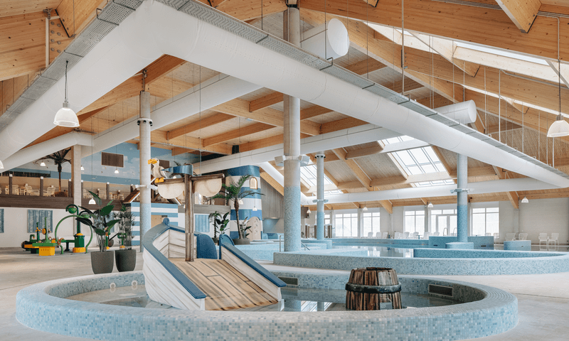
Roompot Beach Resort Nieuwvliet-Bad
n.b.
Allcamps
Roompot Beach Resort Nieuwvliet-Bad
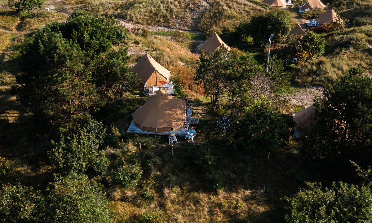
Camping Duinoord - Little Canvas Escape
4
Allcamps
Camping Duinoord - Little Canvas Escape
Camping San Servolo Resort
5
Allcamps
Camping San Servolo Resort
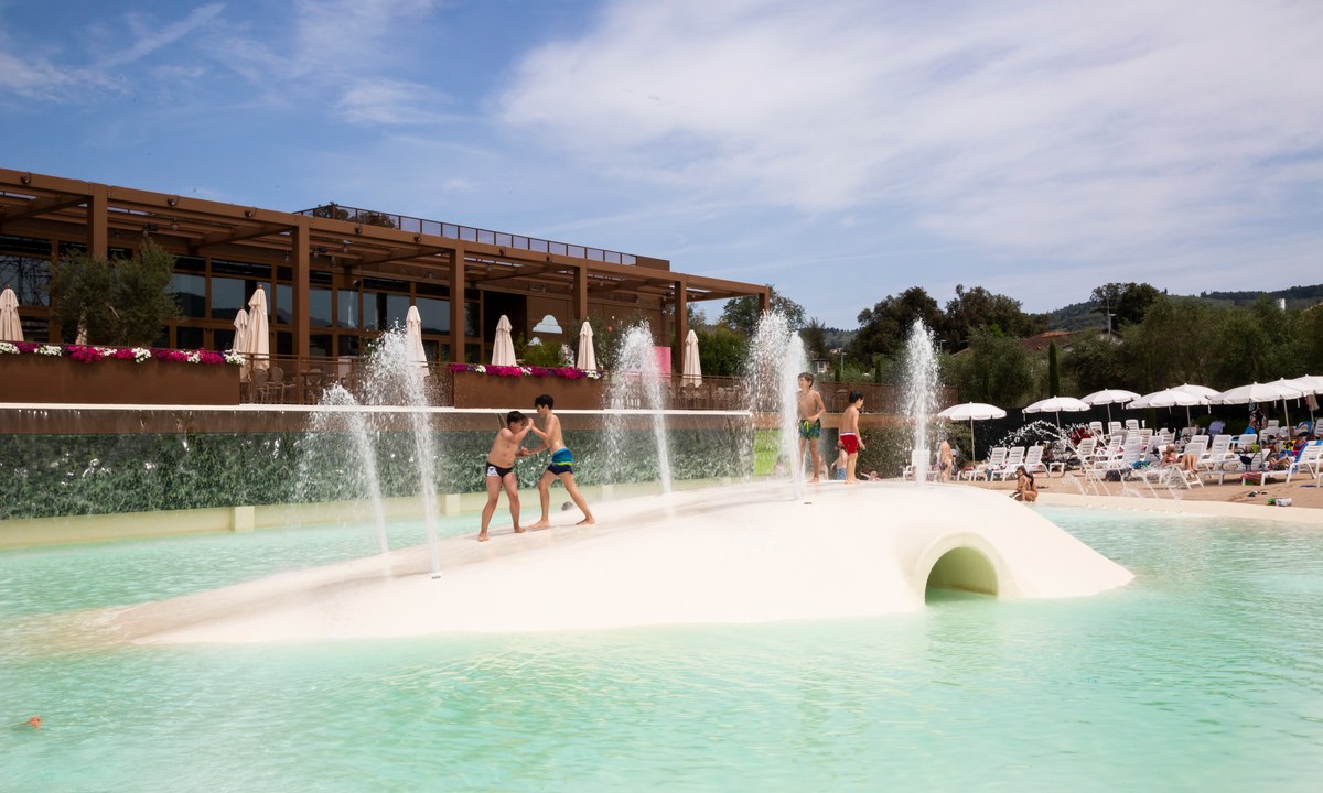
Camping Firenze Camping in Town
1
Allcamps
Camping Firenze Camping in Town
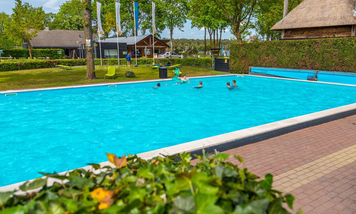
Camping de Vogel
5
Allcamps
Camping de Vogel
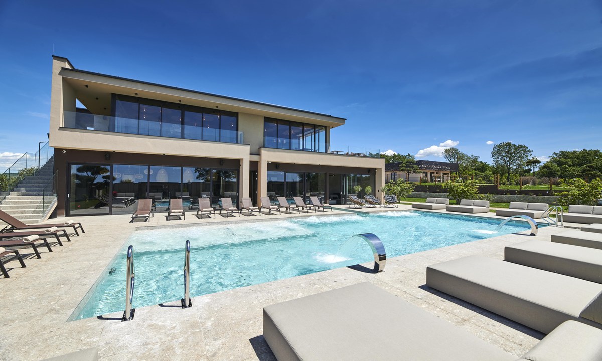
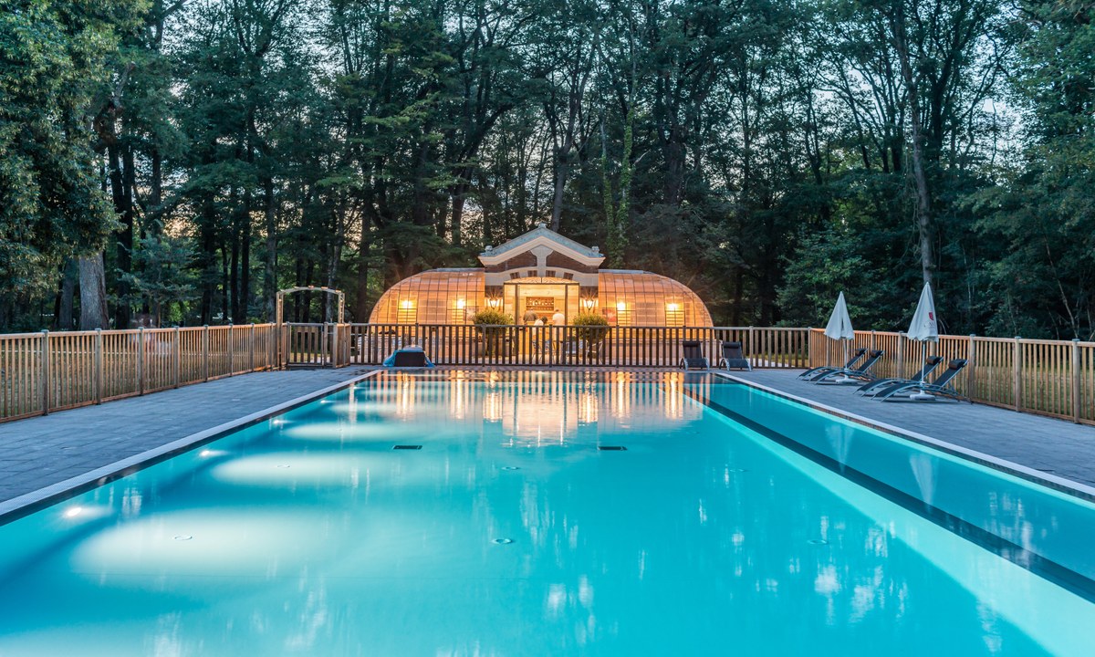
Camping Orangerie de Beauregard
4
Allcamps
Camping Orangerie de Beauregard
Europarcs De Wije Werelt
4
Allcamps
Europarcs De Wije Werelt
Camping Les Brillas
3
Allcamps
Camping Les Brillas
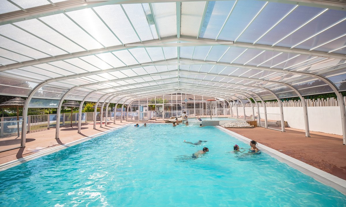
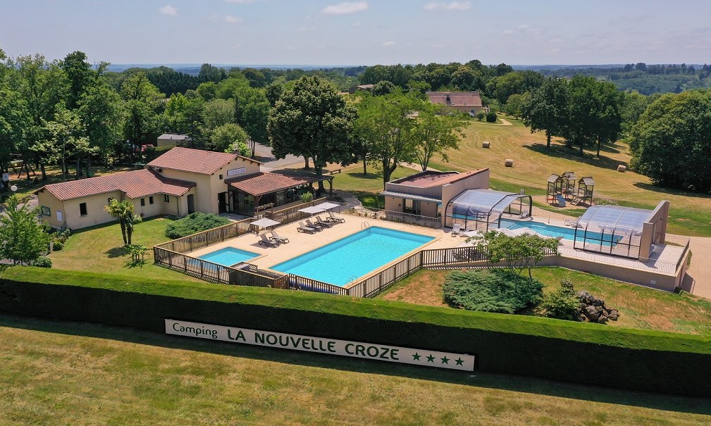
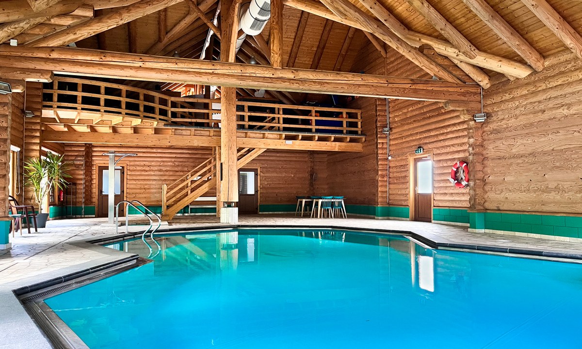
Camping La Nouvelle Croze
4
Allcamps
Camping La Nouvelle Croze
Camping de Reenert
3
Allcamps
Camping de Reenert
Paginering
Eerste pagina
« Eerste
Vorige pagina
‹ Vorige
…
Pagina
2563
Pagina
2564
Pagina
2565
Pagina
2566
Huidige pagina
2567
Pagina
2568
Pagina
2569
Pagina
2570
Pagina
2571
…
Volgende pagina
Volgende ›
Laatste pagina
Laatste »
Abonneer op