Main navigation
Home
Caravans
Kampeershop
Alle artikelen
Barbecueën
Caravanartikelen
Chemische toiletten
Kampeerartikelen
Koken & servies
Tenten
Voortenten & luifels
Zaklampen
Deken slaapzakken
Tenten
Campings
Campings in België
Campings in Denemarken
Campings in Duitsland
Campings in Frankrijk
Campings in Griekenland
Campings in Italië
Campings in Kroatië
Campings in Luxemburg
Campings in Nederland
Campings in Noorwegen
Campings in Portugal
Campings in Slovenie
Campings in Spanje
Campings in Tsjechië
Campings in Zweden
Camping toevoegen
Bedrijven
Caravanbedrijven en dealers
Samenwerken?
Caravanbedrijf toevoegen
Camping toevoegen
Contact
Nieuws & tips
+ Verkopen
+ Inloggen
+ Registreer
Zoeken
Kruimelpad
Home
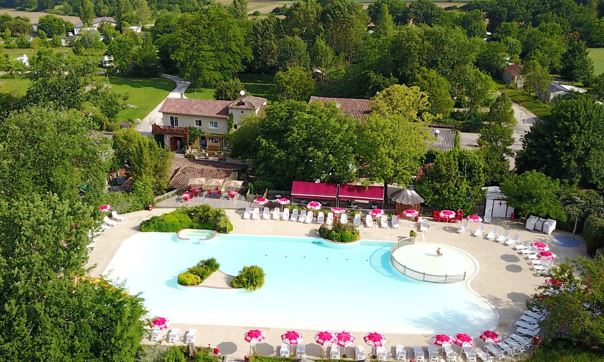
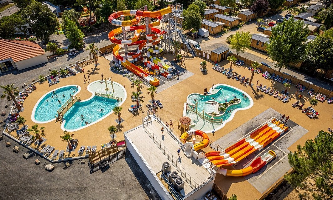
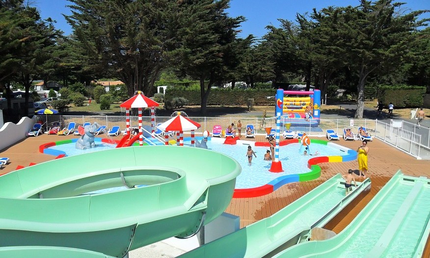
Camping Le Camp de Florence
4
Allcamps
Camping Le Camp de Florence
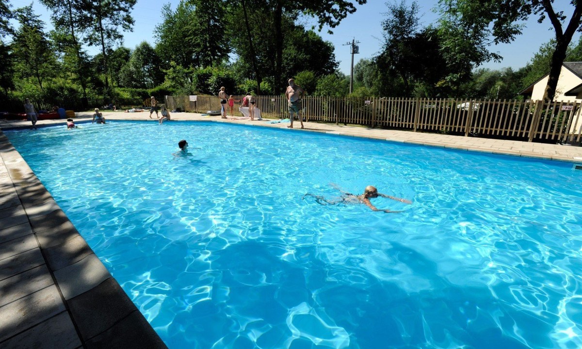
Camping de Chênefleur
3
Allcamps
Camping de Chênefleur
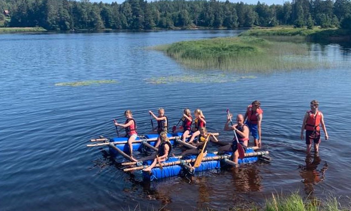
Camping Yttermalungs
3
Allcamps
Camping Yttermalungs
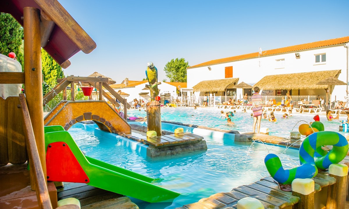
Camping Les Embruns d'Oléron
4
Allcamps
Camping Les Embruns d'Oléron
Camping Taïga Conil
3
Allcamps
Camping Taïga Conil
Camping Bel Air Village Le Brabois
3
Allcamps
Camping Bel Air Village Le Brabois
Camping Le Suroit
4
Allcamps
Camping Le Suroit
Camping Les Flots Bleus
4
Allcamps
Camping Les Flots Bleus
Camping Riez à la Vie
4
Allcamps
Camping Riez à la Vie
Camping Au Val de Loire en Ré
4
Allcamps
Camping Au Val de Loire en Ré
Paginering
Eerste pagina
« Eerste
Vorige pagina
‹ Vorige
…
Pagina
2561
Pagina
2562
Pagina
2563
Pagina
2564
Huidige pagina
2565
Pagina
2566
Pagina
2567
Pagina
2568
Pagina
2569
…
Volgende pagina
Volgende ›
Laatste pagina
Laatste »
Abonneer op