Main navigation
Home
Caravans
Kampeershop
Alle artikelen
Barbecueën
Caravanartikelen
Chemische toiletten
Kampeerartikelen
Koken & servies
Tenten
Voortenten & luifels
Zaklampen
Deken slaapzakken
Tenten
Campings
Campings in België
Campings in Denemarken
Campings in Duitsland
Campings in Frankrijk
Campings in Griekenland
Campings in Italië
Campings in Kroatië
Campings in Luxemburg
Campings in Nederland
Campings in Noorwegen
Campings in Portugal
Campings in Slovenie
Campings in Spanje
Campings in Tsjechië
Campings in Zweden
Camping toevoegen
Bedrijven
Caravanbedrijven en dealers
Samenwerken?
Caravanbedrijf toevoegen
Camping toevoegen
Contact
Nieuws & tips
+ Verkopen
+ Inloggen
+ Registreer
Zoeken
Kruimelpad
Home
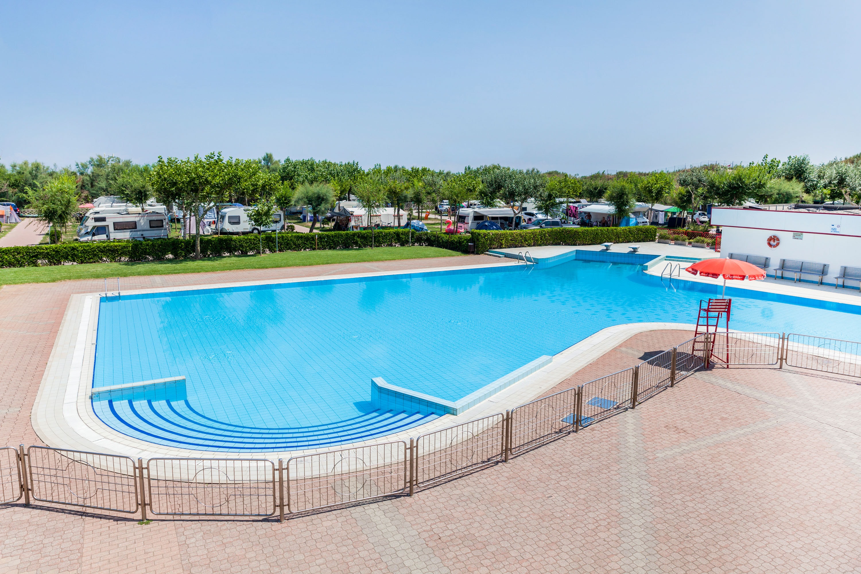
Miramare Camping Village
****
ACSI Eurocamping
45.19031000
12.30331000
Miramare Camping Village
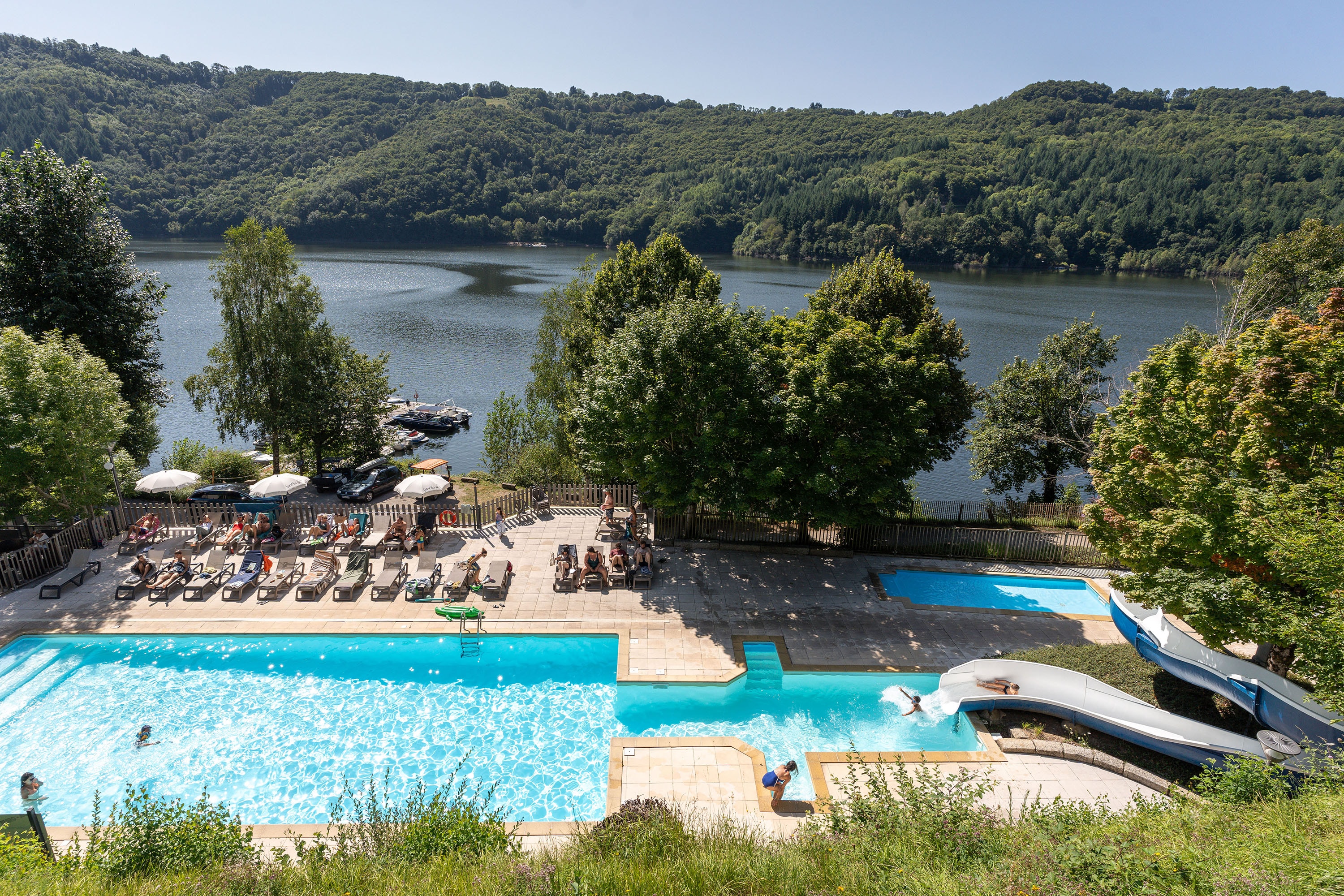
Camping Sunêlia La Source
****
ACSI Eurocamping
44.85367000
2.77103000
Camping Sunêlia La Source
Camping de Pallegarste
*****
ACSI Eurocamping
52.50669000
6.58256000
Camping de Pallegarste
Camping Domaine de l'Épinette
****
ACSI Eurocamping
46.65253000
5.72125000
Camping Domaine de l'Épinette
Camping Seasonova de Vittel
***
ACSI Eurocamping
48.20767000
5.95531000
Camping Seasonova de Vittel
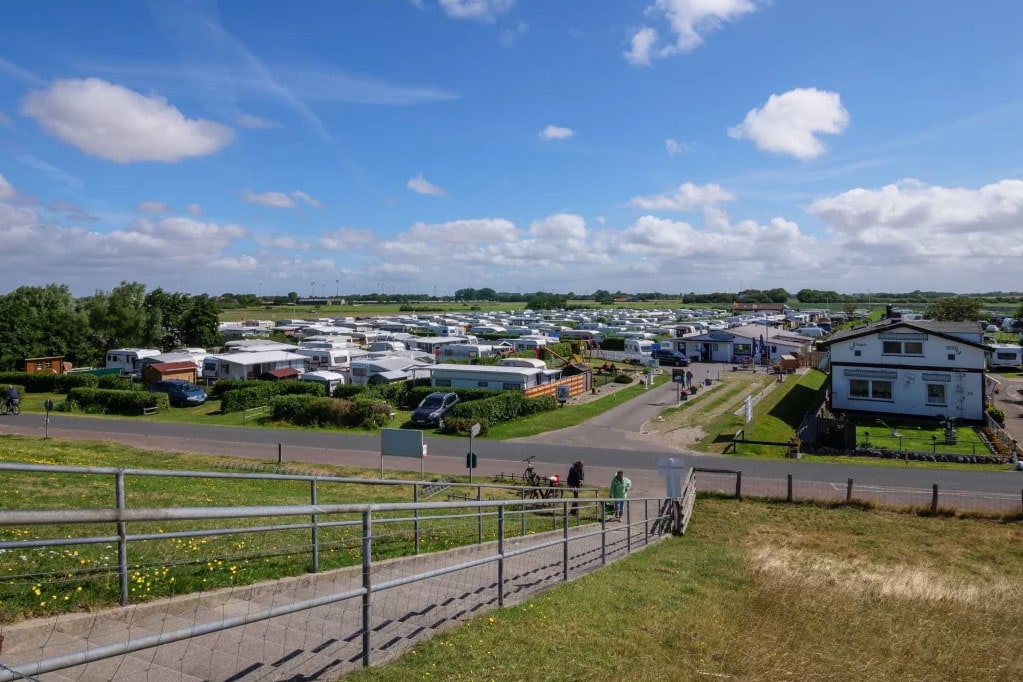
Camping An de Waterkant
n.b.
ACSI Eurocamping
54.15111000
8.82489000
Camping An de Waterkant
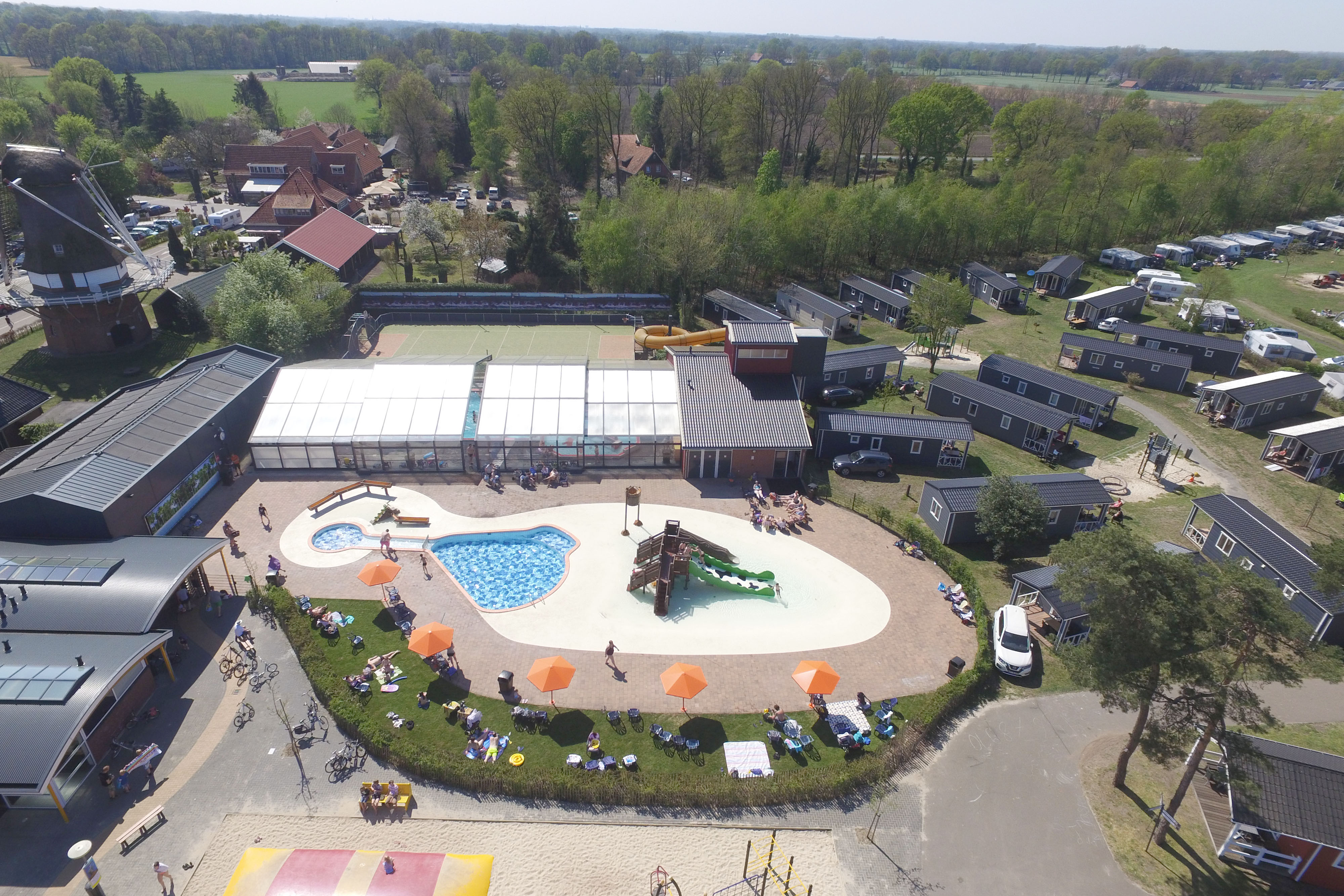
Camping De Molenhof
*****
ACSI Eurocamping
52.36583000
6.84358000
Camping De Molenhof
Camping Les Castors
***
ACSI Eurocamping
47.74689000
7.12439000
Camping Les Castors
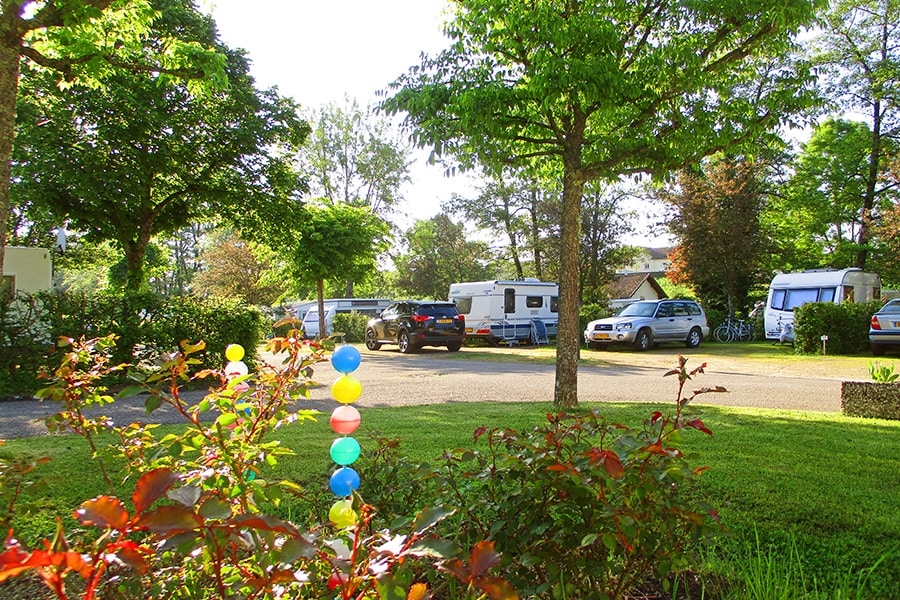
Camping Arc en Ciel
***
ACSI Eurocamping
44.41247000
4.35028000
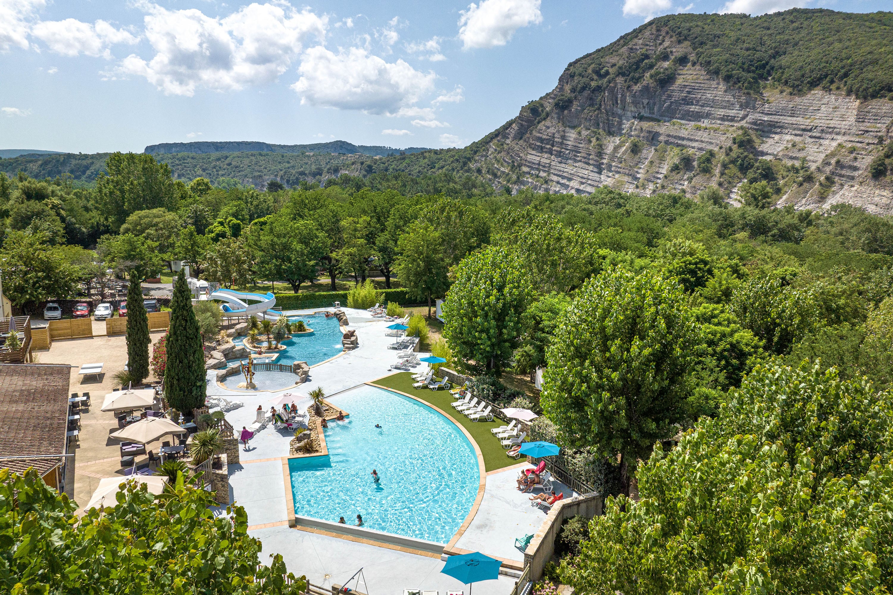
Camping Arc en Ciel
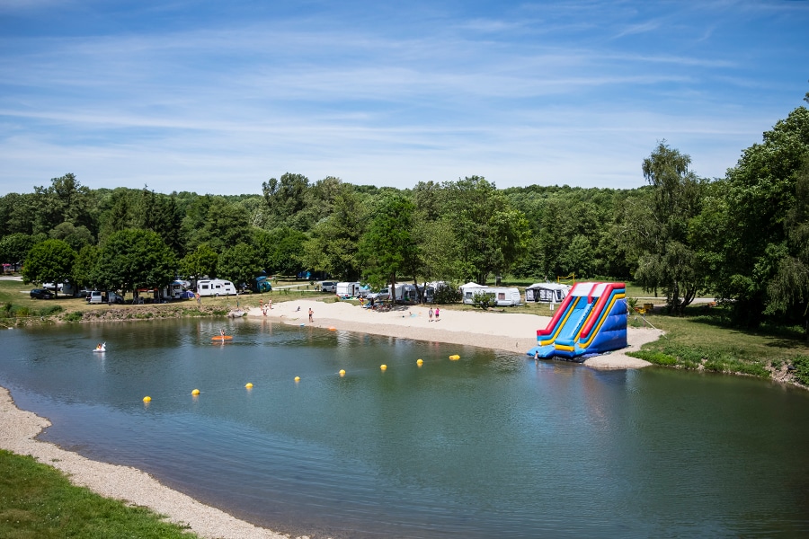
RCN le Moulin de la Pique
*****
ACSI Eurocamping
44.76189000
1.01406000
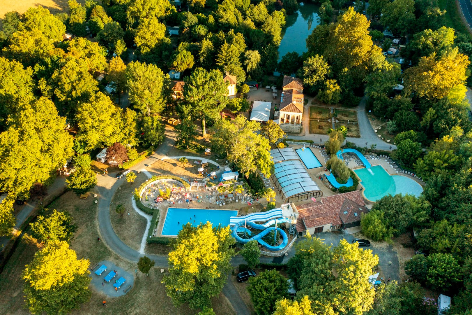
RCN le Moulin de la Pique
Paginering
Eerste pagina
« Eerste
Vorige pagina
‹ Vorige
…
Pagina
2721
Pagina
2722
Pagina
2723
Pagina
2724
Huidige pagina
2725
Pagina
2726
Pagina
2727
Pagina
2728
Pagina
2729
…
Volgende pagina
Volgende ›
Laatste pagina
Laatste »
Abonneer op