Main navigation
Home
Caravans
Kampeershop
Alle artikelen
Barbecueën
Caravanartikelen
Chemische toiletten
Kampeerartikelen
Koken & servies
Tenten
Voortenten & luifels
Zaklampen
Deken slaapzakken
Tenten
Campings
Campings in België
Campings in Denemarken
Campings in Duitsland
Campings in Frankrijk
Campings in Griekenland
Campings in Italië
Campings in Kroatië
Campings in Luxemburg
Campings in Nederland
Campings in Noorwegen
Campings in Portugal
Campings in Slovenie
Campings in Spanje
Campings in Tsjechië
Campings in Zweden
Camping toevoegen
Bedrijven
Caravanbedrijven en dealers
Samenwerken?
Caravanbedrijf toevoegen
Camping toevoegen
Contact
Nieuws & tips
+ Verkopen
+ Inloggen
+ Registreer
Zoeken
Kruimelpad
Home
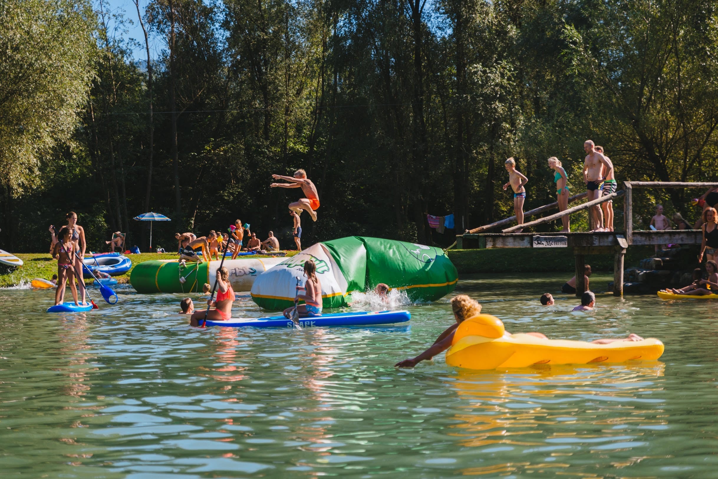
Camping Menina
****
ACSI Eurocamping
46.31172000
14.90911000
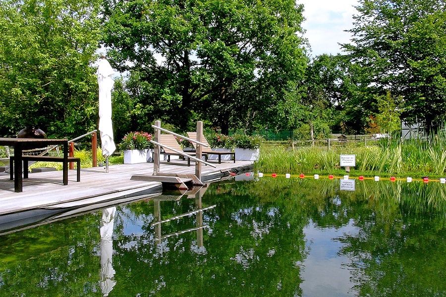
Camping Menina
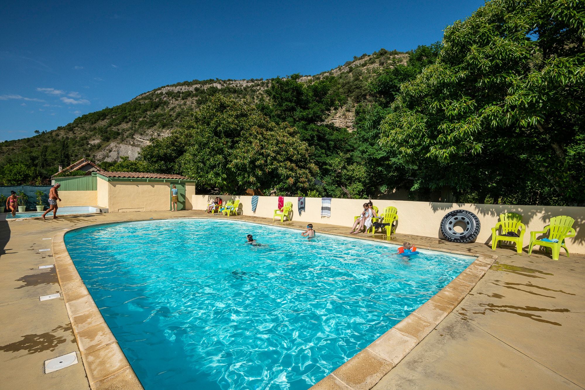
Camping La Turelure
n.b.
ACSI Eurocamping
44.50650000
4.32239000
Camping La Turelure
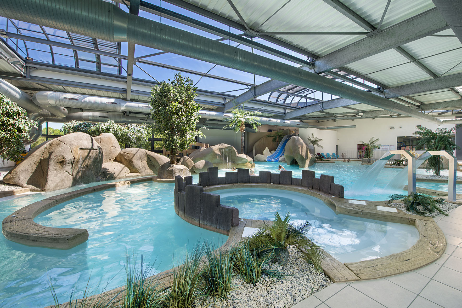
Camping L'Océan
*****
ACSI Eurocamping
46.60106000
-1.84425000
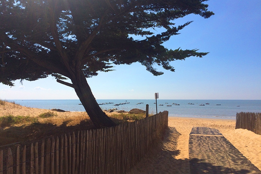
Camping L'Océan
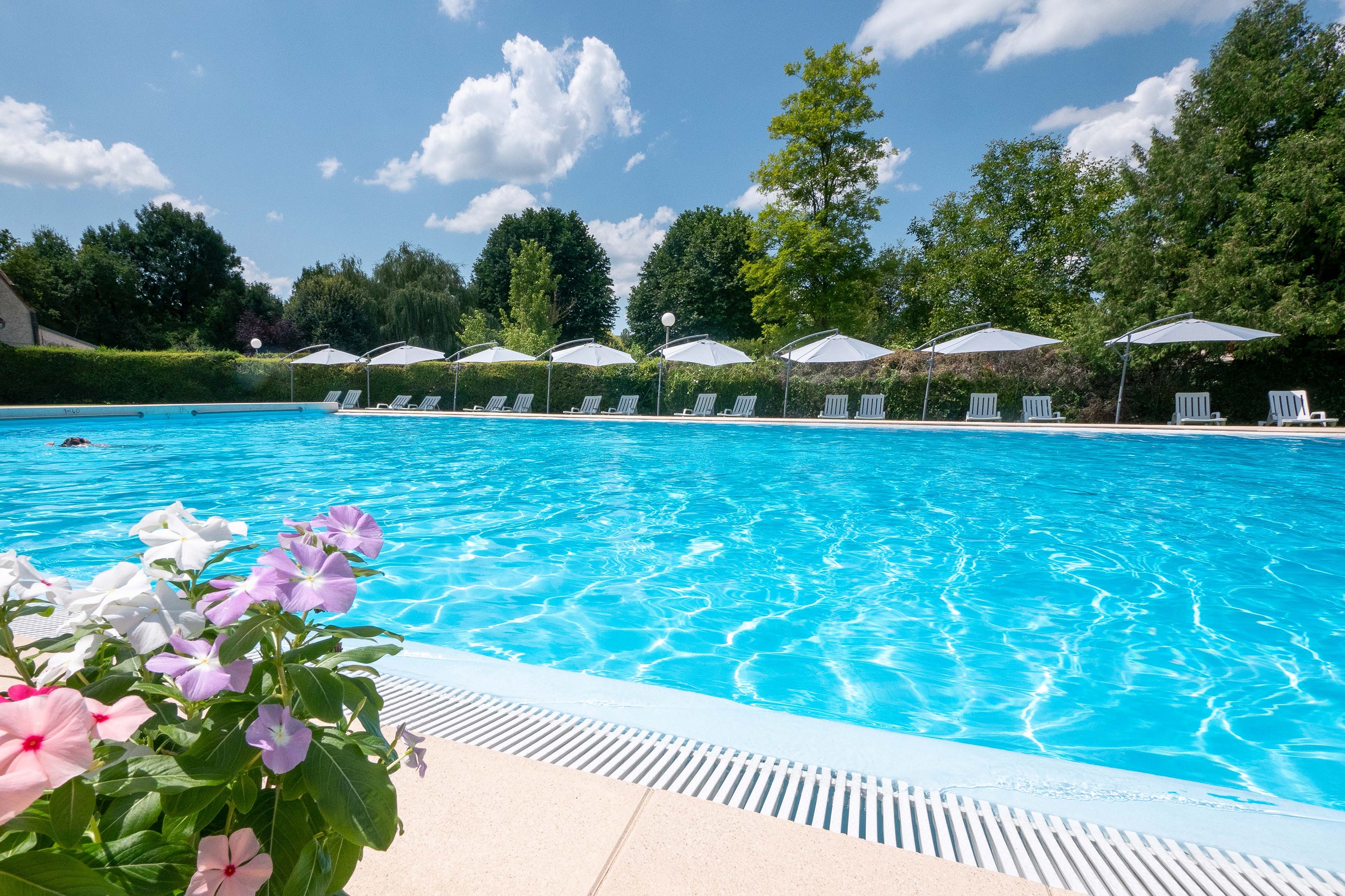
Camping Le Moulin du Bel-Air
***
ACSI Eurocamping
44.64956000
1.43486000
Camping Le Moulin du Bel-Air
Camping & Ferienpark Buschhof
****
ACSI Eurocamping
52.10472000
9.11828000
Camping & Ferienpark Buschhof
Camping La Grande Vallée
**
ACSI Eurocamping
46.34778000
-1.38294000
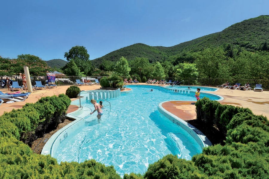
Camping La Grande Vallée
Camping Les Cerisiers du Jaur
****
ACSI Eurocamping
43.49036000
2.78511000
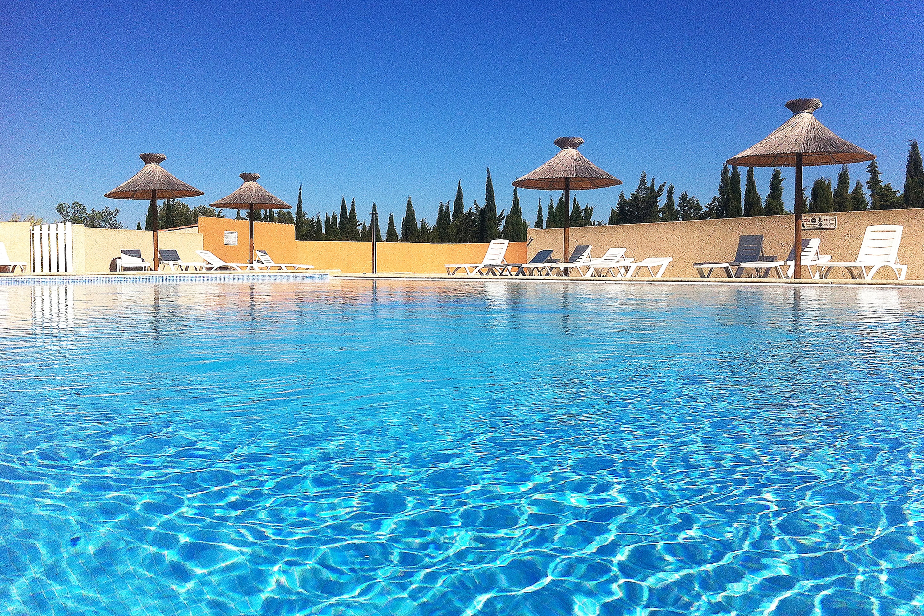
Camping Les Cerisiers du Jaur
Camping Le Fun
****
ACSI Eurocamping
42.91428000
2.99878000
Camping Le Fun
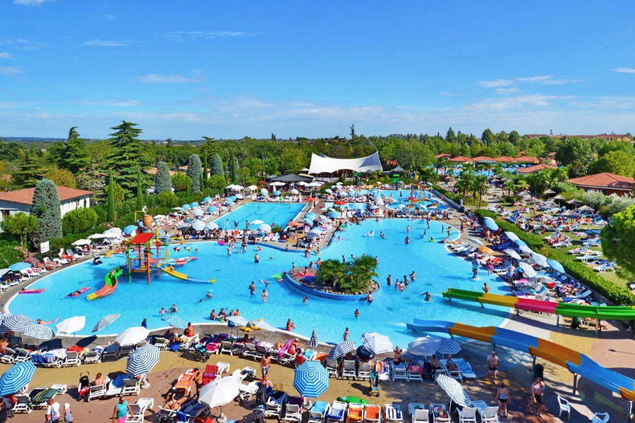
Camping Bella Italia
*****
ACSI Eurocamping
45.44197000
10.67756000
Camping Bella Italia
Camping Triocamp
***
ACSI Eurocamping
50.15253000
14.45039000
Camping Triocamp
Paginering
Eerste pagina
« Eerste
Vorige pagina
‹ Vorige
…
Pagina
2722
Pagina
2723
Pagina
2724
Pagina
2725
Huidige pagina
2726
Pagina
2727
Pagina
2728
Pagina
2729
Pagina
2730
…
Volgende pagina
Volgende ›
Laatste pagina
Laatste »
Abonneer op