Main navigation
Home
Caravans
Kampeershop
Alle artikelen
Barbecueën
Caravanartikelen
Chemische toiletten
Kampeerartikelen
Koken & servies
Tenten
Voortenten & luifels
Zaklampen
Deken slaapzakken
Tenten
Campings
Campings in België
Campings in Denemarken
Campings in Duitsland
Campings in Frankrijk
Campings in Griekenland
Campings in Italië
Campings in Kroatië
Campings in Luxemburg
Campings in Nederland
Campings in Noorwegen
Campings in Portugal
Campings in Slovenie
Campings in Spanje
Campings in Tsjechië
Campings in Zweden
Camping toevoegen
Bedrijven
Caravanbedrijven en dealers
Samenwerken?
Caravanbedrijf toevoegen
Camping toevoegen
Contact
Nieuws & tips
+ Verkopen
+ Inloggen
+ Registreer
Zoeken
Kruimelpad
Home
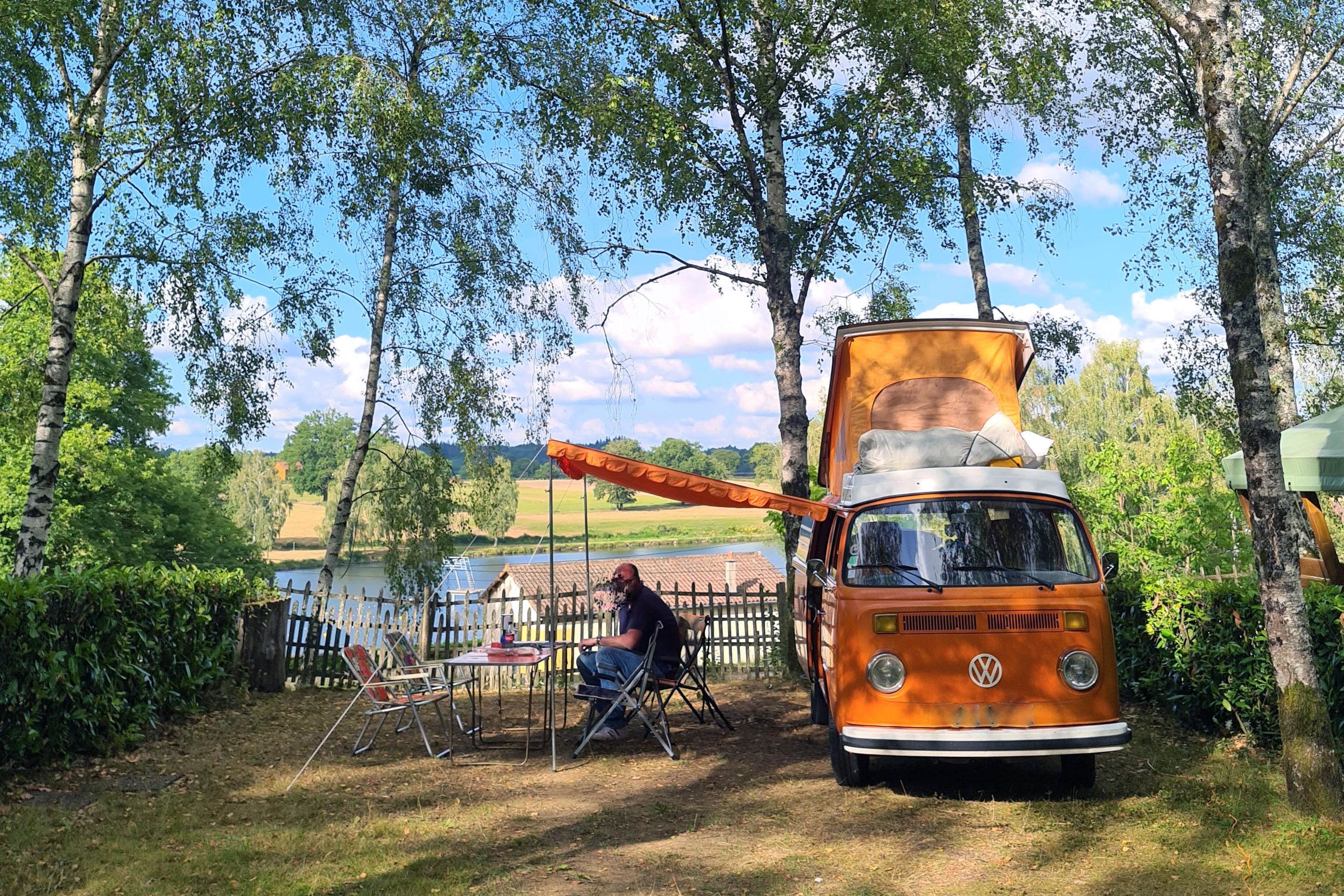
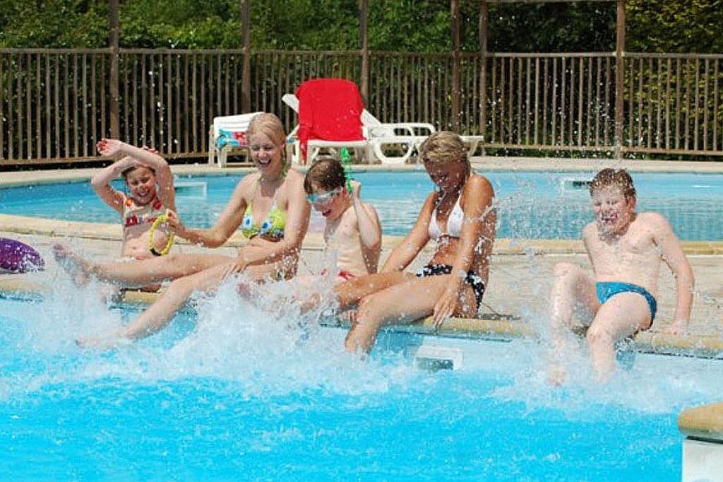
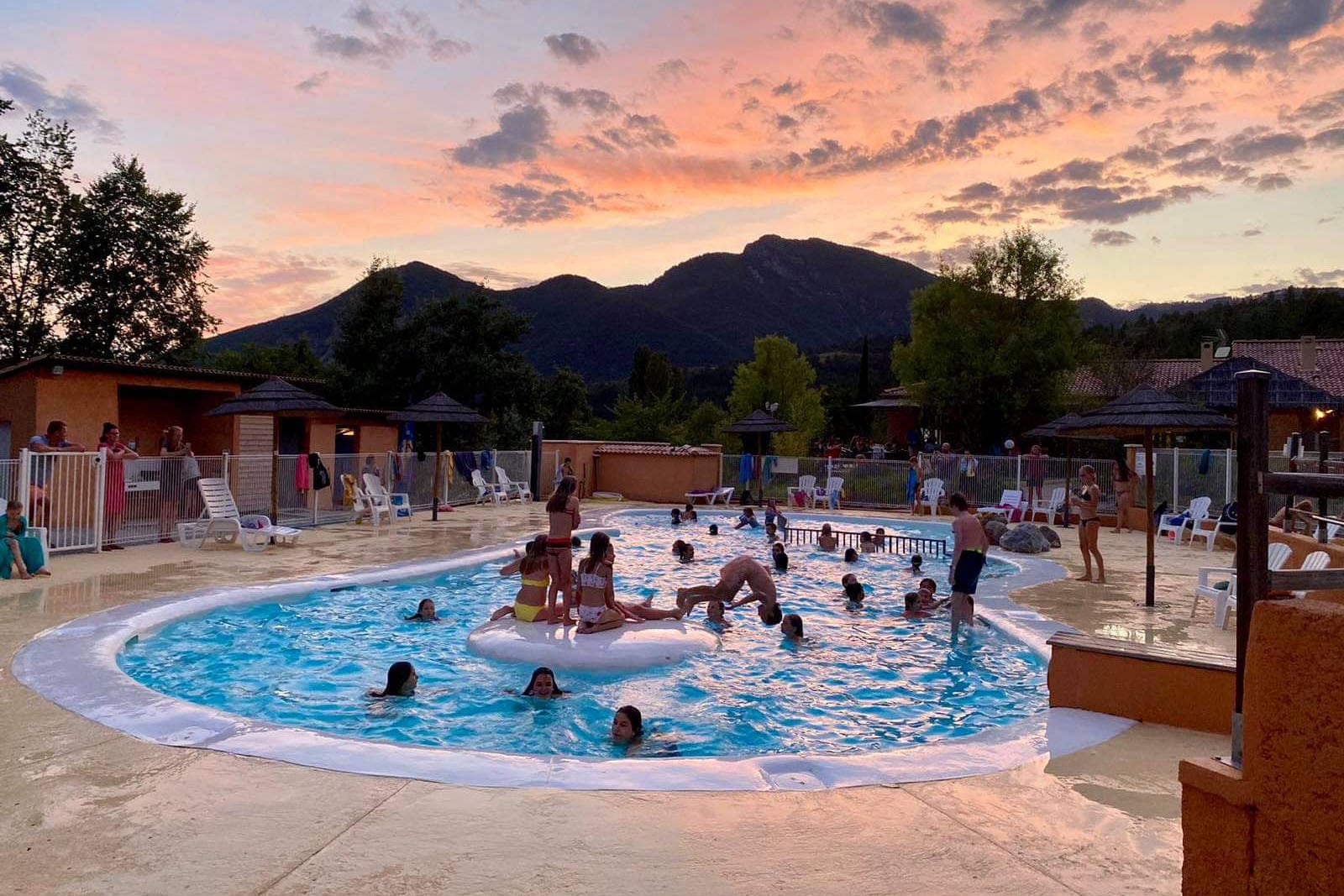
Flower Camping L'Air du Lac
***
ACSI Eurocamping
45.63481000
1.16039000
Flower Camping L'Air du Lac
Camping Paradis Oasis Palavasienne
****
ACSI Eurocamping
43.55364000
3.89361000
Camping Paradis Oasis Palavasienne
Flower Camping St. Lambert
***
ACSI Eurocamping
44.09975000
3.11175000
Flower Camping St. Lambert
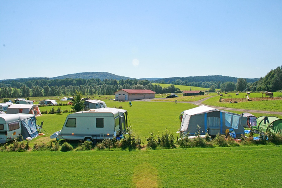
Camping Troisvierges
Kat.I
ACSI Eurocamping
50.11869000
6.00125000
Camping Troisvierges
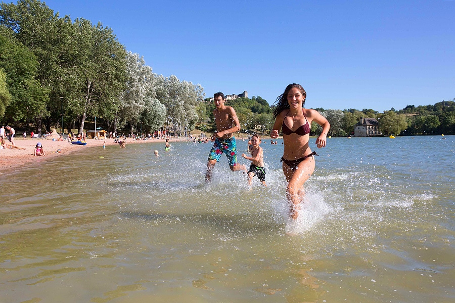
Country Park Crécy La Chapelle
***
ACSI Eurocamping
48.85367000
2.92942000
Country Park Crécy La Chapelle
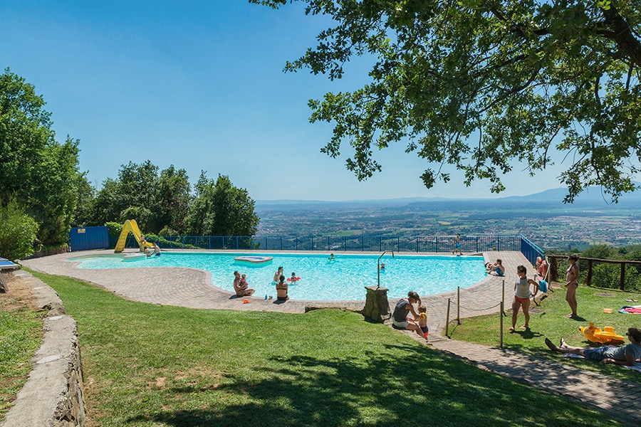
Camping Barco Reale
****
ACSI Eurocamping
43.84175000
10.91050000
Camping Barco Reale
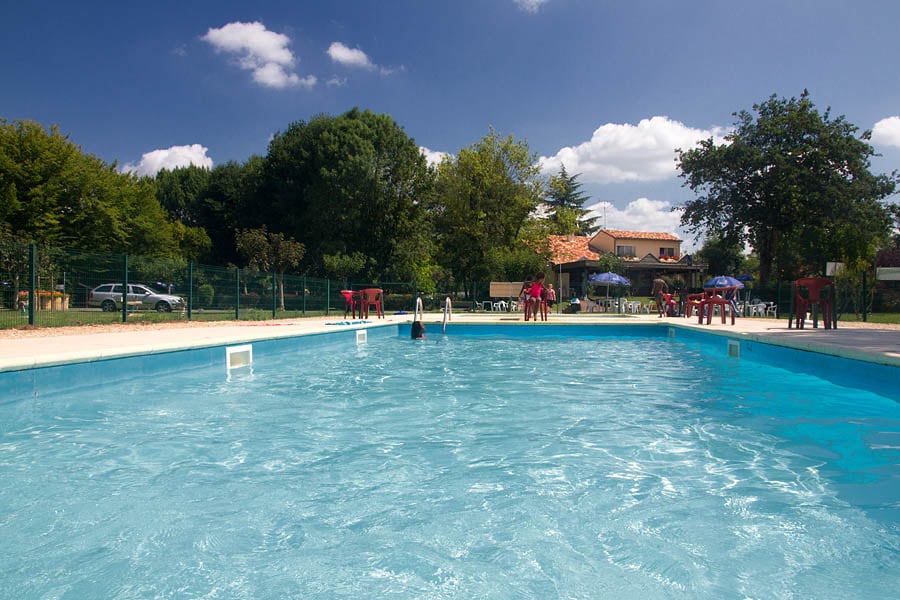
Camping Le Périgord
***
ACSI Eurocamping
45.14694000
0.53322000
Camping Le Périgord
Flower Camping Le Lac du Causse
***
ACSI Eurocamping
45.09967000
1.45119000
Flower Camping Le Lac du Causse
Flower Camping Le Clot du Jay
***
ACSI Eurocamping
44.32314000
6.08311000
Flower Camping Le Clot du Jay
Camping De Regenboog / Kemp Sluknov
n.b.
ACSI Eurocamping
51.00194000
14.46681000
Camping De Regenboog / Kemp Sluknov
Paginering
Eerste pagina
« Eerste
Vorige pagina
‹ Vorige
…
Pagina
2724
Pagina
2725
Pagina
2726
Pagina
2727
Huidige pagina
2728
Pagina
2729
Pagina
2730
Pagina
2731
Pagina
2732
…
Volgende pagina
Volgende ›
Laatste pagina
Laatste »
Abonneer op