Main navigation
Home
Caravans
Kampeershop
Alle artikelen
Barbecueën
Caravanartikelen
Chemische toiletten
Kampeerartikelen
Koken & servies
Tenten
Voortenten & luifels
Zaklampen
Deken slaapzakken
Tenten
Campings
Campings in België
Campings in Denemarken
Campings in Duitsland
Campings in Frankrijk
Campings in Griekenland
Campings in Italië
Campings in Kroatië
Campings in Luxemburg
Campings in Nederland
Campings in Noorwegen
Campings in Portugal
Campings in Slovenie
Campings in Spanje
Campings in Tsjechië
Campings in Zweden
Camping toevoegen
Bedrijven
Caravanbedrijven en dealers
Samenwerken?
Caravanbedrijf toevoegen
Camping toevoegen
Contact
Nieuws & tips
+ Verkopen
+ Inloggen
+ Registreer
Zoeken
Kruimelpad
Home
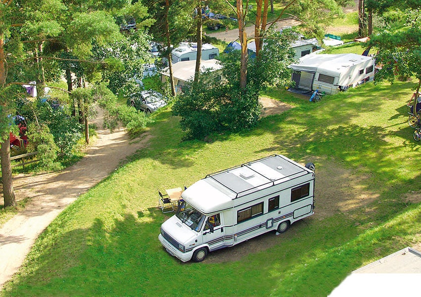
Camping- und Ferienpark Havelberge
*****
ACSI Eurocamping
53.30883000
13.00225000
Camping- und Ferienpark Havelberge
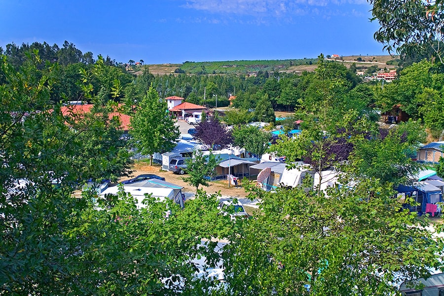
Camping El Helguero
n.b.
ACSI Eurocamping
43.38297000
-4.24628000
Camping El Helguero
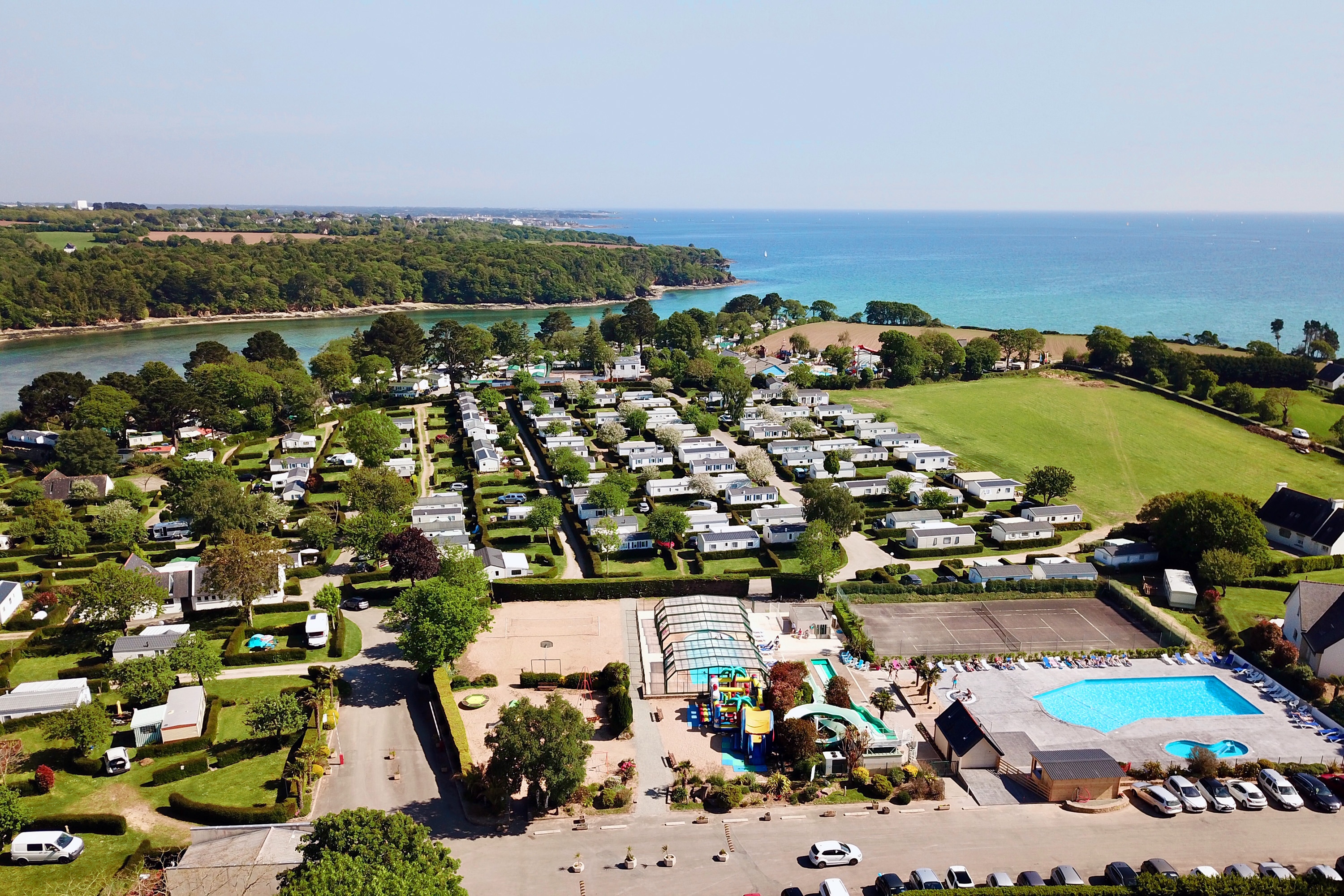
Camping De Kérantérec
****
ACSI Eurocamping
47.89869000
-3.95622000
Camping De Kérantérec
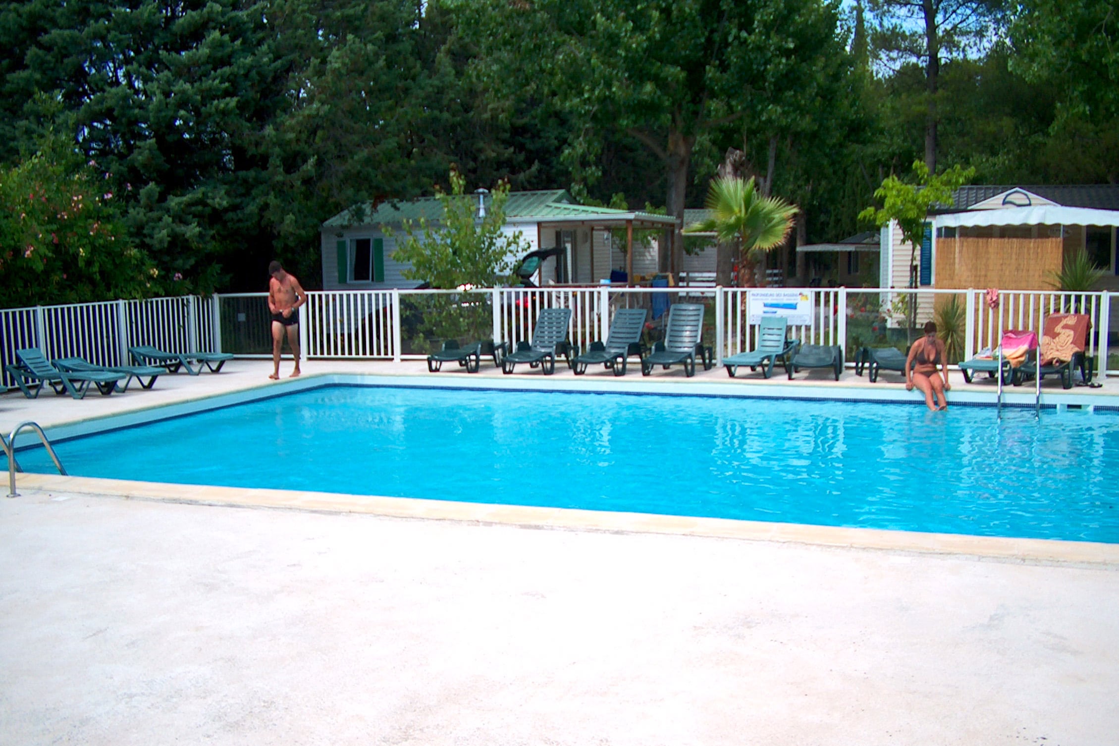
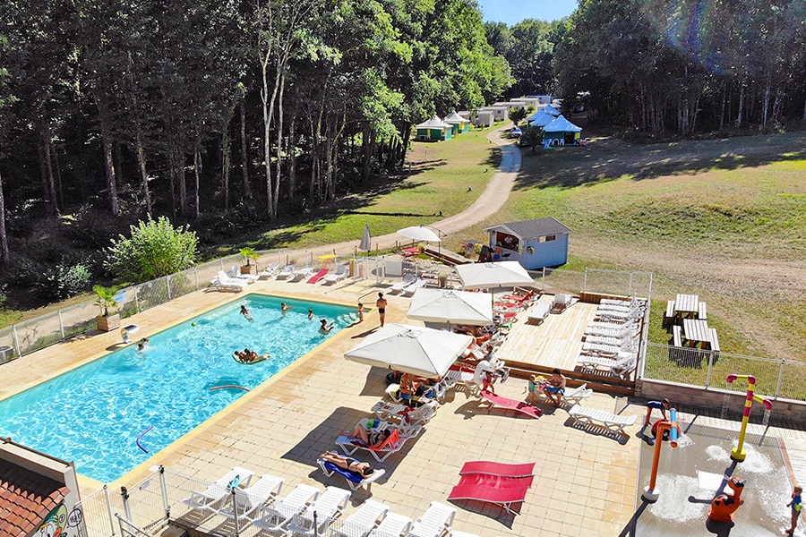
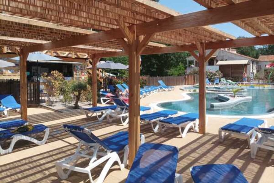
Camping Le Parc
***
ACSI Eurocamping
43.57647000
3.92561000
Camping Le Parc
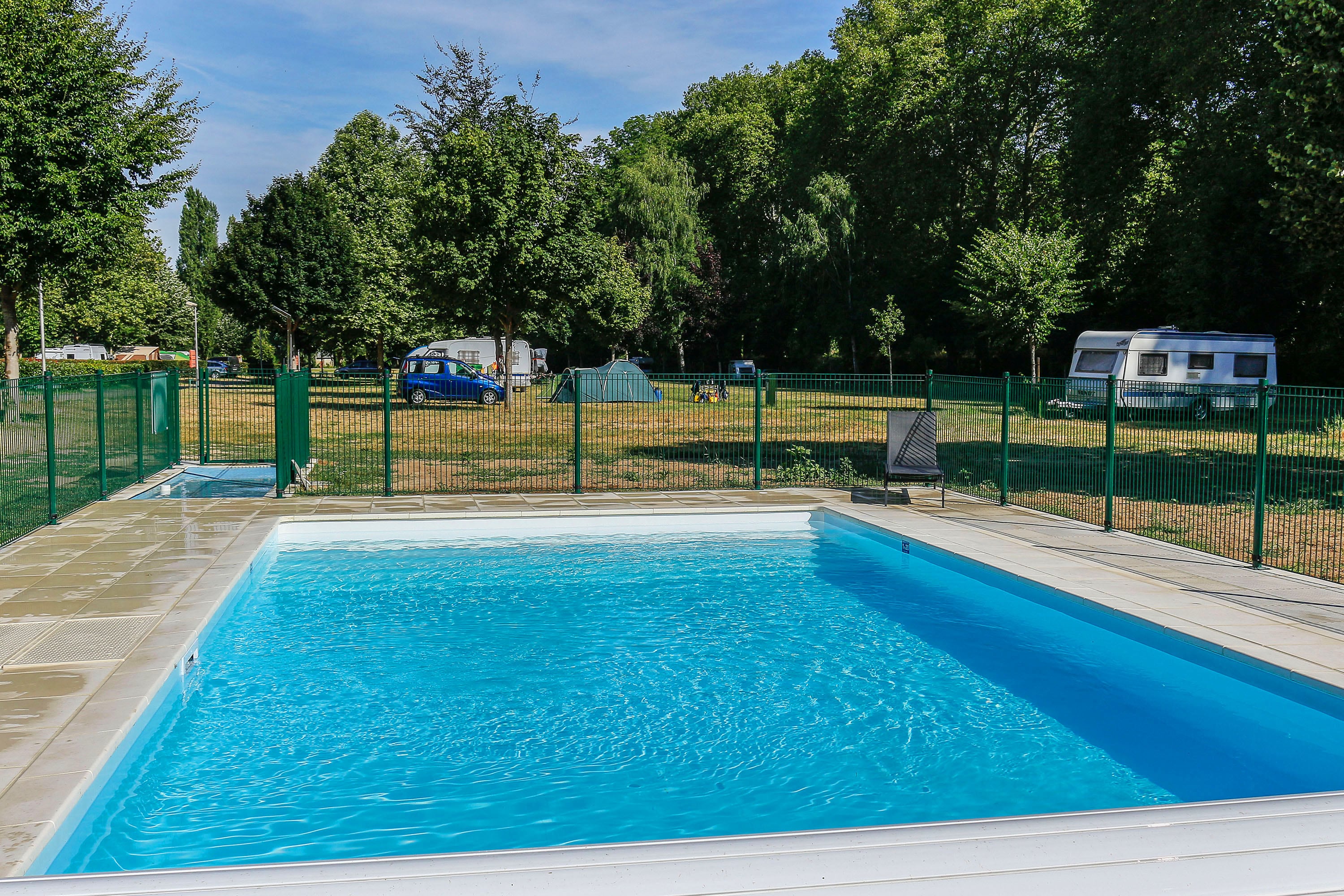
Camping Domaine de Corneuil
***
ACSI Eurocamping
45.47081000
0.53628000
Camping Domaine de Corneuil
Flower Camping Moulin des Iscles
***
ACSI Eurocamping
43.44539000
6.65792000
Flower Camping Moulin des Iscles
Camping Seasonova Le Martinet
***
ACSI Eurocamping
47.64161000
2.72578000
Camping Seasonova Le Martinet
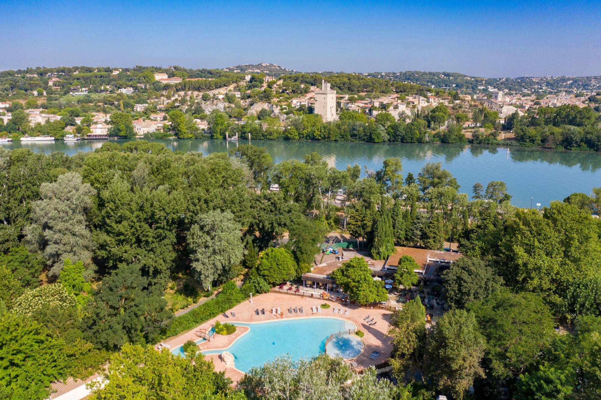
Camping du Pont d'Avignon
****
ACSI Eurocamping
43.95656000
4.80200000
Camping du Pont d'Avignon
Camping de Paris
****
ACSI Eurocamping
48.86831000
2.23483000
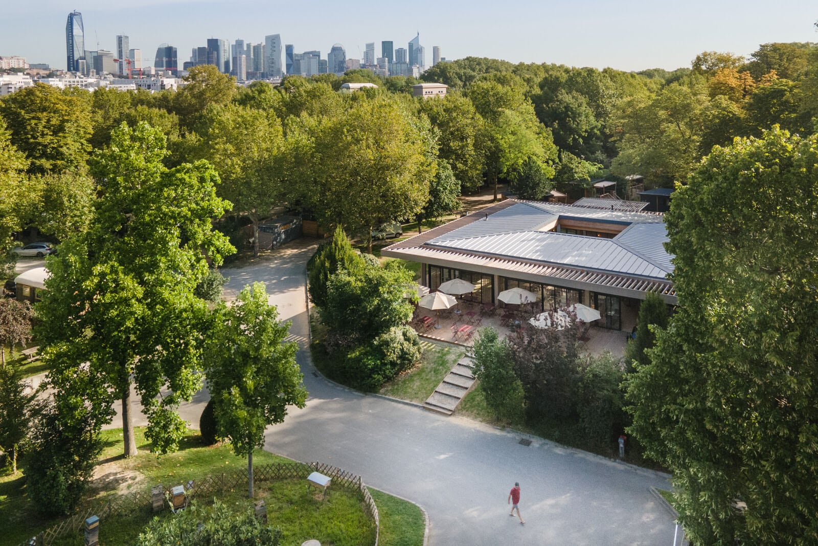
Camping de Paris
Pausado Camping Le Luberon
****
ACSI Eurocamping
43.86622000
5.41317000
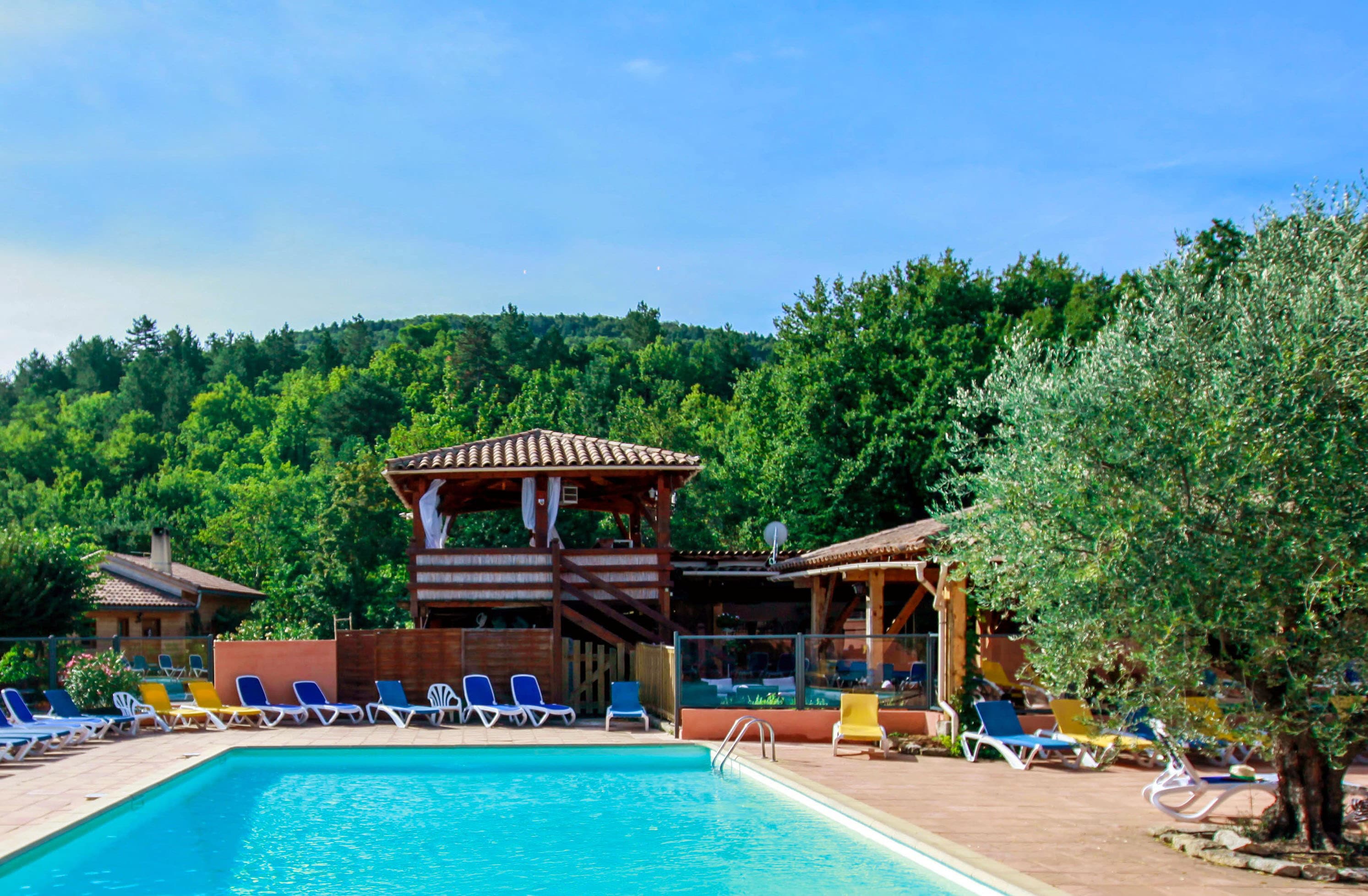
Pausado Camping Le Luberon
Paginering
Eerste pagina
« Eerste
Vorige pagina
‹ Vorige
…
Pagina
2867
Pagina
2868
Pagina
2869
Pagina
2870
Huidige pagina
2871
Pagina
2872
Pagina
2873
Pagina
2874
Pagina
2875
…
Volgende pagina
Volgende ›
Laatste pagina
Laatste »
Abonneer op