Main navigation
Home
Caravans
Kampeershop
Alle artikelen
Barbecueën
Caravanartikelen
Chemische toiletten
Kampeerartikelen
Koken & servies
Tenten
Voortenten & luifels
Zaklampen
Deken slaapzakken
Tenten
Campings
Campings in België
Campings in Denemarken
Campings in Duitsland
Campings in Frankrijk
Campings in Griekenland
Campings in Italië
Campings in Kroatië
Campings in Luxemburg
Campings in Nederland
Campings in Noorwegen
Campings in Portugal
Campings in Slovenie
Campings in Spanje
Campings in Tsjechië
Campings in Zweden
Camping toevoegen
Bedrijven
Caravanbedrijven en dealers
Samenwerken?
Caravanbedrijf toevoegen
Camping toevoegen
Contact
Nieuws & tips
+ Verkopen
+ Inloggen
+ Registreer
Zoeken
Kruimelpad
Home
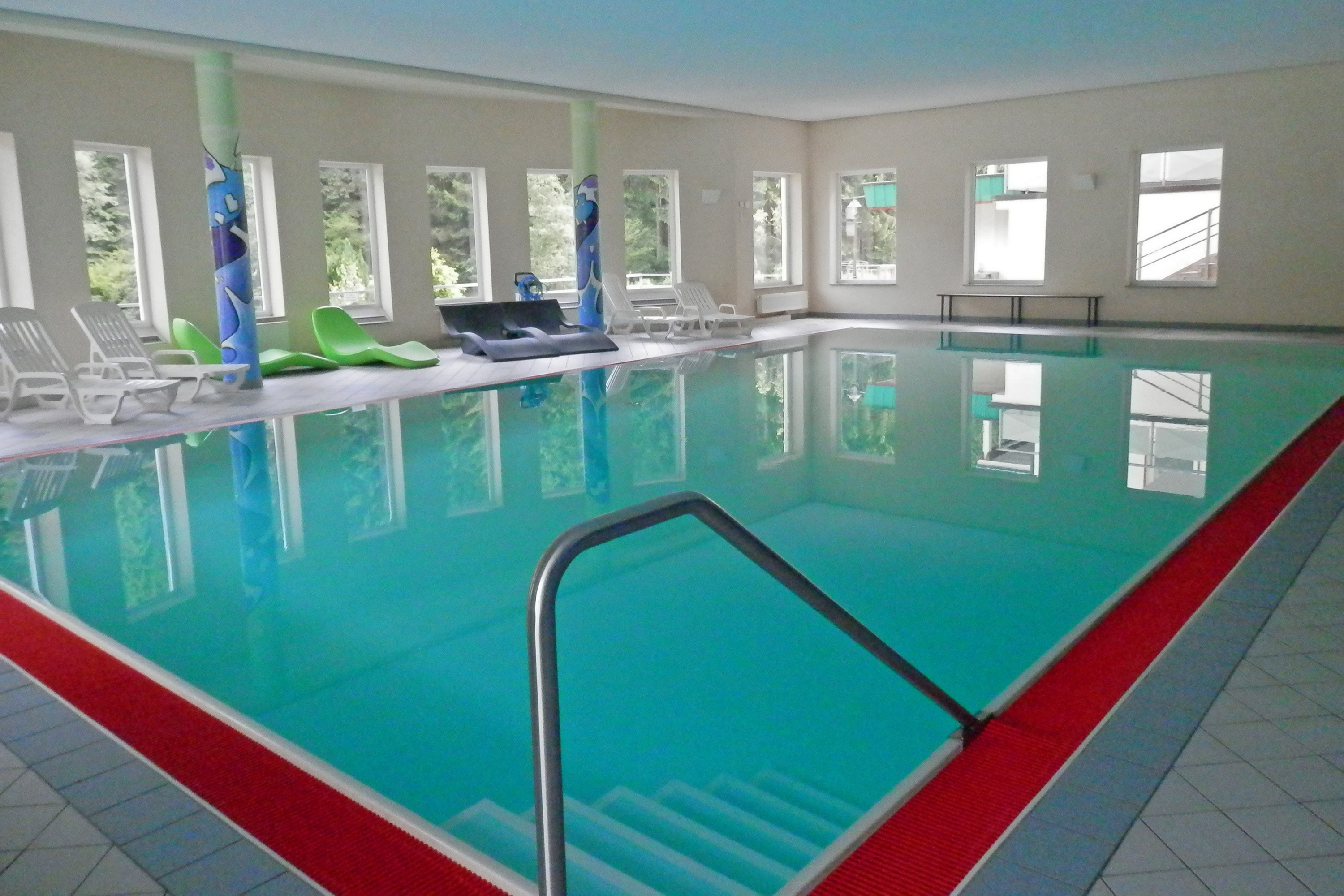
Family-Resort Kleinenzhof
*****
ACSI Eurocamping
48.73744000
8.57622000
Family-Resort Kleinenzhof
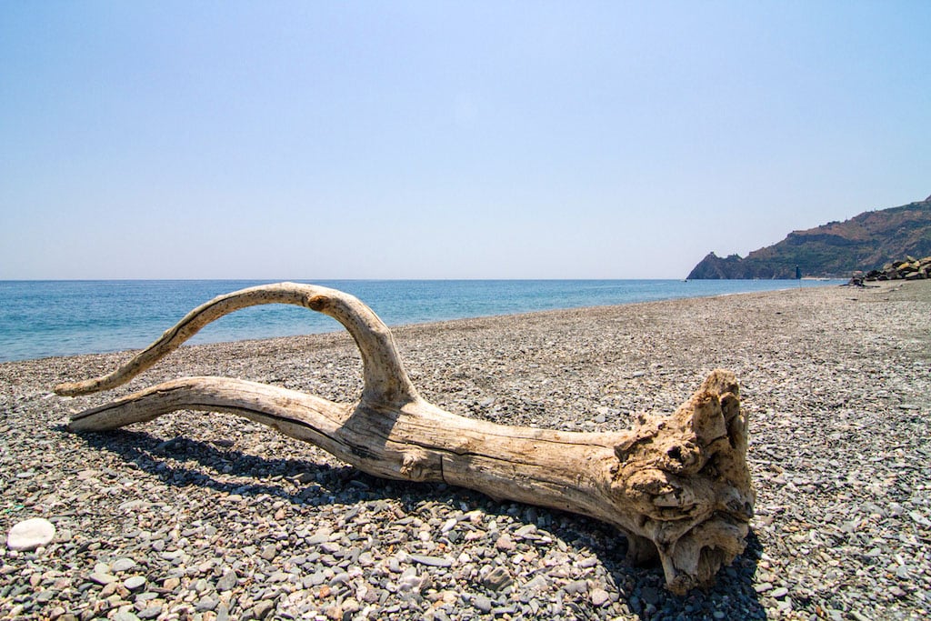
Camping La Focetta Sicula
**
ACSI Eurocamping
37.93161000
15.35550000
Camping La Focetta Sicula
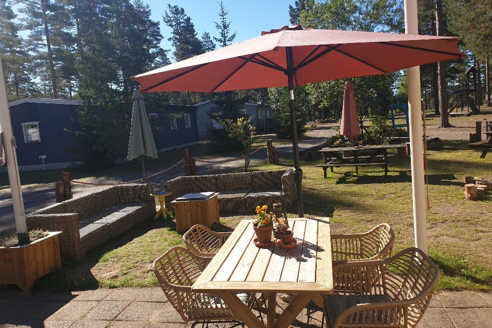
Naturcamping Lagom
****
ACSI Eurocamping
59.95039000
12.91433000
Naturcamping Lagom
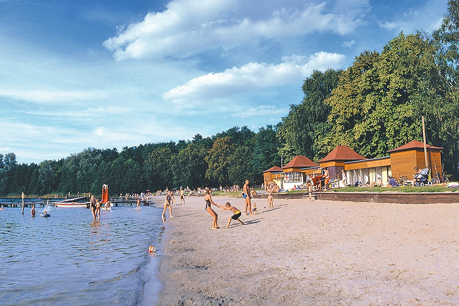
Camping Weißer See
****
ACSI Eurocamping
53.28397000
12.94842000
Camping Weißer See
Camping Hümmlinger Land
****
ACSI Eurocamping
52.86989000
7.68808000
Camping Hümmlinger Land
EuroParcs De Utrechtse Heuvelrug
****
ACSI Eurocamping
52.07750000
5.37931000
EuroParcs De Utrechtse Heuvelrug
Camping Du Bois de Reveuge
****
ACSI Eurocamping
47.44056000
6.34339000
Camping Du Bois de Reveuge
Camping Lestaubière
***
ACSI Eurocamping
44.99244000
0.59733000
Camping Lestaubière
Camping De Kleine Wereld
n.b.
ACSI Eurocamping
53.14958000
6.64428000
Camping De Kleine Wereld
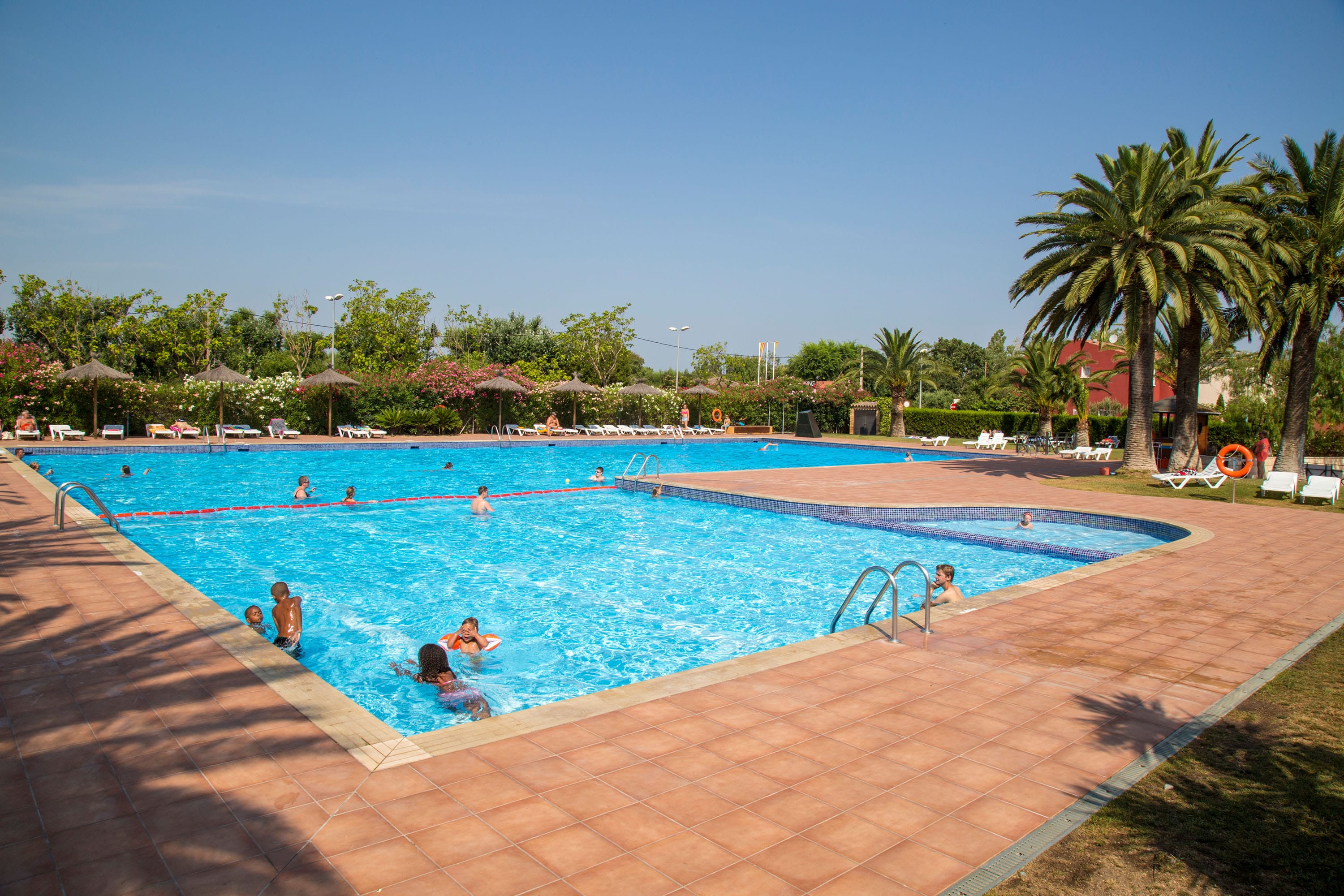
Camping Mas Nou
****
ACSI Eurocamping
42.26456000
3.10156000
Camping Mas Nou
Paginering
Eerste pagina
« Eerste
Vorige pagina
‹ Vorige
…
Pagina
2871
Pagina
2872
Pagina
2873
Pagina
2874
Huidige pagina
2875
Pagina
2876
Pagina
2877
Pagina
2878
Pagina
2879
…
Volgende pagina
Volgende ›
Laatste pagina
Laatste »
Abonneer op