Main navigation
Home
Caravans
Kampeershop
Alle artikelen
Barbecueën
Caravanartikelen
Chemische toiletten
Kampeerartikelen
Koken & servies
Tenten
Voortenten & luifels
Zaklampen
Deken slaapzakken
Tenten
Campings
Campings in België
Campings in Denemarken
Campings in Duitsland
Campings in Frankrijk
Campings in Griekenland
Campings in Italië
Campings in Kroatië
Campings in Luxemburg
Campings in Nederland
Campings in Noorwegen
Campings in Portugal
Campings in Slovenie
Campings in Spanje
Campings in Tsjechië
Campings in Zweden
Camping toevoegen
Bedrijven
Caravanbedrijven en dealers
Samenwerken?
Caravanbedrijf toevoegen
Camping toevoegen
Contact
Nieuws & tips
+ Verkopen
+ Inloggen
+ Registreer
Zoeken
Kruimelpad
Home
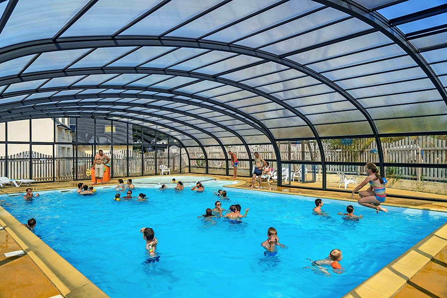
Camping Le Kergariou
***
ACSI Eurocamping
47.78281000
-3.58903000
Camping Le Kergariou
Camping und Mobilheimpark Am Mühlenteich
****
ACSI Eurocamping
50.09931000
7.57350000
Camping und Mobilheimpark Am Mühlenteich
Flower Camping Le Rompval
***
ACSI Eurocamping
50.07739000
1.41447000
Flower Camping Le Rompval
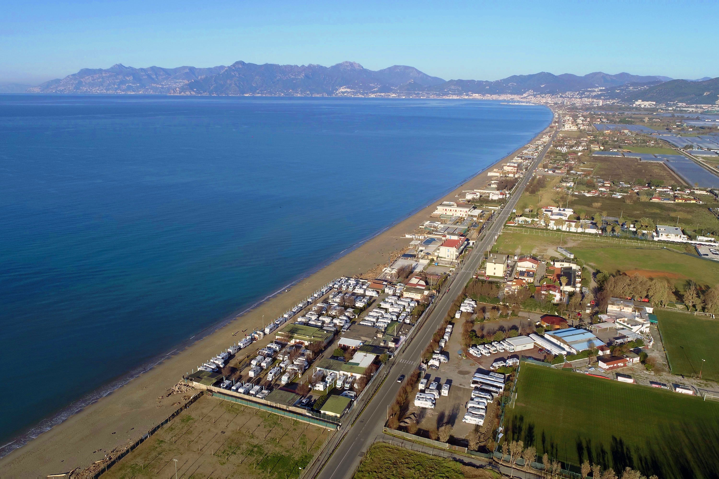
Camping Lido di Salerno
n.b.
ACSI Eurocamping
40.59544000
14.87111000
Camping Lido di Salerno
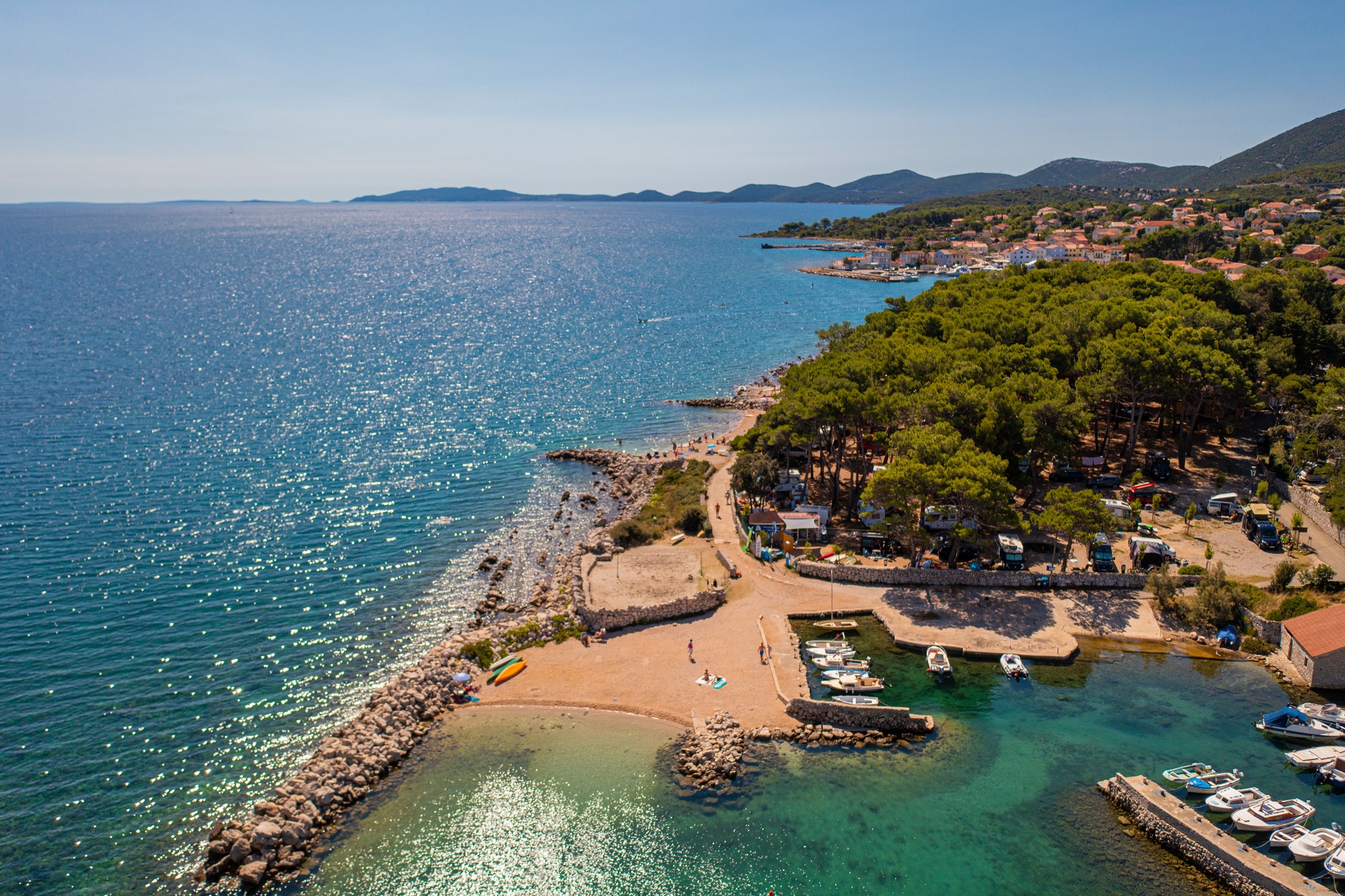
Rapoca Camping Village
***
ACSI Eurocamping
44.66358000
14.39747000
Rapoca Camping Village
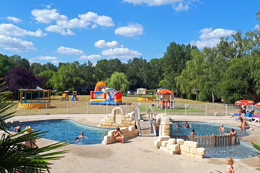
Flower Camping Les Granges
***
ACSI Eurocamping
47.38111000
0.55858000
Flower Camping Les Granges
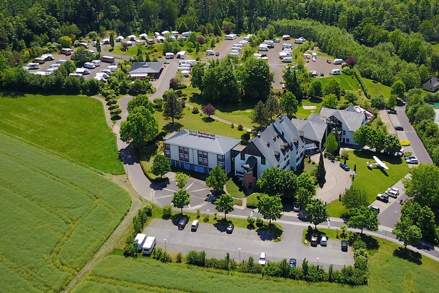
BurgStadt CampingPark
****
ACSI Eurocamping
50.06775000
7.45444000
BurgStadt CampingPark
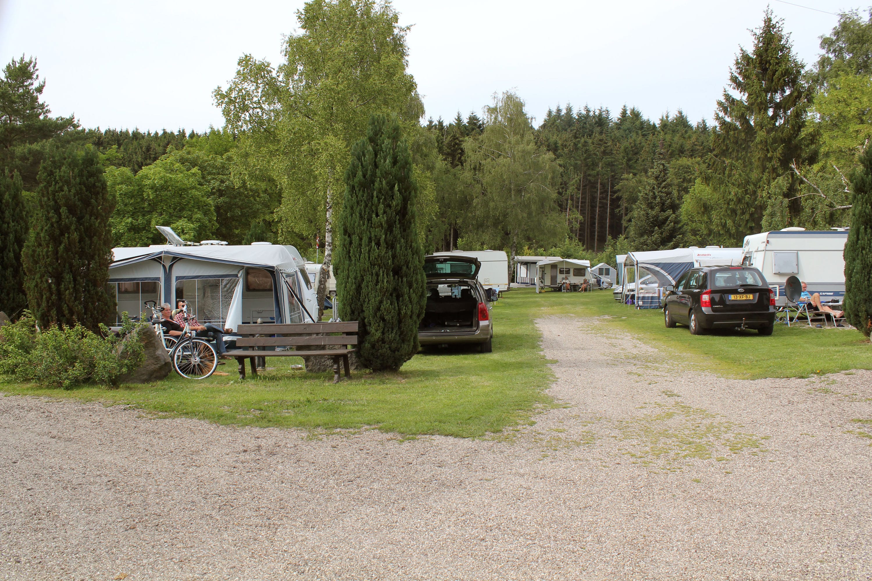
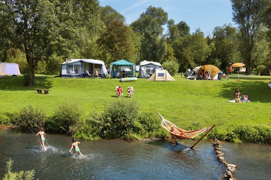
Camping De Klimberg
****
ACSI Eurocamping
52.56169000
6.55931000
Camping De Klimberg
Camping de Chênefleur
****
ACSI Eurocamping
49.68492000
5.52061000
Camping de Chênefleur
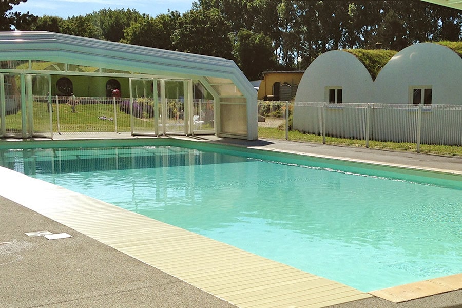
Camping Paradis des Pins-Soulac
****
ACSI Eurocamping
45.48286000
-1.12719000
Camping Paradis des Pins-Soulac
Paginering
Eerste pagina
« Eerste
Vorige pagina
‹ Vorige
…
Pagina
2870
Pagina
2871
Pagina
2872
Pagina
2873
Huidige pagina
2874
Pagina
2875
Pagina
2876
Pagina
2877
Pagina
2878
…
Volgende pagina
Volgende ›
Laatste pagina
Laatste »
Abonneer op