Main navigation
Home
Caravans
Kampeershop
Alle artikelen
Barbecueën
Caravanartikelen
Chemische toiletten
Kampeerartikelen
Koken & servies
Tenten
Voortenten & luifels
Zaklampen
Deken slaapzakken
Tenten
Campings
Campings in België
Campings in Denemarken
Campings in Duitsland
Campings in Frankrijk
Campings in Griekenland
Campings in Italië
Campings in Kroatië
Campings in Luxemburg
Campings in Nederland
Campings in Noorwegen
Campings in Portugal
Campings in Slovenie
Campings in Spanje
Campings in Tsjechië
Campings in Zweden
Camping toevoegen
Bedrijven
Caravanbedrijven en dealers
Samenwerken?
Caravanbedrijf toevoegen
Camping toevoegen
Contact
Nieuws & tips
+ Verkopen
+ Inloggen
+ Registreer
Zoeken
Kruimelpad
Home
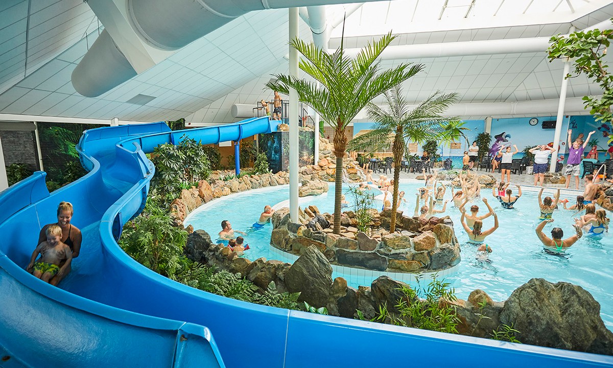
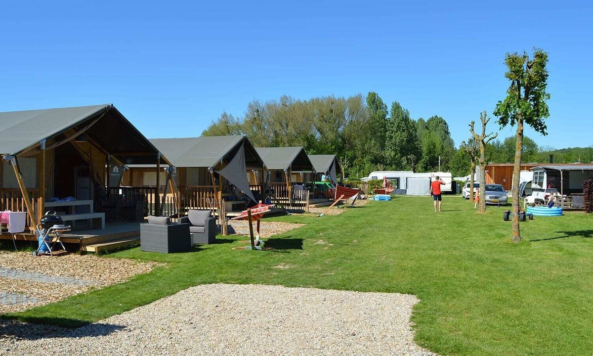
Camping de Leistert
5
Allcamps
Camping de Leistert
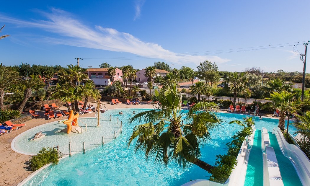
Camping l'Étoile de Mer
4
Allcamps
Camping l'Étoile de Mer
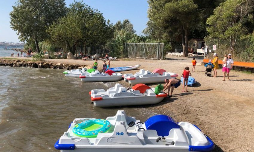
Camping Marina Plage
3
Allcamps
Camping Marina Plage
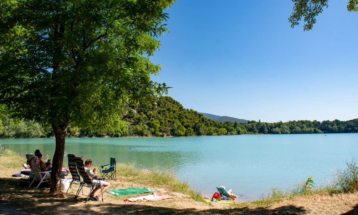
Camping de la Bonde
3
Allcamps
Camping de la Bonde
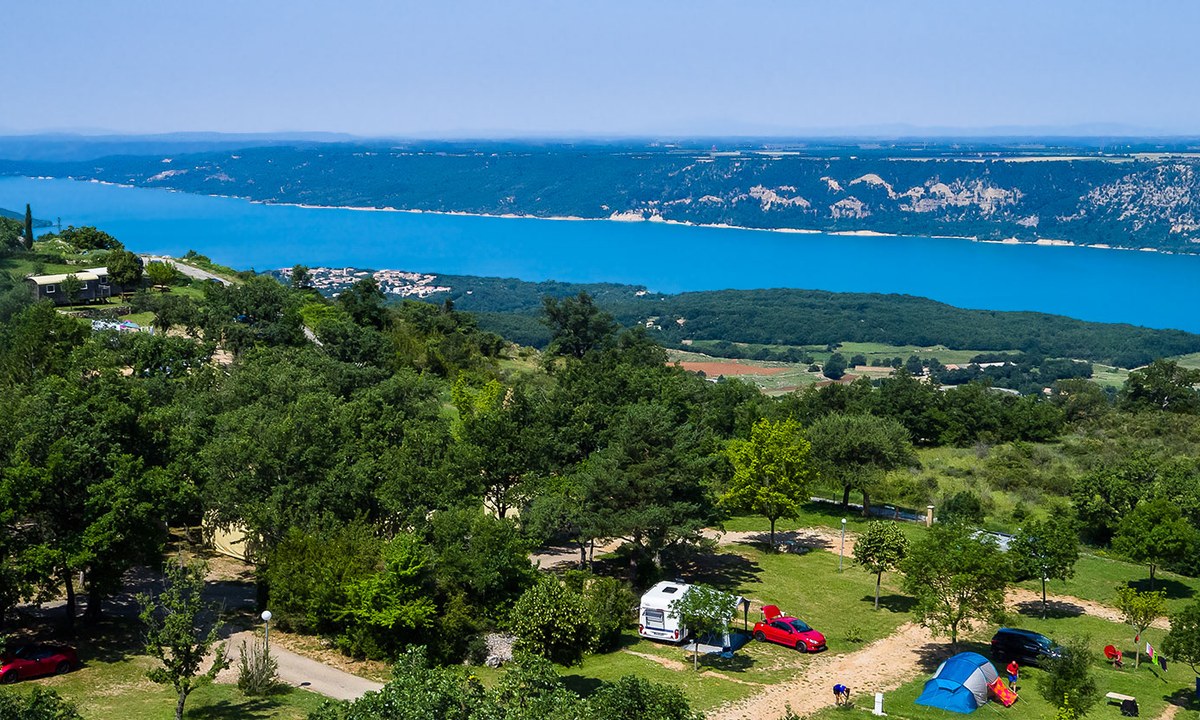
Camping de l'Aigle
3
Allcamps
Camping de l'Aigle
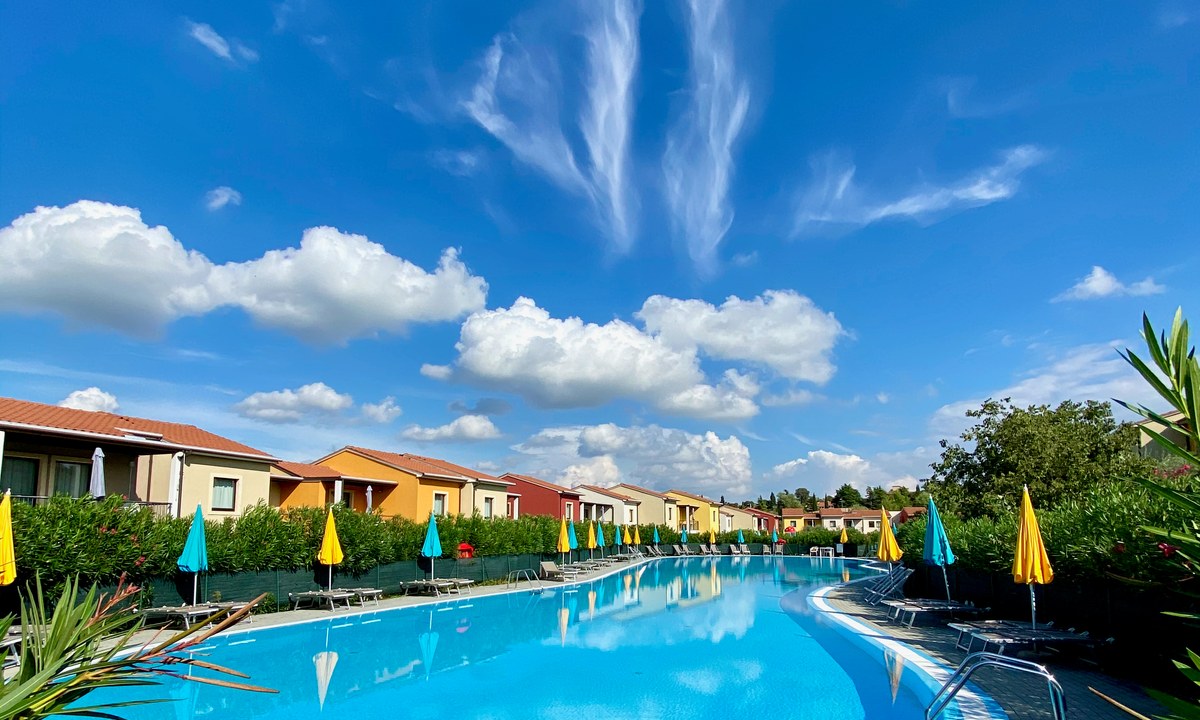
Vakantiepark Belvedere Village
3
Allcamps
Vakantiepark Belvedere Village
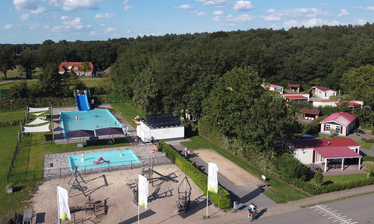
Vakantiepark de Luttenberg
5
Allcamps
Vakantiepark de Luttenberg
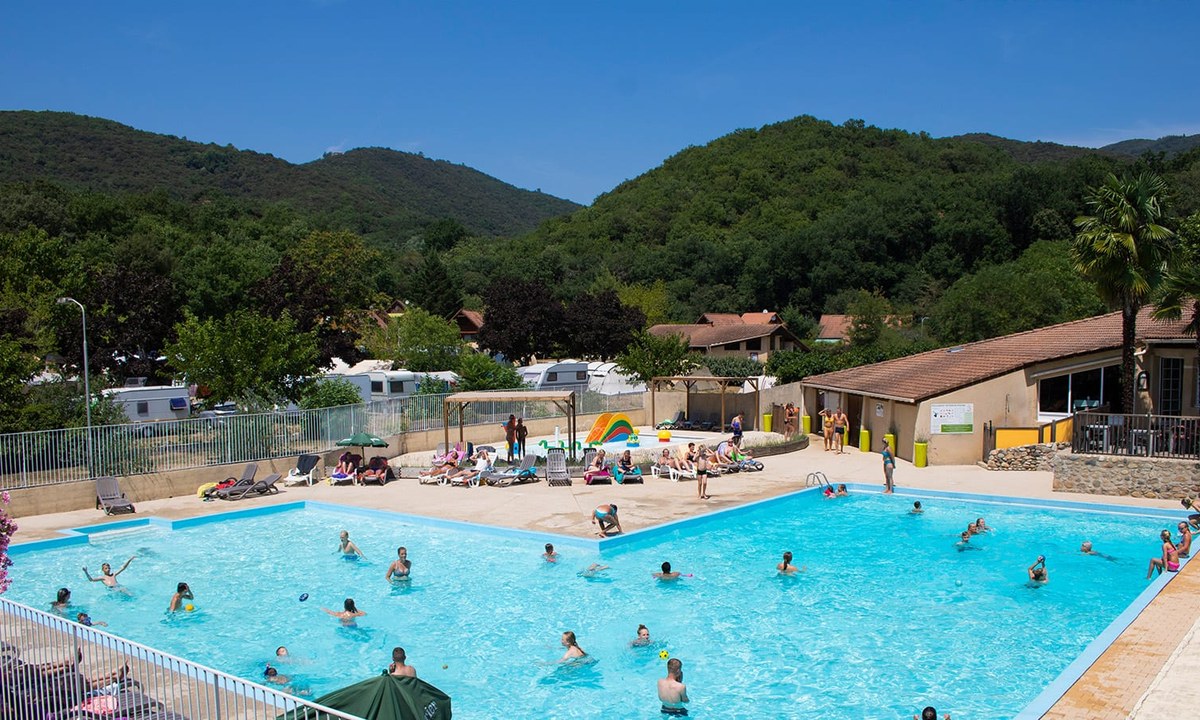
Camping La Garenne (Ardèche)
4
Allcamps
Camping La Garenne (Ardèche)
Camping 't Geuldal
4
Allcamps
Camping 't Geuldal
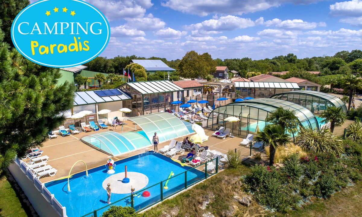
Camping Paradis La Bretonnière
4
Allcamps
Camping Paradis La Bretonnière
Paginering
Eerste pagina
« Eerste
Vorige pagina
‹ Vorige
…
Pagina
2987
Pagina
2988
Pagina
2989
Pagina
2990
Huidige pagina
2991
Pagina
2992
Pagina
2993
Pagina
2994
Pagina
2995
…
Volgende pagina
Volgende ›
Laatste pagina
Laatste »
Abonneer op