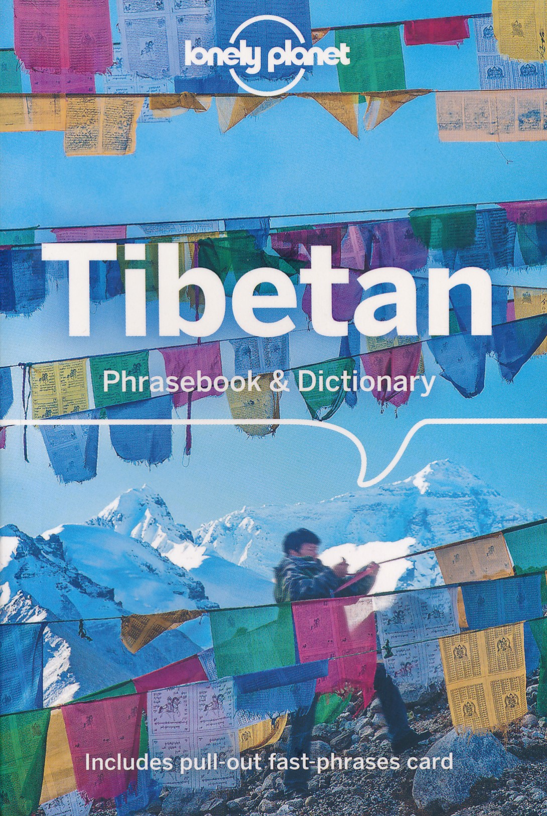
€ 11.50
Wegenkaart - landkaart Argentinië - Argentina | Borch

Mooie, geplastificeerde kaart van het Argentinië. Deze kaart biedt een goed overzicht van het land met detailkaarten.


Our soft-laminated folded map of Argentina shows: Argentina 1:3 800 000, Isla Grande de Tierra del Fuego 1:1 900 000, Los Glaciares National Park 1:750 000, Mount Fitz Roy 1: 250 000, Greater Buenos Aires 1:650 000, Buenos Aires 1:18 000, Cordoba 1:14 000, Salta 1:16 000, Argentina administrative and time zones. Borch Maps are easy to fold, durable and water-repellent with a wipeable surface. Borch Maps show hotels, museums, monuments, markets, public transport, top sights and points of interest, useful statistics, conversion charts for temperatures, weights and measurements, climate charts showing temperatures, sunshine hours, precipitation and humidity, overview maps, time zones, and much more...


Enchanted by the sophisticated European flair of Buenos Aires, watching the world go by from a sidewalk café whilst taking a break from the buzzing nightlife, one could almost forget that the land of tango, pampas, and legendary gauchos has more to offer than just charming clichés. Windsurfers, sun-worshippers and fishing enthusiasts enjoy the fabulous surf and broad sandy beaches around Mar del Plata. Cuyo, Argentina's wine country, offers outdoor activity all year round - from trekking and hang-gliding to waterskiing and sailing. In Patagonia, the eastern slopes of the Andes create a breathtaking landscape of towering volcanoes, shimmering lakes and sprawling forests - unforgettable sights for nature lovers who will be delighted by the abundant wildlife on Península Váldes, the jagged glacial peaks on windswept Tierra del Fuego, and the thunderous cascades of the Iguazú Falls. The scenic desert canyons in the northwest, with their colonial churches and largely indigenous population, ensure an authentically Andean experience.


€ 13.95
Wegenkaart - landkaart Galapagos Islands - Galapagos eilanden | ITMB

Een degelijke kaart met aanduidingen van o.a. nationale parken, vliegveld, benzinepomp, dirt-roads en kleine plattegrond van hoofdstad. Als overzichtskaart goed te gebruiken. 

It seems hard to believe that it has been six months since we enjoying snorkeling in the Galapagos, but time flies when you're having fun. We also used our time there productively and this is reflected in our new and whe hope improved edition of one of our most popular titles. This edition has three changes to note. The first is that we have updated the road network, basic though it is; the second is that most of the sketches that have graced the map for six editions have been replaced by photos, and the third is that the cover photo is one of our own pictures for the first time, thanks to Lan and a supremely proud frigate bird. Going to the Galapagos brought to our attention the importance of 'how' to do so. There are only two places on earth for visitors to leave from in order to land in the Galapagos - Quito and Quayaquil - so we've added large insets of both cities to the map to assist visitors needing to find their way around those cities before and after visiting the sea lions. 

Legend Includes:

Roads by classification, Ferry Route, Domestic Airport, National Park, Height in metres, Volcano, Rock, Hotel, Lighthouse, Point of Interest, Church, Beach, Post office, Hospital, Bank, Harbour, Taxi, Campsite, Scuba diving, Surfing, Fauna, Turtle Protection Area, Village and much more.

€ 24.95
Reisgids Färöer - Faroer | Edition Elch

Zeer uitgebreide gids over de Faroer Eilanden! Met veel achtegrond informatie over lanschap en dorpjes. Daarnaast worden 14 dag wandelingen beschreven. Met praktische info over overnachten, transport en eten en drinken.

Die 18 Inseln der Färöer liegen im rauen Nordatlantik zwischen Island (475 km), Norwegen (625 km) und Schottland (580 km). Kein Ort auf den Färöern ist weiter als 5 km vom Meer entfernt. Bei einer Umfrage von »National Geographic« zu den faszinierendsten Inseln, die man im Leben gesehen haben muss, belegten die Färöer Platz 1.


Reiseführer, Wanderführer und Bildband in einem – die Edition Elch hat den einzigen deutschsprachigen Reiseführer mit folgender Themenbreite: Porträt Färöer, 12 Inselrouten, 15 Wanderungen, Praktischer Teil. Plus Empfehlungen für Island-Transitreisende, die sich im Sommer (mit der Fähre kommend) für einen dreitägigen Färöer-Aufenthalt entscheiden. Zahlreiche eindrucksvolle Fotos werten das gebundene, wetterfeste Buch zusätzlich auf, darunter sind erstmals auch einige Bilder aus dem Winterhalbjahr.

Die acht Fotos unter dieser Einstimmung sind überwiegend Extras bzw. nicht im Buch zu finden.

€ 11.95
Wegenkaart - landkaart 553 Zuidoost Zwitserland | Michelin

Zoals je van Michelin mag verwachten zijn het onmisbare overzichtskaarten van een uitstekende kwaliteit: een duidelijk en goed leesbaar kaartbeeld.  Vrijwel alle berijdbare wegen staan er op ingetekend, in kleur verschillend voor grote en kleine wegen. Andere weginformatie omvat bijvoorbeeld kilometer-afstanden, tolwegen, helling-aanduiding, winterafsluitingen, tankstations maar ook de bekende groene routes: de mooiste wegen om te rijden.


Daarnaast geeft de kaart toeristische informatie met symbolen weer: bezienswaardigheden als kastelen, kloosters, musea, maar ook campings (niet allemaal overigens). De kaart is voorzien van een 4-talige legenda.


Toch hebben de makers door een beperkt gebruik van symbolen geen drukke kaart gemaakt. De kracht zit hem dan ook in de combinatie van meer dan voldoende informatie en goede leesbaarheid. 

Part of the orange regional series from Michelin, this Switzerland South East map shows this part of Switzerland in excellent detail. Primary & secondary road networks are clearly marked out with indications of the number of lanes, intermediate distances and various possible road obstacles or things you should know including steep hills, height limits, toll barriers, prohibited roads and roads subject to restrictions.

The map also includes small insets with street plans of Chur, Davos, St. Moritz, Locarno, and Lugano, showing road names, one way streets and various places of interest (tourist sights, hospitals, parking, railway stations, etc.). Scenic routes on the map are marked out in green and an extensive index of place names is included.


The map also features:


Administrative boundaries

Railways, Airports and Ferry Services

Important sights such as castles, ruins, and churches

Driving Times and Distance Charts

Road Safety Information

A legend in multiple languages, including English


Davos, Lugano, Suisse

€ 12.50
Wandelkaart - Wegenkaart - landkaart 338 Kos | Terrain maps

Gedetailleerde wegenkaart en wandelkaart met alle kleine wegen, wandelpaden, hoogtelijnen en toeristische informatie aangegeven. Alle tekst is tweetalig in Engels en Grieks en de waterproof kaart is geschikt voor gebruik met GPS.

This is a great map because:

It is the first GIS map of the island, meaning that this is the first time Kos is mapped with a topographic precision in proportion to the map scale. 

The road network of Kos is featured so completely for the first time. Every road, down to the secondary dirt roads and dead-ends, is illustrated on the map with precision. Naturally the main road network is clearly depicted, along with residential areas, the airport, the ports and the entire tourist infrastructure of Kos. 

It is waterproof and rip-proof. You can fold and unfold it a thousand times, fold it in irregular ways, dunk it in the sea or leave it out in the rain. This map is indestructible! 

It is remarkably detailed, as its scale is much larger (i.e. more detailed) than the competition’s, which makes everything crystal clear! 

It is the first time the island’s entire coastline is mapped. Cartography was done with TERRAIN’s specially equipped and staffed cartographic vessel. This means that you can locate all beaches of the island, down to the tiniest cove! In fact, the special features of every single beach are recorded: whether it is sandy or pebbled, whether it features natural tree shade, water, a beach bar or organized water sports, whether the seabed in front of the beach is sandy or rocky (so that you will know where to anchor). 


NOTE: In this first edition of the map of Kos, only the southern and a small portion of the island’s northern coast were mapped using TERRAIN’s cartographic vessel (due to strong northern winds during the mapping expedition). The majority of the northern coast was mapped by cartographers of the ground team, so some minor omissions may occur.

€ 19.50
Wegenkaart - landkaart Ireland West ( Ierland ) | Ordnance Survey Ireland

Hele duidelijke kaarten van een groot gebied: Ierland is in vieren gedeeld. Met alle noodzakelijke informatie, bijna topografisch van aard. Campings en bezienswaardigheden zijn er o.a. op terug te vinden! Veel wegen staan ingetekend, spoorlijnen, vliegvelden maar ook nationale parken zijn er goed op ingetekend.


Whether you are on a motoring tour or exploring cross-country, these maps show you how to get there. They contain a clear presentation of the road network. Tourist features such as tourist offices, official caravan parks and picnic areas are also shown. These are clearly marked and easy to follow. Planning your itinerary is therefore made as simple as possible.

€ 11.95
Wegenkaart - landkaart 2 India - West | Nelles Verlag

Goede kaart van een deel van India. Aan beide kanten bedrukt. Met veel toeristische aanduidingen als nationale parken en culturele bezienswaardigheden. Prima leesbare kaart.

Detailkaart: Mumbai (Bombay) 1 : 300.000
Stadsplattegrond: Delhi 1 : 50.000

one of five maps in a series covering India at 1:1 500 000 scale. Folded road and tourist map of western India, including edge of Pakistan to the west, Chandigarh to the north, Pune to the south and Bhopal and Delhi to the east. Points of interest, national parks, and railways are all highlighted and shaded-relief colouring clearly depicts the topography. 

The map includes insets showing central Delhi at 1:50 000 and Mumbai (Bombay) region at 1:300 000. The legend is in English, French and German. The other titles in the series are India East, India North, India North East, and India South. Nelles also produces a map of the whole Indian Subcontinent at a scale of 1:4 500 000.


For over 20 years Nelles maps have been renowned throughout the world for their quality, faithfulness to detail and up-to-dateness. 


So that streets, ferry links, railway lines, etc are always up to date, Nelles are continuously upgrading their maps - with the help of their international team of correspondents. Roads are provided with an exact kilometerage. Sights are highlighted extra clearly so that you don't miss any tourist attractions.


A good map must be hard-wearing and allow itself to be folded up simply and quickly. Nelles Maps are a handy pocket size with the reliable, practical concertina fold. In addition they use an extra high-quality speciality paper resulting in considerably increased fold strength.


€ 11.50
Wegenkaart - landkaart Aruba | Borch

Mooie, geplastificeerde kaart van Aruba. Deze kaart biedt een goed overzicht van het land met detailkaarten.


Our soft-laminated folded map of Aruba shows: Aruba 1:50 000, Beaches 1:25 000, Oranjestad 1:10 000, San Nicolas 1:20 000, ABC Islands 1:1 000 000, Lesser Antilles 1:7 000 000, Lesser Antilles time zones. Borch maps are easy to fold, durable and water-repellent with a wipeable surface. Borch Maps show hotels, museums, monuments, markets, public transport, top sights and points of interest, useful statistics, conversion charts for temperatures, weights and measurements, climate charts showing temperatures, sunshine hours, precipitation and sea temperatures, overview maps, time zones, and much more...


Aruba is the westernmost of the "ABC" islands (Aruba, Bonaire, Curaçao) and approximately 30 km off the coast of Venezuela. Sun-aficionados know these islands are home to probably the most beautiful sand beaches of the Caribbean. Wind and water conditions are ideal for the international windsurfing competitions held here and divers can enjoy the colourful splendour of protected reefs in crystal clear waters. The impressive cliffs of the east coast and the Arikok National Park are ideal for walks. Luxurious accommodation in the many excellent hotels (shown on our map), international cuisine in countless restaurants, as well as great entertainment in the casinos, ensure an exciting yet laid-back Caribbean vacation!


€ 24.95
Reisgids Zanzibar, Pemba en Mafia | Bradt Travel Guides

Zeer goede gids voor Zanzibar en betrouwbaar alternatief voor de Lonely Planet. Zo mogelijk nog completer! Zelfde soort informatie als de Lonely Planet: vol met praktische feiten en achtergronden. Engels.

A new, thoroughly updated ninth edition of the most comprehensive guide to Zanzibar available, with a complete review of accommodation listings to cover new options in all price brackets on all three main islands (over 300 properties visited personally). Also included is more detailed coverage of Zanzibar's cultural, historic and environmental status than in any other travel guide to the area, while many of the city/town/village maps have been redrawn and accurately updated, with every property, major attraction, eatery and road recorded to provide a detailed level of guidance. The authors aim to direct readers to the more ethically minded hotels, tour operators and activities, from a focus on fair-trade shopping opportunities to marine awareness guidelines.

Bradt's Zanzibar is the most frequently updated book on the islands: the authors are personally known in the region for their face-to-face, on-the-ground research methods and this is the book of choice for hoteliers and expatriate workers/residents on Zanzibar.


The guide also includes a dedicated section on southern Tanzanian safaris in the Selous and Ruaha National Park, making this the ideal choice for a bush and beach combination.

Zanzibar is a magical and evocative name, and for many the name alone is reason enough to come. The islands are magical and full of promise but the choices are vast: from the burgeoning hotel scene to the array of local operators offering seemingly the same trip. The authors have been visiting Zanzibar for more than 15 years and strive to provide all the information required to make the right choice of where to stay and how to make the most of your time on the islands, as well as offering details of how to get off the beaten track. They say: 'a tremendous amount of change has taken place, and yet it remains impossible not to be enchanted as you approach from the air, looking down on sparkling turquoise waters, darkened only by patch reefs, and punctuated by the billowing triangular white sails of passing dhows. We still always smile as we step off the plane, to be enveloped by Zanzibar's exotic blend of warmth, humidity and aromatic spices.'


Abonneer op