Main navigation
Home
Caravans
Kampeershop
Alle artikelen
Barbecueën
Caravanartikelen
Chemische toiletten
Kampeerartikelen
Koken & servies
Tenten
Voortenten & luifels
Zaklampen
Deken slaapzakken
Tenten
Campings
Campings in België
Campings in Denemarken
Campings in Duitsland
Campings in Frankrijk
Campings in Griekenland
Campings in Italië
Campings in Kroatië
Campings in Luxemburg
Campings in Nederland
Campings in Noorwegen
Campings in Portugal
Campings in Slovenie
Campings in Spanje
Campings in Tsjechië
Campings in Zweden
Camping toevoegen
Bedrijven
Caravanbedrijven en dealers
Samenwerken?
Caravanbedrijf toevoegen
Camping toevoegen
Contact
Nieuws & tips
+ Verkopen
+ Inloggen
+ Registreer
Zoeken
Kruimelpad
Home
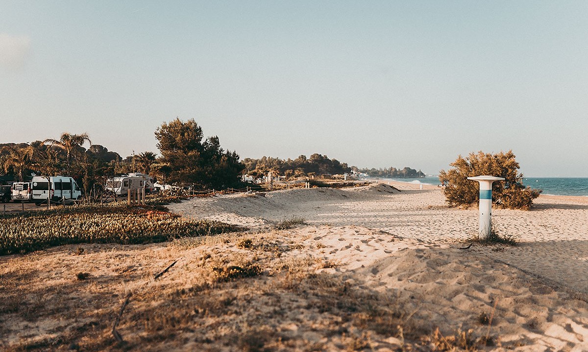
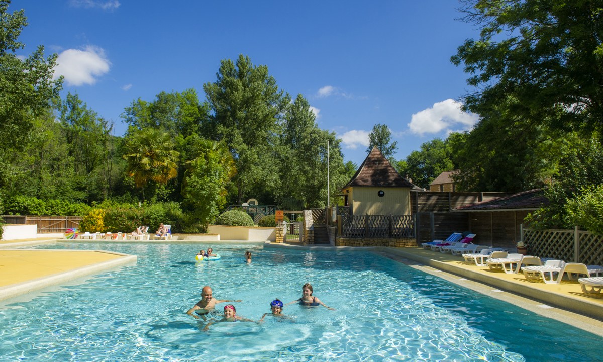
Camping Miramar
3
Allcamps
Camping Miramar
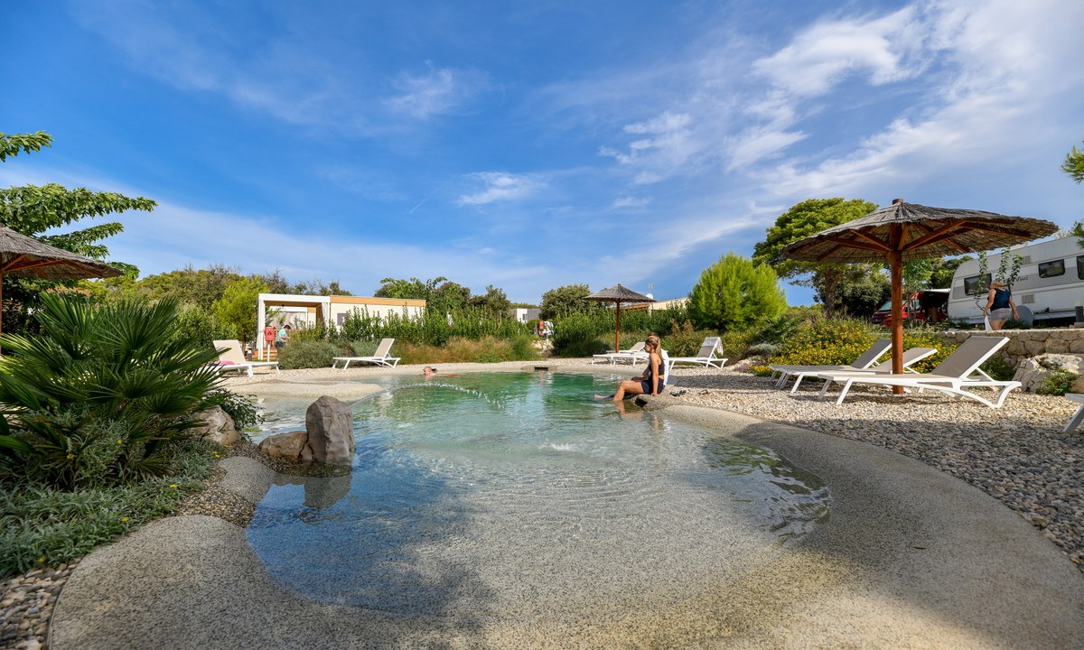
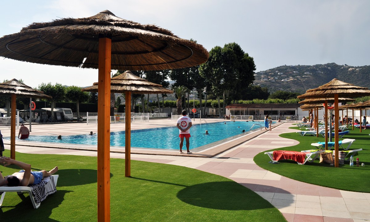
Camping Ugljan
4
Allcamps
Camping Ugljan
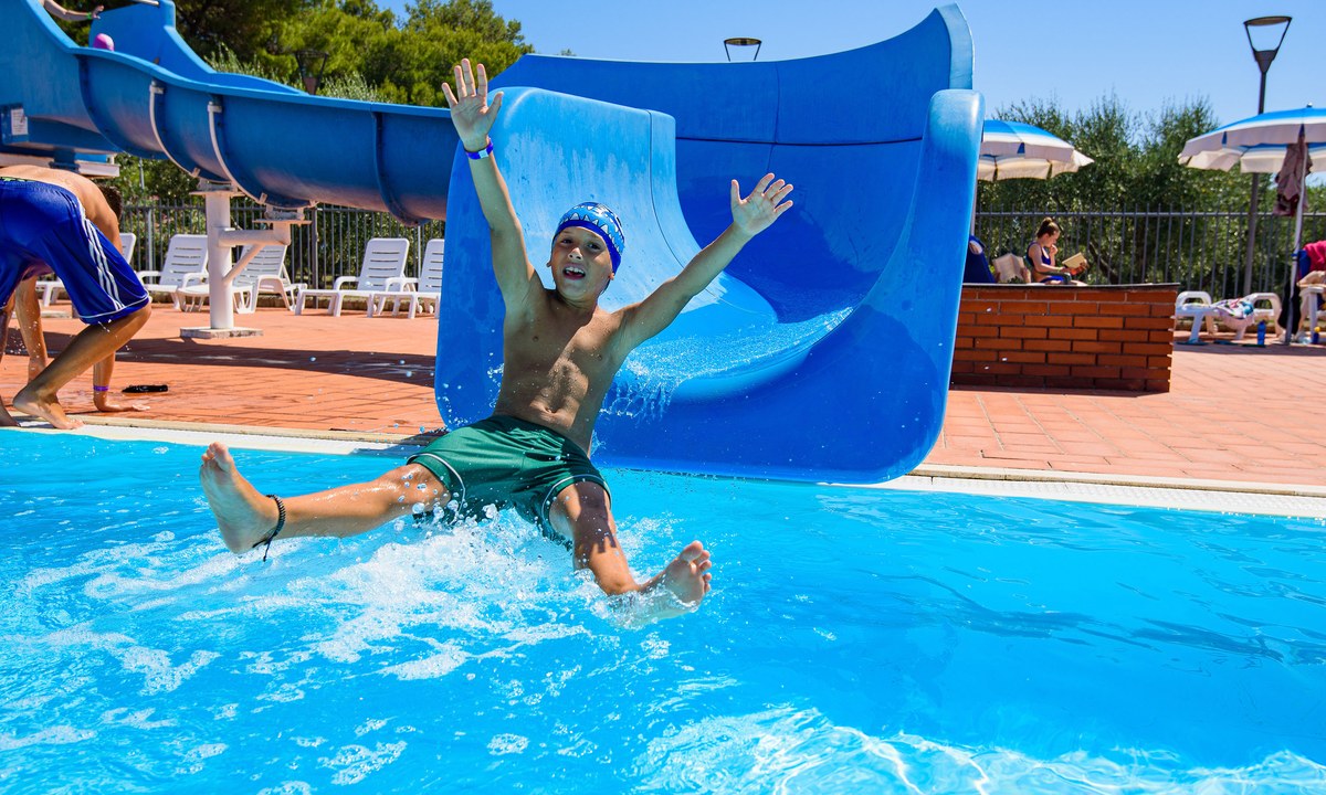
Camping Villaggio Orizzonte
4
Allcamps
Camping Villaggio Orizzonte
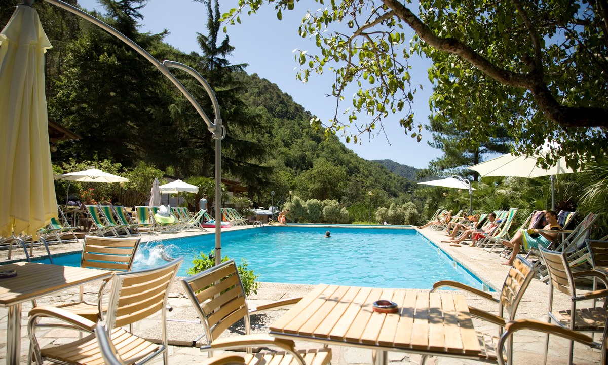
Camping delle Rose
4
Allcamps
Camping delle Rose
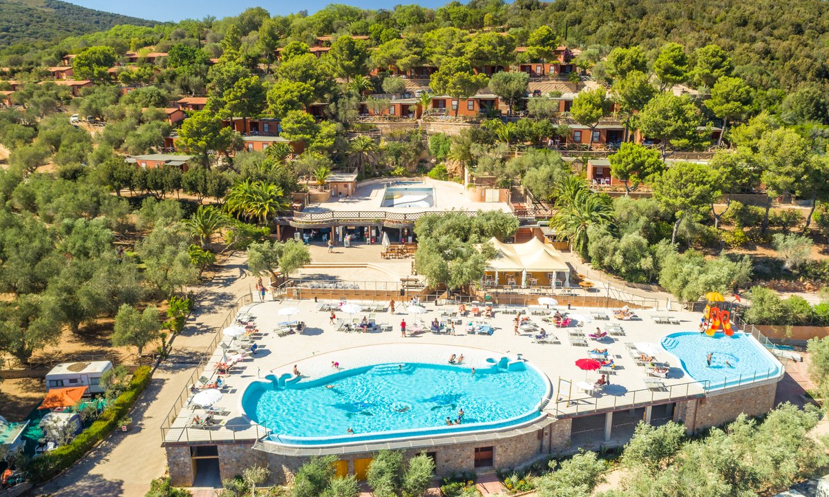
Camping Gitavillage Talamone
3
Allcamps
Camping Gitavillage Talamone
Camping Ametlla
4
Allcamps
Camping Ametlla
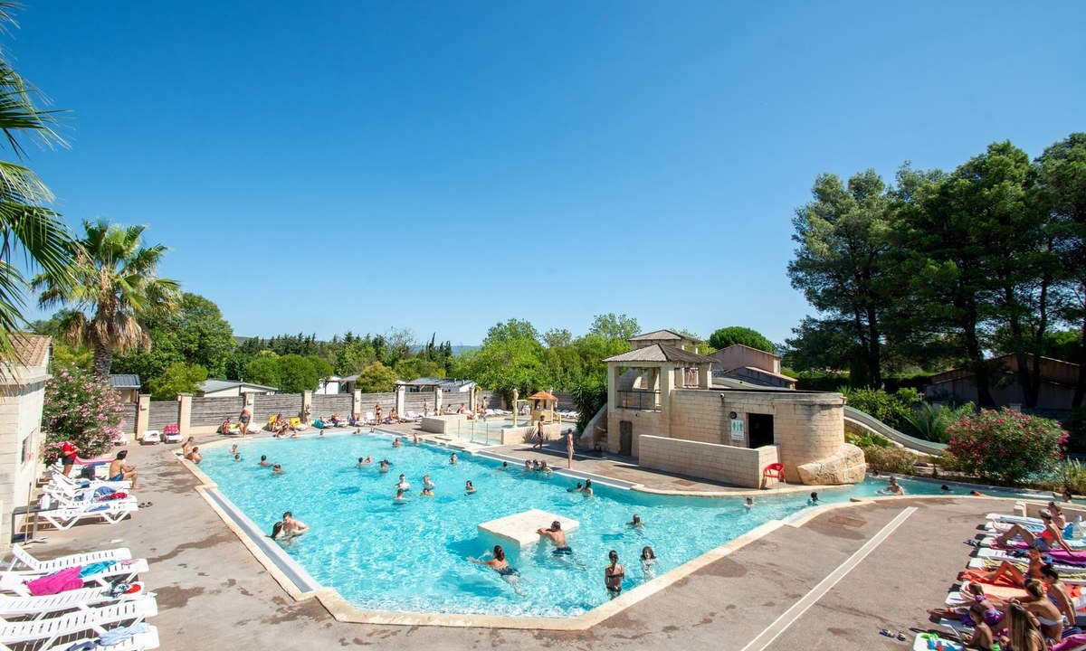
Camping La Prairie
3
Allcamps
Camping La Prairie
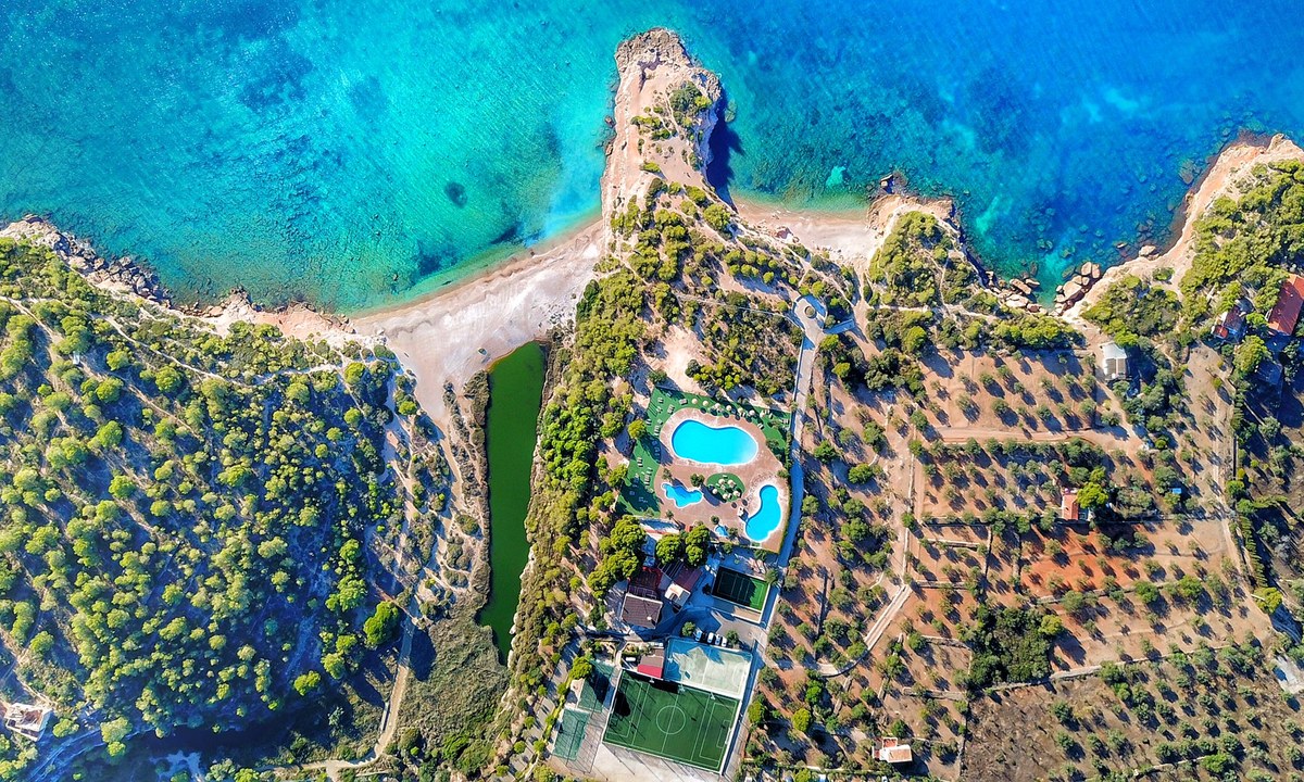
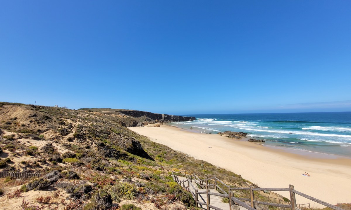
Camping Orbitur Sitava Milfontes
3
Allcamps
Camping Orbitur Sitava Milfontes
Marvilla Parks Aqua Viva
4
Allcamps
Marvilla Parks Aqua Viva
Camping Riembau
4
Allcamps
Camping Riembau
Paginering
Eerste pagina
« Eerste
Vorige pagina
‹ Vorige
…
Pagina
2989
Pagina
2990
Pagina
2991
Pagina
2992
Huidige pagina
2993
Pagina
2994
Pagina
2995
Pagina
2996
Pagina
2997
…
Volgende pagina
Volgende ›
Laatste pagina
Laatste »
Abonneer op