€ 13.50
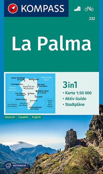
Wandelkaart 232 La Palma | Kompass

Goede wandelkaart met vrijwel alle topografische details als hoogtelijnen, vegetatie, schaduwtekening maar ook de ingetekende wandelroutes en in veel gevallen ook fietsroutes (MTB). Gevaarlijke routes worden als zodanig weergegeven met een bepaalde markering. Berghutten en campings zijn goed terug te vinden op deze kaarten.


Daarnaast staan de toeristische bezienswaardigheden met symbolen vermeld. Kleurgebruik kan soms vrij fel overkomen, daardoor oogt deze detailkaart wellicht wat druk, maar het blijft een goed leesbare kaart. Sommige kaarten zijn geplastificeerd, maar helaas niet allemaal. De graden staan aan de zijkanten van de kaart, daardoor te gebruiken voor GPS.


Steden/dorpen/gebieden:

San Domingo, Barlovento, San Juan de Puntallana, Santa Cruz, San José, Fuencaliente de la Palma, Puerto Naos, Los Llanos de Aridane, Puntagorda, El Paso


Bergen/dalen:

Roque de los Muchachos, Deseada, Volcan de San Martin


€ 11.95
Wegenkaart - landkaart 572 Asturias - Cantabria - Oviedo - Santander | Michelin

Zoals je van Michelin mag verwachten zijn het onmisbare overzichtskaarten van een uitstekende kwaliteit: een duidelijk en goed leesbaar kaartbeeld.  Vrijwel alle berijdbare wegen staan er op ingetekend, in kleur verschillend voor grote en kleine wegen. Andere weginformatie omvat bijvoorbeeld kilometer-afstanden, tolwegen, helling-aanduiding, winterafsluitingen, tankstations maar ook de bekende groene routes: de mooiste wegen om te rijden.


Daarnaast geeft de kaart toeristische informatie met symbolen weer: bezienswaardigheden als kastelen, kloosters, musea, maar ook campings (niet allemaal overigens). De kaart is voorzien van een 4-talige legenda.


Toch hebben de makers door een beperkt gebruik van symbolen geen drukke kaart gemaakt. De kracht zit hem dan ook in de combinatie van meer dan voldoende informatie en goede leesbaarheid. 

Part of the orange regional series from Michelin, this Asturia, Cantabria map shows this part of Spain in excellent detail. Primary & secondary road networks are clearly marked out with indications of the number of lanes, intermediate distances and various possible road obstacles or things you should know including steep hills, height limits, toll barriers, prohibited roads and roads subject to restrictions.

The map also includes small insets with street plans of Gijon, Oviedo and Santander, showing road names, one way streets and various places of interest (tourist sights, hospitals, parking, railway stations, etc.). Scenic routes on the map are marked out in green and an extensive index of place names is included.


The map also features:


Administrative boundaries

Railways, Airports and Ferry Services

Important sights such as castles, ruins, and churches

Driving Times and Distance Charts

Road Safety Information

A legend in multiple languages, including English


Asturies, Cantabrie, Espagne, Santander

€ 14.95
Wegenkaart - landkaart Madagascar - Madagaskar | Freytag & Berndt

Uitstekende, dubbelzijdige kaart van Madagascar. Met index, Nationale parken en afstanden in kilometers. Met Mauritius en Réunion er ook nog op.

Explore Madagascar with this Freytag & Berndt double-sided road map. The best way to plan your trip, prepare your itinerary, and to travel independently in this country. As with all Freytag & Berndt maps the cartography is clear and detailed with the topography shown by relief shading with plenty of spot heights.


The map also includes an inset showing the Comoros Islands and Mayotte at the same scale as the main map.


Tourist information and places of interest are clearly marked by a range of icons, including: 


railways, local airports and ferry routes

campsites

beaches

diving and windsurfing sites

UNESCO sites

spas, wells and caves


Distances between points are shown as well as indications of steep gradients, all distances are in kilometres. The legend is in several languages inlcuding English.


€ 11.95
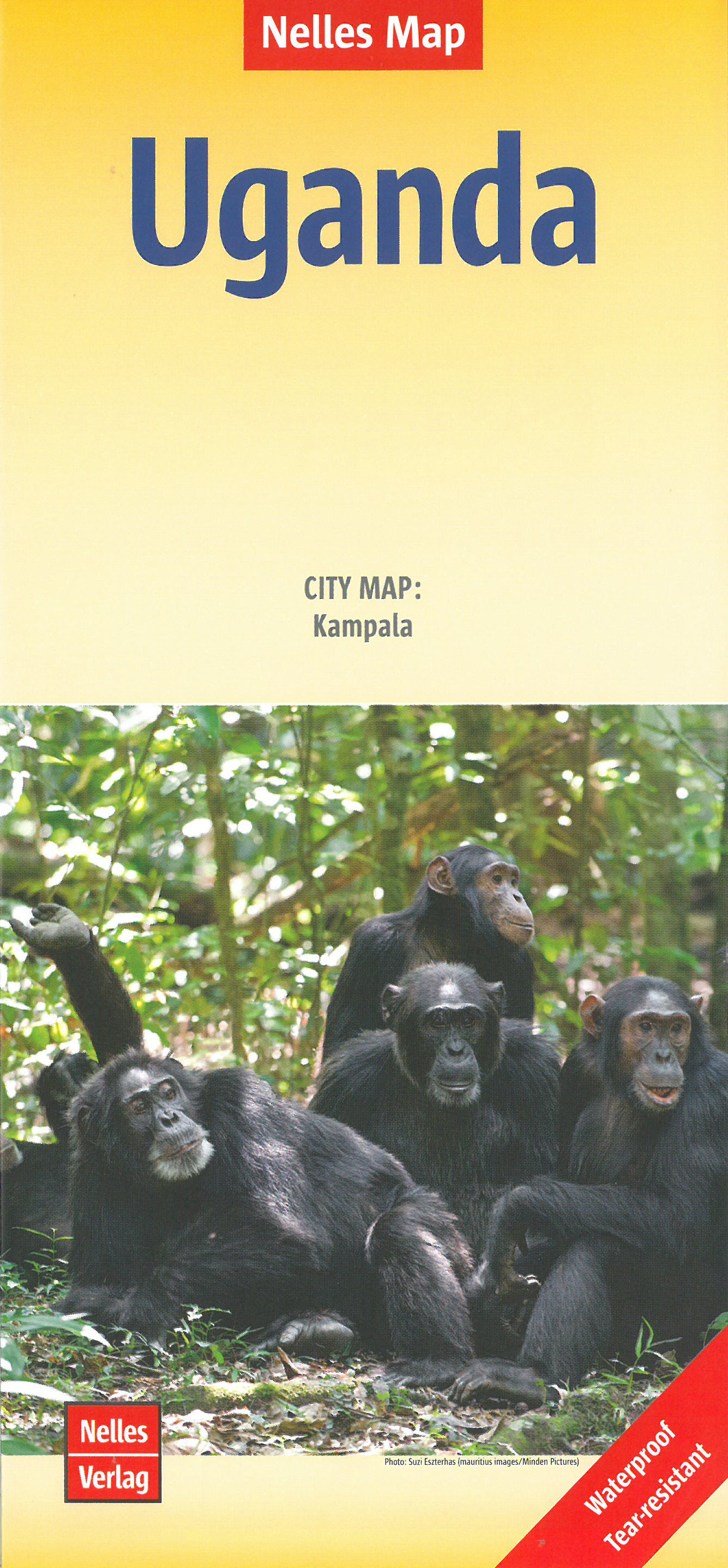
Wegenkaart - landkaart Oeganda - Uganda | Nelles Verlag

Goede kaart van Uganda. Aan beide kanten bedrukt. Met veel toeristische aanduidingen als nationale parken en culturele bezienswaardigheden. Prima leesbare kaart.

Kampala 1 : 15.000

Uganda at 1:700,000 on a double-sided map from Nelles with a smaller size sheet offering a convenient format for use when travelling. The map also includes a street plan of central Kampala highlighting public buildings and selected accommodation. 


The map divides the country north/south with a good overlap between the sides.

€ 13.95
Wegenkaart - landkaart Sikkim & India Northeast | ITMB

Een degelijke kaart met aanduidingen van o.a. nationale parken, vliegveld, benzinepomp, dirt-roads en kleine plattegrond van Calcutta. Beschrijft de punt van India tussen Nepal en Buthan.

De ene zijde van de kaart omvat Sikkim, schaal 1:135.000. De andere zijde van de kaart omvat Noordoost India, ten dele Nepal, Myanmar en China, schaal 1: 1.500.000. Kaart van Calcutta en Calcutta met omgeving.


Sikkim is an autonomous state between India and Chinese-controlled Tibet, much as Bhutan. It is a wonderful, mountainous country to visit, with reasonably good goads going far to the north, well into the Himalayas, and interesting temples/pagodas to see, as well as the fabulous Fam Rong Lho Wildlife Sanctuary. As anyone visiting this remote state needs to pass through the northeastern area of India to reach Sikkim, we have include a complete, detailed map of Bengal, Bihar, Meghalaya, and the Assam states as well as of the portion of Nepal abutting Sikkim, and an inset map of Kolkata. The map starts at Kolkata and extends to the Tibetan border, and from Patna in the west to the border with Burma -a lovely area of coverage- value added without an increase in price!

Legend Includes:
Roads by classification, Airports, Point of Interest, Public Overseas Phone, Hospitals, Police Station, Inspection Stations, Tourist Information, Stupas (Chorten), Monastery (Gompa), Buddhish Temples, Hindu Temples, Churches, Mosques, Camping grounds, National Park, Harbour, Border Gate, and much more.


€ 23.95
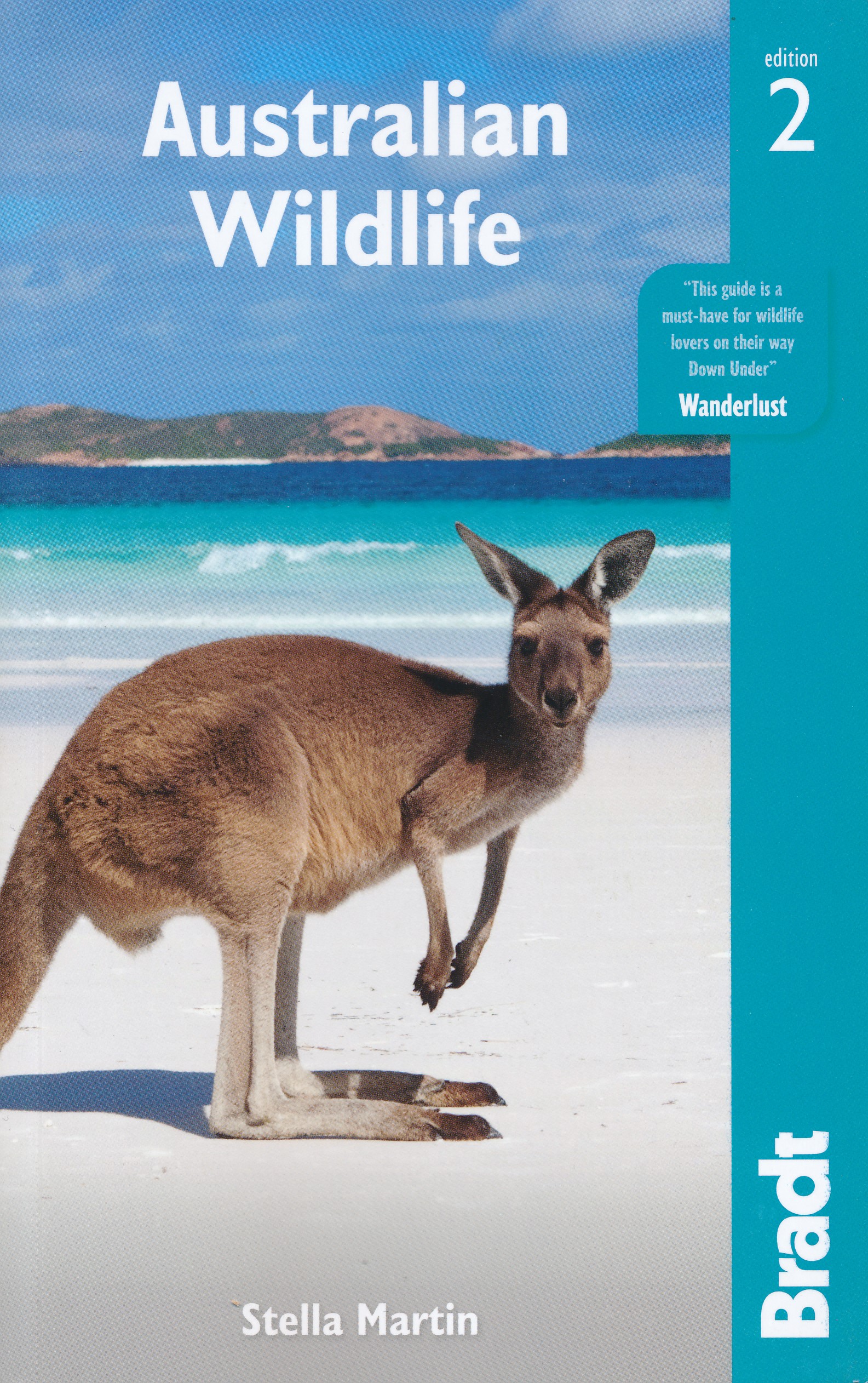
Natuurgids Australian wildlife - Australië | Bradt Travel Guides

Voor vele landen net zo goed, zo niet beter dan de Planet. In dit geval de natuur uitvoering voor Australië; compact, compleet en rijk geïllustreerd.

Bradt: Australia's ancient continent tops the list for wildlife-seeking travellers with its unique creatures roaming diverse habitats, from eucalyptus-dotted woodlands to the awe-inspiring beauty of the coral reefs. All the essential information of a reference book – from biology to behaviour – is found in one handy, readable guide. Wildlife writer Stella Martin guides visitors though dense rainforest and across parched deserts to discover how bizarre creatures evolved in isolation. Martin combines the encyclopaedic knowledge of David Attenborough with the enthusiasm of the late Steve Irwin. Find out why some fish change sex and how thorny devils drink. Bradt's indispensable Australian Wildlife is a book to read in bed, which will get you up at dawn and out with your binoculars in the outback.

• First guide of its kind; comprehensive yet compact

• Details of the infamously dangerous creatures, first aid tips and how to survive in the outback

• Where to find wildlife, from national parks to off the beaten track

• For all types of traveller – from the backpacker to the conventional tourist to the ‘grey nomads’

€ 11.95
Wegenkaart - landkaart 4 India South - Zuid | Nelles Verlag

Goede kaart van een deel van India. Aan beide kanten bedrukt. Met veel toeristische aanduidingen als nationale parken en culturele bezienswaardigheden. Prima leesbare kaart, nu geplastificeerd!

Andaman and Nicobar Islands 1 : 1.500.000
Goa 1 : 750.000
Lakshadweep 1 : 1.500.000

Bangalore 1 : 50.000
Chennai (Madras) 1 : 50.000
Hyderabad 1 : 50.000
Thiruvananthapuram (Trivandrum) 1 : 50.000

€ 29.99
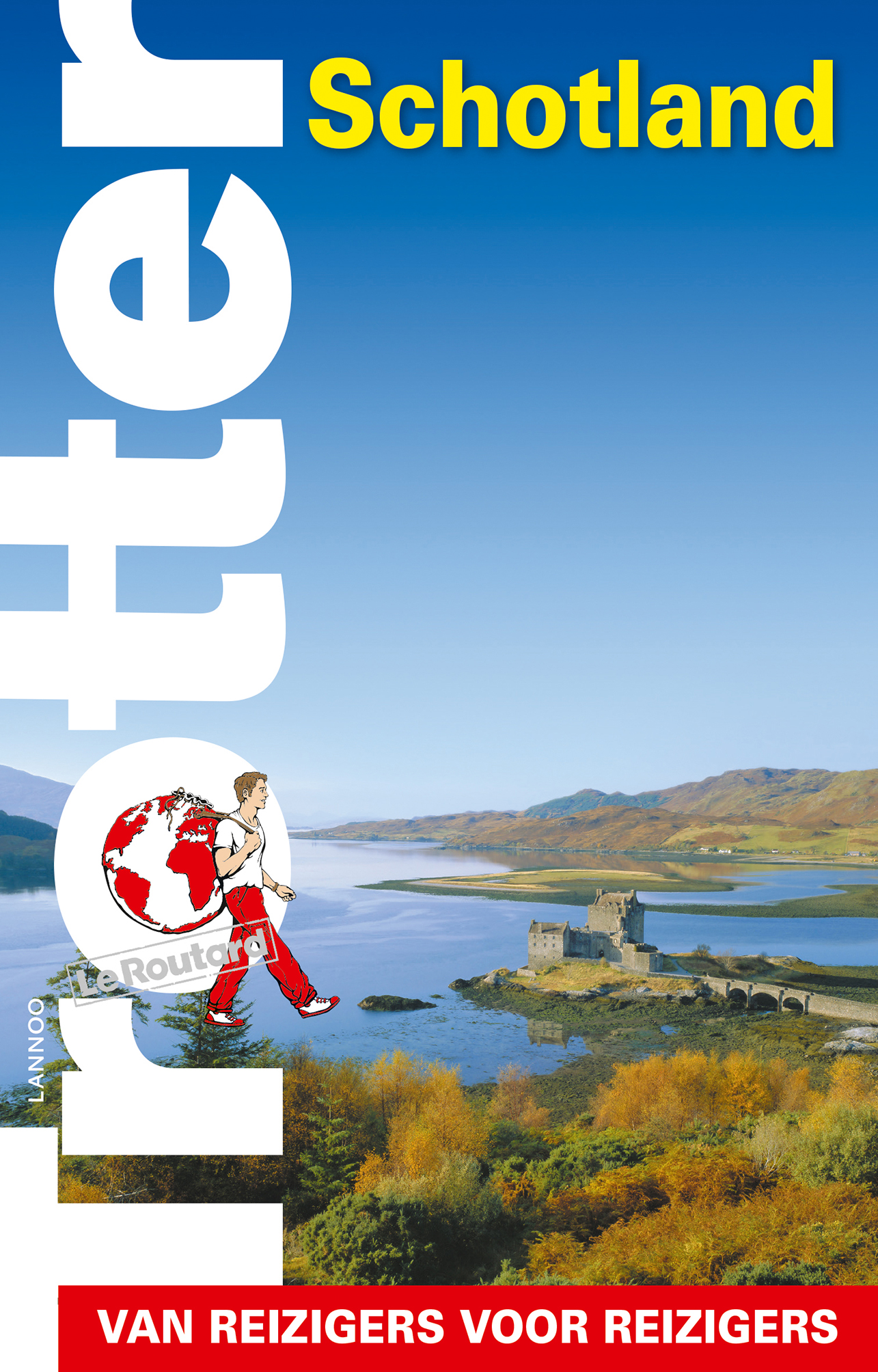
Reisgids Trotter Schotland | Lannoo

Goede informatieve gids met nadruk op praktische informatie om rond te reizen. Echter ook aandacht voor cultuur en geschiedenis. Geschreven met prachtige Belgische humor, oorspronkelijk Franse gids.

Deze Trotter-gids biedt de gebruikelijke informatie voor reizigers naar Schotland, maar weet geregeld net even meer te vertellen dan de meeste andere reisgidsen. Na een inleiding met algemene informatie worden achtereenvolgens behandeld: Edingburgh en omgeving, Glasgow en omgeving, Zuid-Schotland, Midden-Schotland, The Grampians, de Hooglanden en de eilanden. De streeksgewijze behandeling van interessante gebieden voldoet prima voor een trekkende toerist, en dat zijn de meeste Schotlandgangers. Wie wat gedetailleerder wil zoeken, moet een echte streekgids raadplegen. Het boek is niet geillustreerd, maar bevat enkele zwartwitte landkaartjes en plattegronden. Met register. Kleine, dunne letter.

Met steeds meer informatie over de lokale cultuur en bezienswaardigheden, uiteraard steeds kritisch gescreend. Ruime keuze aan grondig geteste hotelletjes, chambres d'hôtes, restaurants, tearooms ... Trotter heeft een aanbod voor alle categorieën van reizigers. Zeer handige plannetjes waarop alle adressen zijn aangeduid. De ideale gids om ter plaatse te gebruiken: een echte reisgezel.

€ 24.95
Reisgids Sweden - Zweden | Rough Guides

Zeer goede reisgids voor zowel de georganiseerde maar vooral voor de zelfstandige reiziger. Boordevol informatie over reizen, slapen, eten, maar ook musea en cultuur. Voor Europese landen meestal completer en beter dan de Lonely Planet !

This Sweden guidebook is perfect for independent travellers planning a longer trip. It features all of the must-see sights and a wide range of off-the-beaten-track places. It also provides detailed practical information on preparing for a trip and what to do on the ground.


And this Sweden travel guidebook is printed on paper from responsible sources, and verified to meet the FSC's strict environmental and social standards. This Sweden guidebook covers: Stockholm, Gothenburg, around Gothenburg, the southwest, the Southeast, the Bothnian Coast, Central Sweden, Swedish Lapland. Inside this Sweden travel book, you'll find: - A wide range of sights - Rough Guides experts have hand-picked places for travellers with different needs and desires: off-the-beaten-track adventures, family activities or chilled-out breaks- Itinerary examples - created for different time frames or types of trip- Practical information - how to get to Sweden, all about public transport, food and drink, shopping, travelling with children, sports and outdoor activities, tips for travellers with disabilities and more- Author picks and things not to miss in Sweden - river-rafting (Värmland), swimming in a lake, midnight sun, Gotland beaches, Birka, smorgasbord, Sami culture (Lapland), Gothenburg's Konstmuseum, Icehotel, Gammelstad (Luleå), Visby, Gamla Stan (Stockholm), Stockholm Archipelago, Inlandsbanan, Vasa Warship (Stockholm), Crossing the Arctic Circle, Herring, Bohuslan Coast, Kalmar Slott, Jokkmokk winter market, Europe's last wilderness, Orsa Rovdjurspark, a sauna and a splash - Insider recommendations - tips on how to beat the crowds, save time and money, and find the best local spots- When to go to Sweden - high season, low season, climate information and festivals - Where to go - a clear introduction to Sweden with key places and a handy overview - Extensive coverage of regions, places and experiences - regional highlights, sights and places for different types of travellers, with experiences matching different needs- Places to eat, drink and stay - hand-picked restaurants, cafes, bars and hotels- Practical info at each site - hours of operation, websites, transit tips, charges- Colour-coded mapping - with keys and legends listing sites categorised as highlights, eating, accommodation, shopping, drinking and nightlife - Background information for connoisseurs - history, culture, art, architecture, film, books, religion, diversity- Essential Swedish dictionary and glossary of local terms - Free download of the eBook - available after purchase of the printed guidebook to Sweden - Fully updated post-COVID-19The guide provides a comprehensive and rich selection of places to see and things to do in Sweden, as well as great planning tools.

€ 27.50
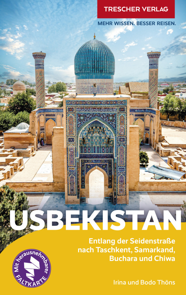
Reisgids Usbekistan - Oezbekistan | Trescher Verlag

Goede Duitstalige reisgids met veel culturele beschrijvingen. Daarnaast ook aandacht voor praktische zaken als overnachten en rondreizen. Bijzondere duitse uitgever, vaak als eerste een boek over een bepaald gebied of land. Zeer uitgebreide reisgids over Oesbekistan.

The four Uzbek M - mosques, minarets, madrasas and mausoleums - captivate everyone and fascinate with almost endless variations of blue and turquoise. The 14th, accentualised edition of the Trescher travel guide USBEKISTAN accompanies knowledgeably through the legendary places of the Silk Road and to sights away from the tourist routes. Culture enthusiasts visit the UNESCO World Heritage Sites Samarkand, Khiva, Bukhara and Shahrisabz in Uzbekistan. Trips to the Kyzylkum desert, trekking in the Boysuntog' mountains or a ride to the waning Aral Sea are impressive nature experiences. The Wüs-tenfestungen am Amudaryo, remnants of Buddhist monasteries and Zoroastrian fire temples testify to the rich history. The travel guide introduces all regions with all the attractions, including the modern capital of Tashkent or the Ferghana Valley. A regional chapter introduces Uzbek culture and illuminates historical backgrounds to recent developments. Recommendations for hotels, yurt camps, restaurants and bazaars, many city plans, a removable folding plan and a detailed travel practical part make it easier to orientate on site. The book provides detailed information for preparing for both Indian travelers and participants of group and study trips. More travel guides to the Silk Road and Central Asia can be found on the website of the Trescher Verlag


Abonneer op