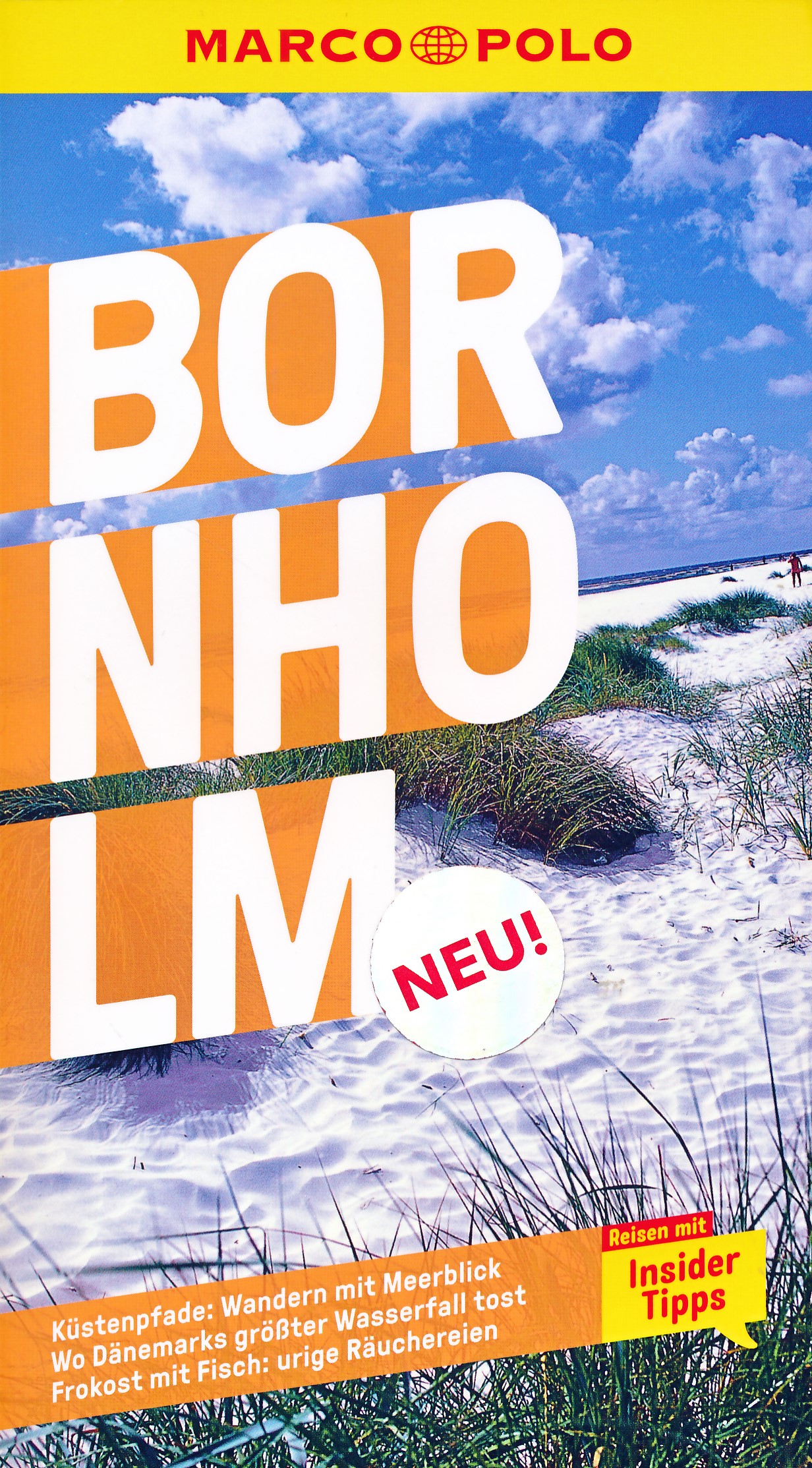
€ 9.95
Wegenkaart - landkaart Fleximap Sri Lanka | Insight Guides

Geplastificeerde kaart van Sri Lanka, met register. Voor de 'gewone' toerist een handige kaart, geen groot formaat, overzichtelijk met alle belangrijke plaatsen goed weergegeven.


Met stadsplattegrond van Colombo.


In addition to the mapping, Fleximap Sri Lanka also gives a list - with descriptions and some photographs - of 18 recommended sights, divided by theme and linked to the mapping by numbered markers. There is also a handy information section with concise details on getting around, tourist offices, money, tipping, opening times, public holidays, telecommunications, emergency telephone numbers and climate.

€ 11.50
Wegenkaart - landkaart Portugal | Turinta

Landkaart van heel Portugal, duidelijk leesbaar. Ondanks de wat grove schaal toch heel wat details, met afstandsaanduidingen, nationale parken en register.  Deze kaart is met name goed als het gaat om aanduiding van campings, sommige hotels en poussadas. Daarnaast staan op de achterzijde centrumkaarten van diverse steden. 

€ 49.90
Fotoboek - Reisverhaal Saigoku | Cees Nooteboom

De Saigoku-pelgrimstocht is de belangrijkste, langste en zwaarste van alle bedevaarten die je in Japan kunt doen. De tocht loopt langs niet minder dan 33 boeddhistische tempels die alle aan Kannon, de godin van barmhartigheid zijn gewijd. Sommige tempels bevinden zich in en om Kyoto, de voormalige hoofdstad van het Heian-rijk (794-1185). Andere liggen hoog in de bergen of op een eiland en zijn moeilijk bereikbaar.

Schrijver Cees Nooteboom en fotografe Simone Sassen hebben zich tweemaal gewaagd aan de pelgrimage naar het prachtige Saigoku. Het koppel reisde per bus, met de trein en te voet. Ze liepen kilometers ver en klommen soms well meer dan 800 trappen hoog. Simone Sassen fotografeerde de tempels in de verschillende seizoenen. Op die manier wist zij poëtische beelden van sneeuw, kersenbloesems en herfstbladeren vast te leggen. 

Sommige van de tempels die ze bezochten, dateren uit de Heian-tijd waardoor Nooteboom ze linkt aan de klassieke Japanse tekst Het Verhaal van Genji van Murasaki Shikibu. Dit verhaal werd geschreven rond het jaar 1000 en wordt beschouwd als de eerste echte roman in de literatuurgeschiedenis. 

De wisselwerking tussen beeld en tekst resulteert in een unieke publicatie. Japan wordt in dit boek op zijn mooist geportretteerd.

€ 11.95
Fietskaart ADFC Regionalkarte Cuxhaven - Bremerhaven | BVA BikeMedia

Gedetailleerde fietskaart van een klein gebied: Cuxhaven - Bremerhaven - Stade - Brake - Gnarrenburg.


Dit is de meest geschikte fietskaart wanneer u wat langer in één regio verblijft. De kaart is van de ADFC (Algemeine Deutsche Fahrrad Club). 

Echt alle relevante fietsinfo is op deze kaart terug te vinden.


Zeer goede heldere, betrouwbare kaart met ingetekend alle bewegwijzerde routes

* Zeer gedetailleerde kaart

* Vermelding van verkeersdrukte

* Vermelding van type wegdek

* Hellingen worden aangegeven middels 1 of 2 pijlen

* Hoogtelijnen aanwezig

* Relevante info als fietsenmakers, campings, horeca etc..aanwezig

* Geschikt voor verblijf in 1 bepaald gebied


ADFC recommended topographic cycling maps of popular regions of Germany giving details of routes, volume of traffic so you can choose the calmest route, details of gradients, camp sites, & tourist information. With these maps you can work out a route to suit all tastes, whether for family or for mountain bikers.

€ 15.95
Reisgids Skopje | Trimaks

Echte toeristische gids uit het land zelf, geschreven in het  Engels. Enigzins oubollig vormgegeven, maar behoorlijk wat betreft de inhoud. Het geeft een redelijk overzicht van wat je zoal kunt doen in de stad en omgeving. Met veel illustraties als kaarten en foto's. Het lijkt soms meer een reclame gids met veel advertenties, maar daardoor krijg je meteen veel adressen.

The city of Skopje, from the ancient past to the present, with over 700 photographs, illustrations and maps offering information what places to visit, where to stay, where to eat ... The guide contains a city map of all streets and important buildings, as well as an index for easier navigation across the maps. The guide contains all points of interest about Skopje and its beauties, churches and monasteries, mosques, monuments, museums, restaurants and cafes, cinemas, the Fortress Kale, the Millennium Cross and many other famous natural beauties that adorn Skopje. All this is enriched with beautiful photographs and detailed descriptions in Macedonian and English, and maps of the city.

€ 34.95
Wandkaart 20052 Afrika, politiek, 91 x 118 cm | National Geographic

Mooie wandkaart van Afrika, staatkundig, met rustig kleurgebruik en helder kaartbeeld, Ondanks het wat kleiner formaat staan er toch heel wat topografische details op vermeld. 


The map presents Africa at 1: 9.328.000 and coverage includes the whole of the Mediterranean Basin, extending north to London. Islands in the Atlantic and the Indian Ocean are included on a separate inset. The base map has relief shading to show the continent’s topography, with additional graphics indicating deserts, swamps, salt flats, etc. The map shows the names of the main geographic features such as mountain ranges, deserts, peaks etc. Heights are given in metres, except for Kilimanjaro, shown in both metres and feet. In the Congo basin many of the tributaries are named. 


Country boundaries are shown in contrasting colours. All place names are in English, except for selected cities such as Cairo, Tripoli or Algiers where the original names are shown first (El Quahira, etc) with the English equivalents in brackets. Where appropriate, administrative, legislative and judicial capital cities are indicated (e.g. Dar Es Salam/Dodoma, Johannesburg/Cape Town/Bloemfontein, etc). 

€ 23.95
Wandelgids The Cape Wrath Trail | Cicerone

Uitstekende wandelgids die in etappes de route nauwkeurig beschijft. 

A guidebook to the Cape Wrath Trail, a long-distance trek through the Scottish Highlands from Fort William to Cape Wrath. The Cape Wrath Trail is a 230-mile, three-week challenge through wild and magnificent landscapes, such as Morar, Knoydart, Torridon and Assynt. Crossing such empty country, it is for the experienced backpacker only.

Activities

Long-distance walking and backpacking


Seasons

April, May and June are ideal months to walk the trail. September and October are also good, but there may be diversions due to deer stalking and military operations at the cape. In July and August the days are superbly long and the weather can be fine, but midges will be in full flight. The limited accommodation along the trail may also be booked up at this time of year


Centres

Fort William, Glenfinnan, Barisdale, Kinloch Hourn, Shiel Bridge, Strathcarron, Kinlochewe, Dundonnell, Ullapool, Bridge of Orchy, Inchnadamph, Kylesku, Rhiconich, Kinlochbervie, Durness


Difficulty

The Cape Wrath Trail is regarded as the toughest long distance backpacking trail in Britain. It crosses remote, sparsely populated, potentially dangerous mountain country. There are no pack carrying services and often no clear paths. Limited re-supply points require self sufficiency for many days together. Not a route for beginners or those unfamiliar with remote, rugged mountain areas


Must See

Glenfinnan monument and viaduct, the gloriously remote rough bounds of Knoydart, Barisdale, Forcan ridge, Falls of Glomach, Beinn Eighe, Lochan Fada, Shenavall, An Teallach, Glen Douchary, Glen Oykel, Ben More, Glencoul, Arkle, Foinaven, Sandwood Bay, Cape Wrath lighthouse

€ 12.50
Wandelgids Salzburger Almenweg | Conrad Stein Verlag

Der Salzburger Almenweg ist 350 Kilometer lang und führt zum Ausgangspunkt zurück. Meist geht es über Pfade, die mit etwas Kondition und Trittsicherheit von jedem bewältigt werden können, Bergerfahrung ist nicht nötig. In diesem Buch wird jede der 31 Etappen detailliert beschrieben, so dass sich die Nutzer nicht verlaufen können. Unterwegs gibt es viele fantastische Aussichten auf Bergpanoramen und anderes: Schneereste, bunte Blumen, bizarre Latschenkiefern, Murmeltiere und vieles mehr. Während und nach den Touren kann an sich mit leckeren Gerichten stärken, viele Almen sind bewirtschaftet. Die Bergbauern sind durchweg freundlich, jedoch meist etwas zurückhaltend. Dies ist ein weiterer Grund, um in Almen zu übernachten: Man kommt mit den Besitzern ins Gespräch, erfährt viel über Tiere und die Jagd, Lawinen, die Kunst des Käsemachens, wie dort früher gelebt wurde und vieles mehr.

Mit etwas Glück darf man sogar Hausmusik lauschen – die wird nicht wegen der Touristen gemacht, sondern weil die Musiker Lust dazu haben, Akkordeon zu spielen. Außerdem stehen in diesem Buch viele Tipps unter anderem zu Varianten, Übernachtungs- und Einkaufsmöglichkeiten, Museen und einem Grundbedürfnis von Wanderern: Trinkwasser. Viele Menschen scheuen sich vor Streckenwanderungen, denn sie möchten kein schweres Gepäck schleppen. Doch vier Kilogramm Gepäck in einem kleinen Rucksack reichen für den Almenweg völlig aus. Und wem die 22.905 Höhenmeter am Stück zuviel sind: Einfach die 31 Etappen auf mehrere Aufenthalte verteilen.

€ 189.00
Prikbord 82PM Wereldkaart, politiek, 110 x 77 cm | National Geographic

Politieke wereldkaart van National Geographic. De klassieke blauwe vorm, met helder kaartbeeld. De landen hebben met kleuren duidelijke grenzen en er staan opvallend veel topografische details op. Ondanks de schaal een behoorlijk aantal plaatsnamen. Simpelweg een mooie kaart voor aan de muur op uw kantoor of studeerkamer op een bescheiden formaat (er zijn veel grotere in de handel!)

De wandkaarten op prikbord worden geleverd met een aluminium lijst en een eenvoudig te monteren ophangsysteem. Zij zijn geschikt voor allerhande markeringsystemen als vlaggetjes en prikkers.

We leveren bij dit prikbord 1 set (20 stuks) gratis markeervlaggetjes. 

€ 18.50
Wandelgids Rother Wandefuhrer Spanje Tenerife | Rother Bergverlag

Uitstekende wandelgids met een groot aantal dagtochten in dal en hooggebergte. Met praktische informatie en beperkt kaartmateriaal! Wandelingen in verschillende zwaarte weergegeven in rood/blauw/zwart.

Aanbevolen wandelkaarten bij deze gids:


Voor het hele eiland

Wandelkaart WKE7 Tenerife hiking map | Freytag & Berndt 1:50.000


of 


Wandelkaart 233 Teneriffa | Kompass 1:50.000


Voor Nationaal Park El Teide

Wandelkaart Tenerife - Teide - Anaga - Teno | Editorial Alpina 1:25.000


of


Wandelkaart 4 Parques Nacionales El Teide Red de Senderos -T enerife | CNIG - Instituto Geográfico Nacional 1:25.000


Tenerife can easily be described as the most versatile hiking paradise of the Canary Islands. The »Island of Bliss« not only offers the highest peak of the Canary archipelago and the whole of Spain – the Pico del Teide measuring 3718m – it also unites countless, completely different types of landscape: the extremely bare, almost desert-like south, holiday destination of sun aficionados, is in strict contrast to the picture landscape of the fertile north with its sumptuous nature. The mountain regions are covered in evergreen laurel and heathered forests as well as extensive woods of pine tree. A scenic highlight is bound to be the moon landscape of the Cañadas del Teide National Park.

As a result, Tenerife is not only a refuge for central Europeans who shy away from winter, but mainly an ideal island for hiking. With the wide ocean at all times in sight, the range of the 80 hiking tours presented in this guide includes easy paths over rough cliffs and picturesque trips to heights as well as ascents to peaks that offer a fabulous view – hiking paths through fairytale-like nebulous primeval forests are also included, such as the partially paved Caminos, which in the early days where the main connecting routes between villages. Many tour suggestions in this hiking guide are suitable for less experienced hikers. Skilled mountaineers who do not fear »tours of the drastic kind« and who are in for a touch of adventure and a bit of a kick will also find a rich offering: daring cliff tours, spectacular ravine excursions and extensive mountain trips whose highlight must be the parade summit of the National Park.

Atmospheric pictures and excellent hiking maps at an ideal scale of 1:50,000/1:75,000 and informative height profiles round off the picture and ignite curiosity for ever new tours into this bizarre and charming world of mountains. An overall successful guide brought up to date, which leaves nothing to desire!


Abonneer op