€ 15.95
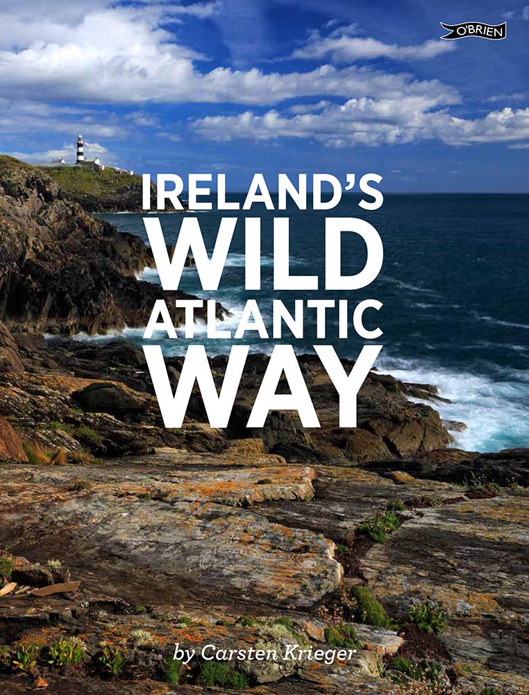
Fotoboek Ireland's Wild Atlantic Way | O'Brien Press

Take a photographic journey down Ireland's Atlantic coast from Donegal in the north to Cork in the south. This beautiful book showcases the west coast in all its wild beauty: dramatic views, abundant nature and wildlife, lighthouses, harbours and quaint seaside villages, as well as heritage, history and people.

The Wild Atlantic Way is a fully-signposted route along the west coast of Ireland that brings the visitor to some of Ireland's most spectacular scenery and liveliest towns: from surfing in Rossknowlagh to birdwatching at the magnificent cliffs of Moher, from the boats in Galway Bay to traditional music in Doolin, from dolphins in Kerry to castles in Cork there's something for everyone on the wild west coast.

Over 200 wonderful photographs.

Maps showing each section of the Wild Atlantic Way: Donegal-Mayo, Mayo-Clare, Clare-Kerry, Kerry to Cork.

'a sumptuous book in which the magnificent colour photographs speak for themselves' Books Ireland on Ireland's Coast

€ 10.95
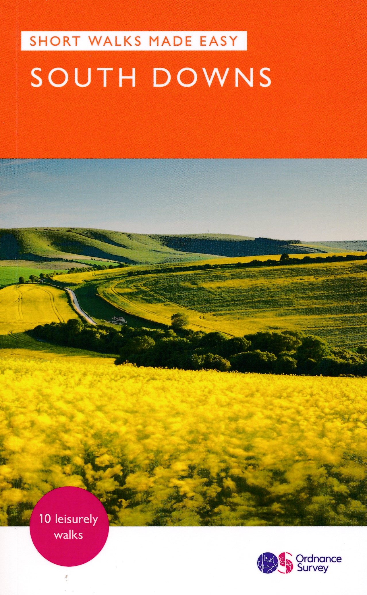
Wandelgids South Downs National Park | Ordnance Survey

Stroll up on the Downs, explore charming villages and wander woodland trails with ten hand-picked leisurely walks suitable for the whole family. Enjoy some of the loveliest and most accessible walks in the South Downs National Park and discover the benefits of being active outside.


South Downs Short Walks Made Easy include:


- Climb the Zig-Zag Path above charming Selborne, made famous by naturalist Gilbert White, for wonderful views

- Explore the historic village of Bramber, once an important river port and full of intrigue, and enjoy the beautiful ‘Walk For All’ along the banks of the Adur

- See the iconic Devil’s Dyke, offering great views in all directions from the hillfort above the longest and deepest dry valley in the country

- Wander the Seven Sisters Country Park, part of the spectacular Sussex coastline between Eastbourne and Seaford

- Follow the South Downs Way up Old Winchester Hill to find a hill-fort and barrows, as well as excellent views as far as the Solent and the Isle of Wight

- Discover the historic market town of Arundel with its castle and cathedral and stroll along the banks of Swanbourne Lake and the River Arun


OS Pathfinder Guides: Short Walks Made Easy:


- 10 accessible walks suitable for the whole family

- All routes are between 2 to 5 miles and can be completed all year round

- Know what to expect before you go: Information on locations of cafes/pubs and toilets, terrain, hilliness and accessibility for pushchairs and wheelchairs

- Large-scale Ordnance Survey maps for ultra-easy navigation and route-finding, featuring intuitive pictorial symbols

- Numbered points which tie maps to route descriptions and walk profiles

- Route photographs for each numbered point so you know exactly where you’re going

- Discover GPS waypoints, parking information and detailed route descriptions for foolproof navigation

- Enhance your adventure with stories behind each walk and nature notes

- Get active outside and enjoy the physical and mental health benefits

€ 21.50
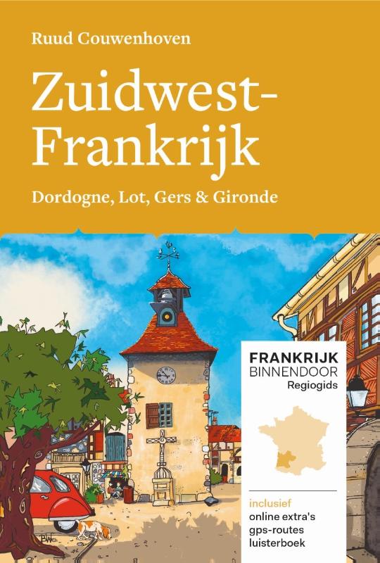
Reisgids Frankrijk binnendoor Zuidwest-Frankrijk | eRCeeMedia

Wat zijn de charmes van Zuidwest-Frankrijk? Het antwoord wordt in dit boek van Frankrijkkenner Ruud Couwenhoven gegeven. Opnieuw verrast hij zijn lezers met een unieke roadtrip die deze keer door het zuidwesten van Frankrijk gaat. Op een luchtige wijze beschrijft hij zijn ervaringen in de Dordogne, Lot, Gers en Gironde en ontdek je een reis vol verrassingen en inspiratie

IN DIT BOEK LEES JE OOK OVER - een relaxte route dwars door de Morvan naar het zuidwesten; - roadtrips om ter plekke nog meer te zien en te genieten; - bijzondere routes voor fietsers en e-bikers; - tips van locals om lekker te eten en wijn te proeven; - de gezelligste markten en wanneer ze plaatsvinden.

INCLUSIEF WEBSITE, GPS-ROUTES EN LUISTERBOEK Dit boek is inclusief website met extra tips, routekaarten en te downloaden gps-routes van de roadtrips en fietstochten. In een bijzonder luisterboek neemt Ruud je mee op reis en kom je helemaal in de sfeer van Zuidwest-Frankrijk. Ruud Couwenhoven is altijd op zoek naar verhalen voor zijn boeken, podcasts en de website frankrijkbinnendoor.nl. Zijn eerste boek, Frankrijk Binnendoor, ontdek het an- dere Frankrijk, is al jaren het bestverkochte reisboek over Frankrijk.

€ 18.50
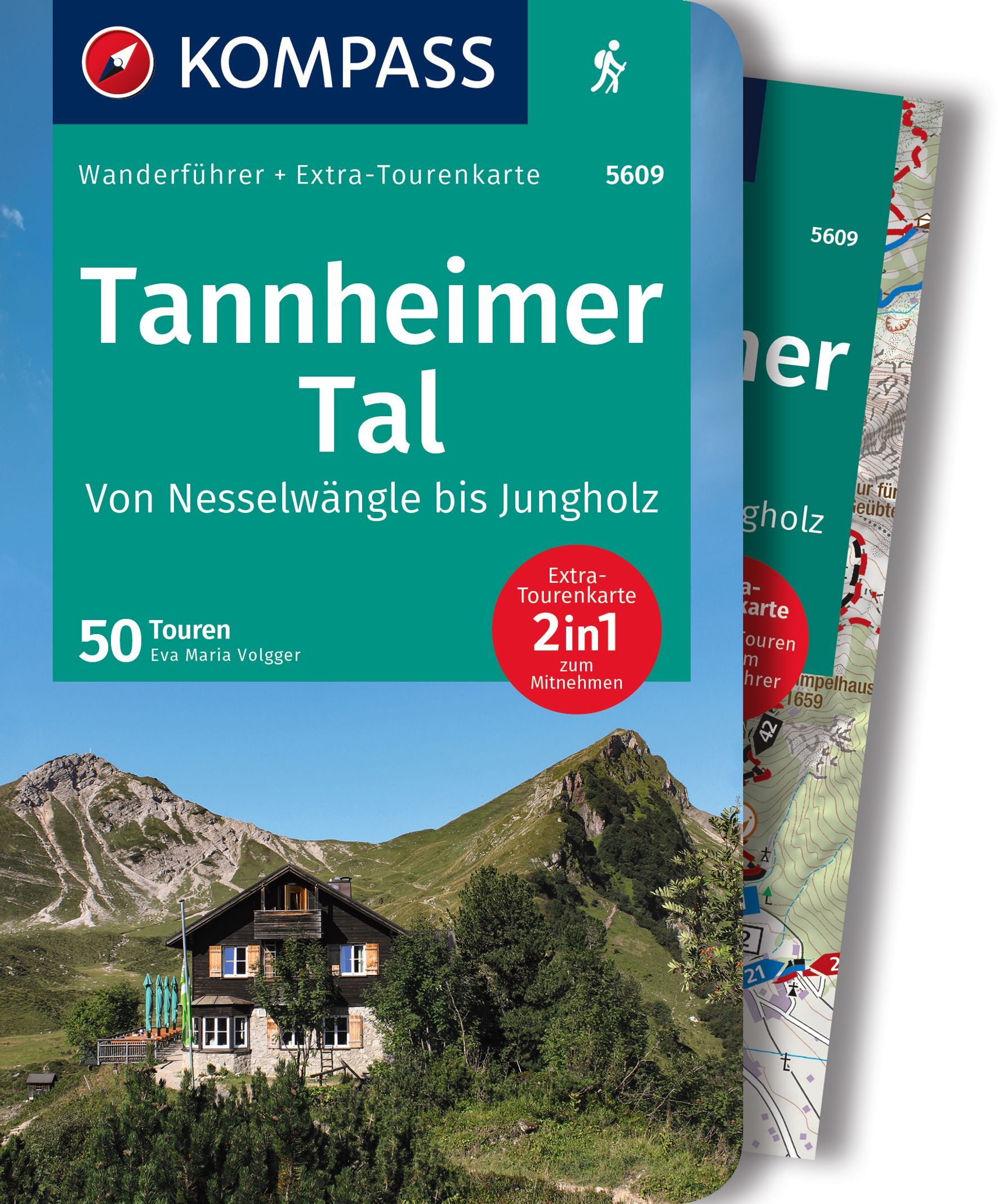
Wandelgids Wanderführer Tannheimer Tal | Kompass

Goede Duitstalige wandelgids met heldere beschrijvingen van de wandeltochten. Met hoogteprofiel, kaartje en de benodigde praktische informatie als bijvoorbeeld de startlocatie met GPS coordinaten. De wandelingen zijn ingedeeld in zwaarte en dan op verschillende kleuren weergegeven. Beschreven worden eenvoudige wandelingen tot pittige (berg)tochten, voor getrainde en ongetrainde wandelaars, een aantal wandelingen zijn geschikt om met kinderen te doen. Belangrijke toevoeging bij de Kompass wandelgidsen is een bijgevoegde losse wandelkaart van het betreffende gebied waarop de wandelingen uit de gids op de kaart heel duidelijk zijn ingetekend. 

von Nesselwängle bis Jungholz, mit 1 Karte

Die Vorteile des Wanderführers auf einen Blick:

- Von KOMPASS-Experten erwanderte Touren

- Jede Tour mit Höhenprofil und Kartenausschnitt

- Ausflugs- und Übernachtungstipps

- Kostenloser Download der GPX-Daten

Die Vorteile der Extra-Tourenkarte auf einen Blick:

- Unterstützt die Tourenauswahl

- Kartografische Gesamtübersicht

- Touren können einfach kombiniert werden

- Ein Leichtgewicht zum Mitnehmen

- Auch als Straßen- und Urlaubskarte verwendbar

Destination:

Ein etwa in 1100 Metern Höhe gelegenes Hochtal in den Tannheimer Bergen, im Grenzgebiet zu Deutschland mit den Hauptorten Tannheim, Nesselwängle, Grän, Zöblen und Schattwald. Inklusive der Tiroler Enklave Jungholz, welche nur von Deutschland aus erreichbar ist. Eingerahmt ist „das schönste Hochtal Europas“ durch auffallende Berge: Im Nordosten durch die Klettergipfel des Schartschrofens, der Roten Flüh, des Gimpels und der Köllenspitze, im Nordwesten durch markante Einzelgänger wie dem Einstein oder den Aggenstein und im Süden reihen sich die Vilsalpseeberge aneinander: Gaishorn, Rauhhorn, Kugelhorn oder der Ponten, der Bschießer, die Krinnenspitze. Nicht zu vergessen: das Tourengebiet der Landsberger Hütte mit der Lachenspitze, der Schochenspitze oder der Roten Spitze und dem Hüttenübergang zum Prinz-Luitpold-Haus und dem Hochvogel. Auch die Seenlandschaft ist bezaubernd, mitten im Tal liegt der Haldensee. Der Vilsalpsee (1165 m) hingegen liegt im Naturschutzgebiet, weitere Gewässer sind der Traualpsee (1630 m) oder die Lache (1770).

Kurzinfo zum Produkt:

- Das sportliche Highlight: Die Klettertour auf den Hausberg der Tannheimer, die Köllenspitze. Der Hüttenübergang von der Landsberger Hütte zum Prinz-Luitpold-Haus. Oder die Besteigung des Sorgschrofens in Jungholz.

- Das Familien-Highlight: Neunerköpfle – Rundwanderweg mit vielen spannenden Stationen, wie dem größten Gipfelbuch der Alpen, oder einem über 3 m hohen Herz aus Holz für das perfekte Erinnerungsbild. Der Haldensee und der Vilsalpsee dienen an heißen Sommertagen zur Abkühlung. Spannung und Abenteuer sind dagegen im Kletterwald Tannheimer Tal garantiert.

- Das Genuss-Highlight: Unübertrefflich ist das Tiroler Gröstl auf der Landsberger Hütte. Ausgezeichnet schmeckt auch der Almsalat auf der Schneetalalpe.

- Das persönliche Highlight: Bergtour auf den Hochvogel (2593 m), der alles überragenden Felspyramide des Tannheimer Panoramas. Die Verbindung von Wander- und Klettersstellen, gepaart mit einem leichten Klettersteig ergeben eine unschlagbare

Kombination.

- Das Kultur-Highlight: Das Naturschutzgebiet Vilsalpsee: 18,2 km², Seehöhe: 1160 – 2274 m, unter Schutz seit 1957, mit einer einzigartigen Flora und Fauna. Heimat besonderer Orchideengattungen und seltener Vogelarten, hier entspringt die Vils, gleich dahinter liegt der Bärgacht-Wasserfall.

€ 7.95
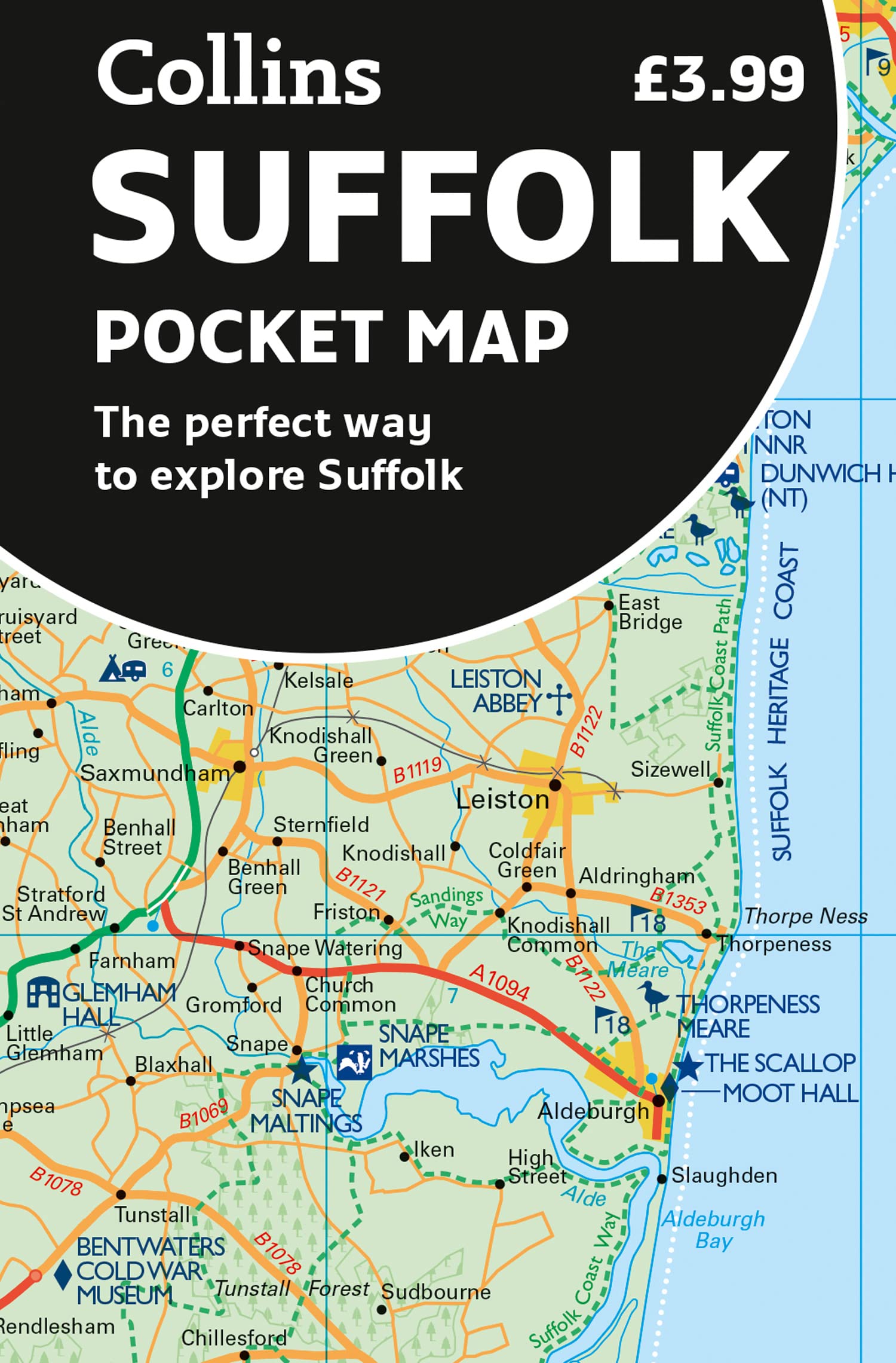
Wegenkaart - landkaart Pocket Map Suffolk | Collins

Explore new places with handy pocket maps from Collins. Handy little full-colour map of county of Suffolk. Detailed mapping, photographs, and tourist information.


Famed for its archaeological finds, swathes of rural farmland and open skies, Suffolk has a distinct identity. Discover this unique area with this handy pocket map. Main features of this map include: Clear mapping at a scale of 2.3 miles to 1 inch / 1.5 km to 1 cmMain tourist attractions located and describedSights, places to stay, cafe/restaurant, golf courses, and things to do all highlighted on the mapEssential travel informationIndex to places of interest and place names Essential for those planning a trip around Suffolk.

€ 9.95
Wandelgids Brighton Hidden Walks | A-Z Map Company

Discover hidden gems around Brighton with 20 walking routes.

Featuring 20 walks in and around the city, including lesser-known circuits and details on popular walks. Accompanied by guided walking instructions and written by a local expert, A-Z Brighton Hidden Walks is the perfect way to explore the city in a new light.

Small enough to fit in a bag or pocket, this handy guidebook is ideal for tourists or locals looking to discover more about the city. Each route varies in length from 1 to 6 miles (1.6 to 9.6 km), and is clearly outlined on detailed A-Z street mapping.

* 20 walking routes with instructions and maps

* Full-colour photographs of hidden gems and city attractions

* Key sights and locations clearly marked on map

* Information such as start/finish points, nearest postcodes, distance and terrain 
 

€ 14.95
Reisgids Marco Polo NL Piemonte en Turijn | 62Damrak

Het is een handige en overzichtelijke, kleine reisgids voor een  goede kennismaking met de vakantiebestemming. Globale uitklapkaart achterin, makkelijk binnenzakformaat. Toch best veel aandacht voor de toeristische hoogtepunten en leuke tips van en door de schrijvers die er vaker geweest zijn. 

Marco Polo reisgids voor de Italiaanse regio Piemonte met Turijn.. Handig pocketformaat, boordevol informatie, met uitneembare kaart achter in het boek en atlas-pagina’s. Met Insider Tips om de échte stad/streek te ontdekken en de TOP 15 van bezienswaardigheden in één oogopslag. Veel up-to-date informatie in overzichtelijke hoofdstukken: sightseeing, eten & drinken, winkelen, uitgaan, verblijf, routes & tochten, voor kinderen, feesten, festivals & evenementen, internet tips, praktische info van a tot z, een taalgidsje, plattegronden en straatnamenregister.

€ 25.00
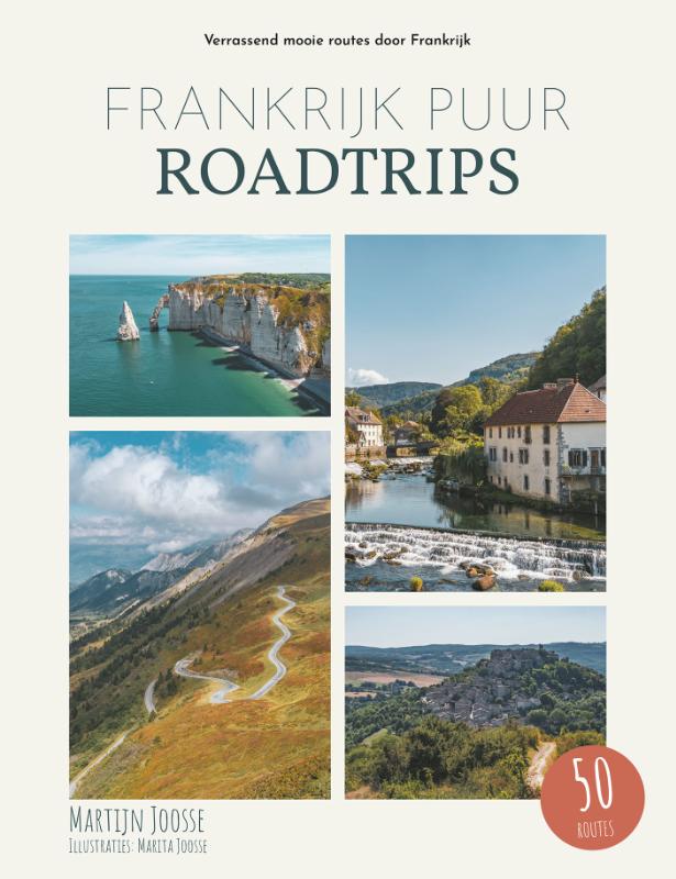
Reisgids Frankrijk puur roadtrips | Joosse Media

Maak kennis met de vele gezichten van Frankrijk. Van de ruige rotsen aan de kust van Bretagne tot de witte bergtoppen van de Alpen, van de uitgestrekte wijngaarden in de Elzas tot de grillige rivierkloven in het Centraal Massief, van de lange zandstranden in Les Landes tot de lavendelvelden in de Provence.


Onderweg passeer je de mooiste dorpen en steden, oeroude kastelen, kathedralen, kloosters en andere opmerkelijke sporen van de rijke geschiedenis. In Frankrijk Puur Roadtrips vind je vijftig indrukwekkende routes, voorzien van tips voor campings, restaurants en bezienswaardigheden. De routes variëren in lengte van een tot zes dagen en kunnen gemakkelijk uitgebreid worden.


Dit boek is een bron van inspiratie voor betoverende roadtrips met de auto, motor of camper. 


Met Frankrijk Puur Roadtrips heb je jarenlange inspiratie voor reizen en vakanties naar Frankrijk. We geven tips voor dingen om te doen tijdens je roadtrip en een dagprogramma, maar natuurlijk kun je ook kiezen om nog een of meerdere dagen eraan vast te plakken. Gebaseerd op onze eigen ervaringen in Frankrijk. 


- Overzichtelijke vormgeving 

- Thematische indeling van routes

- Downloadbare GPX-bestanden van de afzonderlijke routes

- Stijlvolle hardcover uitgave, gedrukt op duurzaam papier met FSC-keurmerk

- 288 pagina’s boordevol Frankrijkinspiratie


Voor deze derde druk werd het boek volledig nagelopen, aangevuld en de layout bijgewerkt. 

- Nu met extra tips en informatie

- Ontdek gemakkelijker waar alle foto's in het boek zijn gemaakt

- Speciale editie met verbeterde layout

€ 7.95
Stadsplattegrond Pocket Map London Pocket Map | HarperCollins

Handy little full colour map of central London with a high level of detail. Clear mapping from Regent's Park in the north to Kennington in the south, and Kensington Gardens in the west to Tower Bridge in the east at a scale of 1:12,500 (5 inches to 1 mile). Maps of West End shopping and theatres are also included.


Mapping is presented in a handy format ideal for the pocket or handbag. It is excellent value and covers the most visited area of central London. It is an essential buy for tourists and residents alike.


INCLUDES Detailed central area mapMap of theatres and cinemasShopping mapUnderground mapThe latest congestion zone boundary

Abonneer op