Na 'Reizen Waes Vlaanderen' blijft avonturier Tom Waes nog even dicht bij huis en trekt door het meest exotische land van Europa: Nederland. Hij doorkruist ons buurland in zijn eigen unieke stijl. Op zoek naar mooie plekken, intrigerende figuren en straffe verhalen.0En die vind je dus verrassend dicht bij huis. Want naast klompen, kaas, windmolens en tulpen valt in Nederland best nog wat te ontdekken. Van baanbrekende onderzoeken en nutteloze uitvindingen over illegale kaas en Molukse papeda tot een fietsfanfare en een echte BN-safari. Tom reist door Nederland met de auto, botsauto, powerboat, skûtsje, parachute en... te voet. Een onvergetelijke reis op Nederlandse bodem. Door de ogen van Tom Waes.
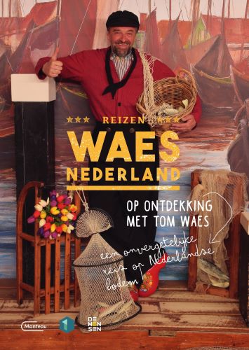
€ 23.50