€ 6.95
Stadsplattegrond Bristol | Quickmap

Get to know Bristol like a local with area flavours. See all the attractions inside and surrounding the city including Bath and find easy ways to get to them without a car. Instantly understand the city on the zippy folding maps inside the discreet pocket-sized cover. This guide is for visitors who are wanting to experience this dynamic city.


€ 24.50
Campergids Mit dem Wohnmobil nach Österreich | WOMO verlag

TOURENKARTENReisen Sie auf über 3000 Kilometern in 13 Touren zu allen großen Attraktionen und weniger bekannten Orten im Westteil Österreichs. Sie erhalten genaue Markierungen freier Stell-, Bade-, Picknick-, Wander-und Campingplätze inkl. Ausstattung. Einzeichnungen von Museen, Burgen, Kirchen uvm. NATUR ERLEBEN, WANDERNErleben Sie herrliche Seen in Kärnten und im Salzkammergut, wandern Sie in den sich hoch auftürmenden Gebirgen Tirols und Salzburgs, entdecken Sie Alpenpässe und dutzende Täler zwischen Vorarlberg und der Steiermark, die oftmals ihren ganz eigenen Charakter besitzen. KULTURSCHÄTZE, STÄDTEFlanieren Sie durch adrette kleine Orte mit viel Geschichte, wie Hall in Tirol oder Rattenberg, lernen Sie lebendige Städte wie Feldkirch, Bregenz und Gmunden kennen und gehen Sie in den Alpenmetropolen Innsbruck und Salzburg auf ausgiebige Entdeckungsreise. WASSER ERLEBEN, BADENNehmen Sie ein Bad im Bodensee, tauchen Sie im Wolfgang-, Atter- und Traunsee ab oder gönnen Sie sich ein Sonnenbad am Wörter- oder Millstätter See. Toll gestaltete Themen und beheizte Freibäder bieten wetterunabhängigen Badespaß, in wilden Klammen erleben Sie die Kraft der Flüsse. WOMO-SERVICEWir vermerken weit über 300 Plätze zum Übernachten mit Anfahrtsbeschreibung und präzisen GPS - Koordinaten. Wo vorhanden führen wir die jeweiligen Ausstattungen auf, wie Ver-/Entsorgung/WC etc. Wir geben Hinweise zu Parkplätzen in Städten und Infos zu Sehenswürdigkeiten, Wanderungen uvm.


€ 7.95
Stadsplattegrond Pocket Street Map Portsmouth | A-Z Map Company

Navigate your way around Portsmouth with detailed street maps from A-Z

This up-to-date detailed, folded A-Z street map includes more than 2000 streets in and around Portsmouth. As well as ferry routes from Portsmouth Harbour, other areas covered include Southsea, Fratton, Milton Common, Hilsea and Cosham.


The large-scale street map includes the following:

• Places of interest

• Postcode districts, one-way streets and car parks

• Index to streets, places of interest, place and area names, park and ride sites, national rail stations, hospitals and hospices


The perfect reference map for finding your way around Portsmouth

€ 7.95
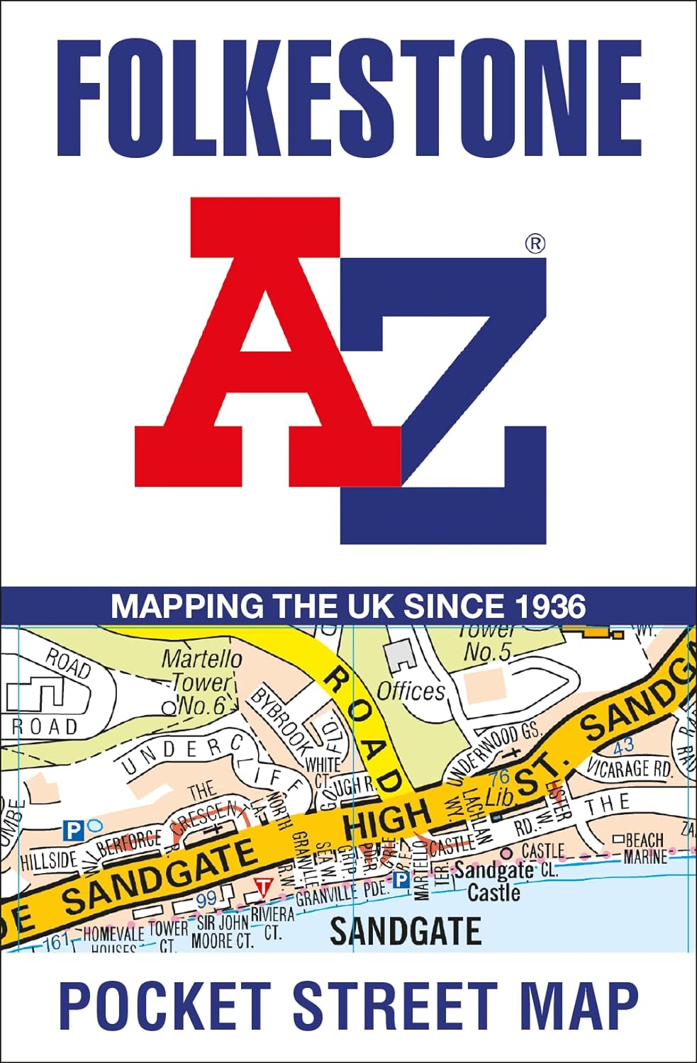
Stadsplattegrond Pocket Street Map Folkestone | A-Z Map Company

Navigate your way around Folkestone with detailed street maps from A-Z

This up-to-date, folded A-Z street map includes all of the 1,500 streets in and around Folkestone. Detailed coverage of an area extending from Hawkinge to Sandgate in the south, and from East Wear Bay in the east to Newington in the west.


Postcode districts, one-way streets and car parks

Places of interest

On the reverse side there is a handy index to streets, places of interest, place and area names, park and ride sites, national rail stations, hospitals and hospices

With clear mapping on a scale of 5.5 inches to 1 mile, this is the perfect reference map for finding your way around Folkestone.

€ 7.95
Stadsplattegrond Pocket Street Map Dover | A-Z Map Company

Navigate your way around Dover with detailed street maps from A-Z

This up-to-date, folded A-Z street map includes all of the 1,500 streets in and around Dover as well as:


Postcode districts, one-way streets and car parks

Places of interest

On the reverse side there is a handy index to streets, places of interest, place and area names, park and ride sites, national rail stations, hospitals and hospices

Detailed coverage of an area extending from Napchester in the north to the harbour in the south, and from beyond Jubilee Way to the east and Kearsney in the west.


With its clear mapping at a scale of 5.5 inches to 1 mile, this is the perfect reference map for finding your way around Dover.

€ 7.95
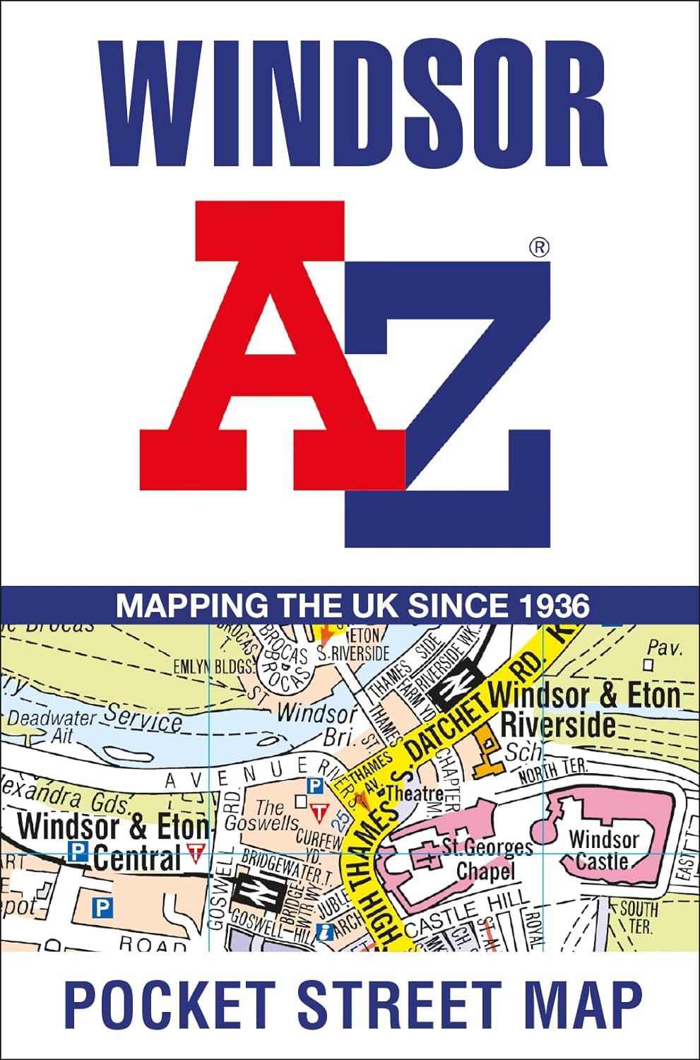
Stadsplattegrond Pocket Street Map Windsor | A-Z Map Company

Navigate your way around Windsor with detailed street maps from A-Z

This up-to-date, folded A-Z street map includes all of the 1,500 streets in and around Windsor.


Postcode districts, one-way streets and car parks

Places of interest

On the reverse there is a handy index to streets, places of interest, place and area names, park and ride sites, national rail stations, hospitals and hospices

Detailed coverage of an area extending from Chalvey and the M4 motorway in the north to Old Windsor in the south, and from Sunnymeads in the east to Oakley Green in the west.


The perfect reference map for finding your way around Windsor.

€ 7.95
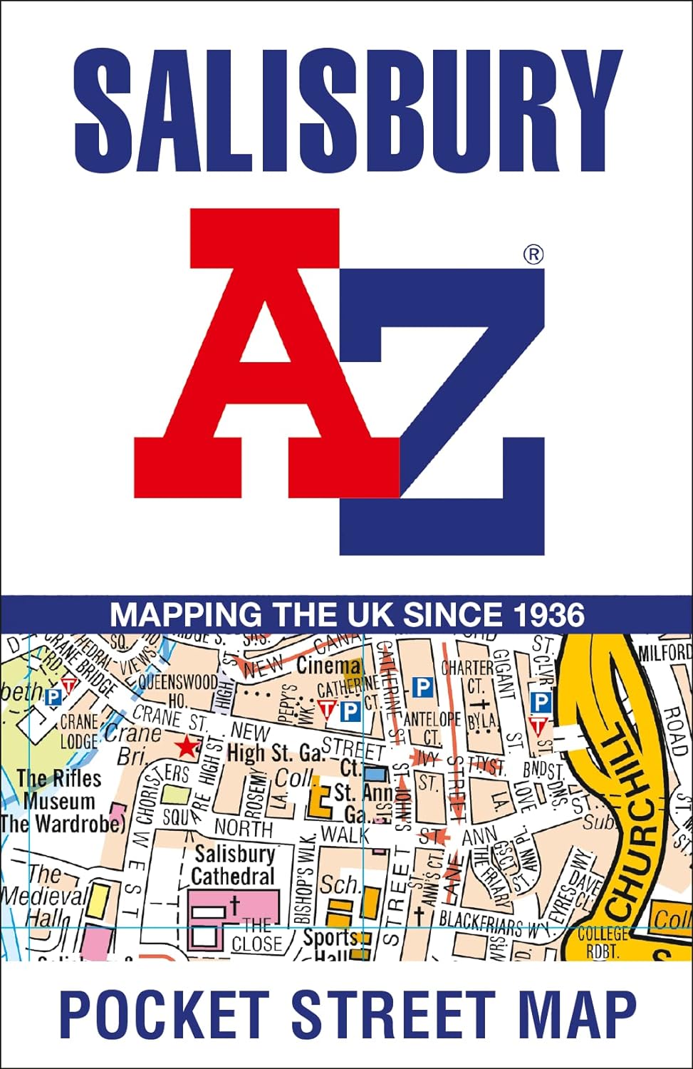
Stadsplattegrond Pocket Street Map Salisbury | A-Z Map Company

Navigate your way around Salisbury with detailed street maps from A-Z

This up-to-date, folded A-Z street map includes all of the 1,500 streets in and around Salisbury as well as:


Postcode districts, one-way streets and car parks

Places of interest

On the reverse side there is a handy index to streets, places of interest, place and area names, park and ride sites, national rail stations, hospitals and hospices

Detailed coverage of an area extending from Stratford sub Castle in the north to Salisbury District Hospital in the south, and from Laverstock in the east to Wilton Park in the west.

€ 7.95
Stadsplattegrond Pocket Street Map Torquay | A-Z Map Company

Navigate your way around Torquay with detailed street maps from A-Z

This up-to-date, folded A-Z street map includes all of the 1,000 streets in and around Torquay.

As well as Babbacombe and Oddicombe Beach, the other areas covered include Paignton, Preston, Hollicombe, Hele, Shiphay, Watcombe, Barton and Daccombe.


The large-scale street map includes the following:

• Places of interest

• Postcode districts, one-way streets and car parks

• Index to streets, places of interest, place and area names, park and ride sites, national rail stations, hospitals and hospices


The perfect reference map for finding your way around Torquay.

Abonneer op