€ 13.95
Wegenkaart - landkaart New Brunswick (Canada) | ITMB

Een degelijke kaart met aanduidingen van o.a. nationale parken, vliegveld, benzinepomp, dirt-roads en kleine plattegrond van hoofdstad. Als overzichtskaart goed te gebruiken.

The Canadian province of New Brunswick, called Acadia by its original French settlers, is perhaps best known for being the source of the famous epic poem Evangeline. It is also the home of the Cajun people. The British, unfairly regarding the Acadians (Cajuns), expelled thousands of them to French-controlled Louisiana in the mid-1750s. Some Acadians made the long trek back to the land they considered ‘home’, while many others re-built their lives in New Orleans. Today, the province is an industrious mix of French and English Canadians, sharing a land steeped in history. NB, for short, is the link between Central Canada and the Maritime Provinces. Historic Fredericton, Saint John, and St. Stephen retain many of the buildings built by loyalists fleeing the terror of the colonial revolution in what was to become the USA. The Bay of Fundy tidal bore and the amazing ‘magnetic’ hill that ‘tows’ cars uphill (go see for yourself) are two of the attractions of this interesting part of Canada. This map also completes our ITM mapping of each of the ten provinces and three territories of Canada. This map is double-sided.

Legend Includes:

Roads by classification, airfield, points of interests, national park, lakes, museum, fishing, picnic areas, camping, ski area, golf courses, gas stations, tourist information, and more.

€ 14.95
Reisgids Pocket Venice - Venetië | Lonely Planet

Een kleine uitvoering van de klassieke Lonely Planet gids: een reisgids met vooral de niet te missen hoogepunten en bezienswaardigheden, maar ook weer doorspekt met meer bijzondere tips en praktische informatie over openbaar vervoer, eten en drinken en accommodaties. Handzame uitvoering met uitklapkaart.

Lonely Planet's local travel experts reveal all you need to know to plan the ultimate short trip to Venice - and discover twice the city in half the time!


Discover Venice's most popular experiences, must-see attractions, and unexpected surprises - neighbourhood by neighbourhood - with our handy-sized Pocket travel guide. From admiring the architectural ensemble of Piazza San Marco, to shopping for vintage treasures at Mercato dell'Antiquariato, and seeking out Bellini's beautiful artworks at San Zaccaria and San Francesco della Vigna churches.


Build a trip to remember with Lonely Planet's Pocket Venice travel guide:


Our Pocket guidebook format provides you with the best insider knowledge and local know-how for planning trips between 1 - 7 days 

Find what you're looking for fast with this guide's all-new structure and design and navigate Venice with ease 

Get fresh takes on must-visit sights including Basilica di San Marco, Peggy Guggenheim Collection, and The Rialto

Exciting Three Perfect Days itineraries help you to create your ideal trip with suggestions of unmissable attractions and activities to match your passions 

Find the local vibe on foot! Walking tours in every chapter introduce each neighbourhood's personality and get you to those 'don't miss' sights 

Discover 'A Few Surprises' in a new feature that showcases Venice's best kept secrets and rising trends 

Navigate public transport confidently with clear instructions and tips in our 'Getting Around' section

Make quick travel decisions using 'Trip Planning' pages that include top pick lists and tips about what to book in advance 

Eat, drink, and shop like a local with extensive listings of the top restaurants, bars, markets, and street vendors

Essential information toolkit containing tips on arriving; transport; making the most of your time and money; LGBTIQ+ travel advice; useful words and phrases; accessibility; and responsible travel

Inspiring full-colour travel photography and maps including a pull out map of Venice

Covers: San Marco & Palazzo Ducale; Dorsoduro & the Accademia; San Polo & Santa Croce; Cannaregio & the Ghetto; Castello; Giudecca, Lido & the Southern Islands; Murano, Burano & the Northern Islands


Get straight to the heart of this extraordinary city - neighbourhood by neighbourhood - and hit the ground running with Lonely Planet's Pocket Venice.


€ 13.95
Wegenkaart - landkaart Pyrenäen - Pyreneeën | Reise Know-How Verlag

Tweetalige kaart (Engels en Duits). Door ingetekende lengte- en breedtegraden is het gebruik van GPS mogelijk. Met hoogtelijnen en uitgebreid wegennetwerk: daarnaast worden ook de afstanden tussen belangrijke plaatsen duidelijk leesbaar weergegeven. Het kleurgebruik is zodanig dat je een goede indruk krijgt van hoogteverschillen en soorten landschap. Natuurlijk staan de toeristische bezienswaardigheden duidelijk vermeld.


Gedrukt op water- en scheurvast papier! Polyart is een synthetisch product vrij van giftige stoffen dus duurzaam. Het papier gaat echt lang mee.


Topography is indicated by altitude colouring with numerous spot heights and names of mountain ranges and passes. Salt lakes, swamps, seasonal rivers and glacier are also shown. Detailed presentation of the road network includes minor roads and tracks and railways are also shown.


Internal administrative units are presented with their boundaries and names. National parks and other protected areas are highlighted. A wide range of symbols mark various places of interest. Map legends include English and all the maps have an index of localities.

€ 13.95
Stadsplattegrond Dresden | Freytag & Berndt

Stadsplattegrond met register. Helder kaartbeeld waarbij de naamgeving goed leesbaar is weergegeven. Met de toeristische bezienswaardigheden in symbolen weergeven: monumenten, musea, stadions e.a. Daarnaast handige zaken als postkantoren, parkeergarages en stations. Veelal ook met een openbaar vervoer of metro kaart als inzet.

Points of interest such as museums of the Dresden State Art Collections, the the Saxon State Opera, theatres and parks are marked, as are local facilities. The enlargement of the Old Town shares the same mapping but with more clarity, and is indexed along with the main map on the reverse. A map of the city’s environs shows the major road network leading into Dresden.

€ 27.99
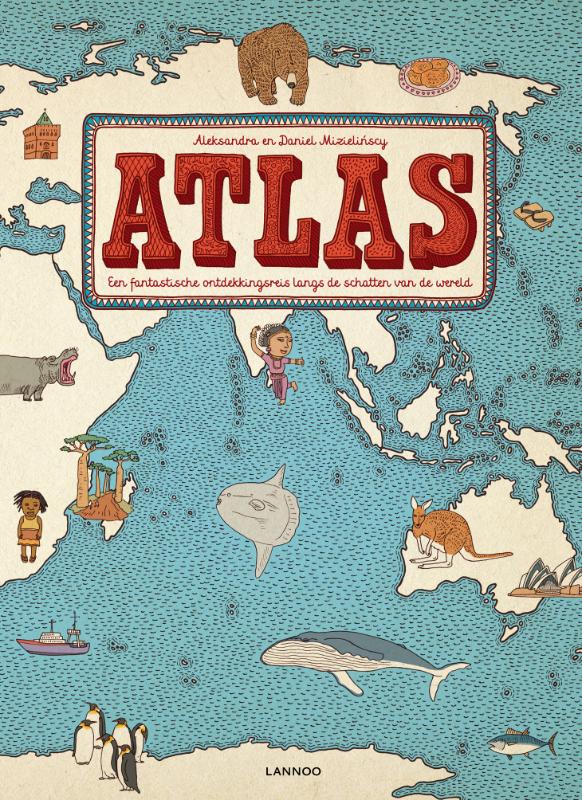
Kinderatlas Atlas | Lannoo

Groot, kleurrijk, verrassend: deze adembenemende atlas Boordevol boeiende weetjes over fauna, flora, cultuur, bevolking, enz. Wat zijn de populairste voornamen in China?


'Of je nu zes of zesenzestig bent, in dit snuisterboek ontdek je steeds weer nieuwe dingen. En het is niet enkel dat. "Atlas" is gewoon ook heel erg mooi om in te

bladeren. De kleuren, de illustraties, de papierkeuze, de belettering... dit boek is helemaal af.'

- Sofie Dewulf, Stichting Lezen


Welke vissen vind je in de Indische Oceaan?

Wat zijn de nationale sporten van Canada?

Waar eten ze kötbullar?

In welk land ligt de historische stad Petra?

Waar doen ze aan zandboarding?


Met meer dan 50 kaarten en honderden illustraties. Inclusief overzichtspagina met alle landenvlaggen. Een internationaal succes 


Aleksandra en Daniel Mizielinscy schreven en illustreerden al verschillende

kinderboeken. Ze hebben samen een designstudio. Hun werk werd meermaals 

bekroond, o.a. met de Bologna Ragazzi Award.

€ 11.95
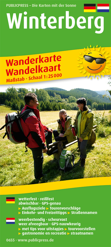
Wandelkaart 655 Winterberg en omgeving - Sauerland | Publicpress

Gedetailleerde wandelkaart van de directe omgeving van Winterberg, gedrukt op geplastificeerd materiaal. Het gebied bestrijkt Winterberg met maximaal 10 km. er om heen. Voor korte wandelingen zeer geschikt. Met Nederlandstalige legenda en extra informatie

Winterberg im Sauerland ist ein beliebtes Ausflugsziel nicht nur für das Ruhrgebiet, sondern auch grenzübergreifend für unsere niederländischen Nachbarn. Aus diesem Grunde ist die Karte zweisprachig angelegt. Rund um die Winterberger Schanze, die Ruhrquelle, Altastenberg, Kahler Asten und Züschen eröffnet sich ein wahres Wanderparadies mit zahlreichen Qualitätswegen wie dem Rothaarsteig©, Sauerland Höhenflug und Uplandsteig. Immer neue herrliche Aus- und Fernsichten sorgen für eine wahre Flut an neuen Eindrücken und Erholung vom Alltag.

€ 375.00
Wandkaart - Prikbord Europa - Europe HUGE 170 x 124 cm | Maps International

Fraaie politieke kaart van het continent, waarbij vooral de politieke aspecten heel duidelijk te lezen zijn. Alle landen hebben verschillende kleuren, steden en belangrijke verbindingen zijn goed te vinden. 


De wandkaarten op prikbord worden geleverd met een aluminium lijst en een eenvoudig te monteren ophangsysteem. Zij zijn geschikt voor allerhande markeringsystemen als vlaggetjes en prikkers.


Maps International's huge European political wall map is great looking map available to buy.


This politically coloured wall map of Europe features countries marked in a different colour, with international boundaries shown. All major towns and cities are featured within our large map of Europe. Map contains hill and sea shading adding to the vibrant overall effect. The wall map also contains a section showing the different flags of countries in Europe.


Maps International's Europe map is available either plain or laminated. If you are looking to buy a map of Europe, you won't be disappointed with this large stunning wall map.

€ 16.95
Wandelkaart 49 Garrotxa, zona volcanica | Editorial Alpina

Zeer gedetailleerde wandelkaart van een klein gebied. Met ingetekende wandelroutes en andere informatie. Spaanstalig, maar uitstekende kaart. Coordinaten zijn weergegeven, dus GPS compatible met UTM grid. 


Op de topografische wandelkaart worden o.a. berghutten, campings aangeduid en hoogtelijnen, ingetekende wandelroutes en de GR paden (doorgaande langeafstandswandelpaden). De kaart is inclusief een Spaanstalig boekje met extra informatie over aanwezige voorzieningen en enkele routes.


Gebied: Olot, Besalú, Mieres, Santa Pau, Sant Esteve d'en Bas, la Canya, Riudaura, Joanetes, els Hostalets d'en Bas, Sant Feliu de Pallerols, Tortellà, Sant Joan les Fonts, Argelaguer, Castellfollit de la Roca, Montagut, Volcà del Croscat, Sant Julià del Mont, Puig Sallanca, Volcà de Santa Margarida.


Book Language: Catalan, Spanish, English

•Hiking map and guidebook

•Scale 1:25.000

•Equidistance contours: 10 m distance

•Master contours: at 50 m

•Shady relief

•Compatible with GPS

•Marked routes

•Land use symbolized at three levels

•Guidebook with hikes, potholing, gully descent, climbing, mountain biking and all the facts of  interest

€ 18.50
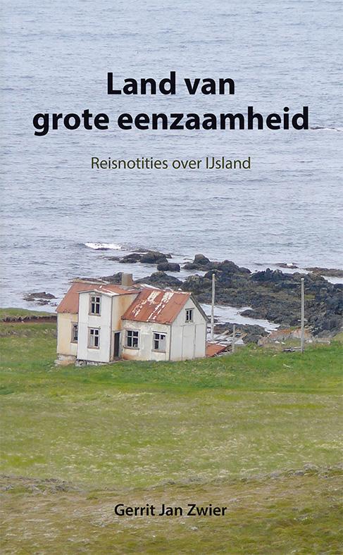
Reisverhaal Land van grote eenzaamheid - Reisnotities over Ijsland | Gerrit Jan Zwier

IJsland is een land dat altijd tot de verbeelding heeft gesproken, zeker tot die van Nederlanders. In vroeger dagen berichtten alleen vissers en walvisvaarders, die bij slecht weer een goed heenkomen hadden gezocht in baai of fjord, over dit noordelijke eiland. Later waren het vooral natuurvorsers en sagaliefhebbers die het land verkenden. In onze tijd ontdekken steeds meer toeristen dat safari's niet alleen in Afrika maar ook op IJsland georganiseerd worden.

Een groot deel van IJsland is ongetemd en onherbergzaam. Ook aan de bewoonde kust kan de wereld er op een regendag grauw en verlaten uitzien. Maar wie last heeft van 'het noordelijk gevoel', zal altijd weer naar de barre kusten van het hoge noorden trekken, al was het maar om eens alleen te kunnen zijn in een woest en leeg heelal.

Op een levendige en persoonlijke wijze brengt Gerrit Jan Zwier in dit boek verslag uit van zijn reiservaringen.


'Zwier kijkt rond met de goeie ogen. Alleen daarom al mag geen enkele Scandinavië-freak of IJslandganger dit boek missen.' - Vrij Nederland


Over Het noordelijk gevoel:


'Het noordelijk gevoel is een onstilbaar verlangen om het onbestemde te bereiken, een tekort dat iedereen wel voelt, maar alleen door de romantici onder ons belangrijk genoeg geacht wordt om er een boek aan te wijden.' - De Morgen

€ 53.50
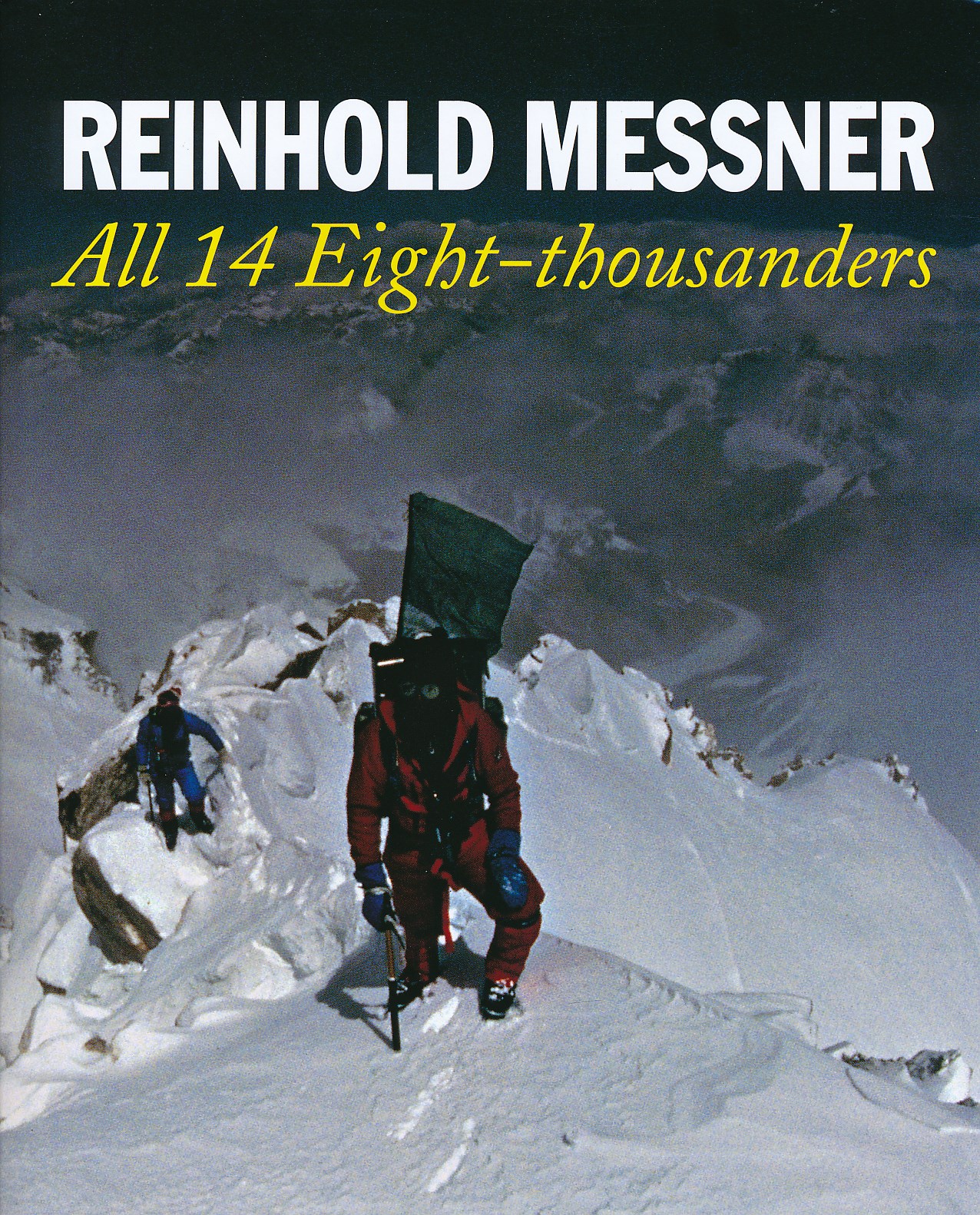
Fotoboek All 14 Eight-thousanders | Crowood

8000er Fotoboek met veel achtergrond tekst van Reinhold Messner over alle 14 achtduizenders: Everest, K2, Kangchenjunga, Lhotse, Makalu, Cho Oyu, Dhaulagri, Manaslu, Nanga Parbat, Annapurna, Gasherbrum I/Hidden Peak, Broad Peak, Gasherbrum II, Shisha Pangma.

This is a peak by peak account of perhaps the greatest achievement of mountaineer Reinhold Messner - the ascent of the world's 14 8000 metre peaks between 1970 and 1986. The fourteen chapters describe the difficulties, tragedies and ultimate successes of the ascent of each peak. In these pages is the voice of a man suffering -loneliness, despair, hallucinations, the deaths of his brother and friends - but triumphing in the end - and the voice of a man conquering the barriers set up by nature. Messner has redefined the possibilities of high altitude climbing: he effectively pioneered the Alpine style in big peak climbing; climbed Everest without oxygen when scientists said this was impossible; and climbed Everest solo.

Abonneer op