€ 13.95
Wegenkaart - landkaart British Columbia | ITMB

Wegenkaart van alleen British Columbia. Calgary in het oosten staat er nog net op. Met campsites, register en nationale parken.

This is our eight printing of our most popular provincial map for Canada. As with previous versions, we have updated road changes and new bridges. BC is not changing particularly quickly at the moment, due to the economic recession, but tens of thousands of people continue to migrate to the province each year, and its population is expected to double over the next twenty years. Thanks to its enormous size, huge tracts of land have been set aside for wilderness preservation, and yet the province boasts a road and rail network that would be the envy of smaller countries. The scenery tends to be described in superlative terms. Since I live her, I'll avoid the cliches, and content myself by saying that not only is this map superlative, we've reduced the retail price, so it is much more affordable both in America and overseas. Printed on paper, double-sided; inset maps of Victoria and downtown Vancouver;


Legend Includes:

Roads by classification, Provincial Boundaries,State Highways, Main Roads, Secondary and other Roads, State Capital, Cities, Nature sights, Airports, Point of Interests, Museums, Hot Springs, Gas Stations, National Reserves, Hotels, Lodges,Golf courses and much more

€ 14.50
Wegenkaart - landkaart 9 Texas | Hallwag

Uitstekende wegenkaart waarbij de Europese kleurstelling de kaart zeer prettig leesbaar maken i.v.m. met Amerikaanse kaartenmakers. Deze kaart is eenzijdig bedrukt. Op de kaart is informatie te vinden waar allerlei voorzieningen te vinden zijn (d.m.v. symbolen), zoals campings, picknickplaatsen, informatiecentra, luchthavens enz. Bij de kaart zit een apart boekje met een aantal kleine stadsplattegronden, informatie over Nationale Parken en overige informatie voor toeristen.


Die Hallwag-Strassenkarten mit speziellen Highlights decken alle touristischen Regionen der USA nahtlos ab!Diese, nach Gebieten aufgeteilten ""USA Road Guides"" im Massstab 1:1 Mio. bieten aktuelle und detaillierte Strassenkarten mit vielen touristischen Informationen und Sehenswürdigkeiten. Eine Distanzenkarte mit Fahrzeiten zwischen den wichtigsten Städten und die eingeklebte Broschüre mit Ortsindex, Cityplänen, Detailkarten von Nationalparks, Reiseinformationen, Top-Attraktionen und Reisetipps vervollständigen das Kartenwerk.


Plaatsen op de kaart
Roswell, Clovis, Amarillo, Lubbock, Wichita Falls, Fort Worth, Abilene, San Angelo, Odessa, Carlsbad, El Paso, Fort Stockton, Big Bend N.P., Del Rio, San Antonio, Victoria, Corpus Christi, Laredo, Brownsville, Dallas, Waco, Austin, Houston, Shreveport, Texarkana.

€ 27.95
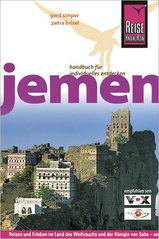
Reisgids Jemen | Reise Know-How Verlag

Uitstekende - meest uitgebreide - reisgids van dit land. Hoge kwaliteit, veel kaartjes en praktische informatie. Duits, 552 (!) bladzijden.

Ausstattung: komplett in Farbe, ca. 100 Fotos, 40 Stadtpläne und Karten, kleine Sprachhilfe Jemenitisch-Arabisch, ausführliches Register, Kartenverweise und Griffmarken, strapazierfähige PUR-Bindung

Jemen, das "glückliche Arabien" (arabia felix) und wahrscheinlich Herkunftsland der Königin von Saba, liegt klimabegünstigt im Süden der arabischen Halbinsel. Im Südosten und ehemaligen Südjemen glänzt das sagenumwobene Wadi Hadramaut mit seinen großartigen, geschichtsträchtigen Lehmhausstädten und palmengesäumten Sandtälern.

Das vorliegende bewährte Reisehandbuch beschreibt das Land in seiner ganzen Vielfalt. Verfasst wurde es von ausgesprochenen Landeskennern, die mit öffentlichen Verkehrsmitteln, zu Fuß und mit Mietwagen durch das ganze Land, seit der Wiedervereinigung auch durch den südlichen Teil, reisten. Das so entstandene Buch ist in seiner Ausführlichkeit und Genauigkeit einmalig.

Übersichtlich gegliedert vermittelt der Reiseführer alle wichtigen Informationen für eine sinnvolle Reisevorbereitung und für einen gelungenen Jemenurlaub.

Die zwei Rundreisevorschläge führen den Leser zu den touristischen Hauptattraktionen, aber auch in weniger bekannte Regionen dieses so interessanten Urlaubszieles. Zusätzlich wird in Exkursen Landestypisches wie z. B. über die jeminitischen Genußmittel Kaffee und Kat oder historische Rückblicke über die Entdeckungsgeschichte des Wadi Hadramaut vermittelt. Eine Vielzahl von Karten und Stadtplänen erleichtert die Planung und Durchführung von Touren. Routenbeschreibungen und Tipps für Wanderer und Bergsteiger ergänzen die Rundreisevorschläge. Mit Sicherheitshinweisen für alle Landesteile.

€ 15.95
Wegenkaart - landkaart 4 China Noordwest - Northwest China | Gizi Map

Mooie overzichtskaart van alleen noord west China met Urumqi centraal gelegen. Fraai kleurgebruik voor hoogte en reliëf. De kaart is tweetalig en heeft een groot aantal plaatsen, topografisch zonder meer goed.

Gebied: de Sinkiang (Xinjiang) Autonomie Regio. De kaart grenst aan de Russische en Mongoolse grens tot aan het begin van Tibet, and westelijk naar Lake Balqash in Kazakhstan, tot Gilgit op de Karakoram Highway, en tot Srinagar in India, inclusief de betwiste Aksay Chin regio.

Bold altitude colouring, with spot heights and names of mountain ranges and other geographical features, provides an excellent picture of the terrain. The maps show various categories of roads including selected tracks, with intermediate driving distances marked on many routes. Railways, shipping and ferry lines, and local airports are also shown. Province boundaries are indicated and national parks are highlighted. Symbols marks landmarks and features such as tombs, monasteries, churches, temples, ruins, UNESCO sites including the Great Wall, and other places of interest.


€ 13.95
Wegenkaart - landkaart China | ITMB

Een degelijke kaart met aanduidingen van o.a. nationale parken, vliegveld, benzinepomp, dirt-roads en kleine plattegrond van hoofdstad. Als overzichtskaart goed te gebruiken.

Tweezijdig, op de ene kant West China en op de andere zijde Oost China.

This edition is printed on waterproof, tear-resistant paper, and has a new cover picture showing a portion of the Great Wall. A cursory glance at the map will show an incredible number of motorways. We still show some as being under construction, but updating the road network is now essentially completed. The amazing rapid rail network is now also essentially complete and all such train lines are noted on the map in a red-dashed format. Inset maps of Beijing and Shanghai are shown on side 2, as well as a list of Top Attractions. We continue to show contentious political disputed territories based on practical administrative control, so India's northeast is shown as being under India's control, whereas parts of the northwest are shown under Chinese control. Taiwan is shown, simply because it is geographically close to mainland China. We do not wish to be drawn into the question of the future status of the island; it is independently operating, as it has been doing since 1949.


Legend Includes:

Roads by classification, Rivers and Lakes, National Park, Airports, Points of Interests, Highways, Main Roads, Zoos, Fishing, and much more...

€ 10.25
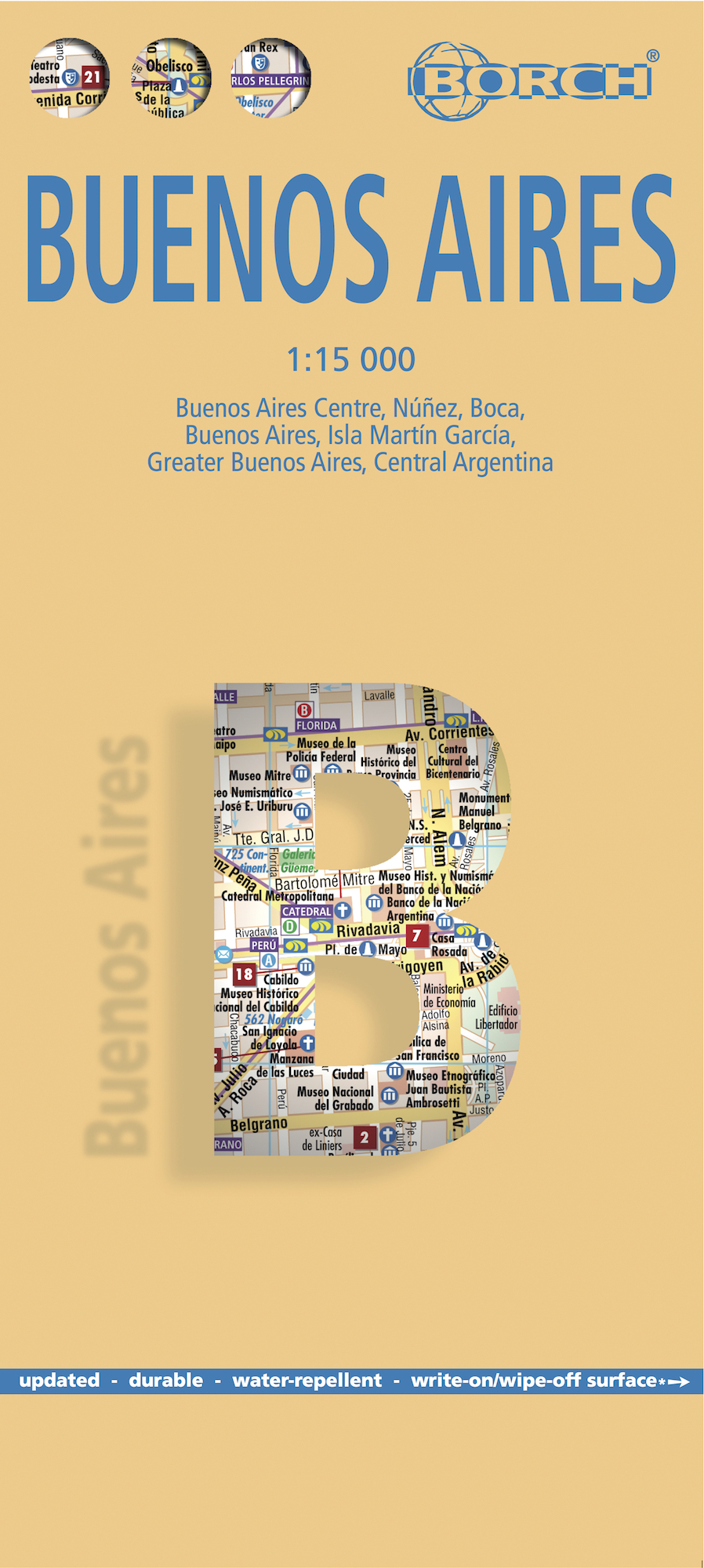
Wegenkaart - landkaart Buenos Aires | Borch

Borch Buenos Aires is een duidelijke, geplastificeerde plattegrond van het centrum met informatie over openbaar vervoer en bezienswaardigheden. Inclusief straatnamenregister.


Our soft-laminated folded map of Buenos Aires in the 7th edition shows: Buenos Aires Centre 1:15 000, Isla Martín Garcia 1:18 000, Núnez 1:15 000, Boca 1:15 000, Buenos Aires 1:75 000, Greater Buenos Aires 1:530 000, Argentina Central 1:3 000 000, Public Transport Buenos Aires, Argentina administrative and time zones, Top 30 Sights. Borch Maps are easy to fold, durable and water-repellent with a wipeable surface. Borch Maps show hotels, museums, monuments, markets, public transport, top sights and points of interest, useful statistics, conversion charts for temperatures, weights and measurements, climate charts showing temperatures, sunshine hours, precipitation and humidity, overview maps, time zones, and much more...


Buenos Aires, located on the Rio de la Plata inlet on the southeastern side of the South American continent, is the capital and largest city of Argentina as well as its financial, industrial and cultural center. It is also home to one of the world's busiest ports. Buenos Aires has always been strongly influenced by European culture - indeed it is known as the "Paris of South America" and boasts a plethora of museums, theaters, art galleries, famous composers, writers and artists, lots of South American temperament and a flourishing arts scene. Tango, originally born in the brothels of the poorer suburbs and accepted and adopted into Parisian high society in the 1920s, very much represents the spirit of this fascinating city and the passion of its people. So when you visit a local café be prepared for more than just a cup of coffee: you might be lucky enough to witness the locals literally sweeping each other off their feet. The most popular tourist attractions can be found in the inner city and include beautiful architecture, monuments and artworks, and of course plenty of tango shows!


€ 11.95
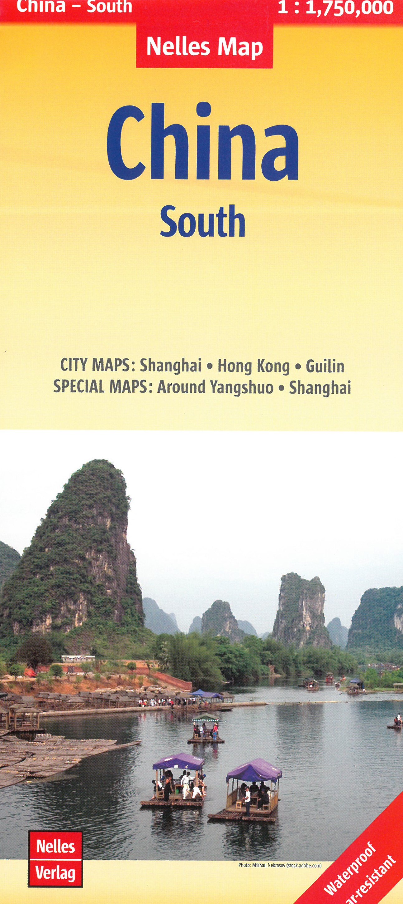
Wegenkaart - landkaart 4 China - Zuid South | Nelles Verlag

Goede kaart van een deel van China. Aan beide kanten bedrukt. Met veel toeristische aanduidingen als nationale parken en culturele bezienswaardigheden. Prima leesbare kaart. Door het kleine formaat (tweezijdig) handig bij het rondreizen. Geen register. De plaatsen staan niet in Chinese tekens vermeld; de regionale GIZI kaarten van China hebben dat wel!


€ 11.95
Wegenkaart - landkaart 1 India - North Noord | Nelles Verlag

Goede kaart van een deel van India. Aan beide kanten bedrukt. Met veel toeristische aanduidingen als nationale parken en culturele bezienswaardigheden. Prima leesbare kaart.

Detailkaart: Ladakh / Zanskar 1 : 650.000

Stadsplattegronden van Agra, Delhi en Srinagar.

the area north of Delhi, Agra and Jaipur, extending to cover the whole of Kashmir, but without including the far eastern part of the Indian Himalaya around Nanda Devi and the Pindari Glacier. An enlarged enlargement shows Ladakh and Zanskar at 1:650,000. Also included are basic street plans of central Delhi, Agra and Srinagar.


€ 27.95
Reisgids Tanzania safari guide | Bradt Travel Guides

Zeer goede gids voor Tanzania en betrouwbaar alternatief voor de Lonely Planet. Zo mogelijk nog completer! Zelfde soort informatie als de Lonely Planet: vol met praktische feiten en achtergronden.

This new, thoroughly updated ninth edition of Bradt's Tanzania Safari Guide remains the only practical guidebook to the country that reflects tourism's shift away from backpackers and budget camping safaris to upper-end and mid-range safaris and beach holidays.

Unlike other guidebooks, the main focus is practical information about Tanzania's peerless collection of national parks, game reserves and other safari destinations, including the Serengeti, Ngorongoro Crater, Tarangire, Ruaha, Katavi, Gombe Stream, Mahale Mountains, and four new national parks designated in 2019, including Nyerere, which encompasses much of the former Selous Game Reserve and is thought Africa's largest National Park. Every major reserve is given a dedicated chapter detailing its ecology, wildlife, accommodation options, game drives and other activities.


Written by acknowledged Africa experts and prolific guidebook writers Philip Briggs and Chris McIntyre, Bradt's Tanzania Safari Guide also focuses on other popular and off-the-beaten-track tourist attractions, including Mount Kilimanjaro, the 'Spice Island' of Zanzibar and the mysterious Kilwa Ruins and Kondoa Rock Art (UNESCO World Heritage Sites often relegated to the small print of other guides).


Accommodation listings for the safari destinations are the most detailed and authoritative available, the authors weeding through the ever-growing number of lodges and camps to create a critically selective list of the best properties in every price bracket (upmarket, mid-range and budget). Meanwhile, a 48-page wildlife color field guide details all species a visitor can expect to find on a safari. Since the mid-1980s, when only basic camping safaris were feasible, Tanzania has grown to be one of Africa's top safari destinations.


This new edition actively responds to this evolution by focusing on the country mainly as a safari and short-stay fly-in holiday destination. It also reflects the growing trend away from large lodges towards small, exclusive eco-friendly camps in remote parts of national parks and bordering community concessions.


Beyond spectacular year-round game-viewing, Tanzania is one of Africa's most varied countries, its long palm-fringed coastline offering post-safari relaxation and complemented by the Great Rift Valley, portions of Africa's three largest lakes, and impressive mountains. Use this guide to discover everything Tanzania has to offer


€ 22.50
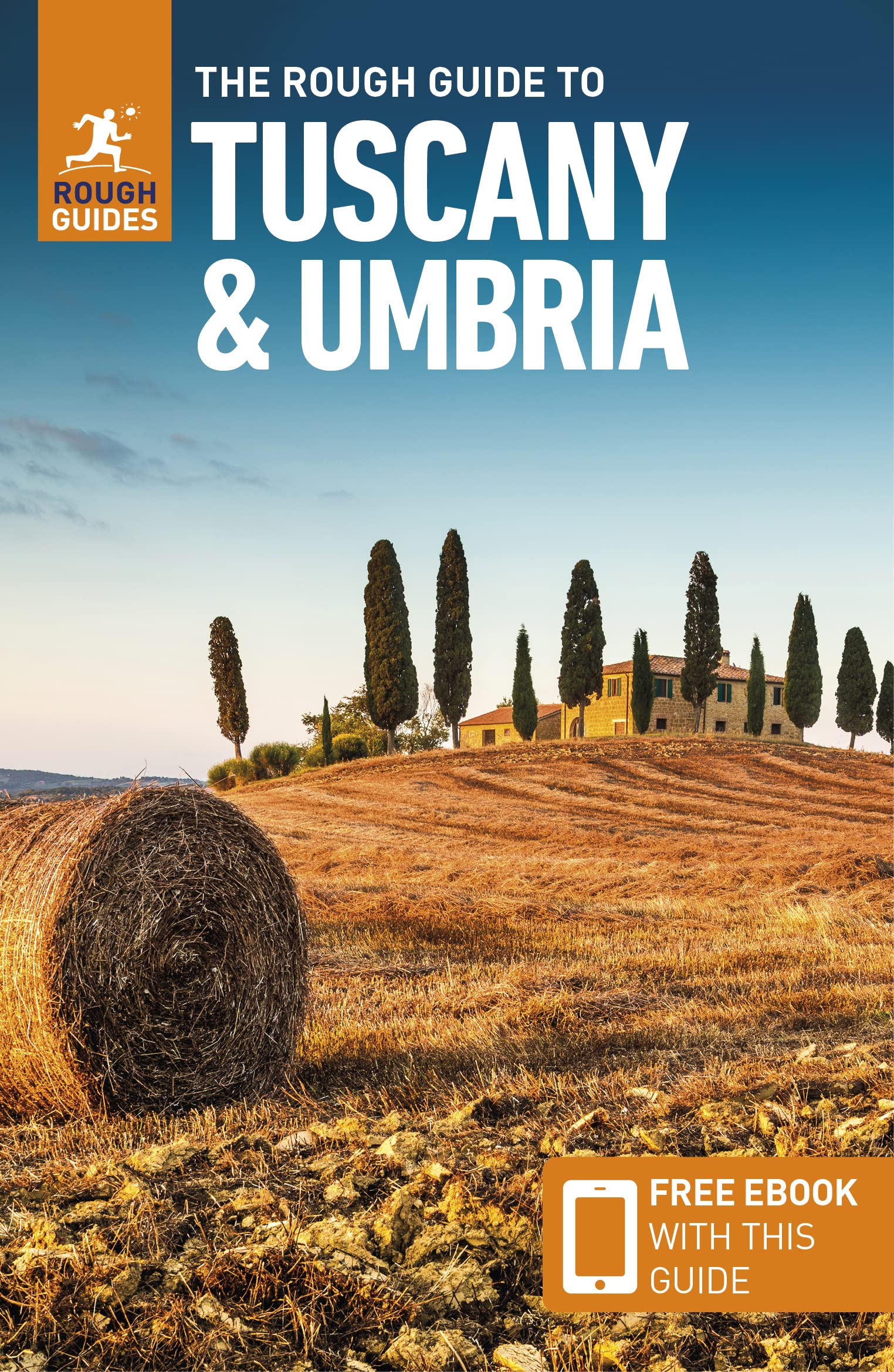
Reisgids Tuscany & Umbria - Toscane en Umbrië | Rough Guides

Zeer goede reisgids voor zowel de georganiseerde maar vooral voor de zelfstandige reiziger. Boordevol informatie over reizen, slapen, eten, maar ook musea en cultuur. Voor Europese landen meestal completer en beter dan de Lonely Planet !

Your ultimate guide to the food, art, architecture, history, and beauty of one of Italy's most magnificent regions. Explore Siena, San Gimignano, Florence, Assisi, and more with detailed maps, itineraries, and up-to-date insider tips.


Detailed accounts of every attraction provide all the information you need to explore the country's exceptional museums, iconic architecture, and its many rural escapes. The introduction will help you choose where to go and what to see, inspired by dozens of stunning photos. The Things Not to Miss section runs through all the must-sees, while the Itineraries guide you around the country's highlights. Navigation through the book and on the ground is aided by clear color maps with every chapter. Each map is keyed with all the accommodation, beaches, eating and drinking options, nightlife venues, and shops that are reviewed in detail in the Listings chapters.

Abonneer op