Natuurgids Animals of the Serengeti | Princeton University
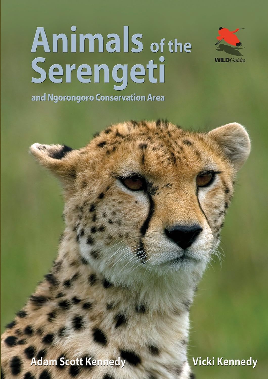
€ 35,-Containing 146 stunning color photos, Animals of the Serengeti is a remarkable look at the mammals and reptiles mo…
De Zwerver →
Containing 146 stunning color photos, Animals of the Serengeti is a remarkable look at the mammals and reptiles mo…
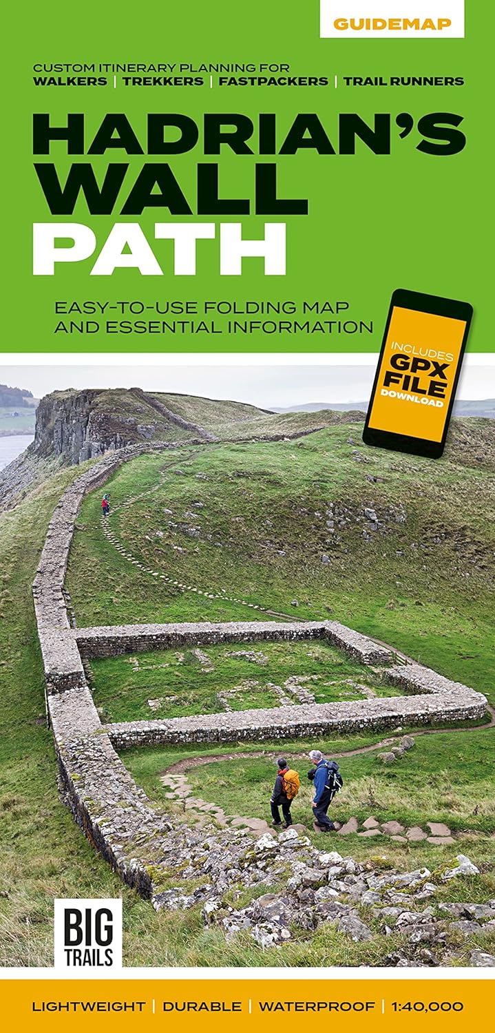
The 138-kilometre Hadrian's Wall Path traces a grey line along Great Whin Sill, the dolerite ridge chosen by the R…
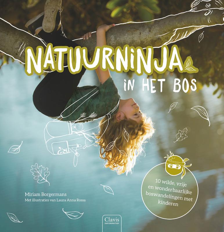
Wandelen saai? Deze heerlijk speelse en inspirerende wandelingen vol NATUURNINJASKILLS prikkelen kinderen om weer …


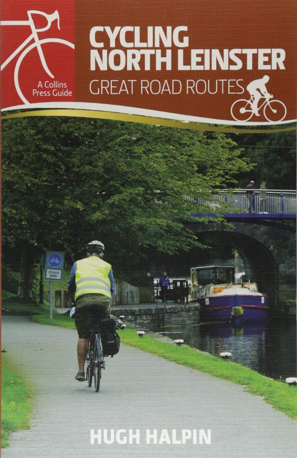
With quiet roads, striking scenery and brimming with 5,000 years of heritage, north Leinster is a marvellous regio…