Wandelgids 15 Sentiers de l'Ardenne - de la Lorraine Belge à l'Eifel |
€ 23,-De GR15 verbindt Belgisch Lotharingen met de Eifel in Duitsland. Je start aan de bron van de Semois in Aarlen en e…
De Zwerver →
De GR15 verbindt Belgisch Lotharingen met de Eifel in Duitsland. Je start aan de bron van de Semois in Aarlen en e…

Mooie geplastificeerde wandkaart van België en Luxemburg.
Vijf jaar lang werkte David Van Reybrouck aan zijn monumentale Revolusi. Hij interviewde bijna tweehonderd mensen,…
Duik in een wereld van vlaggen met de "Vlaggen Van De Wereld |100 stukjes puzzel". Perfect voor de geo-enthousias…
Het zonnestelsel: deze leuke en educatieve puzzel van 100 stukjes. Verpakt in een handige kubus die je overal mee …
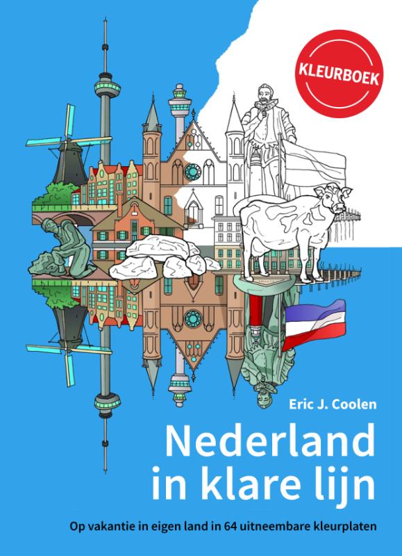
Het kleurboek Nederland in klare lijn neemt je mee langs iconische plekken door heel het land. Van de Zaanse Schan…
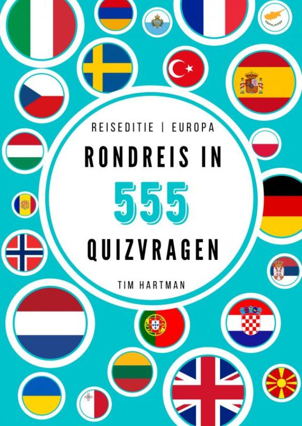
Weet jij welke Europese hoofdsteden slechts vier letters hebben, waar in Europa Roger Federer, Jozef Stalin en Chr…

Het Grote Bosatlas Puzzelboek neemt je mee over de hele wereld. Het doet een beroep op je bedrevenheid in het leze…
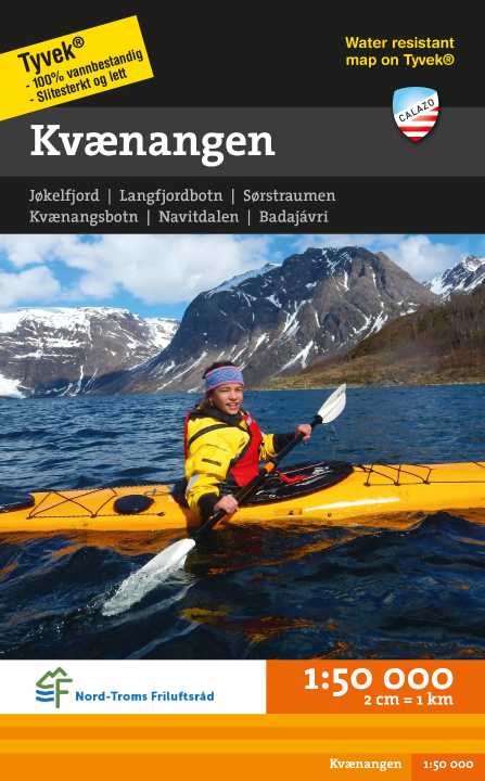
Hiking map at 1/50,000 published by Calazo. This map is part of Calazo's series of modern maps with unique richnes…
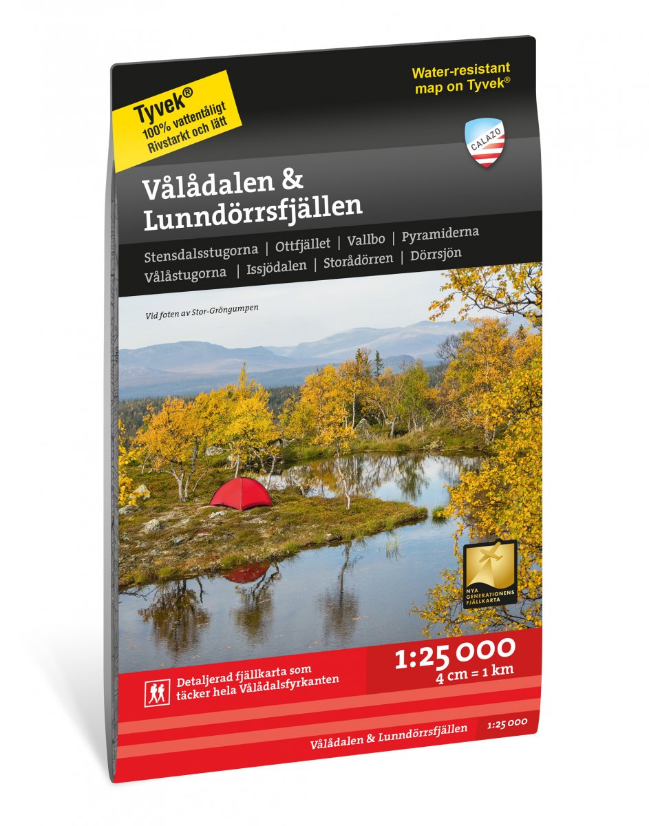
Dit is een unieke kaart met zoveel details dat we nog nooit eerder een kaart van het Jämtland-gebergte hebben gevo…