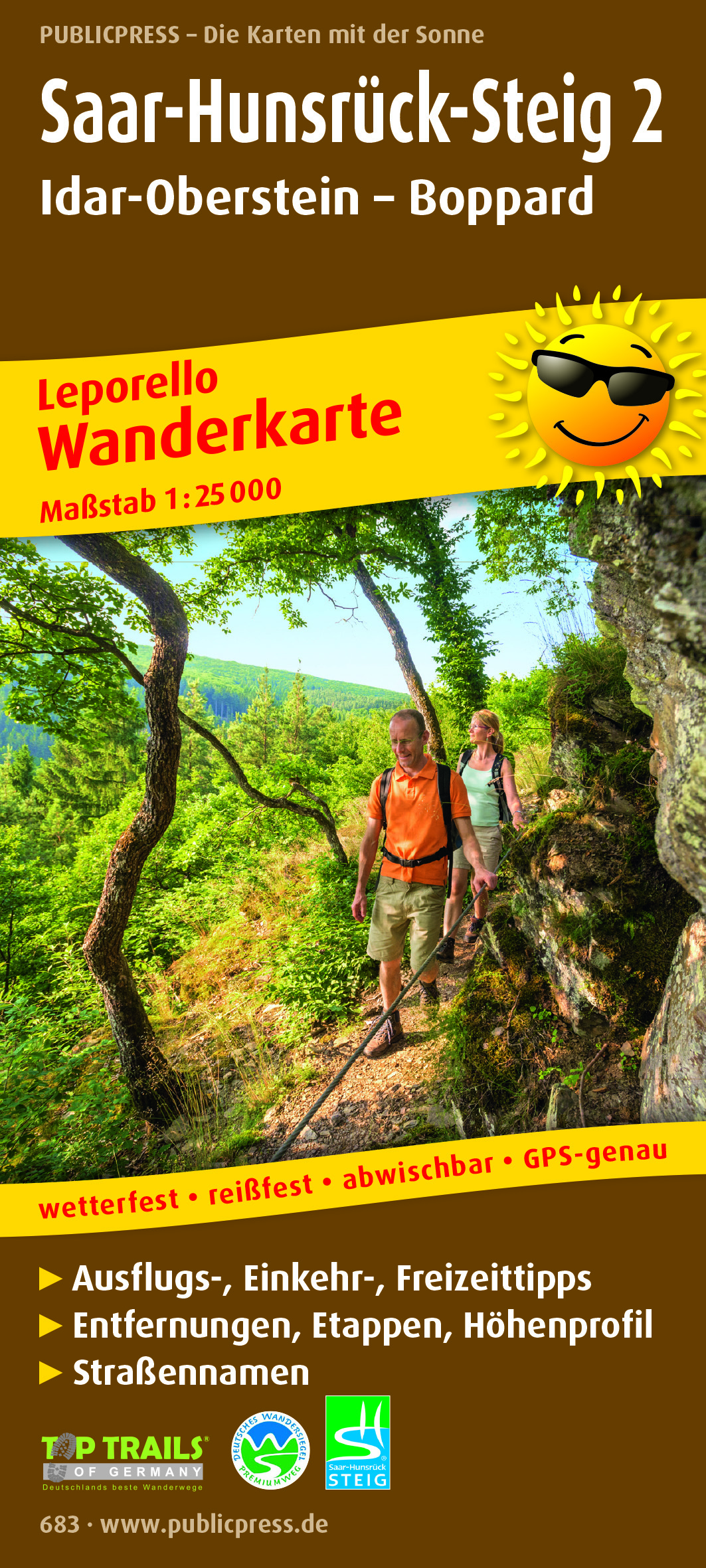
Wandelkaart 683 Saar-Hunsrück-Steig 2 | Publicpress
€ 18,-Raum zum Entdecken, Zeit zum Entspannen, Landschaften zum Genießen: Von Perl/Schengen an der Mosel über Saar und H…
De Zwerver →
Raum zum Entdecken, Zeit zum Entspannen, Landschaften zum Genießen: Von Perl/Schengen an der Mosel über Saar und H…

Welkom in de wondere wereld van reisfotografie. Dit type fotografie wordt in één adem genoemd met de andere bekend…
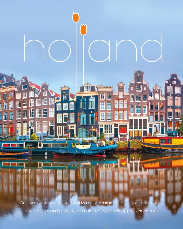
Een tweetalig boek (Nederlands en Engels) over Holland, voor Nederlanders én buitenlanders die hier op bezoek zijn…
Zeer gedetailleerde wandelkaart , schaal 1:25.000 van Baden Württemberg met ingetekende wandelroutes. Auf dies…
Goede wandelkaart met vrijwel alle topografische details als hoogtelijnen, vegetatie, schaduwtekening maar ook de …
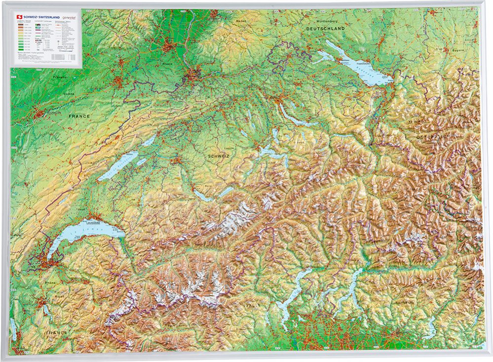
De uitgever van de kaart is de bekende Duitse uitgever GeoRelief. Deze topografische kaart van Zwitserland heeft e…
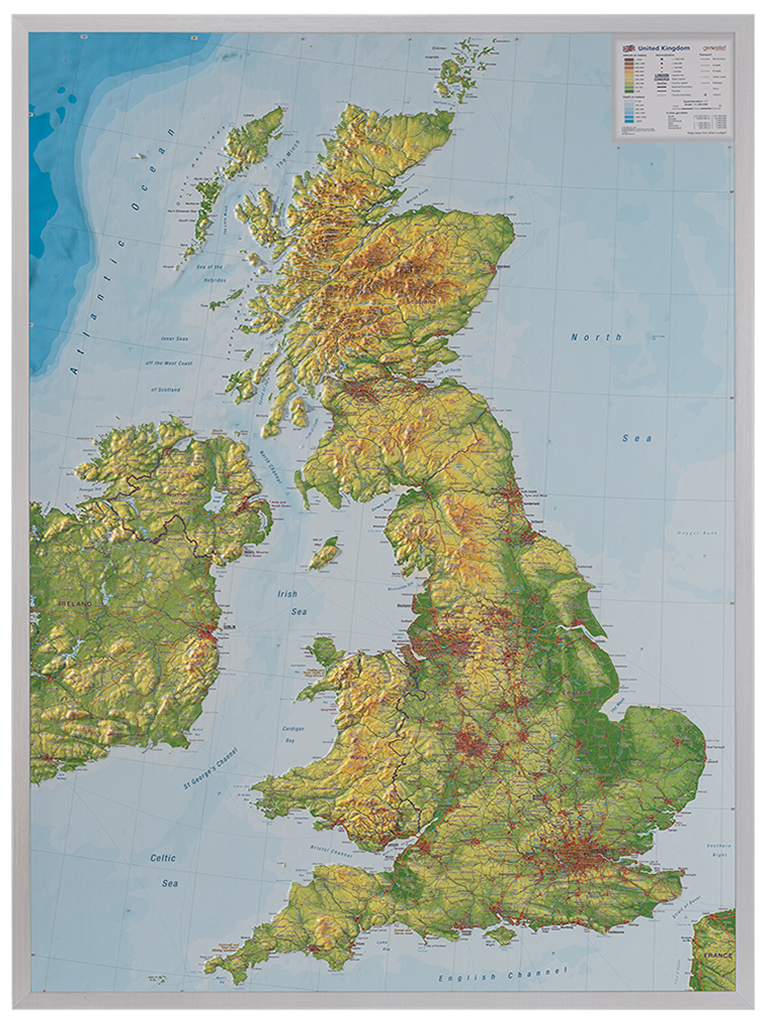
De uitgever van de kaart is de bekende Duitse uitgever GeoRelief. Deze topografische kaart van Groot Brittannië he…

Deze topogids (Franstalig - wordt geleverd met woordenlijst) is het resultaat van een samenwerking tussen het 'Co…
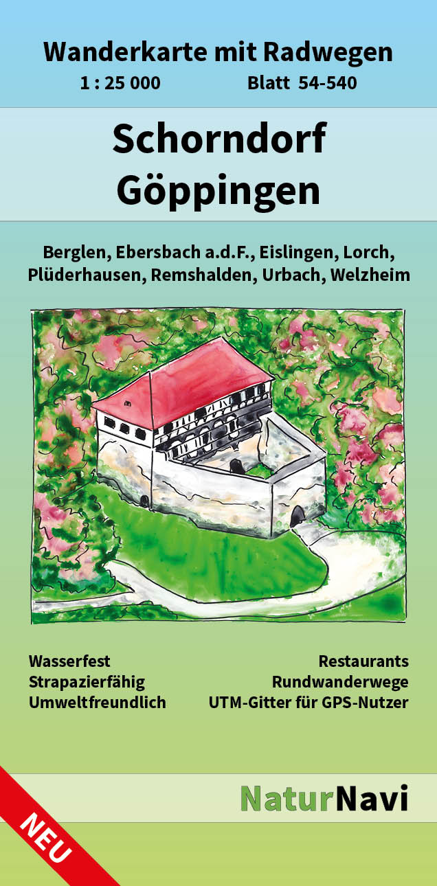
Zeer gedetailleerde wandelkaart op schaal 1:25.000 van Baden Württemberg met ingetekende wandelroutes. Auf die…
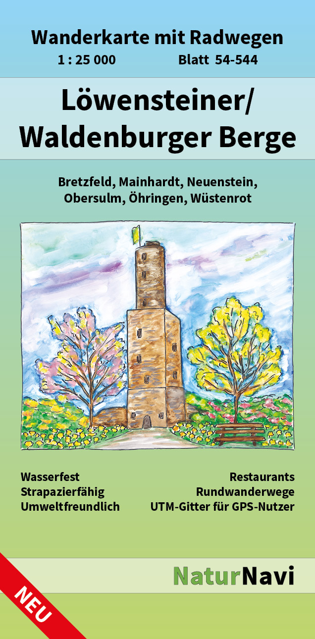
Zeer gedetailleerde wandelkaart op schaal 1:25.000 van Baden Württemberg met ingetekende wandelroutes. Auf die…