Wandelkaart Terrängkartor Mountain Bike Map - Ånnaboda, Nora & Hjulsjö
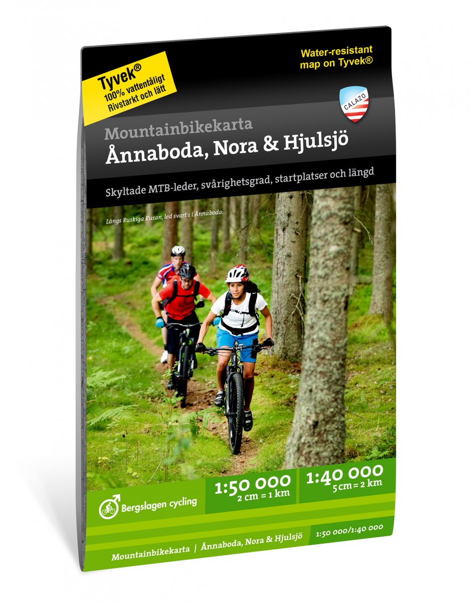
€ 23,-Deze kaart is ontwikkeld in samenwerking met Bergslagen Cycling en beschrijft de mountainbikeroutes rond Hjulsjö, …
De Zwerver →
Deze kaart is ontwikkeld in samenwerking met Bergslagen Cycling en beschrijft de mountainbikeroutes rond Hjulsjö, …

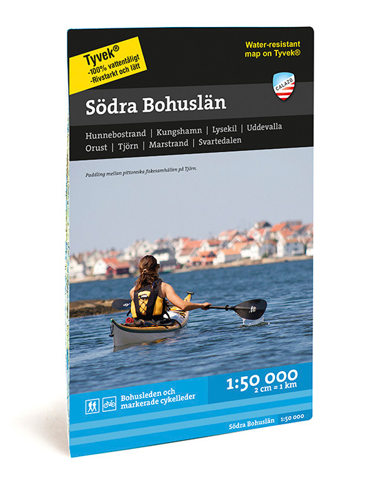
Dit is de zuidelijke van onze twee kaarten die Bohuslän bestrijken. Het is zowel een traditionele terreinkaart voo…
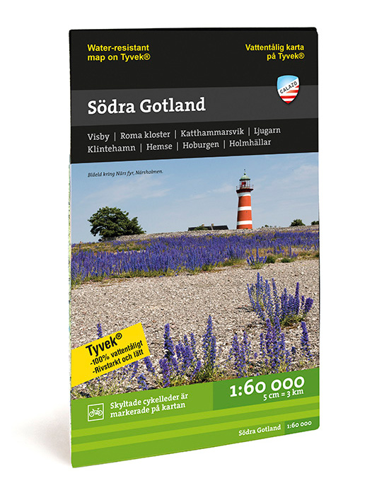
Gotland is werkelijk vol met kleine grindwegen en paden. Deze waterbestendige terreinkaart op schaal 1:60.000 is p…
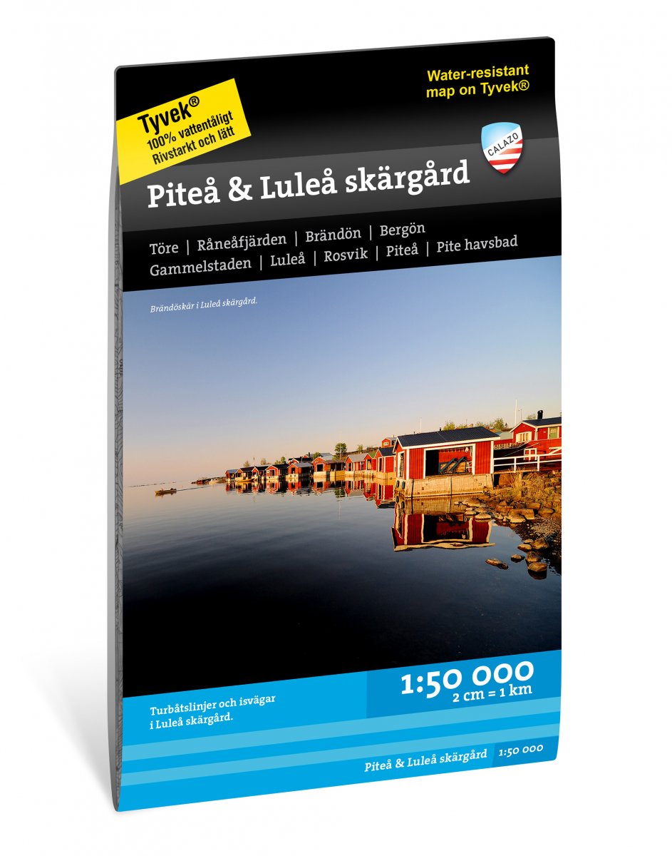
Deze kaart is ontwikkeld met de focus op de archipel rond Piteå en Luleå. Het omvat het hele gebied tussen Piteå i…
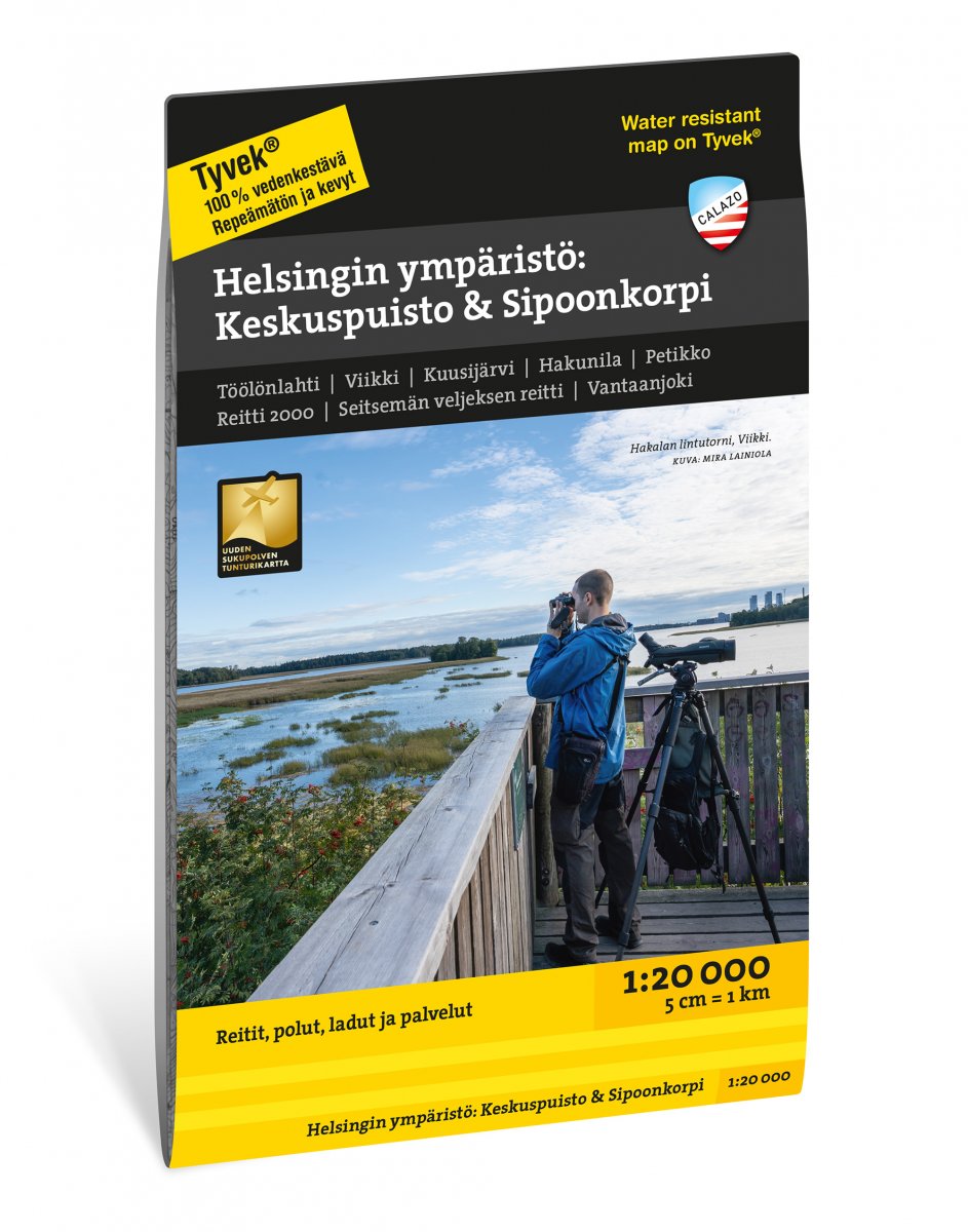
Onze hoofdstad is een paradijs voor dagwandelaars, het hele jaar door. De routes strekken zich uit van de kust tot…

Famous around the globe for its riotous Carnaval, Rio de Janeiro offers visitors everything from beautiful beaches…
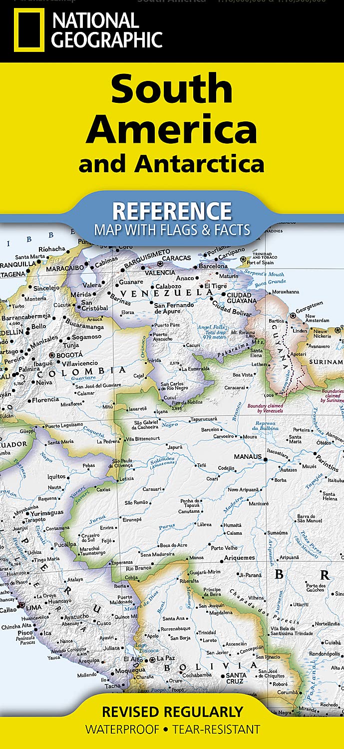
• Waterproof • Tear-Resistant • Reference Map Expertly researched and designed, National Geographic's South Am…
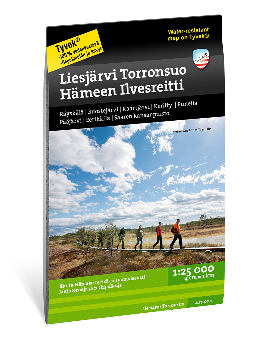
Ontdek de Charme van Liesjärvi Nationaal Park Liesjärvi Nationaal Park, een parel in het Finse landschap, wor…