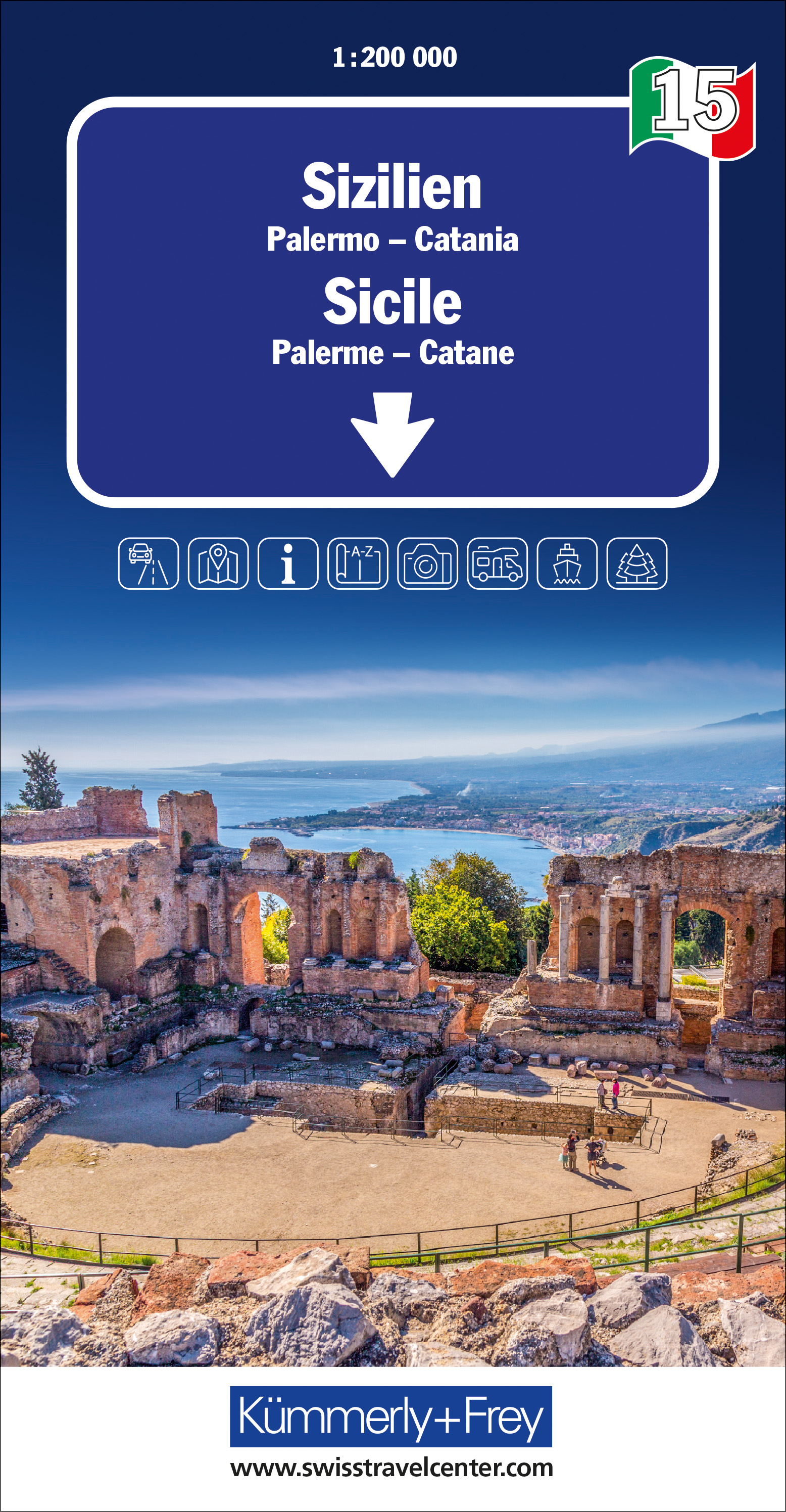
Goede wegenkaart van een deel van Italie. Mooi kleurgebruik geeft de kaart een natuurkundig beeld met veel toeristische informatie. Gebaseerd op de kaarten van de Italiaanse anwb. Vrijwel elke info is er op te vinden, maar helaas geen campings.
€ 13.50
€ 13.50
Goede wegenkaart van een deel van Italie. Mooi kleurgebruik geeft de kaart een natuurkundig beeld met veel toeristische informatie. Gebaseerd op de kaarten van de Italiaanse anwb. Vrijwel elke info is er op te vinden, maar helaas geen campings. (kaartno. 1392)
Optimale Orientierung - die Regionalkarten helfen weiter. Mit den Regionalkarten von Kümmerly+Frey fühlen Sie sich auch in den Ferien wie zu Hause. Sie wissen immer, wo Sie sind und wie weit es bis zur nächsten Sehenswürdigkeit ist. Die Regionalkarten sind Lizenzausgaben namhafter kartografischer Verlage. Es gibt sie von folgenden Ländern: Deutschland, Österreich, Italien, Frankreich, Grossbritannien, Spanien/Portugal, Norwegen, Schweden und Dänemark. Beachten Sie dazu die detaillierten Blattschnitte. Massstab 1: 200 000
€ 19.50
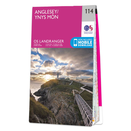
Zeer goede detailkaart met topografische ondergrond. Kleurgebruik is goed over nagedacht: bijzonder goed leesbaar en helder kaartbeeld. Hierop zijn toeristische symbolen van bezienswaardigheden ingetekend, daarnaast staan bijvoorbeeld campings en jeugdherbergen vermeld en - voor wandelaars het belangrijkst - alle right of way paden en Lange afstands Wandelpaden zijn er op te vinden. De ideale kaart voor het wandelen in Engeland, Wales of Schotland. De kaarten zijn te gebruiken met GPS (UTM OSGB36), de legenda is in het Engels, Frans en Duits.
Plaatsen op deze kaart: Anglesey, Menai Bridge/Porthaethwy, Beaumaris, Llangefni, Llanerchymedd, Benllech, Llanddona, Penmon, Llangoed, Pentraeth, Llanedwen, Newborough/Niwbwrch, Aberffraw, Rhosneigr, Gwalchmai, Valley/Y Fali, Moelfre, Penmon, Amlwch, Llanfaethlu, Cermaes and Holyhead/Caergybi
€ 23.95
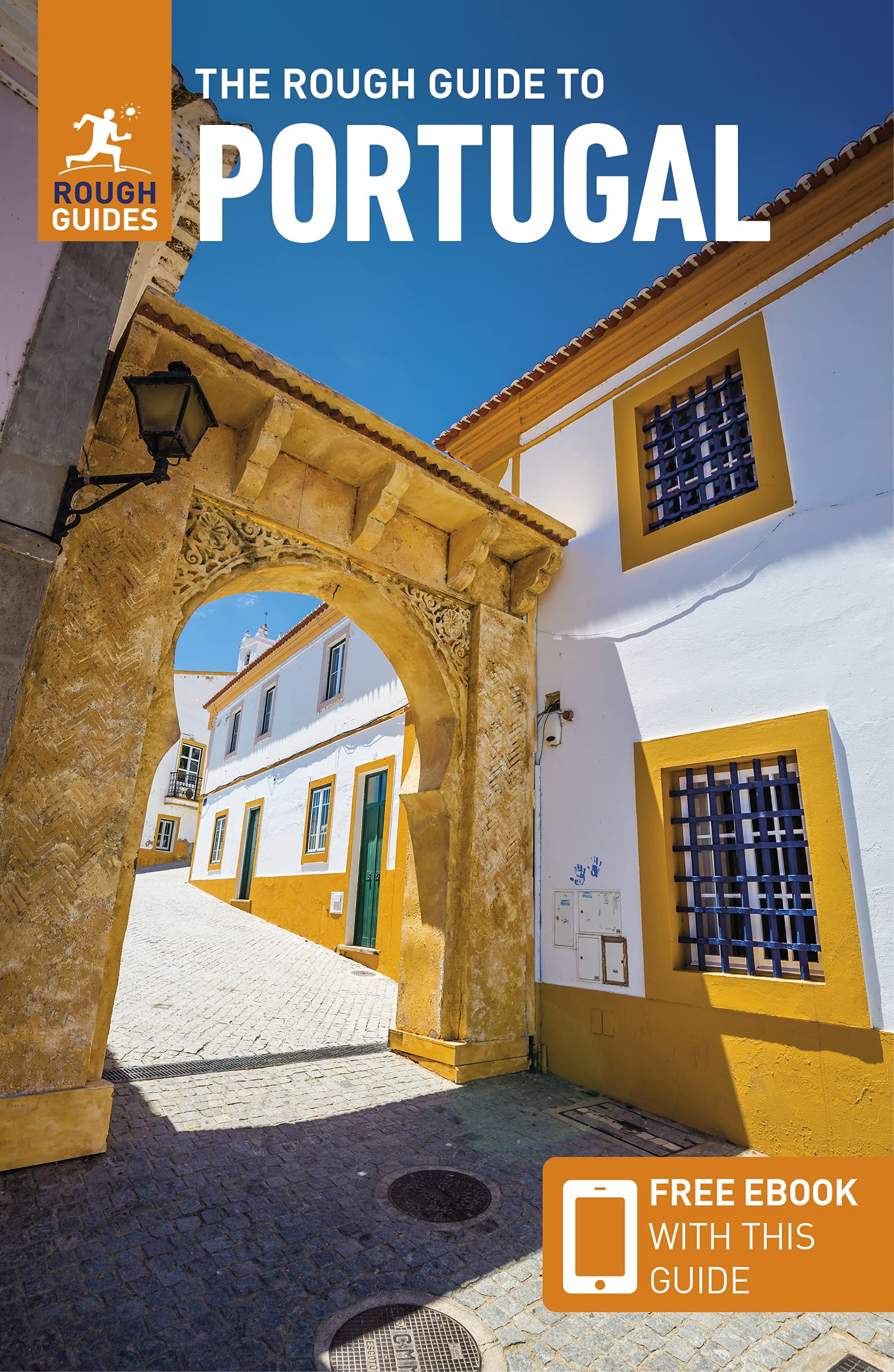
Zeer goede reisgids voor zowel de georganiseerde maar vooral voor de zelfstandige reiziger. Boordevol informatie over reizen, slapen, eten, maar ook musea en cultuur. Voor Europese landen en vooral steden meestal completer en beter dan de Lonely Planet !
"The Rough Guide to Portugal" is the essential travel guide with clear maps and coverage of the country's unique attractions. "The Rough Guide to Portugal" guides you around the fashionable cities of Lisbon and Porto, takes you hiking in the hills of central and northern Portugal, and covers every beach along the Algarve making it the ideal companion whether you're on a city break, beach holiday, walking or driving. The guide unearths the best sites, hotels, restaurants, and nightlife across every price range - from backpacker hostels to beachfront villas and boutique hotels. You'll find specialist coverage of Portugese history, art and literature and detailed information on the best markets and shopping for each region. The locally-based Rough Guide author team introduce the best vineyards, country taverns and fado clubs and provide reliable insider tips from driving Portugal's roads to shopping for linen and lace. Explore all corners of Portugal with authoritative background on everything from Porto's architecture to surfing at Peniche, relying on handy language tips and the clearest maps of any guide. Make the most of your holiday with "The Rough Guide to Portugal".
€ 15.45
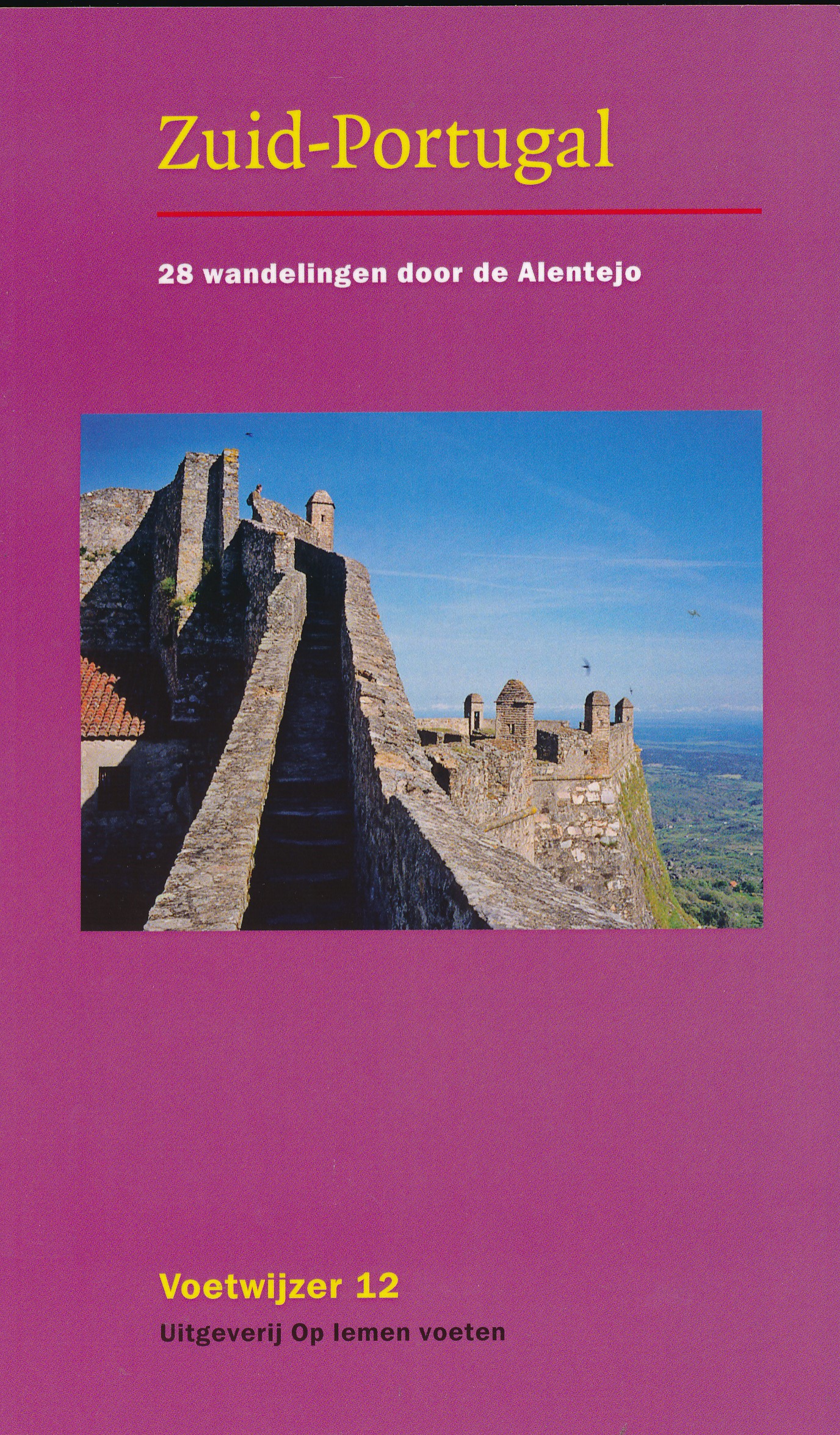
Anders dan de titel doet vermoeden, gaat het niet om de Algarve en zijn directe achterland, maar om het midden van Portugal – aan de andere kant van de Taag of Tejo: de Alentejo zoals die vrij onbekende streek in Portugal heet. Aan de kust onder Lissabon, zo tussen Setubal en Odeceixe liggen afwisselend steile kliffen, grillige baaien, pittoreske vissershaventjes en brede stranden, lage duinen, lagunes, rivierdelta’s en rijstvelden. In het noorden van de Alentejo een middengebergte met veel kastelen en strategisch gelegen stadjes tegen de grens met erfvijand Spanje. Land van kastanjebomen, steeneiken, dolmens en marmergroeven. Met het vestingstadje Evora als erfstuk uit Portugal’s gouden eeuw van ontdekkingsreizen en winstgevende specerijenhandel in de oost. In het zuiden wordt het land heuvelachtiger, opener en weidser: graanvelden, olijfbomen, kurkeiken, stuwmeren. De beschreven dagwandelingen zijn aan de korte kant. Zo tussen de 10 en 15 kilometer, met uitschieters naar beneden: 5,7 en 8 kilometer. Sommige zijn niet per trein en bus te bereiken: de gids richt zich nadrukkelijk ook op de ‘fly-drive’ reiziger met een huurauto. Routeschetsen zijn ter oriëntatie bijgevoegd. Kaarten blijven in Portugal een probleem, dus je bent afhankelijk van de beschrijving in deze gids en het volk dat je onderweg tegenkomt.
€ 14.95
Uitstekende wegenkaart van Tanzania met zowel de toeristische informatie als Nationale Parken en bezienswaardigheden, maar ook de topografische details als plaatsen en wegen, spoorlijnen en rivieren, hoogten, lengte- en breedtegraden.
An easy-to-use road and geographical map of Tanzania to plan your trip, to prepare your itinerary, and to travel independently in this African country.
This double-sided map contains a place name index, inset maps of Dar es Salaam, Arusha and Stone Town.
The legend is in English. Touristic information: places of interest, vistas, ruins and archaeological sites, museums, Unesco World Heritage sites, hotel/motel, campsites, ferry lines, ports, airports, national parks, petrol stations, hospitals and médical facilities, border crossing.
€ 19.50
De enige Nederlandstalige reisgids van Kefalonia en Ithaka. Met bezienswaardigheden, accommodaties, eten en drinken en achtergronden. Veel illustraties geven je een goed idee van het eiland. Geschreven door een inwoner van Kefalonia ... de vrouw van een burgemeester!
Ontdek Kefalonia en Ithaka van Hettie Metaxas-Putman Cramer Reithron Editions is een Nederlandstalige reisgids over het Ionische eilanden Kefalonia (Cephalonia) en Ithaca met informatie over toeristische bezienswaardigheden, achtergrondinformatie en geschiedenis, excursies op het eiland en beschrijvingen van wandelingen, flora en fauna en de mooiste stranden, waaronder Mirtos beach, dat bekend staat als het fraaiste strand van Griekenland. Verder eenvoudige kaarten en mooie kleurenfoto's.
Ook handig is de Wegenkaart van Kefallonia
€ 11.95
Goede geplastificeerde wegenkaart van Taiwan. Aan beide kanten bedrukt. Met veel toeristische aanduidingen als nationale parken en culturele bezienswaardigheden. Prima leesbare kaart.
Kaohsiung 1 : 30.000
Taichung 1 : 20.000
Tainan 1 : 20.000
Taipei 1 : 30.000
Folded road and tourist map of Taiwan at 1:400,000 scale. Places of interest, national parks, and beaches are all highlighted and shaded-relief colouring clearly depicts the topography.
The map includes insets shwoing Taipei at 1:30 000, Taichung at 1:20 000, Tainan at 1:20 000, and Kaohsiung at 1:30 000. The legend is in three languages including English.
For over 20 years Nelles maps have been renowned throughout the world for their quality, faithfulness to detail and up-to-dateness.
So that streets, ferry links, railway lines, etc are always up to date, Nelles are continuously upgrading their maps - with the help of their international team of correspondents. Roads are provided with an exact kilometerage. Sights are highlighted extra clearly so that you don't miss any tourist attractions.
A good map must be hard-wearing and allow itself to be folded up simply and quickly. Nelles Maps are a handy pocket size with the reliable, practical concertina fold. In addition they use an extra high-quality speciality paper resulting in considerably increased fold strength.
€ 13.95
Een degelijke kaart met aanduidingen van o.a. nationale parken, vliegveld, benzinepomp en dirt-roads. Als overzichtskaart goed te gebruiken. Met Laos, Cambodja, Vietnam, Thailand, Maleisië, Filipijnen en Indonesië.
The part of the world from southern China, through the Indo-Chinese peninsula, and sweeping through the Indonesian archipelago to the hundreds of islands comprising the Philippines, is a fascinating part of the world to map. Countless cultures interact in this vast region - the mountain people along the Vietnamese/Laotian border, the fisherman of coastal regions and islands, the lovely and gentle Balinese, and the business-like Javanese. This is an extremely important part of the world - touristically attractive, economically thriving, and scenically unbeatable. This latest edition will be useful for anyone visiting the region. It is detailed, printed double-sided. This map has proven to be a better seller than expected, necessitating a review. We keep the same cover, same ISBN, same price..
Legend Includes:
Roads by classification,International boundary, Motorway, Divided Highway, Major Highway, Highway, Main Road, Railway Tunnel, Ferry Route, River, National Park, Sandy Desert, Coral reef, Marsh, International Port, International Airport, Landing Ground, Active Volcano, Piece of Interest, Lighthouse/Hot Spring, Beach resort, Historic Vestige, Chinese Temple, Church/Mosquee,Sailinf/Canoeing, Market, Cave, Tomb and much more
€ 11.95
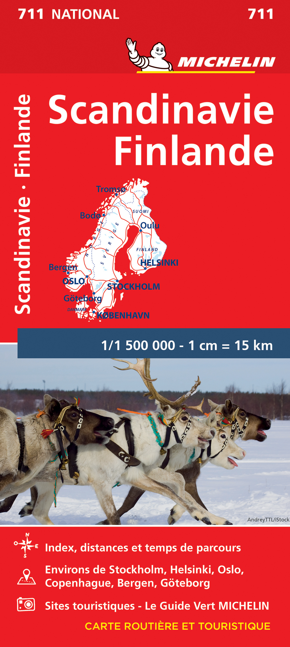
Zoals je van Michelin mag verwachten is deze kaart zeer overzichtelijk en heeft een duidelijk helder kaartbeeld. De kaart geeft uitgebreid toeristische informatie weer. Natuurlijk vanwege het grote gebied een behoorlijk grove schaal.
Scandinavia and Finland map at 1:1,500,000 from Michelin, including the whole of Denmark, Norway, and Sweden, with enlargements showing in greater detail road networks around Helsinki, the Copenhagen - Malmo area, Oslo, Bergen, Stockholm and Gothenburg.
Road network is presented graded according to the width and the number of lanes, indicating full/limited interchanges, toll barriers, driving distances, steep sections, seasonal closures, etc. The map also highlights scenic roads and tourist routes. Railway lines and ferry routes are included and local airports are marked. Symbols highlight various places of interest and mark locations of campsites. Within each country the map also shows internal administrative boundaries with names of the provinces. Topography is indicated by relief shading with colouring for the forested areas. National parks are highlighted. Latitude and longitude lines are drawn at intervals of 1°. The index, arranged by country, is next to the map. Multilingual map legend includes English.
Insets show in greater detail road networks around Helsinki, the Copenhagen - Malmo - Helsingborg area, Oslo, Bergen, Stockholm and Gothenburg. Also included are a distance table, basic traffic regulations, plus a seasonal chart indicating the length of daylight.
Finlande, Norvège, Suéde

