€ 13.50
Fietskaart ADFC Regionalkarte Lüneburger Heide | BVA BikeMedia

Dit is de meest geschikte fietskaart wanneer u wat langer in één regio verblijft. De kaart is van de ADFC (Algemeine Deutsche Fahrrad Club). 

Echt alle relevante fietsinfo is op deze kaart terug te vinden.


Zeer goede heldere, betrouwbare kaart met ingetekend alle bewegwijzerde routes

* Zeer gedetailleerde kaart

* Vermelding van verkeersdrukte

* Vermelding van type wegdek

* Hellingen worden aangegeven middels 1 of 2 pijlen

* Hoogtelijnen aanwezig

* Relevante info als fietsenmakers, campings, horeca etc..aanwezig

* Geschikt voor verblijf in 1 bepaald gebied


ADFC recommended topographic cycling maps of popular regions of Germany giving details of routes, volume of traffic so you can choose the calmest route, details of gradients, camp sites, & tourist information. With these maps you can work out a route to suit all tastes, whether for family or for mountain bikers.

Reviews


€ 26.95
Wegenatlas Routier et Touristique France - Frankrijk 2024 - A4 | Michelin

Gebonden versie van de Atlas Routier 2024, een meer uitgebreide versie van de gewone Michelin atlas Frankrijk. Met 95 stadsplattegronden; info voor zakenmensen; kaart met servicestations langs autosnelwegen en hun dienstverlening.

SSécurité & fiabilité : Une cartographie au 1/200000, lisible et précise, mise à jour chaque année. Les Alertes Sécurité Michelin (fortes pentes, parcours dangereux...). Des fiches pratiques, pour préparer et vivre votre voyage en toute sérénité. Pratique & efficace : dans l'atlas, grâce à une carte de situation reprise sur chaque page. Des pages "Plans de Ville" hyper-pratiques avec la carte des environs, le plan du centre-ville et un QR Code pour vous piloter sur les derniers kilomètres grâce à votre smartphone ! Toutes les informations utiles pour circuler sur autoroutes avec les aires de service et les prestations proposées à proximité, kilomètres et temps de parcours détaillés. 

La sélection Michelin des routes les plus pittoresques, pour sortir des sentiers battus. NOUVEAU : les villes et sites touristiques étoilés, sélectionnés par Le Guide Vert, indiqués sur la cartographie et à retrouver sur votre smartphone.

€ 17.95
Reisverhaal In Namibië. Kampeerreizen door het leegste land van Afrika | Ada Rosman


Diverse keren reisde de auteur door zuidelijk Afrika. In dit boek worden twee reizen beschreven waarbij Namibië centraal staat.

In het eerste deel werd er regelmatig gestopt voor overstekende olifanten. De rode duinen van de Sossusvlei werden bewonderd en in de steden Lüderitz en Swakopmund waanden zij zich in Duitsland. De reis ging helemaal naar Opuwo, Namibisch meest Afrikaanse stad. Op bezoek bij de traditioneel levende Himba en de San stapten zij terug in de tijd.

In het tweede deel, Diere op pad, zijn de indrukken verwerkt van een nieuwe reis die Ada en Jan door deze landen hebben gemaakt. Bekende plekken werden bezocht en nieuwe plekken werden ontdekt.


Ruim 16.000 kilometer werd er afgelegd tijdens deze reizen, waarvan duizenden kilometers op onverharde wegen. Beide reizen geven samen een goed beeld van wat de reiziger kan verwachten in dit deel van Afrika.


- 153 pagina's

- nieuwe kleurenfoto’s en bekende zwart-witfoto’s 

- duidelijke landkaart

- uitgebreide literatuurlijst

- handige websites

- leuke en lekkere recepten om op de benzinebrander creatief te kunnen koken

€ 11.95
Wandelkaart 307 Andros | Terrain maps

Gedetailleerde wegenkaart en wandelkaart met alle kleine wegen, wandelpaden, hoogtelijnen en toeristische informatie aangegeven. Alle tekst is tweetalig in Engels en Grieks en de waterproof kaart is geschikt voor gebruik met GPS.

This is a great map because:

It is waterproof and rip-proof. You can fold and unfold it a thousand times, fold it in irregular ways, dunk it in the sea or leave it out in the rain. This map is indestructible! 

It is the first time the island’s entire coastline is mapped. Cartography was done with TERRAIN’s specially equipped and staffed cartographic vessel. This means that you can locate all beaches of the island, down to the tiniest cove! In fact, the special features of every single beach are recorded: whether it is sandy or pebbled, whether it features natural tree shade, water, a beach bar or organized water sports, whether the seabed in front of the beach is sandy or rocky (so that you will know where to anchor). 

It indicates the boundaries of NATURA 2000 areas so that you will know which parts of the island are of special environmental interest and beauty – thus you can enjoy traveling through them, but also take care to protect them. 

It features the most complete road network. All dirt roads and their junctions, even the tiniest dead-ends (as permitted by the map scale) appear on a map of Andros for the first time! This level of detail may seem redundant, but when you explore an area it is immensely important to know which dirt road comes to a dead end and which exact junction will lead to the beach or sight you are interested in. For example, take a look at the entire area north of Vourkoti village, and it will become perfectly clear why this is the only map that can take you to the exotic beach of Platanistos. 

The length of all trails is measured in kilometers, so you can estimate the duration of your hike no matter which trail/road combination you follow. Also, it features detailed descriptions of 11 trails on the back, including their total length in kilometers and the duration of the hike, and a map of the Andros Hora with all points of interest marked.

€ 9.95
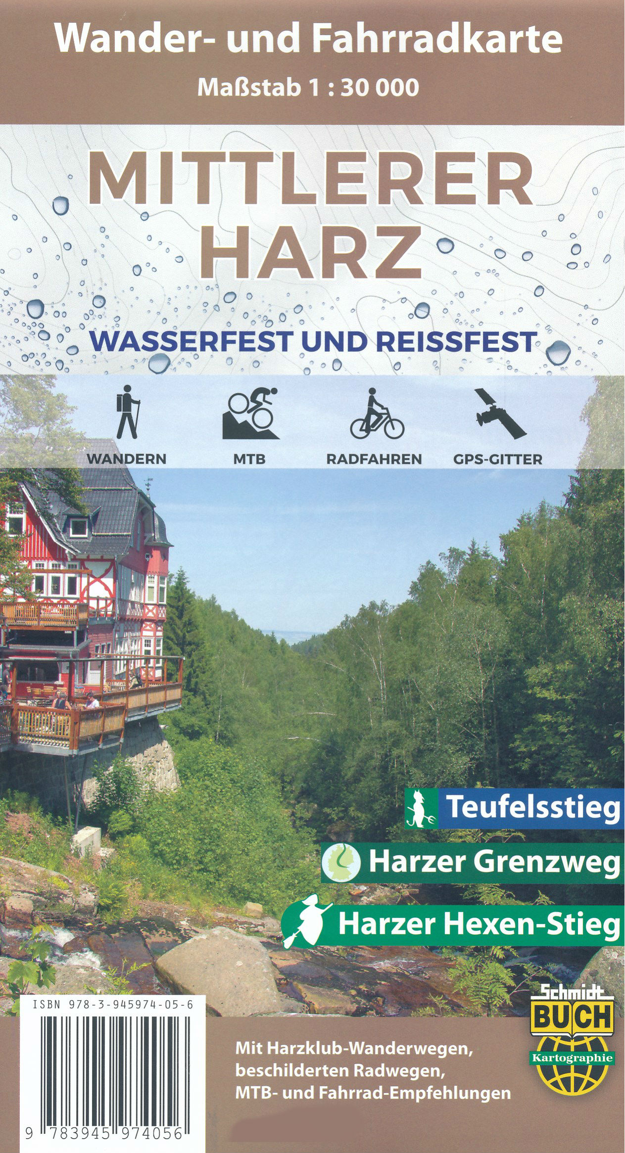
Wandelkaart - Fietskaart Der mittlere Harz | Schmidt Buch Verlag

Scheur- en watervaste wandelkaart en fietskaart van een gedeelte van de Harz

Die Wander- und Fahrradkarte „Mittlerer Harz“ ist der ideale Begleiter für Ausflüge vom Brocken bis Thale. Hier kann man sowohl anspruchsvolle Touren zu Fuß oder mit dem Mountainbike in die schroffe Bergwelt des Hochharzes unternehmen als auch bei seichten Trips ins flache nördliche Harzvorland Erholung finden. Auf der hügeligen Harzhochfläche um Elbingerode und Hasselfelde genießt man weite Laub- und Mischwälder, die immer wieder reizvolle Ausblicke auf romantische Stauseen und das Brockenmassiv bieten.


Thematische Fernwanderwege

Durch den mittleren Harz führen mehrere beschilderte Fernwanderwege, zu denen große Teile des Harzer Grenzweges, der Ostabschnitt des Harzer Hexen-Stieges und der Teufelsstieg gehören.


Das Material

Das wasser- und reißfeste Premium-Material der Wander- und Fahrradkarte „Mittlerer Harz“ trotzt widrigsten Witterungsbedingungen und ermöglicht eine komfortable Benutzung auch bei Sturm, Hagel, Schnee und Regen. Gedruckt im frequenzmodulierten Feinraster, bleibt das sehr inhaltsreiche Kartenbild übersichtlich und die Vorzüge des detaillierten Maßstabs 1:30.000 können voll genutzt werden.

So bleibt die Karte lange Zeit ein treuer Begleiter für Ausflüge, Wanderungen und Fahrradtouren in den mittleren Harz.


Das ist neu mit dieser Auflage


Aktualisierungen. Mit der aktuellen Auflage haben wir wieder Hinweise von Wanderern sowie vom Harzklub berücksichtigt und in eigener Recherche viele Gebiete aufwendig überprüft.

Stempelstellen. Ab dieser Auflage sind alle Stempelstellen mit den offiziellen Nummern der Harzer Wandernadel versehen. So wird das Stempel-Wandern noch komfortabler und einfacher.


€ 19.95
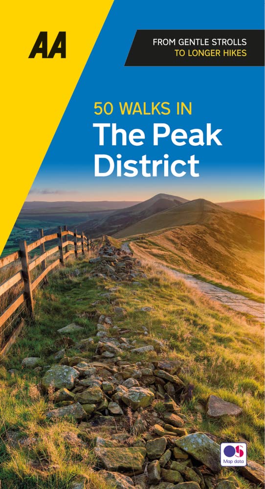
Wandelgids 50 Walks in the Peak District | AA Publishing

Uitstekende wandelgids met een aantal dagtochten tussen de 3 en 15 kilometer. Niet heel erg lang dus, maar wel op de mooiste plekken en goed beschreven en prima kaartmateriaal.

Featuring a variety of mapped walks to suit all abilities, this helpful guide features all the necessary practical details for a successful trip, including information on distance, gradient, level of difficulty, landscape, dog friendliness, parking availability, and restroom locations. Fascinating background on the history and wildlife of each area is provided, and local points of interest are indicated on accompanying full-color maps. All walks are annotated with places to visit along the way—including churches, country houses, museums, villages, and towns—as well as information on local restaurants, tea rooms, and pubs. Revised with new routes and updated maps and information, these guides are your key to experiencing the beauty and variety of the British landscape.

€ 14.50
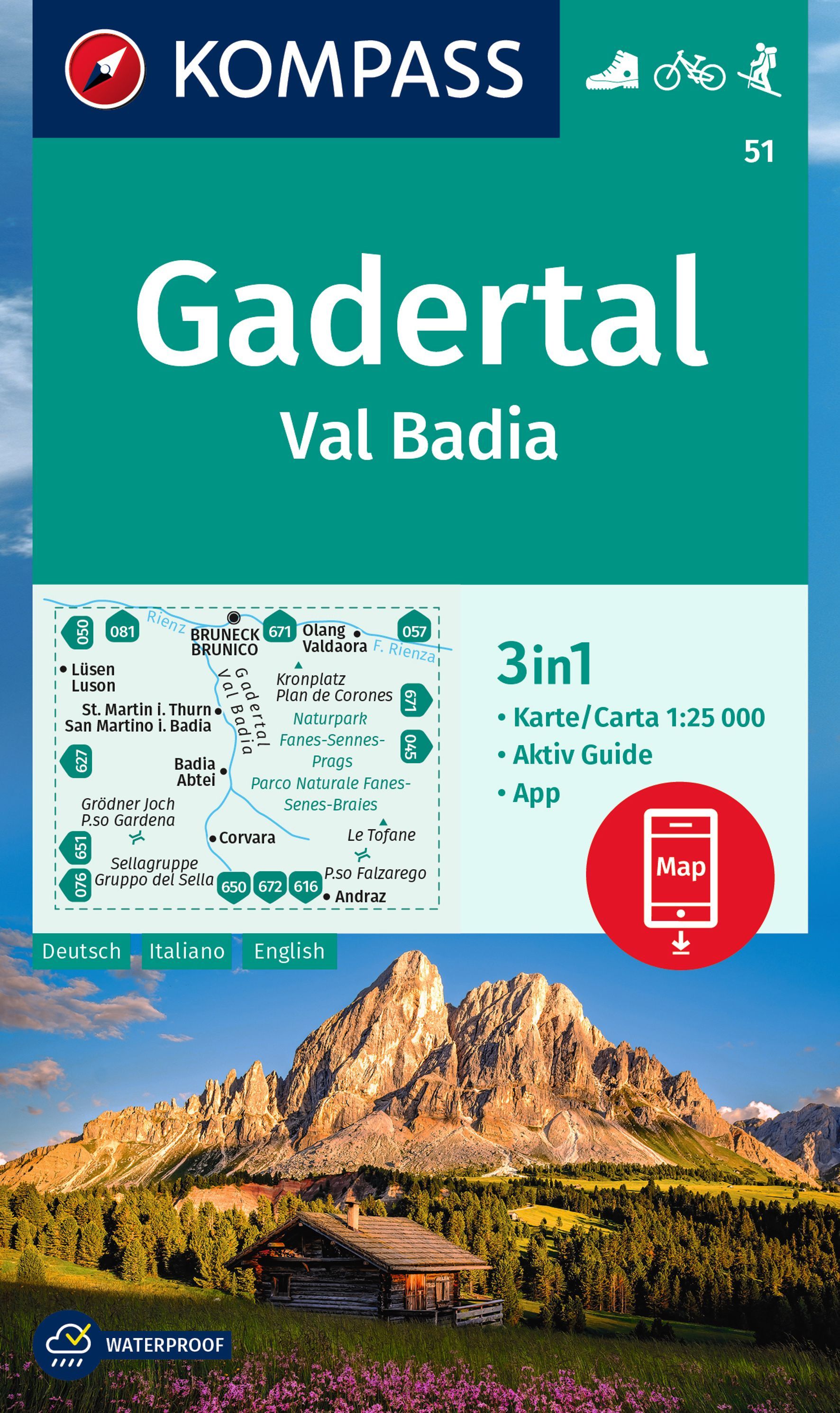
Wandelkaart 51 Gadertal - Val Badia | Kompass

Goede wandelkaart met vrijwel alle topografische details als hoogtelijnen, vegetatie, schaduwtekening maar ook de ingetekende wandelroutes en in veel gevallen ook fietsroutes (MTB). Gevaarlijke routes worden als zodanig weergegeven met een bepaalde markering. Berghutten en campings zijn goed terug te vinden op deze kaarten.


Daarnaast staan de toeristische bezienswaardigheden met symbolen vermeld. Kleurgebruik kan soms vrij fel overkomen, daardoor oogt deze detailkaart wellicht wat druk, maar het blijft een goed leesbare kaart. Sommige kaarten zijn geplastificeerd, maar helaas niet allemaal. De graden staan aan de zijkanten van de kaart, daardoor te gebruiken voor GPS.


Met Activ Guide: klein boekje met hutten en wandelingen


Steden/dorpen/gebieden:

Lüsen (Luson), Bruneck (Brunico), Olang (Valdaora), St. Martin (San Martino), Abtei (Badia), Corvara, Andraz


Bergen/dalen:

Kronplatz (Plan de Corones), Le Tofane, Passo Falzarego, Grödner Joch (Passo Gardena)


Rivieren/meren:

Rienz (F. Rienza)


€ 14.50
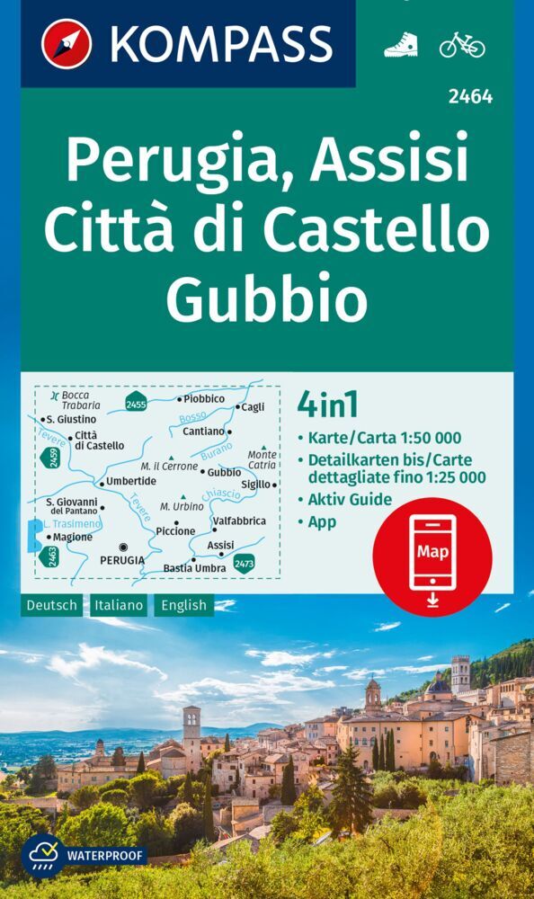
Wandelkaart 2464 Perugia - Assisi - Città di Castello - Gubbio | Kompass

Goede wandelkaart met vrijwel alle topografische details als hoogtelijnen, vegetatie, schaduwtekening maar ook de ingetekende wandelroutes en in veel gevallen ook fietsroutes (MTB). Gevaarlijke routes worden als zodanig weergegeven met een bepaalde markering. Berghutten en campings zijn goed terug te vinden op deze kaarten.


Daarnaast staan de toeristische bezienswaardigheden met symbolen vermeld. Kleurgebruik kan soms vrij fel overkomen, daardoor oogt deze detailkaart wellicht wat druk, maar het blijft een goed leesbare kaart. Sommige kaarten zijn geplastificeerd, maar helaas niet allemaal. De graden staan aan de zijkanten van de kaart, daardoor te gebruiken voor GPS.


Steden/dorpen/gebieden:

Perugia, Assisi, Cagli, Umbertide, Pantano, Magione, Gubbio, Città di Castello, Piobbico, Fraccano, Monte Urbino, Monte il Cerrone


Die 4in1 Wanderkarte ist jetzt noch übersichtlicher und besser lesbar. Die Wanderkarten aus den Top-Wanderregionen sind mit einer zusätzlichen Karte im Detailmaßstab ausgestattet. Der Aktiv Guide informiert Sie rund um das Thema Outdoor und die kostenlose App für unterwegs gibt es auch noch dazu. Das bildet die perfekte Grundlage für die Planung einer Wandertour. Die präzise Kartografie zeigt alle begehbaren Wanderwege inklusive Klassifizierung. Informationen wie Schwimmbäder, Klettersteige, Kinderspielplätze, Hütten und vieles mehr sind in der Karte ebenfalls enthalten. Dank der reiß- und wetterfesten Papierqualität ist die Karte bei jedem Wetter ein treuer Begleiter.

€ 13.95
Wandelkaart 2 Cinque Terre - Portofino | Freytag & Berndt

Goede wandelkaart van het beroemde Cinque Terre. Fietsroutes, wandelroutes en enkele mountainbike-tochten staan er op ingetekend. GPS - bruikbaar.


Explore the Italian coastline known as Cinque Terre and the fishing village of Portofino with this Freytag & Berndt travel set. Inside the plastic sleeve, you will find a hiking and leisure map; as well as a guide. The best way to plan your trip, prepare your itinerary, and to travel independently on this region. As with all Freytag & Berndt maps, the cartography is clear and detailed with the topography shown with relief shading with plenty of spot heights.


The hiking and leisure map includes an inset of the village of Portofino. Tourist information is marked clearly using a range of icons and markings. Tourist information displayed includes:


Roadways, footpaths, bridle paths, railway, shipping routes, moutain biking paths and hiking trails

Restaurants, churches, and other buildings of interest

Camping sites, caves, golf courses, information centres, parking locations, beaches, car ferries, and places for boating


Hiking trails marked are Alta Via dei Monti Linguri, Lunigiana, Alta Via del Golfo, Via Francigena, Alta via delle Cinque Terre and the Verdeazzurro hiking path. Distances between points are shown in kilometres and the legend is in German, Italian, English and French.


Also included is a guide booklet. This is in full colour with photographs; and written in German, Italian, English and French. Within this guide, you will find information on the climate, natural and cultural features, history, regions and walking routes of interest.

€ 14.95
Wegenkaart - landkaart Nieuw Zeeland - New Zealand | Freytag & Berndt

Gedetailleerde, tweezijdige landkaart van Nieuw Zeeland, prima geschikt voor planning en rondtrekken. De berijdbare wegen zijn goed weergeven, zowel de hoofdwegen als provinciale en lokale wegen; wegnummers worden vermeld. Afstanden tussen plaatsen zijn in kilometers op de kaart ingetekend, daarnaast worden ook op belangrijke plekken benzinepompen gemarkeerd.

In het kaartbeeld wordt door middel van schaduw het reliëf weergegeven en soms enkele punten in het landschap met de daadwerkelijke hoogte. Provinciegrenzen zijn goed terug te vinden, nationale parken en reservaten ook. Met allerhande symbolen worden toeristische bezienswaardigheden weergegeven als monumenten, historisch belangrijke plekken, uitzichtpunten, hotels en campings. Ook luchthavens, treinverbindingen en havens vindt u er op!


Explore New Zealand with this Freytag & Berndt map. The best way to plan your trip, prepare your itinerary, and to travel independently in this country. As with all Freytag & Berndt maps the cartography is clear and detailed with the topography shown by relief shading with plenty of spot heights.


This map includes detailed land information on New Zealand and includes a few insets of surrounding islands, including Chatham Island and Auckland Island. 


Freytag & Berndt maps make good use of an icon system. Icons show tourist information such as:


Diving sites and surf areas

Ski resorts

Museums and other places of interest

Nature reserves and lakes and river systems

Camping sites and hiking trails


Distances between points are shown as well as indications of steep gradients, all distances are in kilometres. The legend is in several languages including English.


Abonneer op