Uitstekende reisgids over dit land. Veel goede beschrijvingen van cultuur en geschiedenis maar ook vele praktische wetenswaardigheden.
Der weiße Fleck auf der touristischen Landkarte Europas schillert in Wirklichkeit bunt.
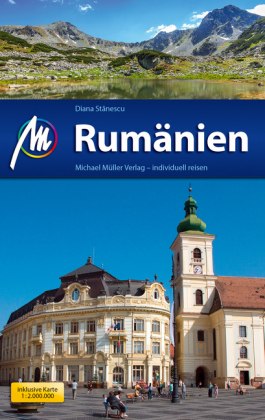
So in den restaurierten Altstädten Siebenbürgens mit ihren prächtigen Fassaden: Hermannstadt, Kronstadt, Schäßburg. Oder in den stolzen Kirchenburgen der deutschen Siedler und in den orthodoxen Bucovina-Klöstern – beide sind sie als UNESCO-Weltkulturerbe ausgezeichnet.
Was wäre noch zu nennen? Das atemberaubende Wasserlabyrinth des Donaudeltas, die wilde Weite der Karpaten, die Stille der Dörfer und Bukarest, die Hauptstadt der Kontraste.
Und sonst? Besondere Unterkünfte gefällig? Pelikane sehen? Ein Bären-Pflegeheim besuchen? Erfahren, was eine Ehe-Kammer ist? Rumänische Design-Maßschuhe kaufen?
Na, dann kommen Sie mit!
€ 27.95