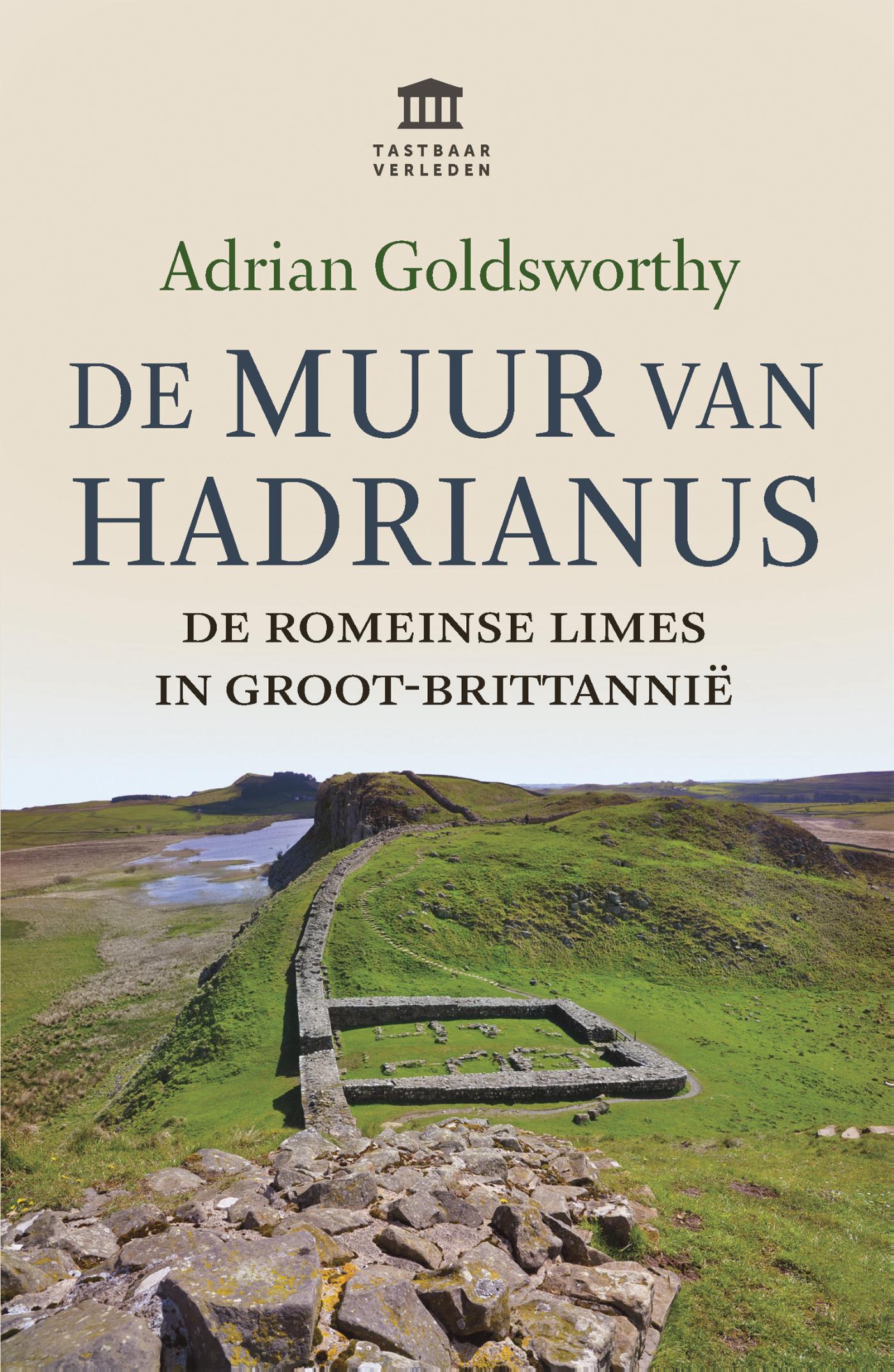
In 'De Muur van Hadrianus' schrijft oudhistoricus Adrian Goldsworthy over de Romeinse limes in Groot-Brittannië. Keizer Hadrianus besloot in het jaar 122 tijdens een rondreis door het rijk dat de noordgrens in Brittania versterkt moest worden. De 117 kilometer lange Muur van Hadrianus strekte zich uit van kust tot kust, net iets ten zuiden van de huidige grens met Schotland. De muur was een indrukwekkend vertoon van de Romeinse macht. Vooral in het midden staat de muur nog overeind, als levend monument in het landschap. In dit eerste deel in de serie Tastbaar Verleden beschrijft Goldsworthy de geschiedenis van de muur, van het ontwerp tot de bouw en het leven van de wachters
€ 24.00
€ 18.50
Uitstekende beschrijvingen van deze steeds populairder wordende bergtocht! Goede routebeschrijving, veel praktische informatie, hoogteprofielen en redelike kaartjes. Met alle noodzakelijke info. Zie voor beschrijving de duitse tekst hieronder ...
Der Tiroler Höhenweg ist ein hochalpiner Weitwanderweg der Superlative, der in grandioser Landschaft durch Bergregionen unterschiedlichster Charakteristik verläuft. Als grenzüberschreitender Fernwanderweg verbindet er, was der Erste Weltkrieg einst getrennt hat. Durch die Zillertaler Alpen mit ihren beeindruckenden Eisriesen führt er zum Brennerpass, anschließend durch die Tribulaune mit ihren bleichen Dolomit-Zacken. Danach streift der Höhenweg die Stubaier und die Ötztaler Alpen, bevor er nach Durchquerung der Texelgruppe mit den Spronser Seen absteigt, um schließlich die Apfelgärten Merans zu erreichen.
Der Rother Wanderführer »Tiroler Höhenweg« beschreibt neben den 13 Original-Etappen zahlreiche Varianten und Gipfelbesteigungen (darunter neun Dreitausender), die Lust auf zusätzliche Abstecher machen. Ergänzend bietet der Führer ausführliche Informationen zu Geschichte, Kultur und Sehenswürdigkeiten sowie viele Tipps zu lohnenden Einkehrmöglichkeiten. Die einzelnen Etappen werden mit exakten Wegbeschreibungen, Kartenausschnitten mit eingezeichnetem Routenverlauf und aussagekräftigen Höhenprofilen präsentiert. Infos zu Verkehrsmitteln und Einkaufsmöglichkeiten vereinfachen die Etappenplanung. GPS-Tracks stehen zum Download bereit.
Der Autor Christian Starke bekam die Liebe zum Wandern und die Sehnsucht nach den Bergen von seinen Eltern mit in die Wiege gelegt und ist schon seit frühester Kindheit im Gebirge unterwegs. Den Tiroler Höhenweg konnte er bei traumhaftem Wander- und bestem Fotowetter erkunden.
224 Seiten mit 192 Farbabbildungen
51 Höhenprofile, 51 Wanderkärtchen im Maßstab 1:75.000, zwei Übersichtskarten, GPS-Tracks zum Download
€ 27.99
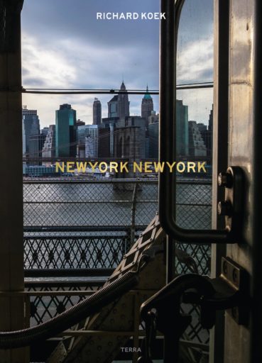
De van oorsprong Nederlandse fotograaf Richard Koek legt de diversiteit van New York City vast en toonde zijn werk op o.a. Photoville in New York en het Fotofestival in Naarden. Richard werkte voor Het Nederlands Nationaal Archief, het Ministerie van Buitenlandse zaken, verschillende Nederlandse dagbladen en tijdschriften, waaronder The New York Times, The New York Review of Books en Interview Magazine.
New York is een stad die continu verandert, anders dan Amsterdam of Parijs. Op een paar vaste plekken na, zoals Grand Central en het Empire State Building, is de stad bij elke terugkeer weer anders, zelfs het iconische Times Square is nooit hetzelfde.
In deze wereld speelt het leven zich af dat de Amsterdamse New Yorker Richard Koek in zijn foto’s vastlegt. Hij toont mensen die koelbloedig en met gezonde ironie overleven in een stad die harde werkers eert en geen medelijden toont voor wie geen succes heeft. De mensen, komend uit alle windstreken, koesteren hun verleden met weemoed en trots en proberen dat geluk waarvan ze altijd gedroomd hebben, zelf te creëren.
In dit bijzondere fotoboek en de bijbehorende expositie laat Richard Koek een indrukwekkende stad en zijn inspirerende bewoners zien.
Grote gebonden uitgave
€ 14.50
Let op! Duitstalige gids!
Handige en overzichtelijke, kleine reisgids voor een eerste kennismaking met de vakantiebestemming. Globale uitklapkaart achterin, makkelijk binnenzakformaat.
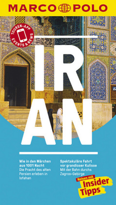
Erleben Sie Iran mit all seinen Facetten! Der kompakte und unkomplizierte MARCO POLO Reiseführer bringt Sie mitten rein ins Geschehen: mit brandaktuellen Informationen, Erlebnistouren und tollen Insider-Tipps. Begleitend zum Buch: Touren-App und Update-Service.
Entdecken Sie mit MARCO POLO den Iran von den glänzenden Palästen und Moscheen Isfahans bis zu den kilometerlangen Ladengassen im Basar von Kashan - mit dem MARCO POLO Reiseführer kommen Sie sofort im Iran an. Erfahren Sie, welche Highlights Sie neben den Juwelen der Schahs in Teheran und einem Trip in die spektakuläre Wüste Lut nicht verpassen dürfen, wo sich die aussichtsreichsten Routen durch einmalige Landschaften winden und dass Sie bei einer Bootsfahrt vor dem Inselchen Hengam Bekanntschaft mit Delphinen machen können.
Die Insider-Tipps des Autors lassen Sie den Iran individuell und authentisch erleben und mit den Low-Budget-Tipps sparen Sie bares Geld. Erkunden Sie den Iran in all seinen Facetten mit den maßgeschneiderten MARCO POLO Erlebnistouren. Das speziell dafür entwickelte Design sorgt - schon beim Lesen und umso mehr vor Ort - für größtmögliche Orientierung.
Die kostenlose Touren-App führt Sie
digital (und ohne Roaminggebühren) auf den besonderen Wegen der Erlebnistouren. Und Events&News mit aktuellen Veranstaltungen (Ausstellungen, Konzerten, Festivals, Sportevents...) für die nächsten 3 Monate, brandaktuellen Informationen zu den Printinhalten und zusätzlichen Insider-Tipps hält Sie immer auf dem neuesten Stand. In jedem Band gibt es einen übersichtlichen Reiseatlas und eine herausnehmbare Faltkarte - in beide sind natürlich die Erlebnistouren eingetragen.
€ 15.95
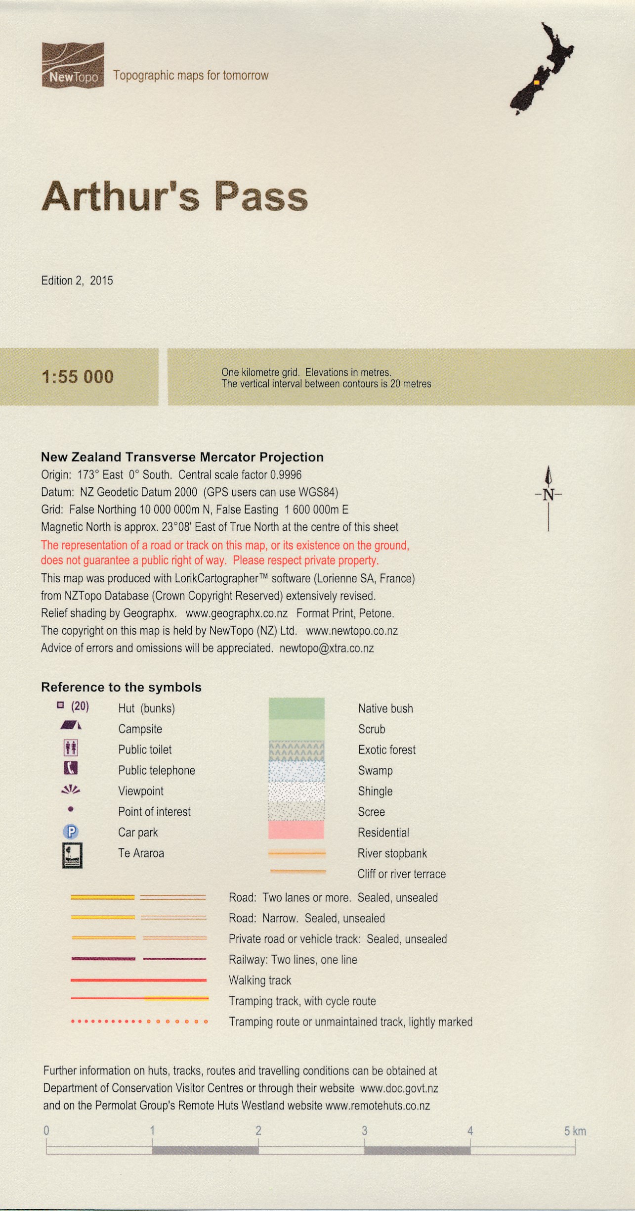
Een kaartenserie van NewTopoNZ van vrijwel alle nationale parken, meerdaagse tochten en belangrijke wandelgebieden in Nieuw Zeeland. We hebben een selectie van de kaarten op voorraad.
Het zijn bijzonder leesbare kaarten met een helder kaartbeeld in goede kleurstelling. Alle belangrijke topografische details kun je er op terugvinden: hoogtelijnen, bergtoppen, stromen en rivieren, vegatatietype, gletsjers. De kaarten zijn bruikbaar samen met GPS.
Daarnaast is er toeristische informatie toegevoegd in de vorm van symbolen (zoals bruggen, stranden, watertaxi's, uitzichtspunten en parkeerplaatsen) en staan campings en hutten aangeduid. De wandelroutes zijn ingetekend met een rode lijn, verschillend naar gemarkeerd en ongemarkeerd, zelfs afstanden tussen hutten worden vaak vermeld.
Arthurs Pass National Park has something for everyone – from easy tramps to difficult climbs and everything in between. This new map encourages exploration of a variety of geographic environments and the development of self-sufficiency.
Note that the Casey Hut was burnt down in October 2015. The nearest hut is the Trust/Poulter Hut 5km north up the Poulter River.
€ 11.95
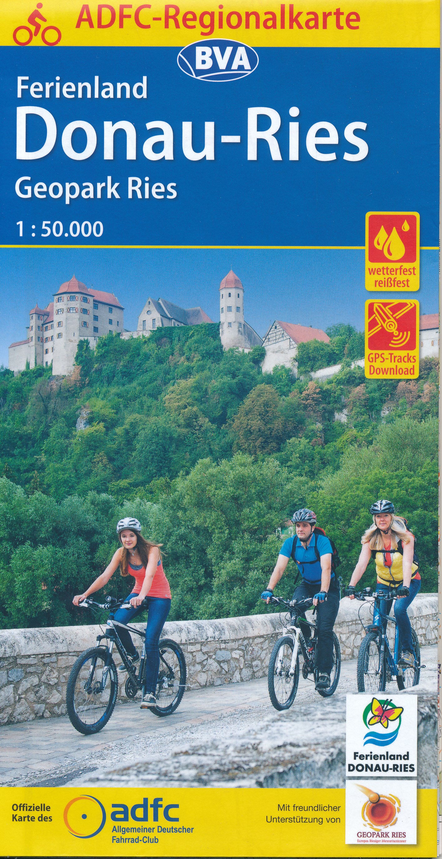
Dit is de meest geschikte fietskaart wanneer u wat langer in één regio verblijft. De kaart is van de ADFC (Algemeine Deutsche Fahrrad Club).
Echt alle relevante fietsinfo is op deze kaart terug te vinden.
Zeer goede heldere, betrouwbare kaart met ingetekend alle bewegwijzerde routes
* Zeer gedetailleerde kaart
* Vermelding van verkeersdrukte
* Vermelding van type wegdek
* Hellingen worden aangegeven middels 1 of 2 pijlen
* Hoogtelijnen aanwezig
* Relevante info als fietsenmakers, campings, horeca etc..aanwezig
* Geschikt voor verblijf in 1 bepaald gebied
ADFC recommended topographic cycling maps of popular regions of Germany giving details of routes, volume of traffic so you can choose the calmest route, details of gradients, camp sites, & tourist information. With these maps you can work out a route to suit all tastes, whether for family or for mountain bikers.
€ 13.95
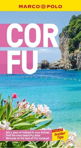
Handige en overzichtelijke, kleine reisgids voor een eerste kennismaking met de vakantiebestemming. Globale uitklapkaart achterin, makkelijk binnenzakformaat. (Engelstalig)
Your Marco Polo Corfu Pocket Guide includes: Insider Tips - we show you the hidden gems and little known secrets that offer a real insight into this beautiful island, from where royalty used to bathe to which trail to use to explore the entire island. Best of - find the best things to do for free, the best `only in' Corfu experiences, the best things to do if it rains and the best places to relax and spoil yourself. Sightseeing - all of the top sights are organized by areas of the island so you can easily plan your trip. Discovery Tours - 5 specially tailored tours that will get you to the heart of Corfu on foot, by car or by boat! Here are inspirational itineraries that will help you enjoy authentic Corfu. Discover wild, steep coastlines, fantastic beaches, old Venetian villages, tempting tavernas and historical treats.
Marco Polo Pocket Guide Corfu includes full-colour photos throughout the guide bringing the island to life offering you a real taste of what you can see and enjoy on your trip. Touring App - you can download any of the Discovery Tours to your smartphone, complete with the detailed route description and map exactly as featured in the guide, free of charge. The maps can be used offline too, so no roaming charges. The perfect navigational tool with distance indicators and landmarks highlighting the correct direction to travel in as well as GPS coordinates along the way. Enjoy stress-free sightseeing and never get lost again! Road Atlas and pull-out map - we've included a detailed road atlas and a handy, pull-out map so you can pop the guide in your bag for a full-on sightseeing day or head out with just the map to enjoy your Discovery Tour. Useful Greek phrases - the essential words and phrases are included to help you get by. Trust Marco Polo Pocket Guide Corfu to show you around this fabulous Greek island. The comprehensive coverage and unique insights will ensure you experience everything Corfu has to offer and more.
€ 25.95
De meest complete atlas van Italië op een schaal van 1:200.000. Helaas niet in spiraalbinding, maar wel bijzonder stevig ingebonden, ook bij intensief gebruik zal deze niet snel uit elkaar vallen.
De weergave van het reliëf is erg mooi op deze wegenkaarten. Daarom zijn ze niet alleen geschikt als gedetailleerde autokaart, maar ook als fietskaart. Italie valt in 15 bladen. Touring Club Italiano landkaarten /TCI autokaarten Italië.
Ook onder de fietsers - bij gebrek aan echte fietskaarten - staat deze kaartenserie goed aangeschreven: als fietskaart dus prima te gebruiken.
De uitgebreide wegenkaarten van Touring Club Italiano zijn zeker een must voor de vakantieganger die Italië met de auto wil verkennen. De Touring Club kaarten zijn voor bijna elke regio verkrijgbaar. Verder wordt er aangegeven waar de mooie plekjes te vinden zijn. De groen onderstreepte plaatsen zijn interessant, plaatsen in een groen kader zijn erg interessant en wanneer er een groen vak om een plaatsnaam is gedrukt, is de plek bijzonder leuk om te bezoeken. Ook zijn de mooiste routes in groen gedrukt. De legenda is 1:200 000, waarmee deze kaarten vergeleken met de ANWB gedetailleerder zijn.
Achterin een uitgebreid register en een aantal stadsplattegronden.
€ 6.95
Aan de hand van de paaltjes in het veld en deze wandelkaart kun je eindeloos wandelen in Twente. Echt een aanrader, werkt eenvoudig en genoeg combinaties mogelijk.
Het wandelnetwerk Twente is in totaal 3500 kilometer groot. Het beslaat de mooiste wandelroutes, wandelpaden en lange-afstandswandelingen welke reeds beschikbaar waren in Twente, maar dan aaneengeknoopt tot Wandelnetwerk Twente door middel van 1275 keuzepunten. Het wandelnetwerk is in een aantal fasen ontwikkeld waarvan de eerste al in 2007. Op dit moment kun je op het Wandelnetwerk Twente 455 verschillende wandelroutes lopen. De routes zijn door middel van de keuzepunten verbonden en verwijzen in beide richtingen naar elkaar. Op een keuzepunt kun je overstappen op een andere wandelroute door eenvoudig de kleur van de route van keuze te volgen.
Het Wandelnetwerk Twente is dusdanig groot dat er 5 overzichtskaarten zijn uitgebracht. Elke kaart geeft een kwart van het wandelnetwerk weer. De delen zijn uiteraard aangesloten op de andere delen van Wandelnetwerk Twente.
Ommetjes, half- en heeldaagse wandelingen, meerdaagse tochten of thematische routes: alles is nu mogelijk in Twente. Bijna alle doorgaande lange-afstandswandelingen zijn in het wandelnetwerk opgenomen.
€ 18.50
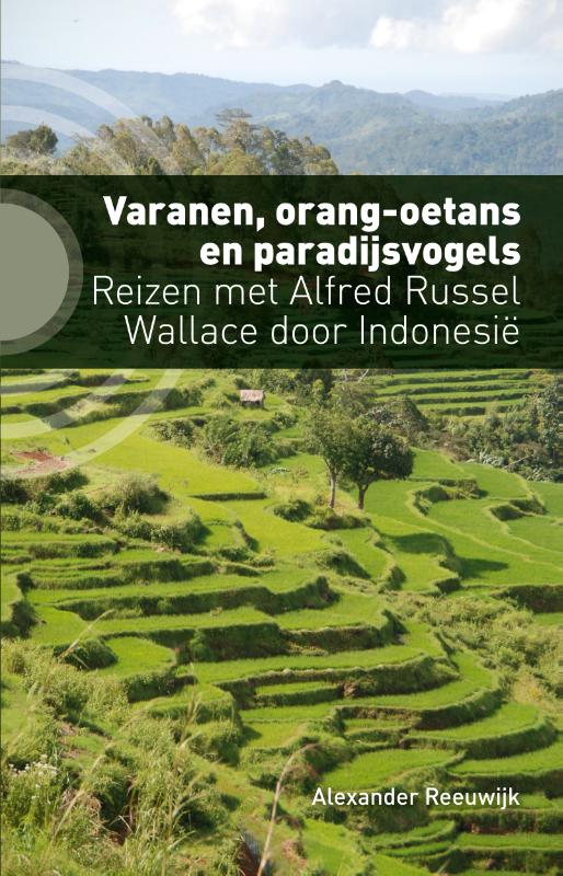
In het midden van de negentiende eeuw reisde de Britse natuuronderzoeker Alfred Russel Wallace door Indonesië. Hij verzamelde er dieren en stuurde Darwin en passant het essay dat leidde tot de publicatie van de evolutietheorie. Tijdens zijn achtjarig verblijf ontdekte hij ook dat de flora en fauna in het westen van de archipel volledig verschilde van die in het oosten. Over dat fenomeen, biogeografie, publiceerde hij tal van boeken en artikelen, waaronder het reisboek The Malay Archipelago.
Alexander Reeuwijk vertrok naar Indonesië, met in zijn rugzak een verrekijker, de boeken van Wallace en tijdgenoten en artikelen over de meest recente wetenschappelijke inzichten. Hij reisde over land van Sumatra naar Papoea, onder andere om orang-oetans te bestuderen en paradijsvogels te zien dansen. Kun je biogeografie zien en begrijpen? En hoe is het eigenlijk met de staat van de natuur in Indonesië? Nu in een volledig herziene en geactualiseerde editie.

